Barley Hill

Hill, Mountain in Kirkcudbrightshire

Scotland

Barley Hill

Threave Road, Rhonehouse Rhonehouse is also known as Kelton Hill. The road to the right leads to Bridge of Dee.
Threave Road, Rhonehouse Credit: Richard Sutcliffe

The requested URL returned error: 429 Too Many Requests

If you have any feedback on the listing, please let us know in the comments section below.
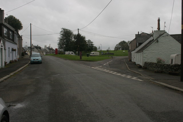
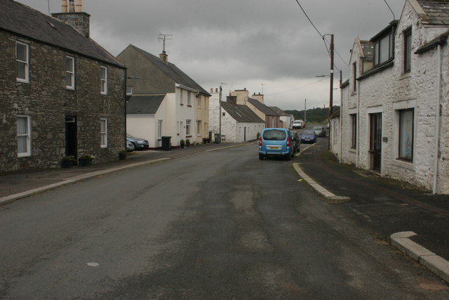
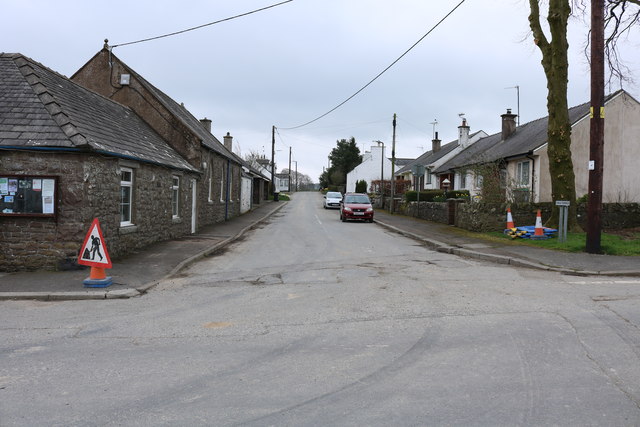
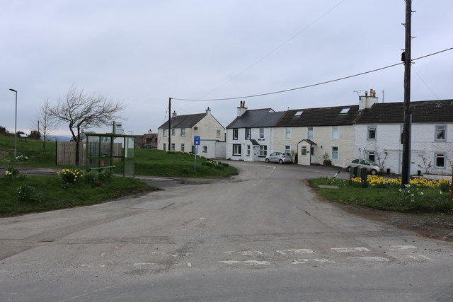
Barley Hill Images

Images are sourced within 2km of 54.932042/-3.9521873 or Grid Reference NX7561. Thanks to Geograph Open Source API. All images are credited.

Threave Road, Rhonehouse Rhonehouse is also known as Kelton Hill. The road to the right leads to Bridge of Dee.
Threave Road, Rhonehouse
Rhonehouse is also known as Kelton Hill. The road to the right leads to Bridge of Dee.
Threave Road, Rhonehouse Looking towards Threave.
Threave Road, Rhonehouse
Looking towards Threave.
Minor road near Kelton Hill The minor road leading away from Rhonehouse to the south east.
Minor road near Kelton Hill
The minor road leading away from Rhonehouse to the south east.
Mid Kelton Farm The entrance driveway to Mid Kelton farm.
Mid Kelton Farm
The entrance driveway to Mid Kelton farm.
Daffodils at Rhonehouse
Car Park, Rhonehouse
Rhonehouse
Rhonehouse
Rhonehouse
Rhonehouse
History of the Fair Green, Rhonehouse
Fair Green, Rhonehouse
Craig Terrace, Rhonehouse
School Road, Rhonehouse
Rhonehouse
Rhonehouse
Rhonehouse
Rhonehouse
Telephone Box, Rhonehouse
Footpath For Castle Douglas This path leads to Crae Hill and Castle Douglas, providing an attractive and easy round trip in this lovely part of Galloway.
Footpath For Castle Douglas
This path leads to Crae Hill and Castle Douglas, providing an attractive and easy round trip in this lovely part of Galloway.
Show me another place!

Barley Hill is located at Grid Ref: NX7561 (Lat: 54.932042, Lng: -3.9521873)

Unitary Authority: Dumfries and Galloway

Police Authority: Dumfries and Galloway

What 3 Words

///state.geese.obey. Near Castle Douglas, Dumfries & Galloway

Nearby Locations

Barley Hill Furbar Hill

Related Wikis

Threave Gardens

Threave Garden and Estate is a series of gardens owned and managed by the National Trust for Scotland, located near Castle Douglas in the historical county...

Threave Rovers F.C.

Threave Rovers Football Club are a football club from Castle Douglas in Dumfries and Galloway, Scotland. Formed in October 1953, the club plays its home...

Carlingwark Loch

Carlingwark Loch is a small freshwater loch in the historical county of Kirkcudbrightshire, Dumfries and Galloway, Scotland lying just south of Castle...

Threave Castle

Threave Castle is situated on an island in the River Dee, 2.5 kilometres (1.6 mi) west of Castle Douglas in the historical county of Kirkcudbrightshire...

Nearby Amenities

Located within 500m of 54.932042,-3.9521873
Barrier: kissing_gate
Lat/Long: 54.9312832/-3.951164
Hightae Farm
Naptan AtcoCode: 680000948333
Naptan Bearing: W
Naptan BusStopType: CUS
Naptan CommonName: Hightae Farm
Naptan Indicator: Road End
Naptan Landmark: Hightae
Naptan NaptanCode: 34236482
Naptan Notes: none
Naptan Street: B736
Naptan Verified: no
Source: naptan_import
Lat/Long: 54.9295982/-3.9473789
Hightae Farm
Naptan AtcoCode: 680000948444
Naptan Bearing: E
Naptan BusStopType: CUS
Naptan CommonName: Hightae Farm
Naptan Indicator: opp Road End
Naptan Landmark: Hightae
Naptan NaptanCode: 34238678
Naptan Notes: none
Naptan Street: B736
Naptan Verified: no
Source: naptan_import
Lat/Long: 54.9296801/-3.9473204
Barley Hill
Ele: 72
Natural: peak
Lat/Long: 54.9320429/-3.9521902
Horse Hill
Ele: 66
Natural: peak
Lat/Long: 54.9333933/-3.9453157
Barrier: cattle_grid
Lat/Long: 54.9337692/-3.958502
Barrier: kissing_gate
Foot: yes
Lat/Long: 54.9327078/-3.9572055
Barrier: kissing_gate
Lat/Long: 54.9337113/-3.9536337
Barrier: kissing_gate
Lat/Long: 54.934437/-3.9520686
Barrier: kissing_gate
Lat/Long: 54.9344776/-3.9519751
Barrier: kissing_gate
Lat/Long: 54.9288656/-3.9511057
Barrier: kissing_gate
Lat/Long: 54.9288086/-3.9510502
Barrier: kissing_gate
Lat/Long: 54.9279181/-3.9504803
Barrier: kissing_gate
Lat/Long: 54.9278321/-3.9504652
Power: pole
Lat/Long: 54.9292039/-3.9518417
Power: pole
Lat/Long: 54.9297898/-3.9527206
Power: pole
Lat/Long: 54.9301817/-3.9533132
Power: pole
Lat/Long: 54.9311287/-3.9547534
Power: pole
Lat/Long: 54.9319716/-3.9554019
Power: pole
Lat/Long: 54.9326037/-3.9558782
Power: pole
Lat/Long: 54.934396/-3.9583381
Power: pole
Lat/Long: 54.9286033/-3.9509629
Barrier: stile
Lat/Long: 54.9312/-3.9512479
Barrier: cattle_grid
Lat/Long: 54.9327022/-3.9571493
Power: pole
Lat/Long: 54.9332113/-3.9567121
The data included in this document is from www.openstreetmap.org. The data is made available under ODbL.

Have you been to Barley Hill?

Leave your review of Barley Hill below (or comments, questions and feedback).