Green Hill

Hill, Mountain in Lanarkshire

Scotland

Green Hill

Castlebrocket Farm
Castlebrocket Farm Credit: Gordon Brown

The requested URL returned error: 429 Too Many Requests

If you have any feedback on the listing, please let us know in the comments section below.
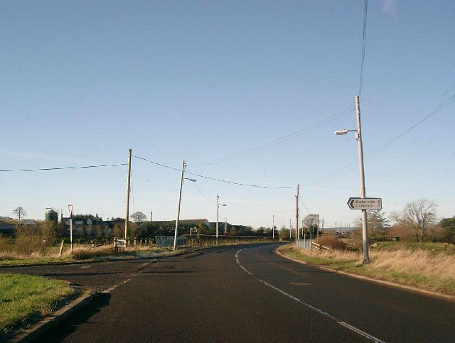
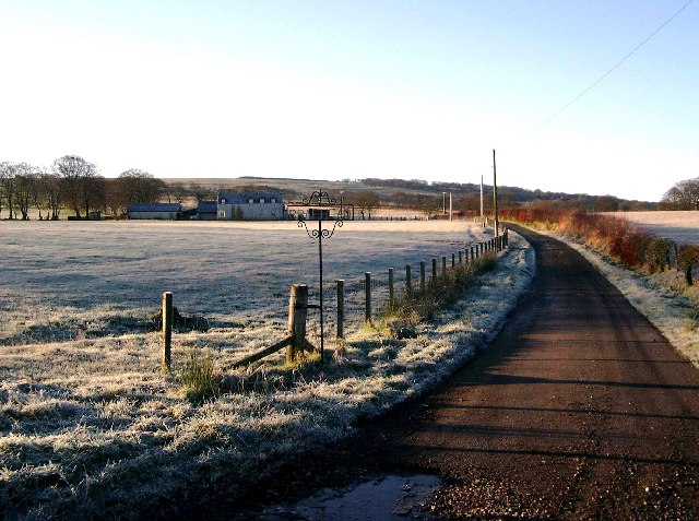
Green Hill Images

Images are sourced within 2km of 55.662576/-3.9936034 or Grid Reference NS7442. Thanks to Geograph Open Source API. All images are credited.

Castlebrocket Farm
Castlebrocket Farm
Tweedieside, by Sandford
Farm buildings near Sandford
Kypeside trout fishery
Deadwater and the bridge over the Kype Water This bridge carries the B7086 over the Kype Water.  This road was formerly the A726 but was quietly demoted to a B road - the lack of maintenance now shows whenever you use it.
Deadwater and the bridge over the Kype Water
This bridge carries the B7086 over the Kype Water. This road was formerly the A726 but was quietly demoted to a B road - the lack of maintenance now shows whenever you use it.
Braehead farm roadend on a frosty morning
Cottage at Juanhill
Cottage at Juanhill
Road end for Townend and Goslington farms
Brankston road end
Brankston road end
A Tree, a trig, a transmission line! In the middle can be seen the trig point near Goslington.
A Tree, a trig, a transmission line!
In the middle can be seen the trig point near Goslington.
Greenburn farm and its track
A field of newly sprouted grass Tinto Hill in the distance
A field of newly sprouted grass
Tinto Hill in the distance
A splash of purple Some flowers, or are they weeds, next to old Roman road, on land belonging to Couplaw farm, south of Stonehouse.
A splash of purple
Some flowers, or are they weeds, next to old Roman road, on land belonging to Couplaw farm, south of Stonehouse.
Approaching Deadwaters from the south Not the most attractive name for a village!
Approaching Deadwaters from the south
Not the most attractive name for a village!
Over the field to Castlebrocket farm
The Kype Water in spate
Recently trimmed beeches Hedges are kept well trimmed in this area, and the beech trees on the right have also had their lower growths trimmed back.
Recently trimmed beeches
Hedges are kept well trimmed in this area, and the beech trees on the right have also had their lower growths trimmed back.
Recently trimmed beech hedge
Show me another place!

Green Hill is located at Grid Ref: NS7442 (Lat: 55.662576, Lng: -3.9936034)

Unitary Authority: South Lanarkshire

Police Authority: Lanarkshire

What 3 Words

///eliminate.partied.gadget. Near Stonehouse, South Lanarkshire

Nearby Locations

Green Hill

Related Wikis

Sandford, South Lanarkshire

Sandford is a village near Strathaven, South Lanarkshire in Scotland. It lies approximately 15 miles (24 km) southeast of Glasgow. It has 50 houses and...

Boghead

Boghead is a small village in South Lanarkshire, west central Scotland. It is about 23 miles (37 km) southeast of Glasgow and sits nearby to the River...
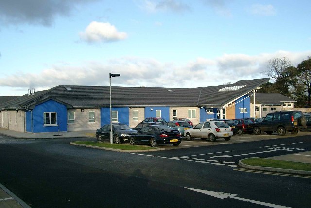
Stonehouse Hospital

Stonehouse Hospital is a health facility in Strathaven Road, Stonehouse, South Lanarkshire, Scotland. It is managed by NHS Lanarkshire. == History == The...

Royal Albert F.C.

Royal Albert Football Club are a football club, historically based in the town of Larkhall, Scotland and are now playing in the nearby village of Stonehouse...

Nearby Amenities

Located within 500m of 55.662576,-3.9936034
Greer Hill
Ele: 242
Natural: peak
Source: survey
Lat/Long: 55.6623337/-3.9919289
Design: barrel
Power: tower
Lat/Long: 55.6652074/-3.9958205
Design: barrel
Power: tower
Lat/Long: 55.6605148/-3.9906991
Design: barrel
Power: tower
Lat/Long: 55.6629069/-3.9933177
Power: pole
Lat/Long: 55.6585886/-3.9964324
Power: pole
Lat/Long: 55.6593938/-3.9969929
Power: pole
Lat/Long: 55.660159/-3.9975493
Power: pole
Lat/Long: 55.660662/-3.9979014
Power: pole
Lat/Long: 55.6612074/-3.9990975
Power: pole
Lat/Long: 55.6617716/-4.0003143
Power: pole
Lat/Long: 55.6669857/-3.9924537
Power: pole
Lat/Long: 55.6665626/-3.992612
Power: pole
Lat/Long: 55.6661572/-3.9927745
Power: pole
Lat/Long: 55.665747/-3.9929183
The data included in this document is from www.openstreetmap.org. The data is made available under ODbL.

Have you been to Green Hill?

Leave your review of Green Hill below (or comments, questions and feedback).