Gallow Hill
Hill, Mountain in Perthshire
Scotland
Gallow Hill
The requested URL returned error: 429 Too Many Requests
If you have any feedback on the listing, please let us know in the comments section below.
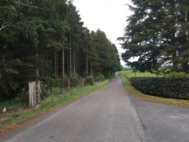
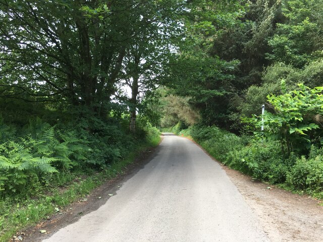
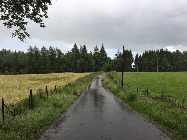
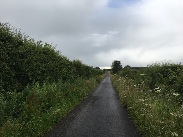
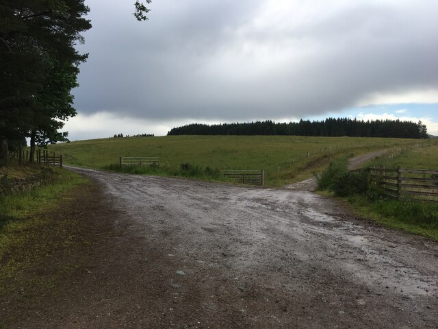
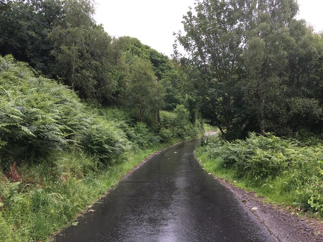
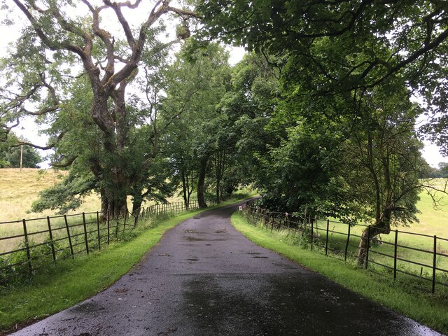
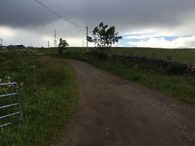
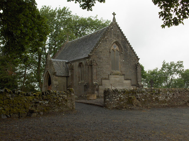
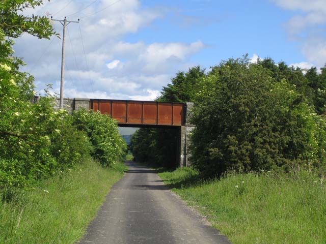
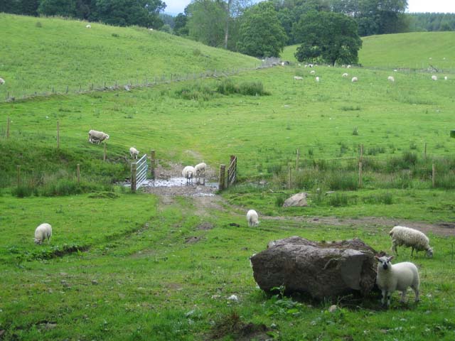
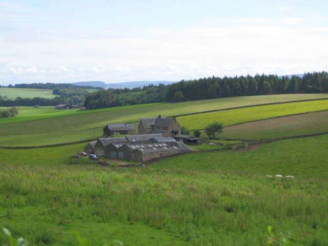
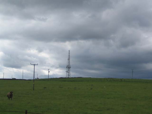
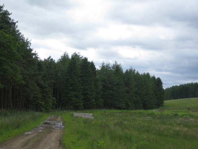
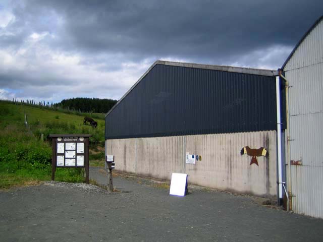
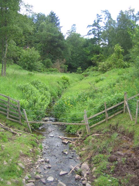
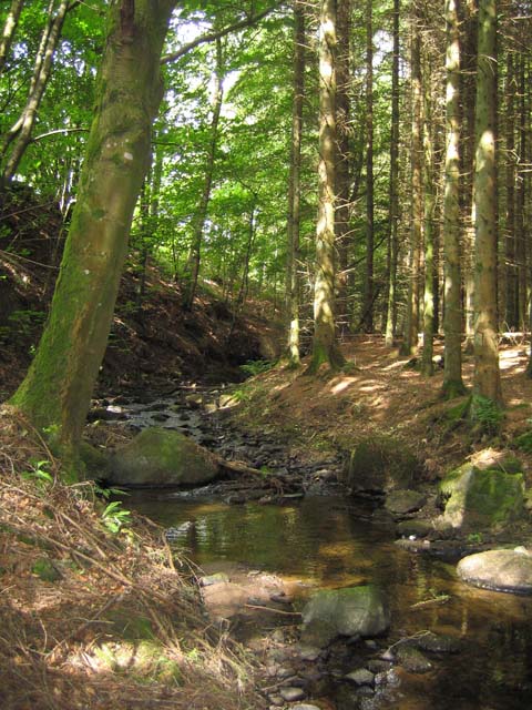
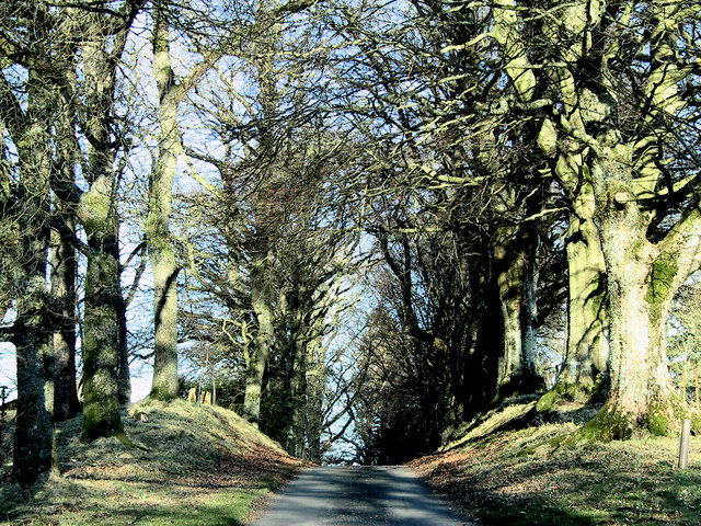
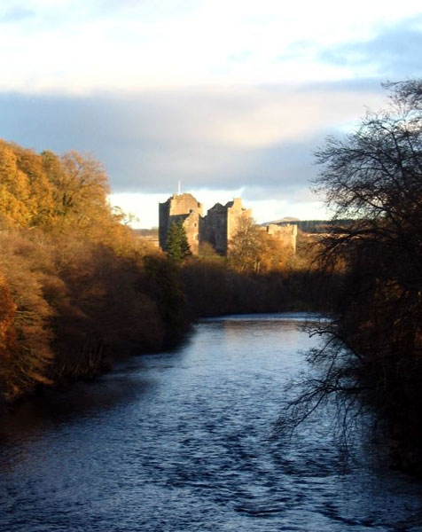
Gallow Hill Images
Images are sourced within 2km of 56.209222/-4.0220027 or Grid Reference NN7403. Thanks to Geograph Open Source API. All images are credited.
Gallow Hill is located at Grid Ref: NN7403 (Lat: 56.209222, Lng: -4.0220027)
Unitary Authority: Stirling
Police Authority: Forth Valley
What 3 Words
///offline.salmon.warping. Near Doune, Stirling
Nearby Locations
Related Wikis

Kilbryde Castle
Kilbryde Castle is a castellated Scottish castle in the Scots baronial style. The castle lies on the A820 between Doune and Dunblane in southern Perthshire...

Argaty
Argaty is a farm estate located just over a mile northeast of Doune, Stirling, Scotland. The present Argaty House dates from the 19th century with baronial...

Doune railway station
Doune was a railway station located in Doune, in the council area of Stirling, Scotland. The station was rebuilt in typical Caledonian Railway style in...
Doune
Doune (; from Scottish Gaelic: An Dùn, meaning 'the fort') is a burgh within Perthshire. The town is administered by Stirling Council. Doune is assigned...
Have you been to Gallow Hill?
Leave your review of Gallow Hill below (or comments, questions and feedback).