Douglas Rig
Hill, Mountain in Lanarkshire
Scotland
Douglas Rig
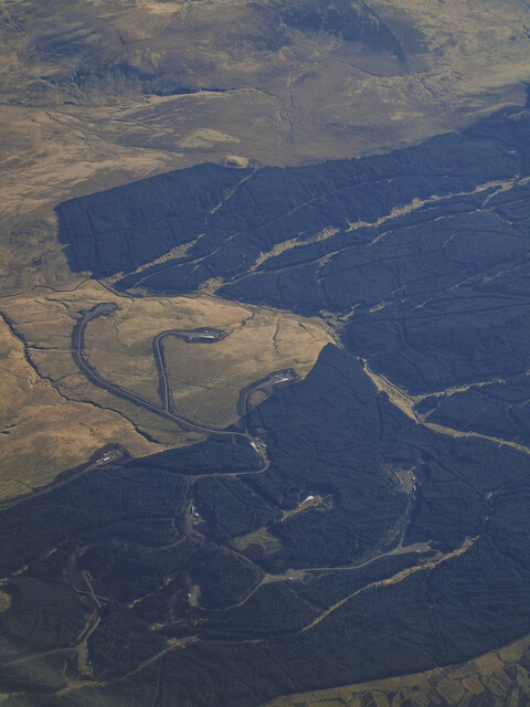
Douglas Rig is a prominent hill located in Lanarkshire, Scotland. It stands at an elevation of approximately 415 meters (1,362 feet) above sea level and is part of the Southern Uplands range. The hill is situated about 6 miles southeast of the town of Lanark.
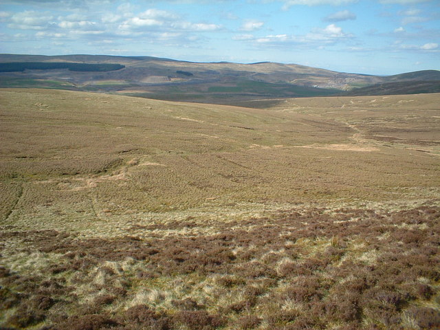
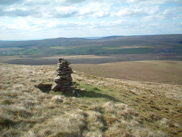
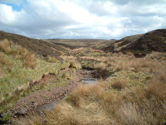
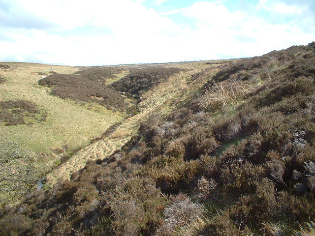
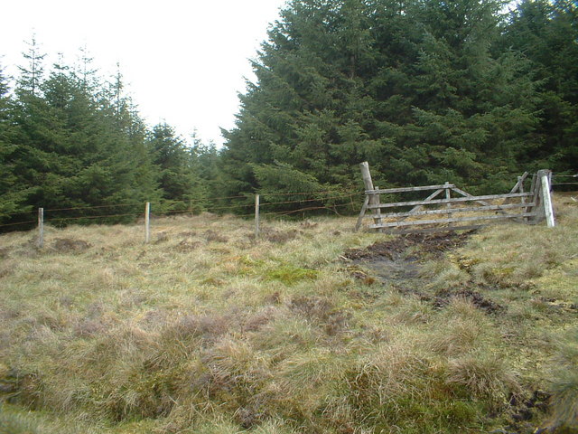
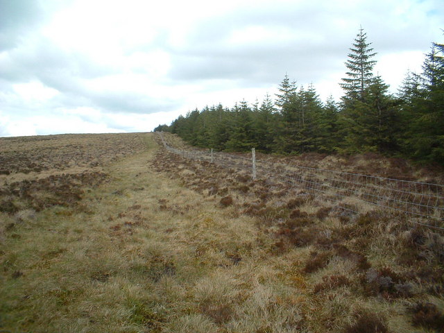
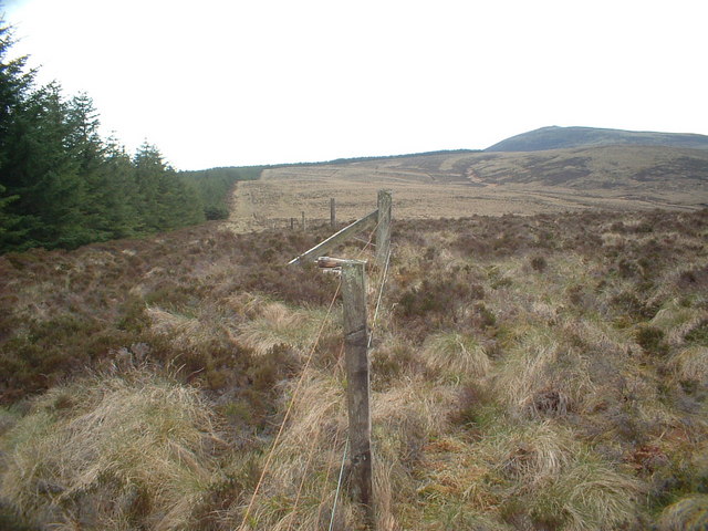
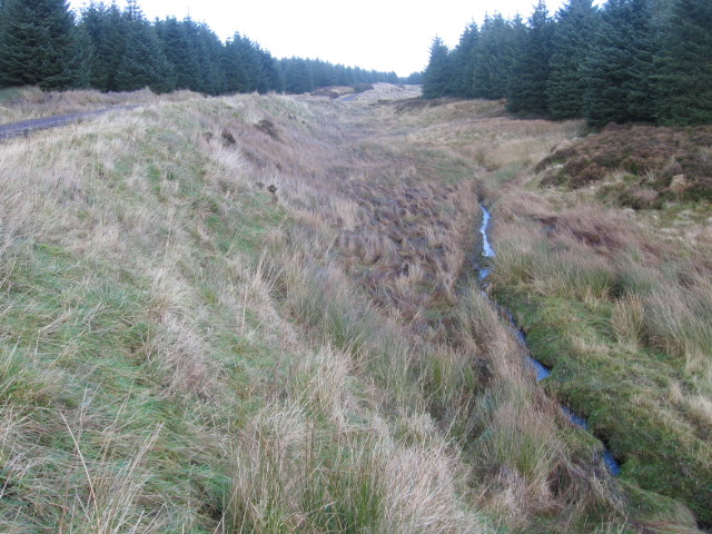
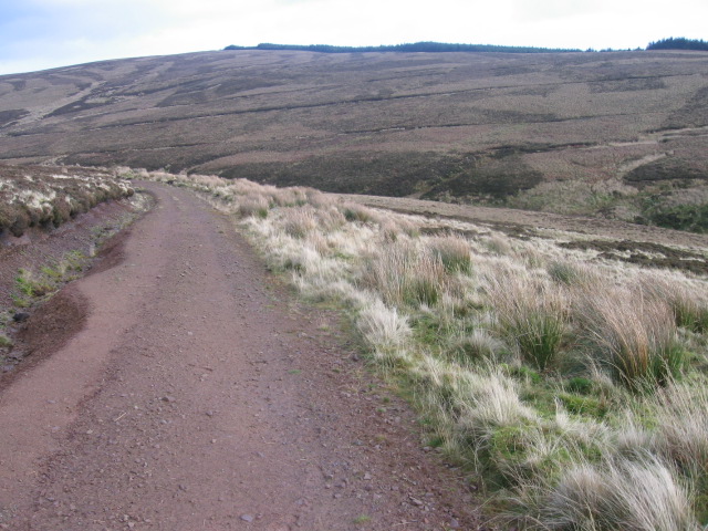
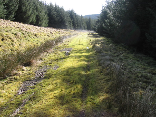
Douglas Rig is known for its picturesque landscape and stunning panoramic views. Its summit offers an excellent vantage point to observe the surrounding countryside, with expansive vistas stretching across Lanarkshire and beyond. On clear days, it is even possible to see as far as the Tinto Hill, Pentland Hills, and the Campsie Fells.
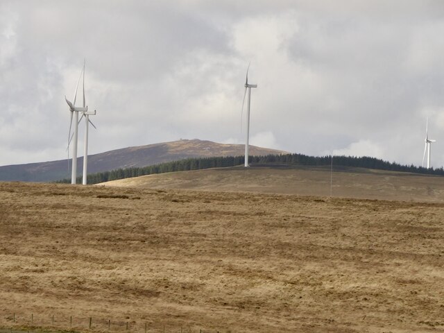
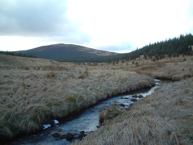
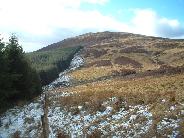
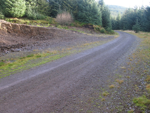
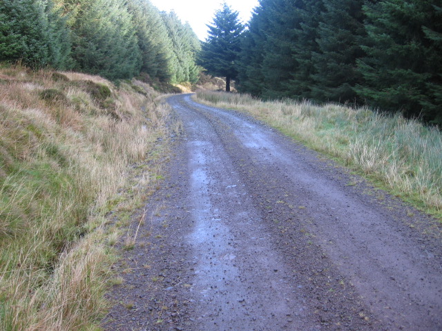
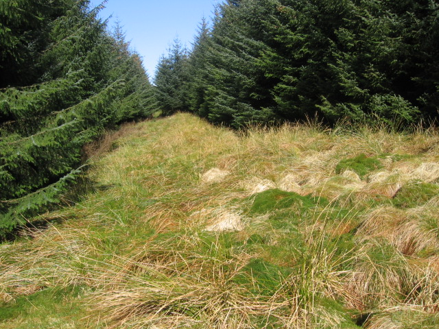
The hill is easily accessible, with a well-defined path leading to the summit. Hikers and outdoor enthusiasts often venture to Douglas Rig to enjoy its natural beauty and to partake in activities such as hillwalking, birdwatching, and photography. The area is particularly popular during the spring and summer months when the hillsides come alive with colorful wildflowers.
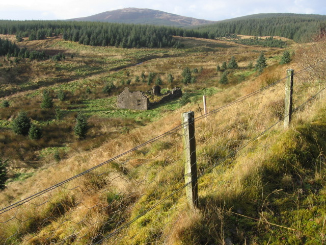
Douglas Rig is also steeped in history. It was once part of the hunting ground for the Douglas family, one of Scotland's most prominent noble families. The hill's name, "Rig," is derived from the Scots word for a ridge, emphasizing its distinct topographical feature.
Overall, Douglas Rig offers visitors and locals alike the opportunity to experience the beauty of Lanarkshire's countryside. Its combination of natural splendor, recreational activities, and historical significance make it a cherished destination for those seeking a peaceful escape in the heart of Scotland.
If you have any feedback on the listing, please let us know in the comments section below.
Douglas Rig Images
Images are sourced within 2km of 55.501636/-3.9856186 or Grid Reference NS7424. Thanks to Geograph Open Source API. All images are credited.
Douglas Rig is located at Grid Ref: NS7424 (Lat: 55.501636, Lng: -3.9856186)
Unitary Authority: South Lanarkshire
Police Authority: Lanarkshire
What 3 Words
///dine.tried.seeing. Near Muirkirk, East Ayrshire
Nearby Locations
Related Wikis

Glenbuck railway station
Glenbuck railway station served the village of Glenbuck in Ayrshire, Scotland. == Opening == The Caledonian Railway extended a line from Douglas to Muirkirk...

Glenbuck
Glenbuck (Scottish Gaelic: Gleann Buic) is a small, remote village in East Ayrshire. It is nestled in the hills 3 miles (5 km) east of Muirkirk, East Ayrshire...
Muirkirk railway station
Muirkirk railway station was a railway station serving the village of Muirkirk, East Ayrshire, Scotland. == First station == The station opened on 9 August...
Inches railway station
Inches railway station co-served the hamlet of Glespin, South Lanarkshire, Scotland, from 1874 to 1964 on the Muirkirk Branch. == History == The station...
Fish Bed Formation
The Fish Bed Formation is a geologic formation in Scotland, United Kingdom. The fluvial to lacustrine sandstones, shales, siltstones and conglomerates...

Muirkirk
Muirkirk (Scottish Gaelic: Eaglais an t-Slèibh) is a small village in East Ayrshire, southwest Scotland. It is located on the north bank of the River Ayr...
Garpel Water
The Garpel Water is a river near Muirkirk, Scotland. It flows under the Sanquhar bridge and Tibbie's Brig. It flows into the River Ayr.
Glespin
Glespin is a hamlet in South Lanarkshire, Scotland. It is on the A70, east of Muirkirk and west of Douglas. == Notable people == Footballer Bobby Crawford...
Have you been to Douglas Rig?
Leave your review of Douglas Rig below (or comments, questions and feedback).