An Dùn

Hill, Mountain in Perthshire

Scotland

An Dùn

Glen Lednock - Approaching the end of the public road near Invergeldie Looking north-westward.
Glen Lednock - Approaching the end of the public road near Invergeldie Credit: Peter Wood

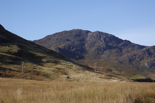
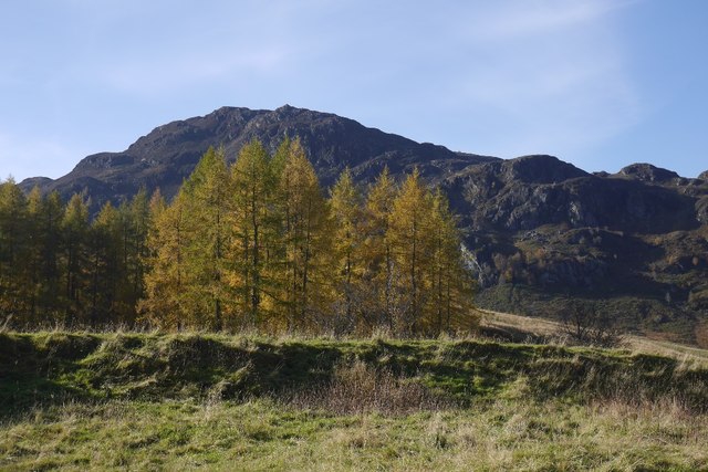
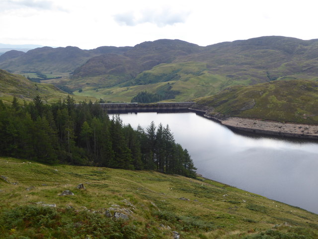
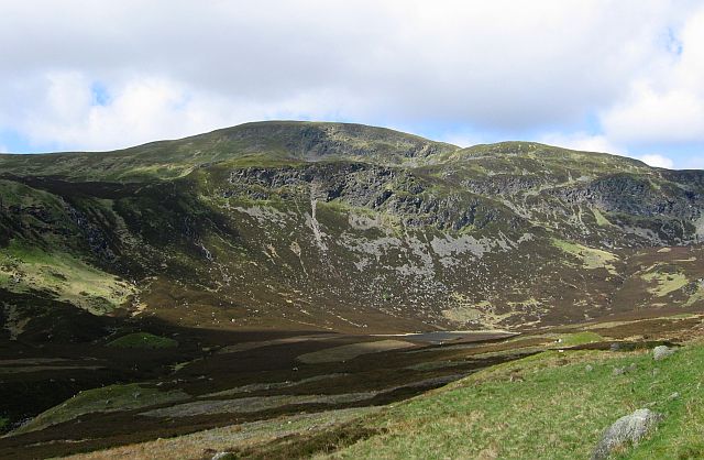
An Dùn, also known as The Hill, is a prominent landmark located in Perthshire, Scotland. Rising to a height of approximately 827 meters (2,713 feet), An Dùn is considered one of the tallest mountains in the region. It is situated in the southern part of the Grampian Mountains, offering breathtaking panoramic views of the surrounding landscape.

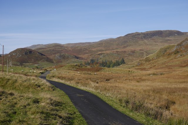
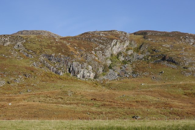
This majestic mountain is a popular destination among hikers and outdoor enthusiasts due to its challenging yet rewarding trails. The ascent to the summit can be quite strenuous, but the mesmerizing vistas and sense of accomplishment make it worthwhile. The well-marked paths guide visitors through a diverse terrain encompassing rocky slopes, heather-covered moorland, and stunning glens.

At the top of An Dùn, visitors are rewarded with an awe-inspiring sight. On clear days, one can see the vast expanse of Perthshire, including the picturesque town of Pitlochry and the flowing River Tay. The mountain is also home to a wide array of flora and fauna, with various species of birds, deer, and small mammals often spotted along the trails.

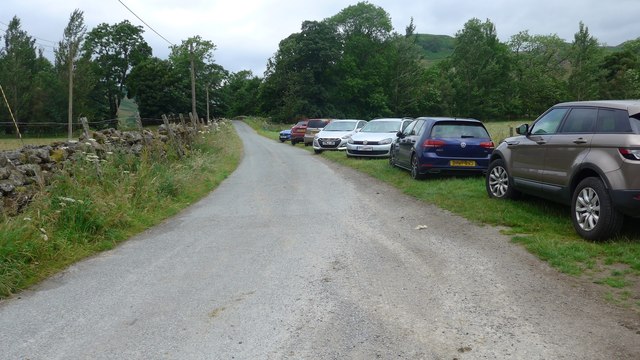
Access to An Dùn is relatively straightforward, with nearby car parks and public transportation routes making it easily reachable. However, it is important for hikers to come prepared with appropriate gear and clothing due to the unpredictable Scottish weather, which can change rapidly at higher altitudes.

An Dùn offers an unforgettable outdoor experience, combining the thrill of a challenging hike with the beauty of Scotland's natural landscapes. Whether one is an experienced mountaineer or an adventurous beginner, this majestic mountain is sure to leave a lasting impression on all who venture to its summit.

If you have any feedback on the listing, please let us know in the comments section below.
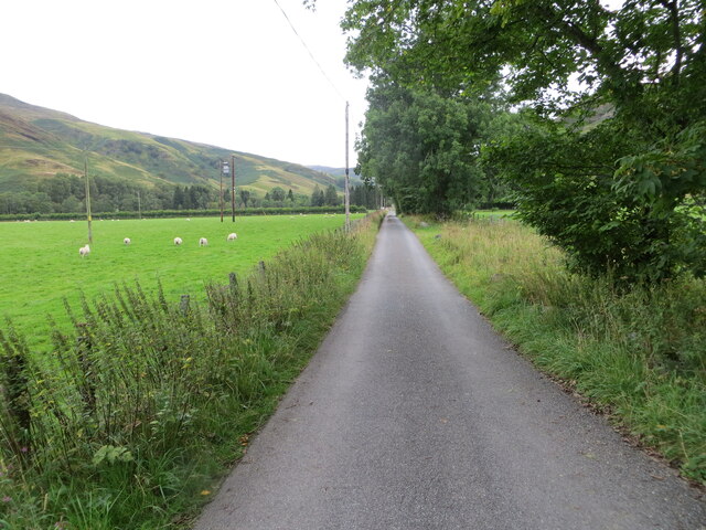
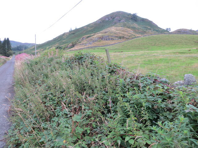
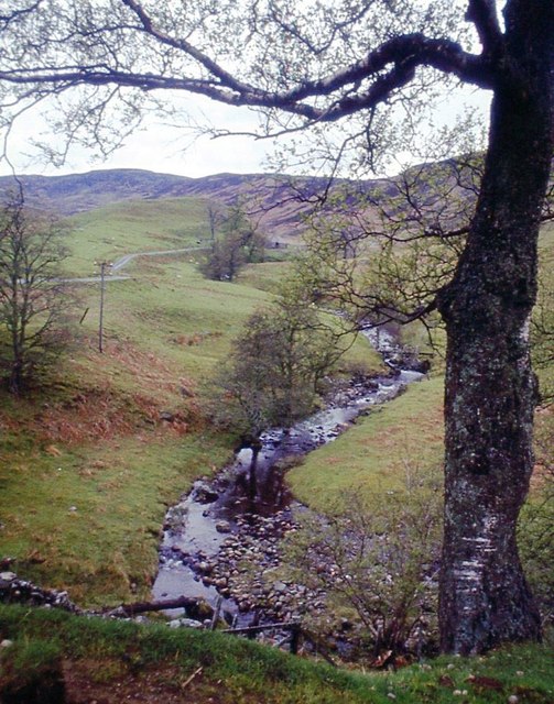
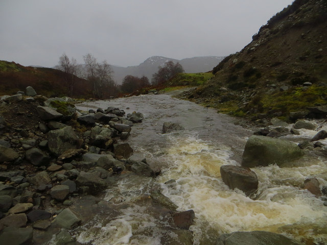
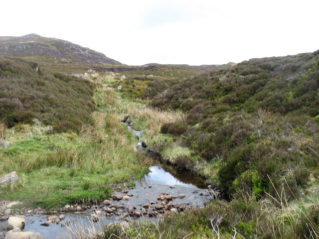
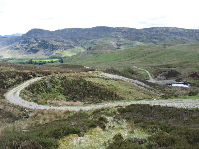
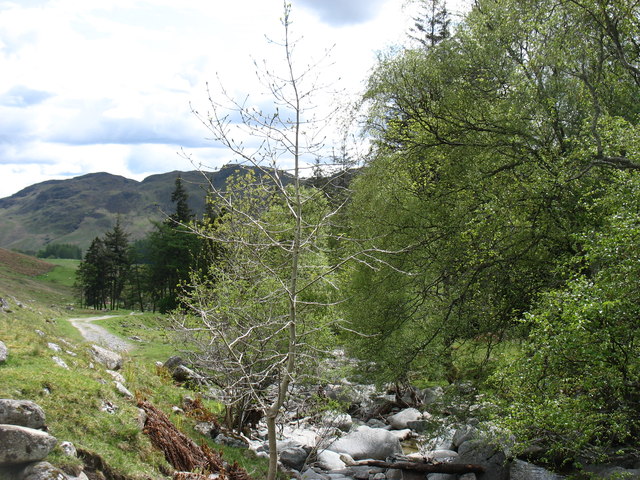
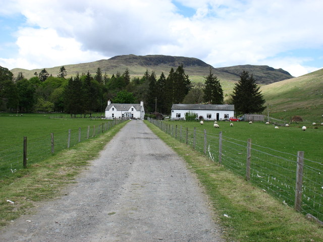
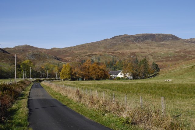
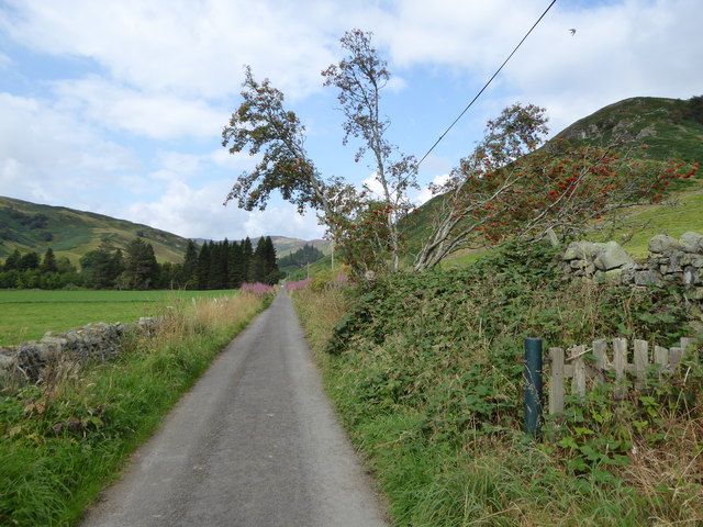
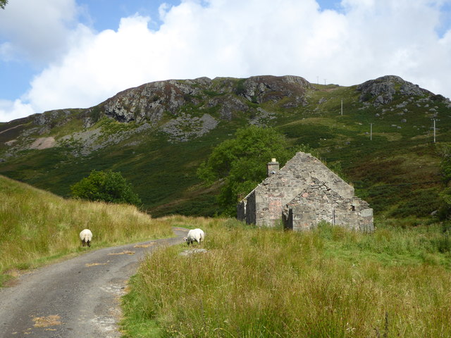
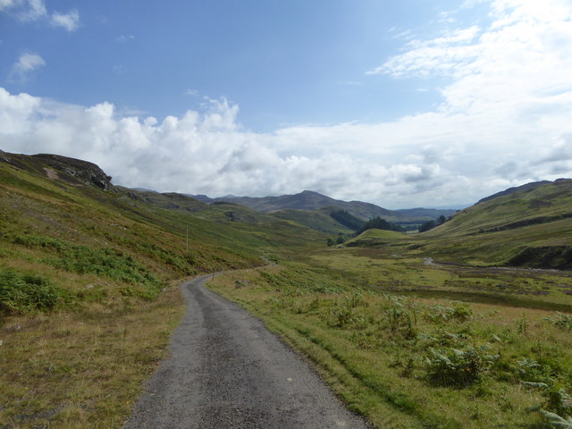
An Dùn Images

Images are sourced within 2km of 56.426214/-4.0494647 or Grid Reference NN7327. Thanks to Geograph Open Source API. All images are credited.

Glen Lednock - Approaching the end of the public road near Invergeldie Looking north-westward.
Glen Lednock - Approaching the end of the public road near Invergeldie
Looking north-westward.
Glen Lednock - An Dùn at Invergeldie Looking north-westward from the Glen road
Glen Lednock - An Dùn at Invergeldie
Looking north-westward from the Glen road
Allt Mathaig at Glenmaik
Invergeldie Burn in Spate Invergeldie Burn in spate at the ford just below the dam.  This was during the heavy rains of Storm Desmond, December 2015.  Crossing the burn was rather interesting.
Invergeldie Burn in Spate
Invergeldie Burn in spate at the ford just below the dam. This was during the heavy rains of Storm Desmond, December 2015. Crossing the burn was rather interesting.
A minor tributary of the Invergeldie Burn Meall Reamhar in the background.
A minor tributary of the Invergeldie Burn
Meall Reamhar in the background.
Descending to the Invergeldie Burn from Ben Chonzie The small dam diverts most of the Burn into the Glen Lednock Reservoir.
Descending to the Invergeldie Burn from Ben Chonzie
The small dam diverts most of the Burn into the Glen Lednock Reservoir.
The Invergeldie Burn Flowing down to the River Lednock. There is not much water today: most of what there is has been diverted higher up into Loch Lednock Reservoir.
The Invergeldie Burn
Flowing down to the River Lednock. There is not much water today: most of what there is has been diverted higher up into Loch Lednock Reservoir.
Coishavachan cottages The track to Ben Chonzie passes in front of the right-hand cottage, and then cuts back behind the trees to climb, initially, beside the Invergeldie Burn.
Coishavachan cottages
The track to Ben Chonzie passes in front of the right-hand cottage, and then cuts back behind the trees to climb, initially, beside the Invergeldie Burn.
Balnacoul Castle Home of some climbing crags in Glen Lednock.
Balnacoul Castle
Home of some climbing crags in Glen Lednock.
Larches in Glen Lednock Against a background of the Balnacoul Castle crags.
Larches in Glen Lednock
Against a background of the Balnacoul Castle crags.
Road in Glen Lednock
Crag in Glen Lednock One of many schist crags in the glen.
Crag in Glen Lednock
One of many schist crags in the glen.
Road, Invergeldie Near the end of the public road in Glen Lednock and approaching a popular starting point for Ben Chonzie.
Road, Invergeldie
Near the end of the public road in Glen Lednock and approaching a popular starting point for Ben Chonzie.
Road in Glen Lednock The public road ends at Invergeldie but continues as a private road up to the Loch Lednock dam.  The small hill of An Dun ('the fort') is visible on the right.
Road in Glen Lednock
The public road ends at Invergeldie but continues as a private road up to the Loch Lednock dam. The small hill of An Dun ('the fort') is visible on the right.
Ruins at Glenmaik An abandoned cottage by the Allt Mathaig (Maik Burn), with Creag nan Eun ('crag of the birds') in the background.
Ruins at Glenmaik
An abandoned cottage by the Allt Mathaig (Maik Burn), with Creag nan Eun ('crag of the birds') in the background.
Hydro track, Gleann Mathaig A track into the upper reaches of the glen, associated with the post-war hydro electric scheme and the nearby dam and reservoir at Loch Lednock.
Hydro track, Gleann Mathaig
A track into the upper reaches of the glen, associated with the post-war hydro electric scheme and the nearby dam and reservoir at Loch Lednock.
Hillside above Bovaine The farm steading of Bovaine, which lay just below this small wood, was submerged in the late 1950s when the hydro-electric dam was built and the upper glen of the River Lednock was flooded to create the reservoir.
Hillside above Bovaine
The farm steading of Bovaine, which lay just below this small wood, was submerged in the late 1950s when the hydro-electric dam was built and the upper glen of the River Lednock was flooded to create the reservoir.
Parking at Coishavachan The original little car park (see <a href="https://www.geograph.org.uk/photo/3043768">NN7427 : Car Park at Coishavachan</a>) is no longer adequate for the car parking demand here, so an extension has been created.  Reason - this is the start for a popular Munro, Ben Chonzie.
Parking at Coishavachan
The original little car park (see NN7427 : Car Park at Coishavachan) is no longer adequate for the car parking demand here, so an extension has been created. Reason - this is the start for a popular Munro, Ben Chonzie.
Show me another place!

An Dùn is located at Grid Ref: NN7327 (Lat: 56.426214, Lng: -4.0494647)

Unitary Authority: Perth and Kinross

Police Authority: Tayside

What 3 Words

///songbirds.sushi.friend. Near Comrie, Perth & Kinross

Nearby Locations

An Dùn

Related Wikis

Central Lowlands

The Central Lowlands, sometimes called the Midland Valley or Central Valley, is a geologically defined area of relatively low-lying land in southern Scotland...

Dunira, Perthshire

Dunira (Scottish Gaelic: Dùn Iar) is an estate of about 350 hectares (860 acres) in Perthshire, Scotland, 3 miles (5 kilometres) northwest of Comrie and...

Ben Chonzie

Ben Chonzie or Ben-y-Hone (Scottish Gaelic: Beinn a' Chomhainn, 'mountain of the narrowness', or possibly from Beinn Chòinnich, 'mossy mountain') is a...

Dalchonzie Halt railway station

Dalchonzie Halt railway station, Dalchonzie Platform railway station or Dalchonzie Siding in the Parish of Comrie, Perth and Kinross, Scotland was an intermediate...

St Fillans railway station

St Fillans railway station served the village of St Fillans, in the historical county of Perthshire, Scotland, from 1901 to 1951 on the Lochearnhead, St...

Dalchonzie

Dalchonzie is a place by the river Earn in Perthshire. Buildings there include a country house, a hydro-electric power station and farms. From 1903 to...

Dundurn, Scotland

Dundurn is the site of a Pictish hillfort in what is now Strathearn in Perth and Kinross, Scotland. The fort was situated on a hill with the River Earn...

St Fillans

St Fillans is a village in Perthshire in the central highlands of Scotland, in the council area of Perth and Kinross. The village lies at the eastern end...

Nearby Amenities

Located within 500m of 56.426214,-4.0494647
Invergeldie
Name Gd: Inbhir Gheallaidh
Place: hamlet
Source: npe
Lat/Long: 56.4239865/-4.0436222
Power: pole
Lat/Long: 56.4237225/-4.0439584
The data included in this document is from www.openstreetmap.org. The data is made available under ODbL.

Have you been to An Dùn?

Leave your review of An Dùn below (or comments, questions and feedback).