Blastridge Hill

Hill, Mountain in Devon North Devon

England

Blastridge Hill

Waterhouse Copse The Southern end of a wooded tributary of the Yeo.
Waterhouse Copse Credit: Ivan Taylor

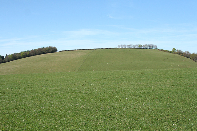
Blastridge Hill is a prominent geographical feature located in the county of Devon, England. Situated in the southwestern part of the county, it is classified as a hill rather than a mountain due to its elevation. Blastridge Hill is part of the Dartmoor National Park, which is renowned for its rugged landscape and scenic beauty.

With an elevation of approximately 400 meters (1,312 feet), Blastridge Hill offers stunning panoramic views of the surrounding countryside. Its distinctive shape and rocky outcrops make it a popular destination for hikers and nature enthusiasts alike. The hill is known for its diverse flora and fauna, with heather, gorse, and various grasses covering its slopes.

The area surrounding Blastridge Hill is rich in history, with evidence of human activity dating back to prehistoric times. Archaeological sites, such as ancient stone circles, burial mounds, and settlements, can be found in the vicinity. These remnants provide valuable insights into the early inhabitants of the region.

Visitors to Blastridge Hill can explore numerous walking trails that traverse the area, allowing them to fully immerse themselves in the natural beauty of the hill and its surroundings. The hill is also a popular spot for birdwatching, with a variety of avian species inhabiting the area, including buzzards, kestrels, and skylarks.

Overall, Blastridge Hill is a picturesque and historically significant landmark in Devon, offering visitors the opportunity to experience the region's natural beauty and delve into its rich cultural heritage.

If you have any feedback on the listing, please let us know in the comments section below.

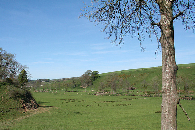
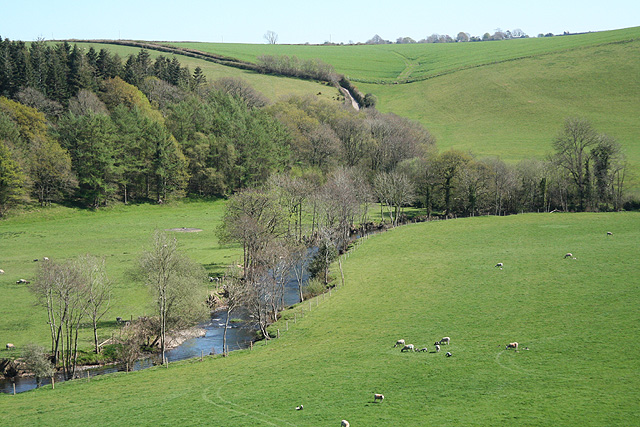
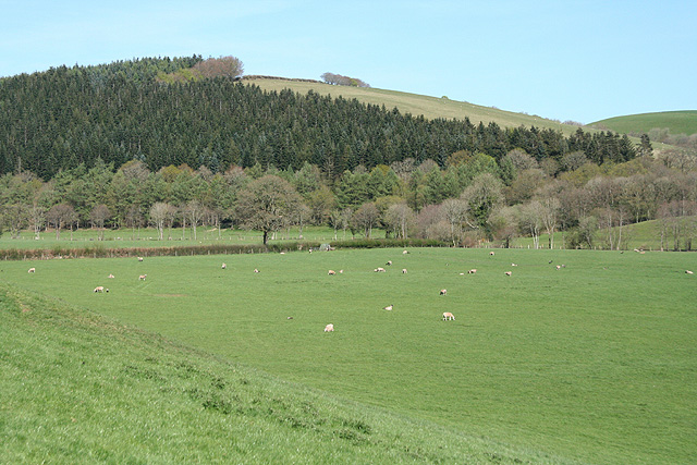
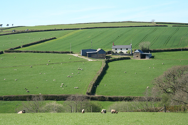
Blastridge Hill Images

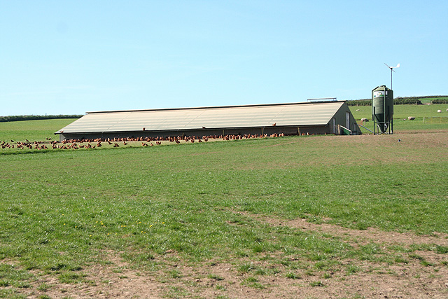
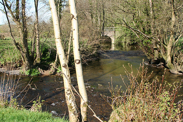
Images are sourced within 2km of 51.004003/-3.8014628 or Grid Reference SS7324. Thanks to Geograph Open Source API. All images are credited.

Waterhouse Copse The Southern end of a wooded tributary of the Yeo.
Waterhouse Copse
The Southern end of a wooded tributary of the Yeo.
The Mill Inn at Bish Mill
Beacon at Silcombe Cross
Bishop’s Nympton: Bish Mill A disused watermill which was once powered by a leat from the river Yeo. Looking north. The Mill Inn is named after this building
Bishop’s Nympton: Bish Mill
A disused watermill which was once powered by a leat from the river Yeo. Looking north. The Mill Inn is named after this building
Bishop’s Nympton: On Gorton Hill The eastern link from South Molton to the North Devon Link Road, Tiverton and the M5 Motorway. Looking east
Bishop’s Nympton: On Gorton Hill
The eastern link from South Molton to the North Devon Link Road, Tiverton and the M5 Motorway. Looking east
Bishop’s Nympton: towards South Molton Looking west near Windwhistle Farm
Bishop’s Nympton: towards South Molton
Looking west near Windwhistle Farm
Bishop’s Nympton: towards Windwhistle Farm Seen from Mole bridge looking east-north-east
Bishop’s Nympton: towards Windwhistle Farm
Seen from Mole bridge looking east-north-east
South Molton: Mole valley Near the entrance to Great Hele Barton, looking north-north-east, up the valley
South Molton: Mole valley
Near the entrance to Great Hele Barton, looking north-north-east, up the valley
George Nympton: river Mole Looking south east by the entrance to Little Hele and a little below the confluence of the Mole and the Yeo
George Nympton: river Mole
Looking south east by the entrance to Little Hele and a little below the confluence of the Mole and the Yeo
George Nympton: Mole valley Looking north east across the Mole flood plain towards Blastridge Plantation, which stands beyond the square
George Nympton: Mole valley
Looking north east across the Mole flood plain towards Blastridge Plantation, which stands beyond the square
Bishop’s Nympton: towards Barton A small farm west of the village
Bishop’s Nympton: towards Barton
A small farm west of the village
Bishop’s Nympton: near Westwood A poultry farm
Bishop’s Nympton: near Westwood
A poultry farm
Bishop’s Nympton: Crosse A Devon longhouse by the back lane from Bishop’s Nympton to South Molton. Looking north east
Bishop’s Nympton: Crosse
A Devon longhouse by the back lane from Bishop’s Nympton to South Molton. Looking north east
Bishop’s Nympton: towards Blastridge Hill View from Radley Cross looking north. The hill is beyond the square
Bishop’s Nympton: towards Blastridge Hill
View from Radley Cross looking north. The hill is beyond the square
George Nympton: the Mole and the Yeo Confluence of two rivers by a public footpath. Looking north east to the lowest bridge on the Yeo
George Nympton: the Mole and the Yeo
Confluence of two rivers by a public footpath. Looking north east to the lowest bridge on the Yeo
Bishop’s Nympton: decayed barn Looking north-north-west by the back lane from Bishop's Nympton to South Molton
Bishop’s Nympton: decayed barn
Looking north-north-west by the back lane from Bishop's Nympton to South Molton
Slough House This no through road heading south-east has come to an end with Slough House on the left. The cattle grid prevents livestock getting on the road.
Slough House
This no through road heading south-east has come to an end with Slough House on the left. The cattle grid prevents livestock getting on the road.
Ewe posing near Slough in Devon She was very helpful in standing in a position with Bishop's Nympton Church in the background. This was taken from the road coming from Slough heading north-east.
Ewe posing near Slough in Devon
She was very helpful in standing in a position with Bishop's Nympton Church in the background. This was taken from the road coming from Slough heading north-east.
Show me another place!

Blastridge Hill is located at Grid Ref: SS7324 (Lat: 51.004003, Lng: -3.8014628)

Administrative County: Devon

District: North Devon

Police Authority: Devon and Cornwall

What 3 Words

///pylons.confident.pixel. Near South Molton, Devon

Related Wikis

Bishop's Nympton

Bishop's Nympton is a village and civil parish in the North Devon district of Devon, England, about three miles east of South Molton. According to the...

Queen's Nympton

Queen's Nympton or Queensnympton is a small civil parish in the North Devon district of Devon, England. According to the 2001 census it had a population...

South Molton Community College

South Molton Community College (known to students and teachers as SMCC) is a coeducational foundation secondary school located in South Molton in the English...

Mariansleigh

Mariansleigh is a village and civil parish in Devon, England. In 2021 the parish had a population of 170. == External links == GENUKI Mariansleigh Page

South Molton

South Molton is a town and civil parish in Devon, England. It is part of the North Devon local government district. The town is on the River Mole. South...

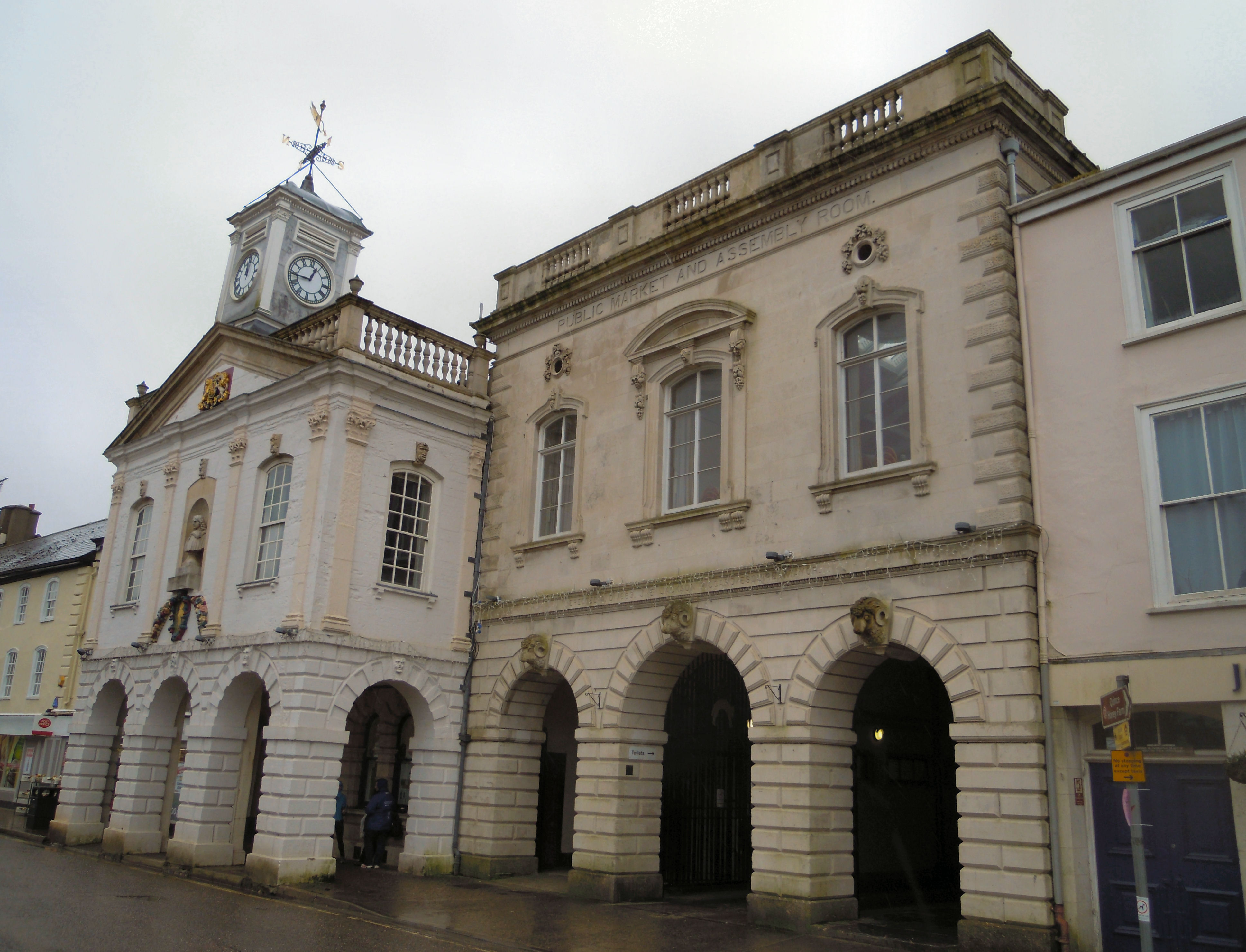
Pannier Market, South Molton

South Molton Pannier Market is the pannier market for the town of South Molton in Devon, England located behind the town's Grade I listed Guildhall which...

Guildhall, South Molton

The Guildhall on Broad Street in South Molton in Devon was built between 1739 and 1743 and has been a Grade I listed building on the Register of Historic...

Alswear

Alswear is a village in Devon, England, approximately 25 miles (40 km) northwest of Exeter. == References == == External links == Media related to Alswear...

Have you been to Blastridge Hill?

Leave your review of Blastridge Hill below (or comments, questions and feedback).