Aikey Hill
Hill, Mountain in Kirkcudbrightshire
Scotland
Aikey Hill
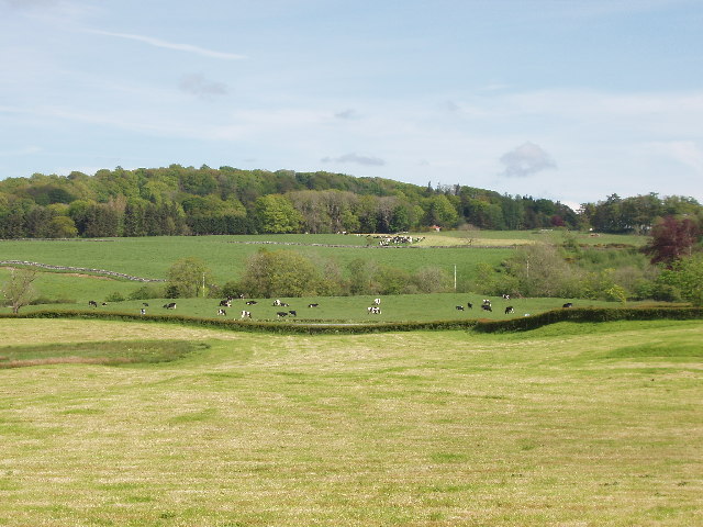
Aikey Hill is a prominent hill located in the region of Kirkcudbrightshire in Scotland. Standing at an impressive height of approximately 223 meters (732 feet), it offers breathtaking views of the surrounding countryside. The hill is situated near the village of Gatehouse of Fleet, about 5 kilometers (3 miles) to the northeast.
Aikey Hill is characterized by its steep slopes, which are covered in lush greenery, making it a popular spot for hikers and nature enthusiasts. The terrain is mainly composed of grassy slopes, with scattered rock formations adding to its natural beauty.
At the summit of Aikey Hill, visitors can enjoy panoramic vistas of the Galloway Hills, the Solway Firth, and the picturesque landscape of Kirkcudbrightshire. On clear days, it is even possible to spot the distant peaks of the Lake District in England.
The hill is easily accessible by foot, with several well-marked trails leading to the top. The most common starting point is from the village of Gatehouse of Fleet, where visitors can follow a path that gradually ascends the hill. Along the way, they may encounter diverse wildlife such as rabbits, deer, and a variety of bird species.
Aikey Hill offers a serene and tranquil environment, allowing visitors to immerse themselves in the beauty of nature. Whether it is for a leisurely stroll or a challenging hike, this hill provides a rewarding experience for all who venture to its summit.
If you have any feedback on the listing, please let us know in the comments section below.
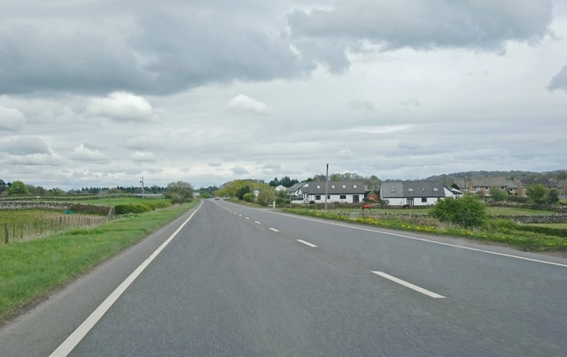
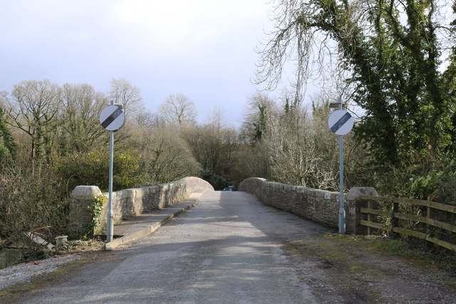
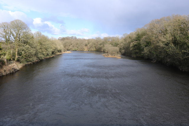
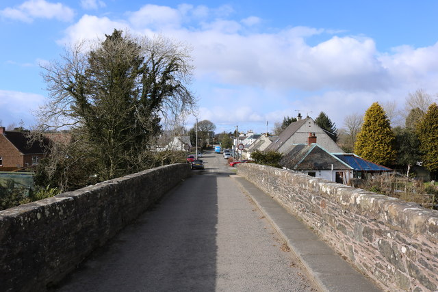
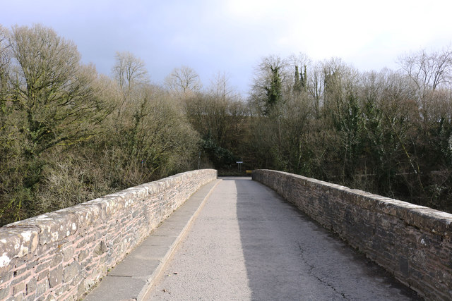
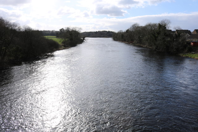
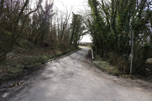
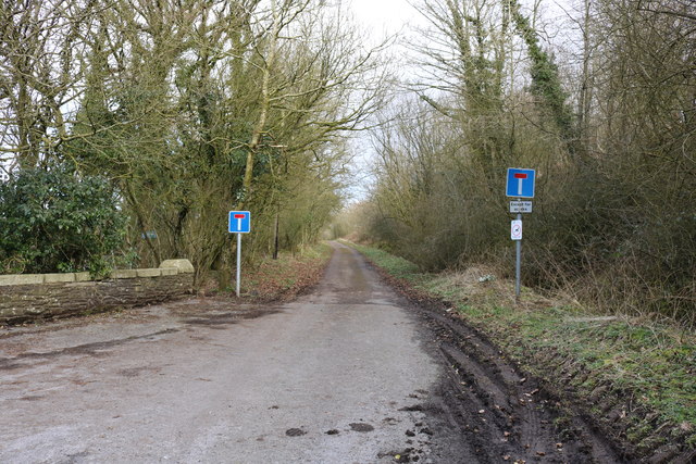
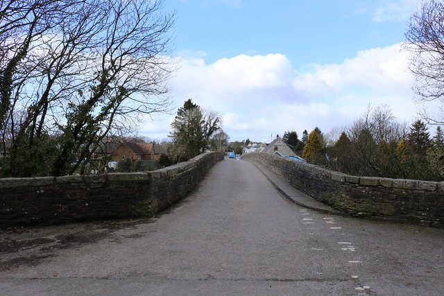
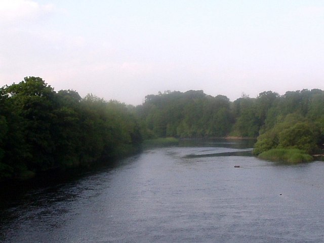
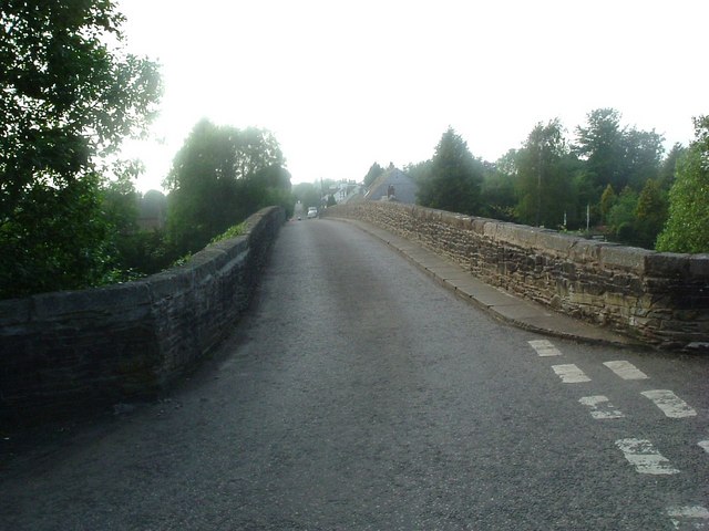
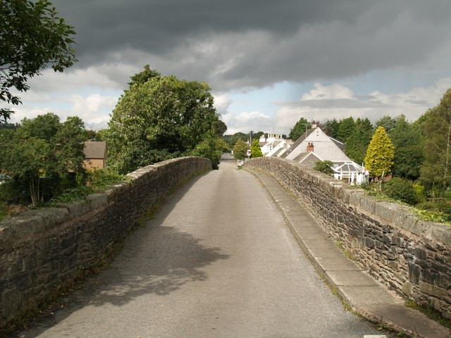
Aikey Hill Images
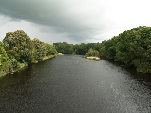
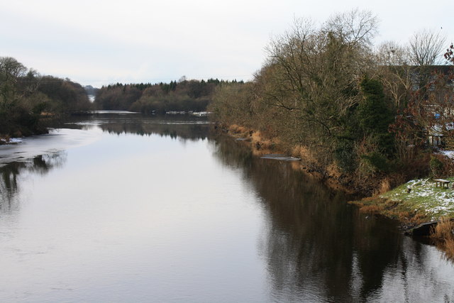
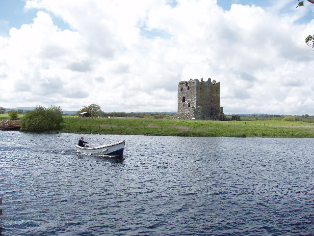
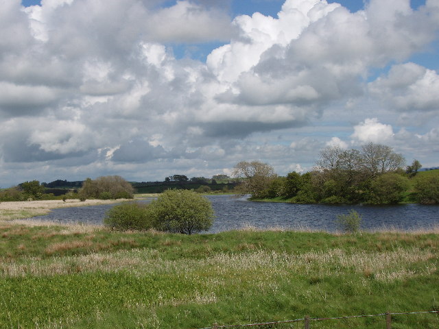
Images are sourced within 2km of 54.932352/-3.9819064 or Grid Reference NX7361. Thanks to Geograph Open Source API. All images are credited.
Aikey Hill is located at Grid Ref: NX7361 (Lat: 54.932352, Lng: -3.9819064)
Unitary Authority: Dumfries and Galloway
Police Authority: Dumfries and Galloway
What 3 Words
///expiring.verbs.dribble. Near Castle Douglas, Dumfries & Galloway
Nearby Locations
Related Wikis

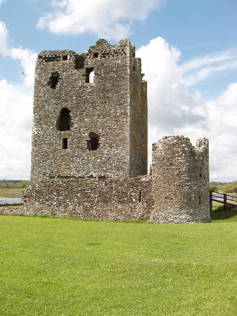
Threave Castle
Threave Castle is situated on an island in the River Dee, 2.5 kilometres (1.6 mi) west of Castle Douglas in the historical county of Kirkcudbrightshire...

Bridge of Dee railway station
Bridge of Dee railway station served the settlement of Bridge of Dee, Dumfries and Galloway, Scotland from 1864 to 1949 on the Kirkcudbright Railway....

Bridge of Dee, Galloway
Bridge of Dee, Galloway is a settlement on the River Dee, Galloway. It lies on the A75 just west of Castle Douglas, and north-east of Kirkcudbright. The...

Threave Gardens
Threave Garden and Estate is a series of gardens owned and managed by the National Trust for Scotland, located near Castle Douglas in the historical county...

Threave Rovers F.C.
Threave Rovers Football Club are a football club from Castle Douglas in Dumfries and Galloway, Scotland. Formed in October 1953, the club plays its home...

Glenlochar
Glenlochar (Gd: Gleann Lochair) is a hamlet on the western bank of the River Dee in the parish of Balmaghie in the historical county of Kirkcudbrightshire...

Carlingwark Loch
Carlingwark Loch is a small freshwater loch in the historical county of Kirkcudbrightshire, Dumfries and Galloway, Scotland lying just south of Castle...
Abbey Yard
Abbey Yard is a location in Dumfries and Galloway, Scotland. Abbey Yard is near Glenlochar in the historical county of Kirkcudbrightshire in the Dumfries...
Nearby Amenities
Located within 500m of 54.932352,-3.9819064Have you been to Aikey Hill?
Leave your review of Aikey Hill below (or comments, questions and feedback).