White Hill
Hill, Mountain in Lanarkshire
Scotland
White Hill
White Hill is a prominent hill located in the county of Lanarkshire, Scotland. Situated in the picturesque countryside, it is part of the Southern Uplands range, which stretches across the southern regions of Scotland. Rising to an elevation of approximately 1,155 feet (352 meters), it offers breathtaking panoramic views of the surrounding landscape.
The hill is composed mainly of sedimentary rocks, including sandstone and shale, which were formed millions of years ago. Its slopes are covered in a mix of grasses, heather, and scattered shrubs, creating a diverse and vibrant ecosystem. White Hill is also home to a variety of wildlife, including birds of prey such as buzzards and kestrels, as well as small mammals like rabbits and voles.
Due to its accessibility and scenic beauty, White Hill is a popular destination for outdoor enthusiasts and nature lovers. Several walking trails and footpaths traverse its slopes, allowing visitors to explore the hill at their own pace. Additionally, the hill provides opportunities for activities such as hiking, birdwatching, and photography.
White Hill holds historical significance as well. It is believed that the hill was used as a lookout point during ancient times, and remnants of an Iron Age fort can still be found on its summit. These archaeological remains provide a glimpse into the hill's past and add to its cultural value.
Overall, White Hill in Lanarkshire is a captivating natural landmark, offering a combination of scenic beauty, recreational opportunities, and historical intrigue.
If you have any feedback on the listing, please let us know in the comments section below.
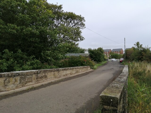
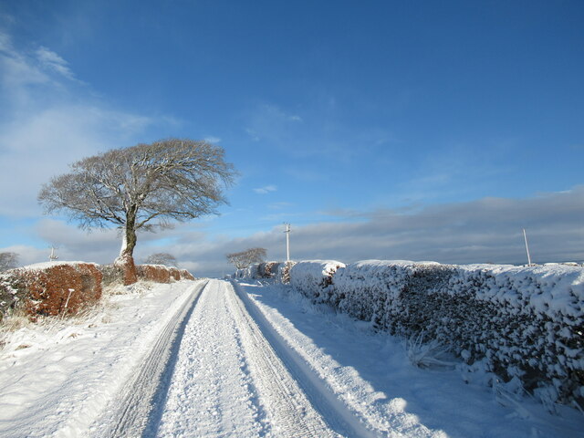
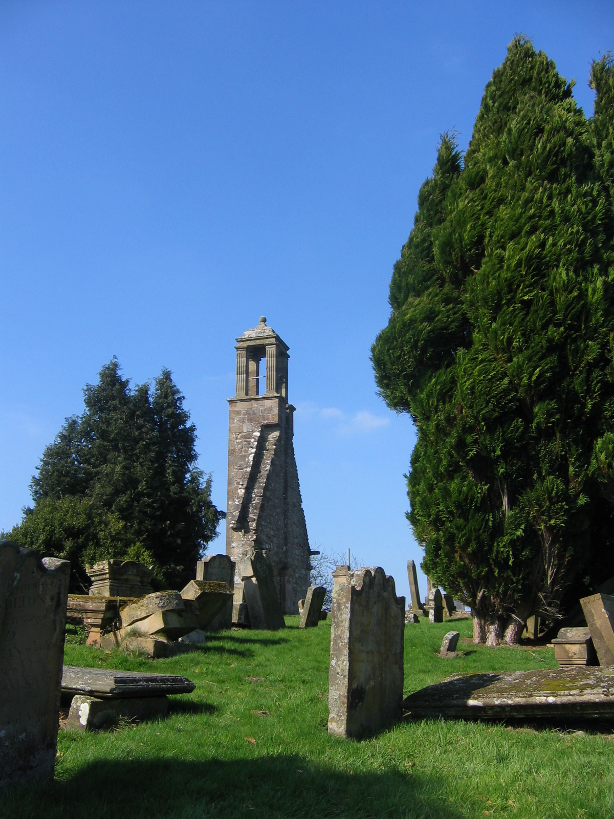
White Hill Images
Images are sourced within 2km of 55.696565/-4.0205393 or Grid Reference NS7346. Thanks to Geograph Open Source API. All images are credited.


White Hill is located at Grid Ref: NS7346 (Lat: 55.696565, Lng: -4.0205393)
Unitary Authority: South Lanarkshire
Police Authority: Lanarkshire
What 3 Words
///lunge.neutron.ropes. Near Stonehouse, South Lanarkshire
Nearby Locations
Related Wikis

Glassford
Glassford (; locally known as The Glesart ) is a small village located 8 kilometres (5 mi) south of Hamilton, and 3 kilometres (2 mi) north-east of Strathaven...
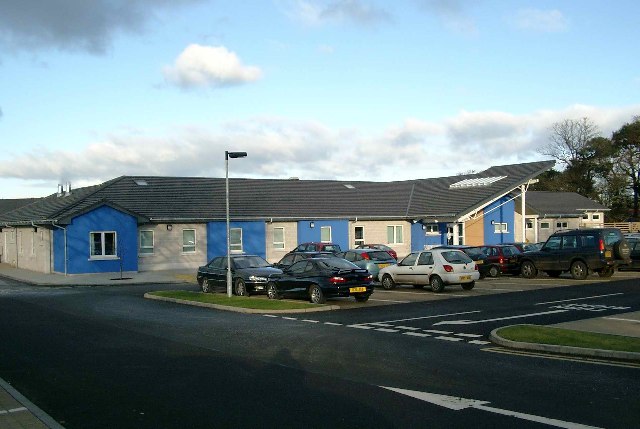
Stonehouse Hospital
Stonehouse Hospital is a health facility in Strathaven Road, Stonehouse, South Lanarkshire, Scotland. It is managed by NHS Lanarkshire. == History == The...

Stonehouse railway station (Lanarkshire)
Stonehouse railway station served the village of Stonehouse, in the historical county of Lanarkshire, Scotland, from 1866 to 1965 on the Lesmahagow Railway...

Glassford railway station
Glassford railway station served the village of Glassford, South Lanarkshire, Scotland, from 1863 to 1953 on the Hamilton and Strathaven Railway. ��2...
Stonehouse, South Lanarkshire
Stonehouse is a rural village in South Lanarkshire, Scotland. It is on Avon Water in an area of natural beauty and historical interest, near to the Clyde...
Royal Albert F.C.
Royal Albert Football Club are a football club, historically based in the town of Larkhall, Scotland and are now playing in the nearby village of Stonehouse...
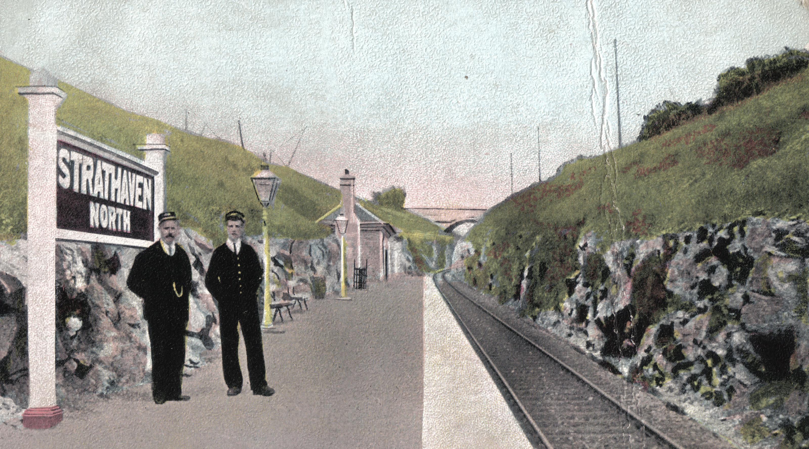
Strathaven North railway station
Strathaven North railway station was a railway station in South Lanarkshire, Scotland. == History == The line itself was primarily built by iron and coal...
Strathaven North (Old) railway station
Strathaven North railway station served Flemington, a neighbourhood of Strathaven in Scotland, from 1863 to 1904 on the Hamilton and Strathaven Railway...
Nearby Amenities
Located within 500m of 55.696565,-4.0205393Have you been to White Hill?
Leave your review of White Hill below (or comments, questions and feedback).