Cnoc Achadh na h-Uaighe

Hill, Mountain in Sutherland

Scotland

Cnoc Achadh na h-Uaighe

Cottage and Moorland Meadow at Sunset, East Langwell, Sutherland Normally a bleak area of the country, but dramatically lit up by the late evening sunshine at 9:30pm to create - just for a few moments - a rich pastoral scene not typical of this part of the world.
Cottage and Moorland Meadow at Sunset, East Langwell, Sutherland Credit: Julia Tryon

Cnoc Achadh na h-Uaighe is a prominent hill located in the county of Sutherland, in the northern part of Scotland. Rising to an elevation of 495 meters (1,624 feet), it is categorized as a Corbett, which refers to a Scottish mountain between 2,500 and 3,000 feet in height.

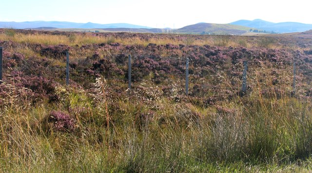
Situated near the village of Lairg, Cnoc Achadh na h-Uaighe offers stunning panoramic views of the surrounding landscape. The hill is characterized by its gently sloping grassy terrain, which makes it relatively accessible for hikers of varying abilities. It is often considered a great introductory hike for those looking to explore the Scottish Highlands.

The ascent to the top of Cnoc Achadh na h-Uaighe is relatively straightforward, with a well-defined path leading to its summit. Along the way, hikers can enjoy the breathtaking scenery, including picturesque lochs, rolling hills, and distant mountain ranges. On clear days, it is even possible to catch a glimpse of the North Sea in the distance.

Once at the summit, hikers are rewarded with uninterrupted views in all directions. The vast expanse of the Scottish Highlands stretches out before them, revealing the untamed beauty of the region. From this vantage point, it is also possible to see other notable landmarks, such as Ben Hope and Ben Klibreck.

Overall, Cnoc Achadh na h-Uaighe is a captivating hill in Sutherland that offers a memorable hiking experience. Its accessibility, combined with the extraordinary scenery, makes it a popular destination for outdoor enthusiasts and nature lovers alike.

If you have any feedback on the listing, please let us know in the comments section below.

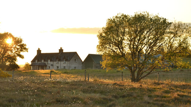
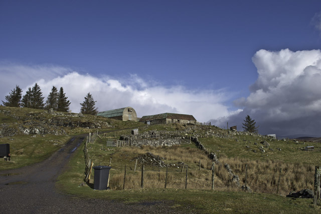
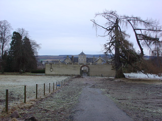
Cnoc Achadh na h-Uaighe Images

Images are sourced within 2km of 58.036357/-4.1702719 or Grid Reference NC7107. Thanks to Geograph Open Source API. All images are credited.

Cottage and Moorland Meadow at Sunset, East Langwell, Sutherland Normally a bleak area of the country, but dramatically lit up by the late evening sunshine at 9:30pm to create - just for a few moments - a rich pastoral scene not typical of this part of the world.
Cottage and Moorland Meadow at Sunset, East Langwell, Sutherland
Normally a bleak area of the country, but dramatically lit up by the late evening sunshine at 9:30pm to create - just for a few moments - a rich pastoral scene not typical of this part of the world.
Rogart to West Langwell Road, Sutherland In the late evening light.
Rogart to West Langwell Road, Sutherland
In the late evening light.
Moorland at Dusk, Achnahuie, Sutherland View facing west across the moors of east Sutherland.  The hills in the distance glowing in late evening sunshine.
Moorland at Dusk, Achnahuie, Sutherland
View facing west across the moors of east Sutherland. The hills in the distance glowing in late evening sunshine.
Ill maintained road Minor road in upper Strath Brora - not in the best of condition
Ill maintained road
Minor road in upper Strath Brora - not in the best of condition
Craggiemore
Craggiemore
Tree in the wild lands Kilbruar windfarm in the distance
Tree in the wild lands
Kilbruar windfarm in the distance
Minor road near East Langwell
Rough grazing at East Langwell
Heather moor in full bloom at East Langwell
Achnahuie, a croft above Rogart
Moorland above Strath Brora
Mile after mile of moor above Rogart Scatterings of Hut Circle remains indicate that this scene was fertile enough to allow a basic living to be scratched from it long ago.
Mile after mile of moor above Rogart
Scatterings of Hut Circle remains indicate that this scene was fertile enough to allow a basic living to be scratched from it long ago.
Rough croft land around East Langwell
Road junction to Upper Morness
The picturesque hollow of Morness
Road near East Langwell
Upper Torbreck Burn, Sutherland
A Horse at Morness. Taken from Morness and looking towards the East and Breackue
A Horse at Morness.
Taken from Morness and looking towards the East and Breackue
Show me another place!

Cnoc Achadh na h-Uaighe is located at Grid Ref: NC7107 (Lat: 58.036357, Lng: -4.1702719)

Unitary Authority: Highland

Police Authority: Highlands and Islands

What 3 Words

///redouble.harsh.slugs. Near Golspie, Highland

Nearby Locations

Cnoc Achadh na h-Uaighe

Related Wikis

East Langwell

East Langwell is a small, remote crofting settlement in Rogart, Sutherland, Scottish Highlands and is in the Scottish council area of Highland.West Langwell...

West Langwell

West Langwell is a small crofting settlement in Rogart, Sutherland is in the Scottish council area of Highland within the Scottish Highlands. The village...

Battle of Alltan-Beath

The Battle of Alltan-Beath, also known as the Battle of Ailtan-Beath, was a Scottish clan battle said to have taken place in 1542 in the village of Knockarthur...

Dalreavoch

Dalreavoch (Scottish Gaelic: An Dail Riabhach) is a small crofting hamlet in Rogart in Sutherland, Scottish Highlands and is in the Scottish council...

Nearby Amenities

Located within 500m of 58.036357,-4.1702719
Achnahuie
Name Gd: Achadh na h-Uaighe
Place: isolated_dwelling
Lat/Long: 58.0345093/-4.1714972
Cnoc Achadh na h-Uaighe
Ele: 220
Natural: peak
Lat/Long: 58.0365141/-4.1698829
The data included in this document is from www.openstreetmap.org. The data is made available under ODbL.

Have you been to Cnoc Achadh na h-Uaighe?

Leave your review of Cnoc Achadh na h-Uaighe below (or comments, questions and feedback).