Bill Hill
Hill, Mountain in Somerset Somerset West and Taunton
England
Bill Hill
Bill Hill is a prominent landmark located in Somerset, a county in South West England. It is a notable hill and mountain with an elevation of approximately 384 meters (1,260 feet) above sea level. The hill is located near the village of Billington and is a popular destination for hikers, mountaineers, and nature enthusiasts.
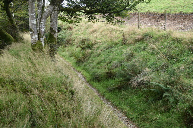
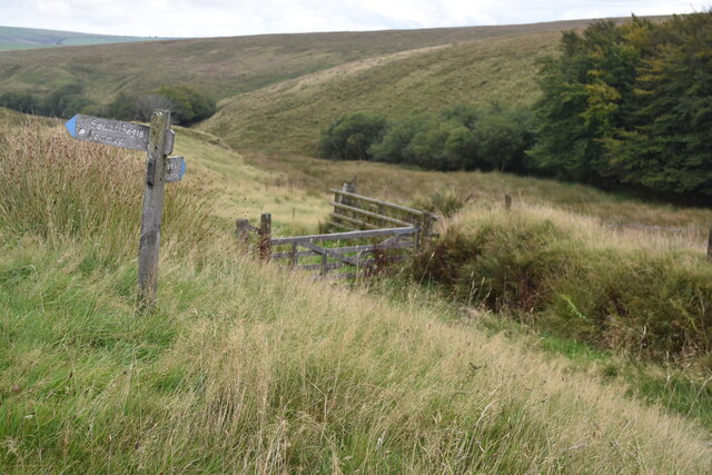
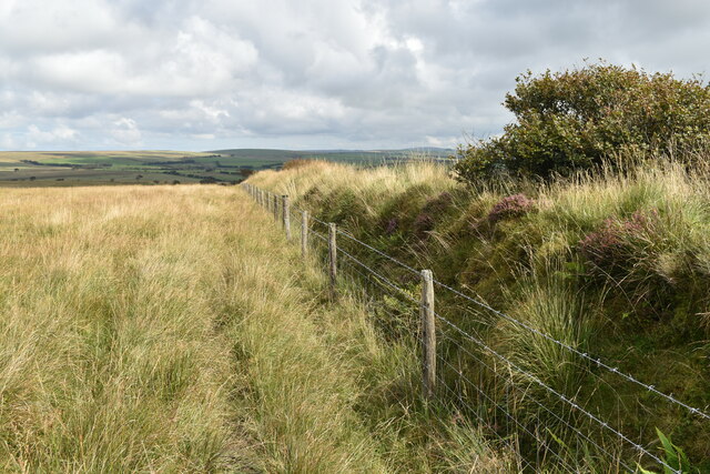
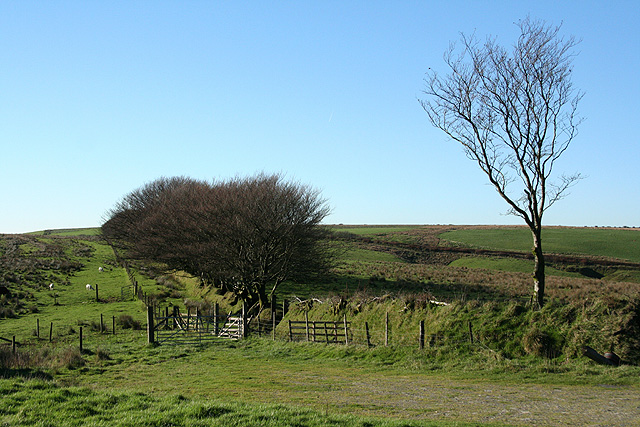
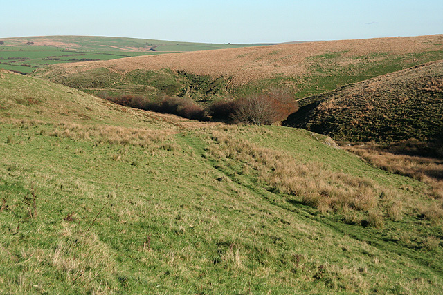
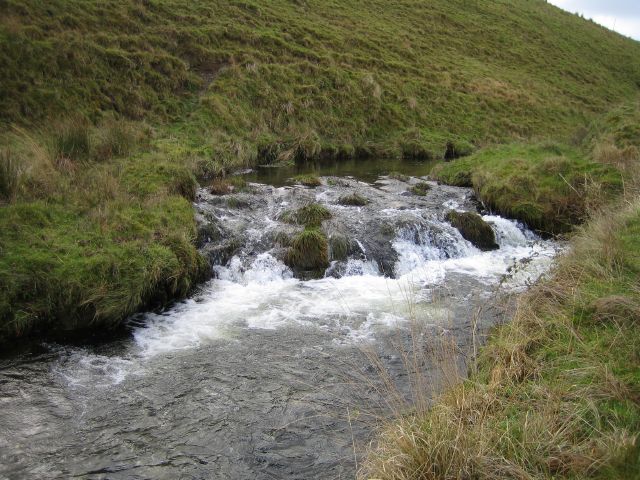
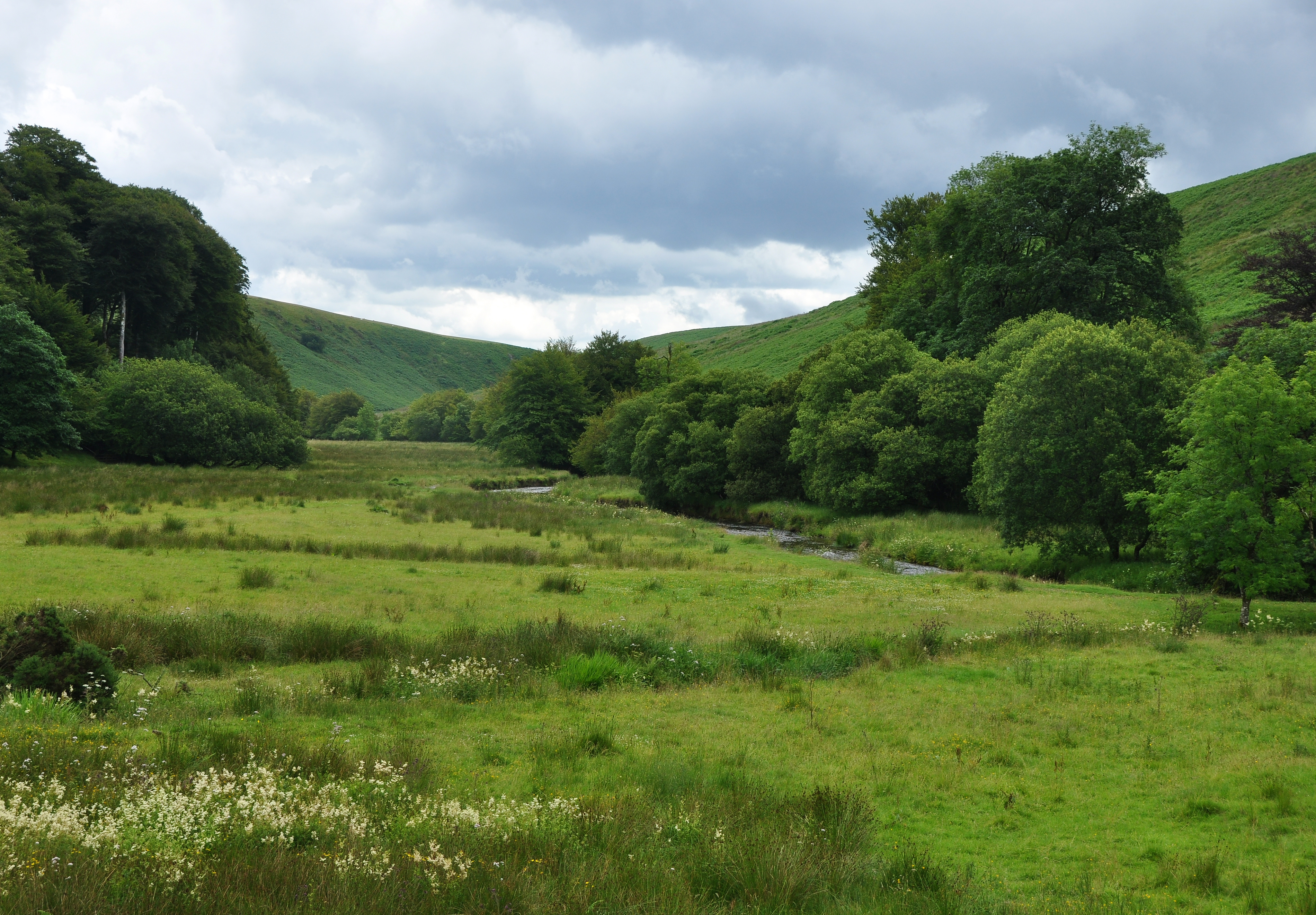
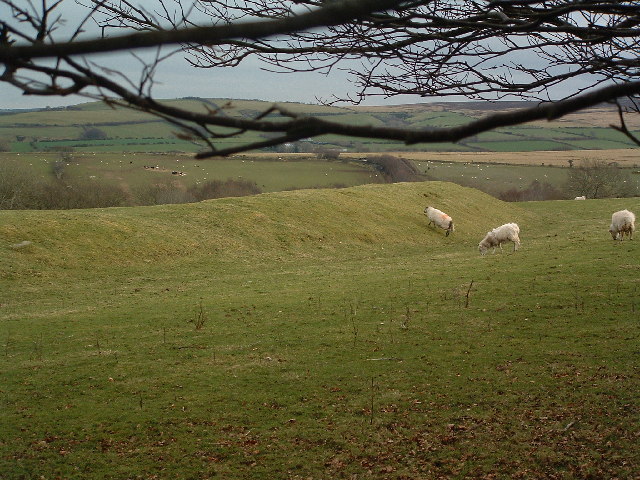
Bill Hill offers breathtaking panoramic views of the surrounding countryside, making it a perfect spot for photographers and sightseers. The hill is covered in lush greenery, with a variety of plant species dotting its slopes. It is also home to a diverse range of wildlife, including birds, mammals, and insects.
The hill features well-maintained trails and footpaths, making it accessible to both experienced and novice hikers. Its varied terrain provides a challenging yet rewarding experience for outdoor enthusiasts. The summit of Bill Hill offers a stunning vantage point, allowing visitors to admire the stunning landscapes of Somerset and beyond.
Bill Hill is steeped in history and folklore, with tales and legends associated with its origins. It is said to have been formed during the last Ice Age, and its name is derived from the Old English word "bile," meaning round or swelling. The hill has witnessed centuries of human activity, and archaeological remains such as burial mounds and ancient settlements can be found in the vicinity.
Overall, Bill Hill is a captivating natural landmark in Somerset, offering visitors a chance to immerse themselves in the beauty of the English countryside while enjoying outdoor activities and exploring its rich history.
If you have any feedback on the listing, please let us know in the comments section below.
Bill Hill Images
Images are sourced within 2km of 51.153144/-3.832076 or Grid Reference SS7140. Thanks to Geograph Open Source API. All images are credited.


Bill Hill is located at Grid Ref: SS7140 (Lat: 51.153144, Lng: -3.832076)
Administrative County: Somerset
District: Somerset West and Taunton
Police Authority: Avon and Somerset
What 3 Words
///deleting.dared.bliss. Near Lynton, Devon
Nearby Locations
Related Wikis
Barle Valley
Barle Valley is a 1,540 acres (620 ha) Site of Special Scientific Interest within Exmoor National Park, situated in the counties of Devon and Somerset...

Shoulsbury castle
Shoulsbury Castle is an Iron Age hill fort close to Challacombe in Devon, England. It takes the form of a multi-ditch and rampart enclosure close to the...
Challacombe
Challacombe is a small village on the edge of the Exmoor National Park, in Devon, England. The village has a small general shop/Post Office and a single...

Chains (geological site)
The Chains is the name given to the north-west plateau of Exmoor, Somerset, England. This plateau lies above the 1,500 feet (457 m) contour line, and includes...
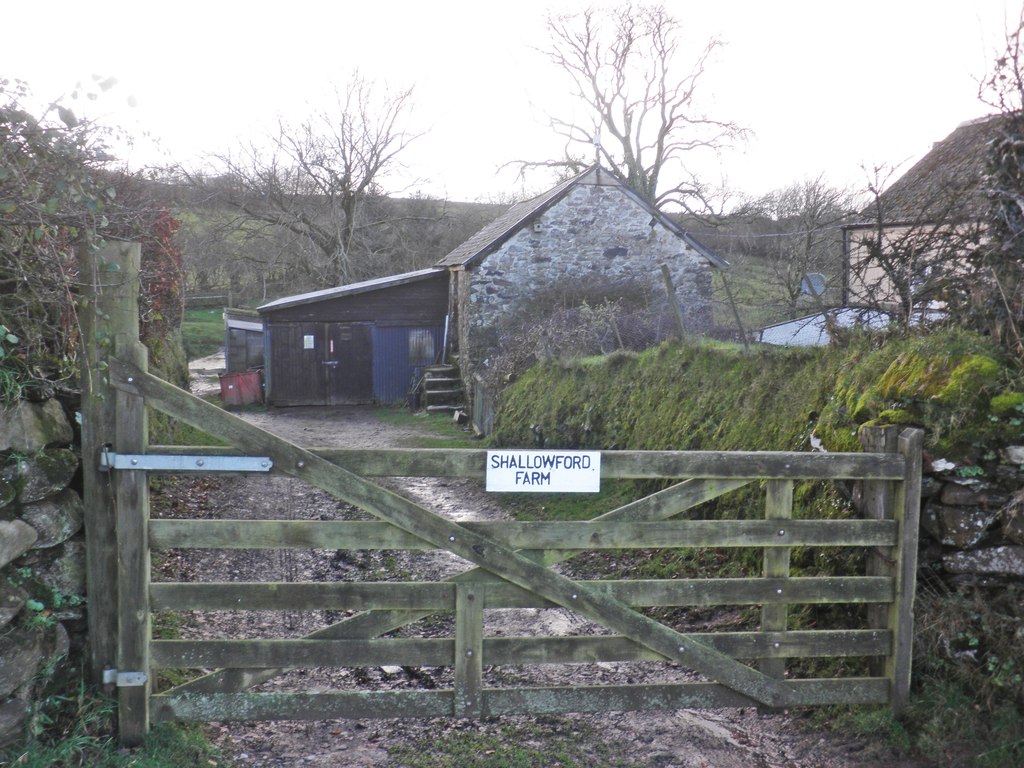
Shallowford, Devon
Shallowford is a hamlet in the civil parish of Lynton and Lynmouth in the North Devon district of Devon, England. Its nearest town is Lynton, which lies...
Roborough Castle
Roborough Castle is an Iron Age enclosure or hill fort situated close to Lynton in Devon, England. The fort is situated on the North East edge of a Hillside...

Furzehill, Devon
Furzehill is a hamlet in the North Devon district of Devon, England. Its nearest town is Lynton, which lies approximately 4 miles (6.4 km) north from the...
Simonsbath House
Simonsbath House is a historic house in Simonsbath on Exmoor in Somerset, England. The Grade II listed building is now the Simonsbath House Hotel, and...
Nearby Amenities
Located within 500m of 51.153144,-3.832076Have you been to Bill Hill?
Leave your review of Bill Hill below (or comments, questions and feedback).