Bamfurlong
Settlement in Gloucestershire Tewkesbury
England
Bamfurlong

Bamfurlong is a small village located in the county of Gloucestershire, England. Situated about 8 miles east of the city of Gloucester, it falls within the borough of Tewkesbury. The village is nestled in the picturesque countryside, surrounded by rolling hills and farmland.
With a population of around 500 residents, Bamfurlong has a close-knit community feel. The village is known for its peaceful and rural atmosphere, making it an ideal place for those seeking a tranquil lifestyle away from the hustle and bustle of city living.
The village features a few amenities to cater to the residents' daily needs, including a local convenience store and a traditional pub that serves as a hub for social gatherings and a place to enjoy a pint. Additionally, Bamfurlong benefits from being in close proximity to nearby towns and cities, providing easy access to a wider range of services and facilities.
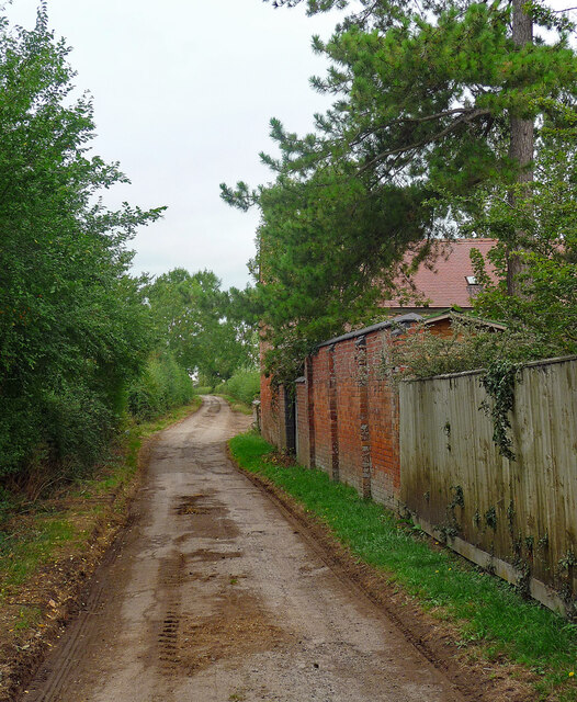
Nature enthusiasts are drawn to Bamfurlong for its beautiful natural surroundings. The village is surrounded by stunning countryside, offering opportunities for scenic walks, cycling, and other outdoor activities. The nearby River Severn also provides a picturesque setting for fishing and boating.
Overall, Bamfurlong, Gloucestershire, offers a peaceful and idyllic rural lifestyle, with its stunning natural beauty and close-knit community making it an attractive place to live for those seeking a slower pace of life.
If you have any feedback on the listing, please let us know in the comments section below.
Bamfurlong Images
Images are sourced within 2km of 51.895418/-2.153287 or Grid Reference SO8921. Thanks to Geograph Open Source API. All images are credited.


Bamfurlong is located at Grid Ref: SO8921 (Lat: 51.895418, Lng: -2.153287)
Administrative County: Gloucestershire
District: Tewkesbury
Police Authority: Gloucestershire
What 3 Words
///piles.foods.figure. Near Churchdown, Gloucestershire
Nearby Locations
Related Wikis

Bamfurlong, Gloucestershire
Bamfurlong is a village in Gloucestershire, England, between Cheltenham and Gloucester, near Gloucestershire Airport, and divided in two by the M5 motorway...

RAF Staverton
Royal Air Force Staverton or more simply RAF Staverton is a former Royal Air Force station about 4 miles (6 km) west of Cheltenham, Gloucestershire, England...
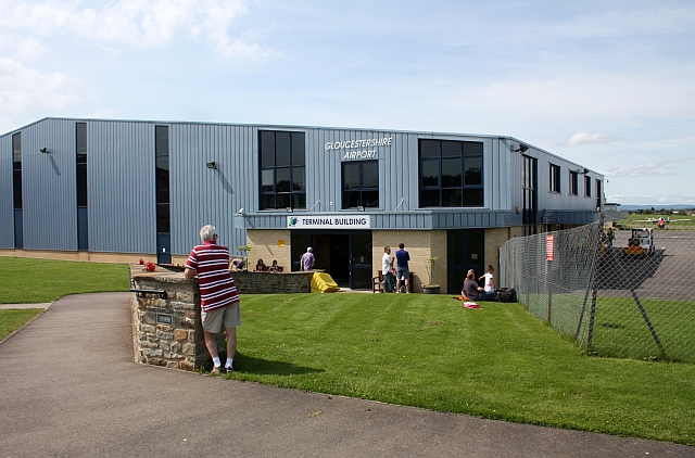
Gloucestershire Airport
Gloucestershire Airport (IATA: GLO, ICAO: EGBJ), formerly Staverton Airport, is a small airport at Churchdown, England. It lies 3.5 nautical miles (6.5...
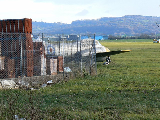
Jet Age Museum
The Jet Age Museum is the trading name of the Gloucestershire Aviation Collection, an all-volunteer, charitable organisation dedicated to the preservation...

Staverton, Gloucestershire
Staverton is a village between the city of Gloucester and the town of Cheltenham in Gloucestershire, England, in the borough of Tewkesbury. The population...
Chosen Hill School
Chosen Hill School is a large co-educational academy school in the village of Churchdown in Gloucestershire, England, between Cheltenham and Gloucester...

Churchdown railway station
Churchdown railway station was situated on the main line between Gloucester and Cheltenham Spa. It served Churchdown and surrounding areas. == History... ==

Badgeworth SSSI, Gloucestershire
Badgeworth SSSI (grid reference SO 911206) is a 3.08-hectare (7.6-acre) biological Site of Special Scientific Interest in Gloucestershire notified in 1954...
Related Videos

Cheltenham Town Community Trust partner with Cheltenham Borough Homes for summer holiday camps
Will Mills from the Cheltenham Town Community Trust and first team player Will Boyle from the summer holiday camp at ...

Skyborne Chairman & CEO Video Update September 2020
Watch our latest update with Skyborne CEO, Lee Woodward. A walk through our Skyborne Aviation Academy Headquarters is ...
Walking back from Gloucester Airport along the Bridleway
Not a bad walk back along the bridleway we meet friendly and not so friendly dogs and I get attacked by a bramble.
Final approach #helicopter #robinsonhelicopter #landing #flying #manni #pilot #aviation #travel
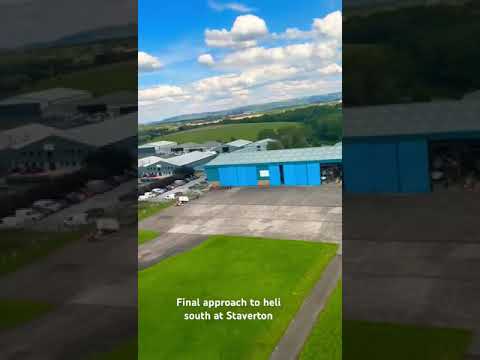
Flying back to base to Heliflight at Staverton. Great fun great club.
Nearby Amenities
Located within 500m of 51.895418,-2.153287Have you been to Bamfurlong?
Leave your review of Bamfurlong below (or comments, questions and feedback).