Bamfurlong
Settlement in Lancashire
England
Bamfurlong
Bamfurlong is a small village located in the county of Lancashire, England. Situated within the borough of Wigan, it is approximately 3 miles northeast of the town of Wigan itself. The village is nestled amidst the picturesque landscape of the Greater Manchester Urban Area.
With a population of around 1,000 residents, Bamfurlong maintains a close-knit community atmosphere. The village is predominantly residential, featuring a mix of old stone cottages and newer housing developments. The architecture reflects its industrial past, with remnants of the area's mining history still visible in the surrounding landscape.
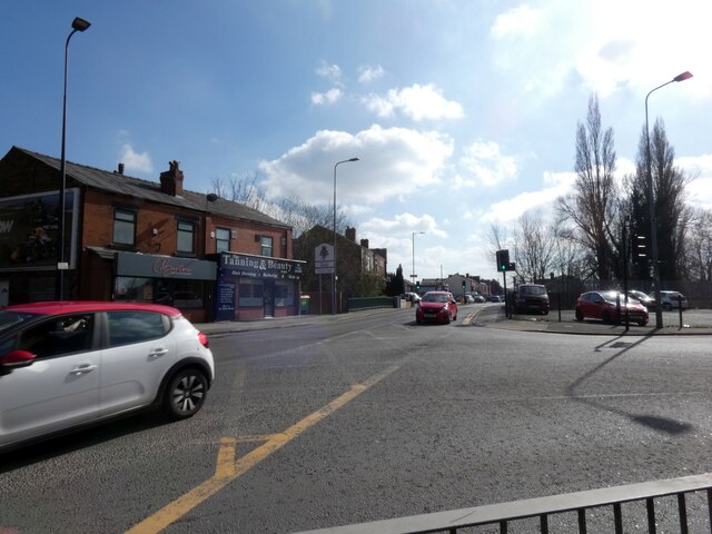
Though small in size, Bamfurlong benefits from its proximity to nearby towns and cities. Wigan offers a range of amenities including shopping centers, leisure facilities, and educational institutions. The village is also well-connected by road, with the A49 and A573 providing easy access to the wider region.
The local economy is diverse, with residents employed in a variety of sectors including healthcare, retail, and manufacturing. While Bamfurlong no longer relies on the coal mining industry that once thrived in the area, the village still maintains a strong sense of community spirit.
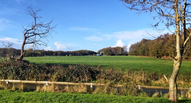
Surrounded by lush green fields and rolling countryside, Bamfurlong offers residents and visitors the opportunity to enjoy the beauty of the Lancashire landscape. The village's tranquil setting and friendly atmosphere make it an attractive place to live for those seeking a balance between rural and urban life.
If you have any feedback on the listing, please let us know in the comments section below.
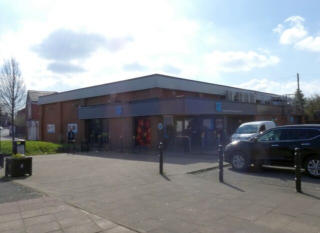
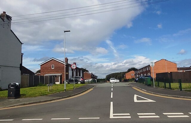
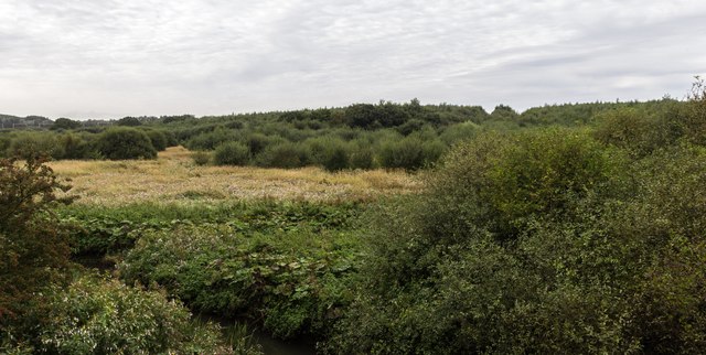
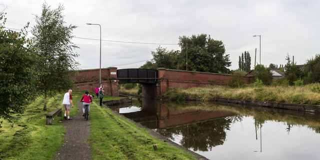
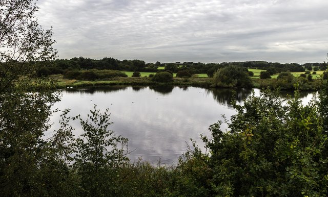
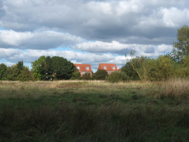
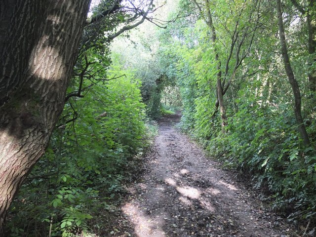
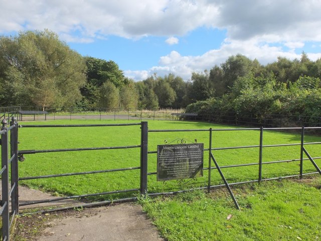
Bamfurlong Images
Images are sourced within 2km of 53.507737/-2.606867 or Grid Reference SD5901. Thanks to Geograph Open Source API. All images are credited.


Bamfurlong is located at Grid Ref: SD5901 (Lat: 53.507737, Lng: -2.606867)
Unitary Authority: Wigan
Police Authority: Greater Manchester
What 3 Words
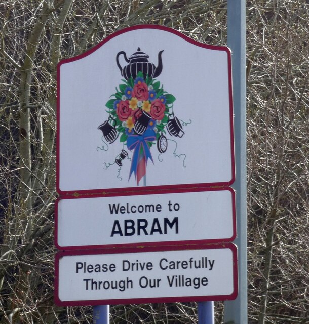
///take.wells.clocks. Near Abram, Manchester
Nearby Locations
Related Wikis

Bamfurlong, Greater Manchester
Bamfurlong is a small village in the Metropolitan Borough of Wigan, Greater Manchester, England. == Location == It lies approximately 2.6 miles (4.2 km...

Bamfurlong railway station
Bamfurlong railway station served the village of Bamfurlong part of Abram, to the south of Wigan. == The line before the station == The line was opened...
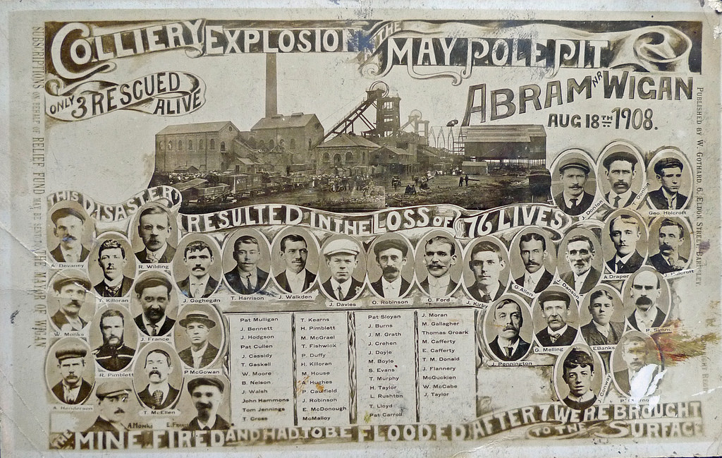
Maypole Colliery disaster
The Maypole Colliery disaster was a mining accident on 18 August 1908, when an underground explosion occurred at the Maypole Colliery, in Abram, near Wigan...

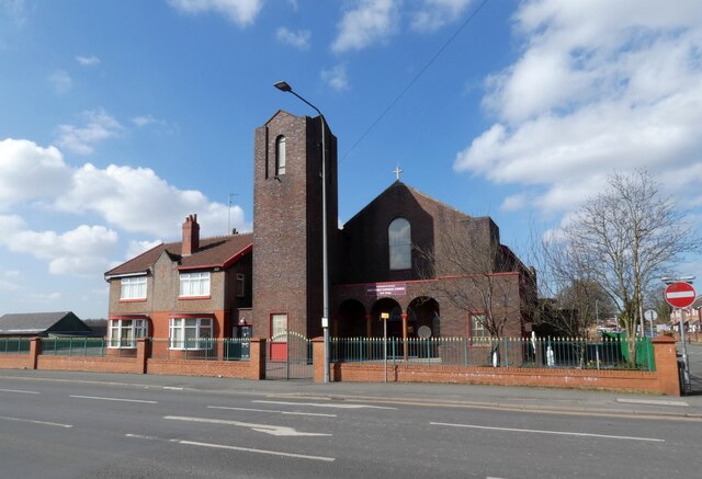
St John the Evangelist's Church, Abram
St John the Evangelist's Church is on Warrington Road in Abram, Wigan, Greater Manchester, England. It is an active Anglican parish church in the deanery...
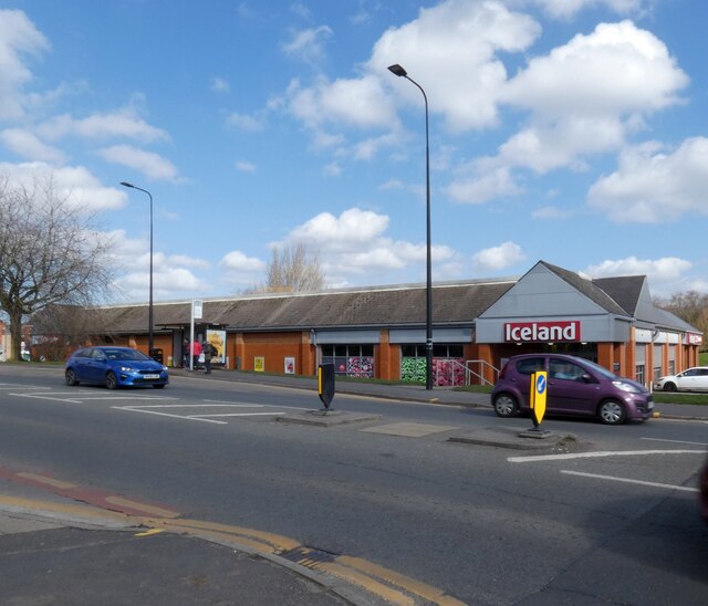
Nearby Amenities
Located within 500m of 53.507737,-2.606867Have you been to Bamfurlong?
Leave your review of Bamfurlong below (or comments, questions and feedback).