Upper Glenjaan Hill
Hill, Mountain in Dumfriesshire
Scotland
Upper Glenjaan Hill

The requested URL returned error: 429 Too Many Requests
If you have any feedback on the listing, please let us know in the comments section below.
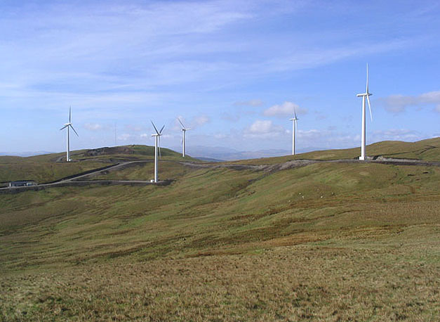
Upper Glenjaan Hill Images
Images are sourced within 2km of 55.2249/-4.0508965 or Grid Reference NX6994. Thanks to Geograph Open Source API. All images are credited.


Upper Glenjaan Hill is located at Grid Ref: NX6994 (Lat: 55.2249, Lng: -4.0508965)
Unitary Authority: Dumfries and Galloway
Police Authority: Dumfries and Galloway
What 3 Words
///treating.encoded.exhaling. Near Sanquhar, Dumfries & Galloway
Nearby Locations
Related Wikis

Carsphairn and Scaur Hills
The Carsphairn and Scaur Hills are the western and eastern hills respectively of a hill range in the Southern Uplands of Scotland. Ordnance Survey maps...

Craigdarroch
"Craigdarroch, An Accessory to Murder" is an expansion set for the board game Kill Doctor Lucky Craigdarroch is a house near Moniaive, Dumfries and Galloway...

Moniaive
Moniaive ( 'monny-IVE'; Scottish Gaelic: Am Moine Naomh, "The Holy Moor") is a village in the Parish of Glencairn, in Dumfries and Galloway, southwest...

Moniaive railway station
Moniaive railway station is the closed station terminus of the Cairn Valley Light Railway (CVR) branch, from Dumfries. It served the rural area of Moniaive...
Nearby Amenities
Located within 500m of 55.2249,-4.0508965Have you been to Upper Glenjaan Hill?
Leave your review of Upper Glenjaan Hill below (or comments, questions and feedback).