Am Beannan
Hill, Mountain in Perthshire
Scotland
Am Beannan
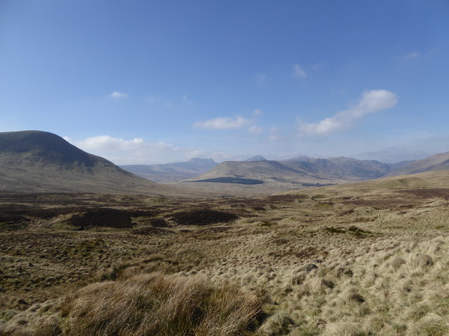
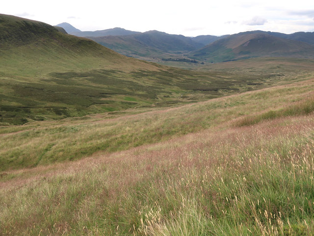
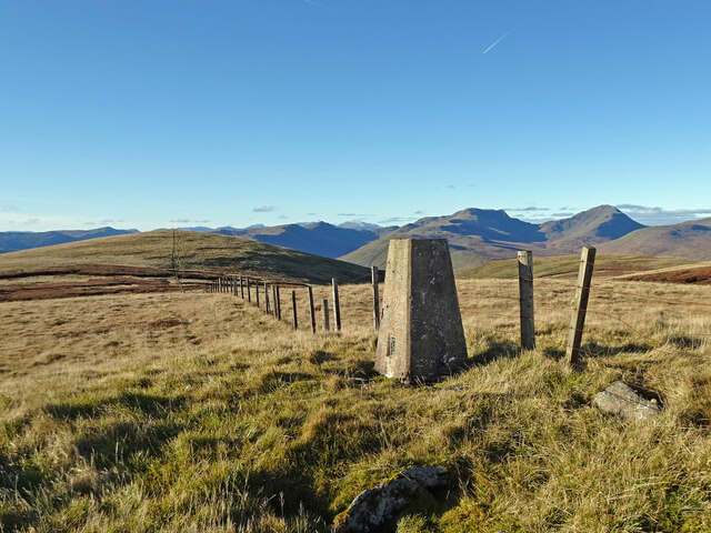
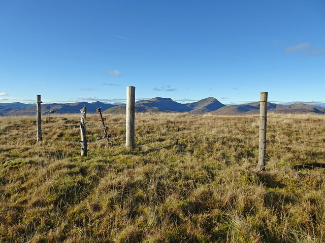
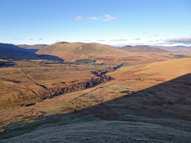
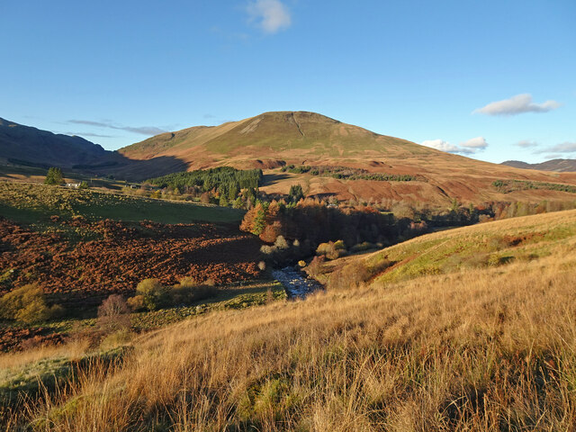
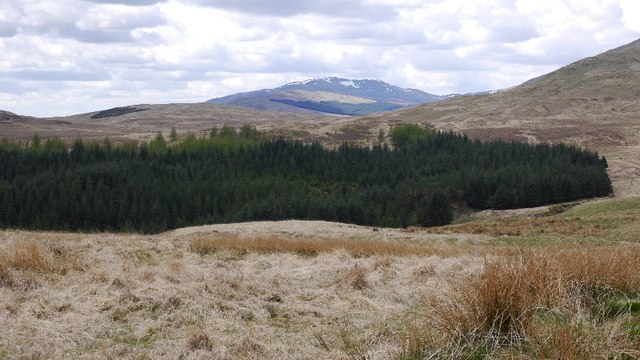
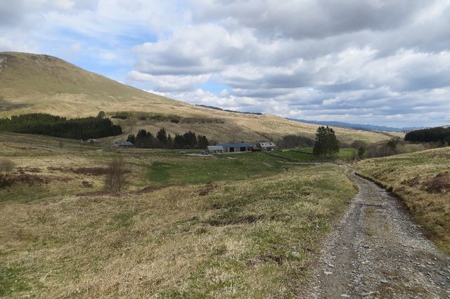
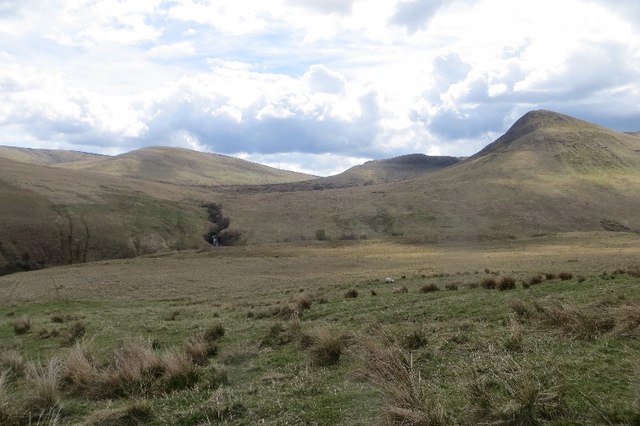
Am Beannan is a prominent hill located in Perthshire, Scotland. It is part of the Grampian Mountains, which are known for their rugged beauty and stunning landscapes. Rising to an elevation of 1,001 meters (3,284 feet), Am Beannan offers breathtaking panoramic views of the surrounding countryside.
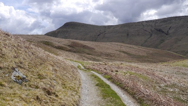
The hill is primarily composed of granite, which gives it a distinctive appearance and contributes to its challenging terrain. Its northern and eastern slopes are steep and rocky, while the southern and western sides feature gentler gradients. This diversity makes it a popular destination for both experienced hikers and casual walkers.
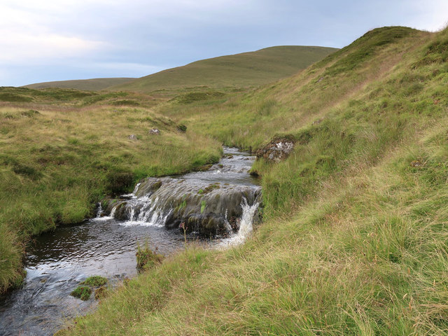
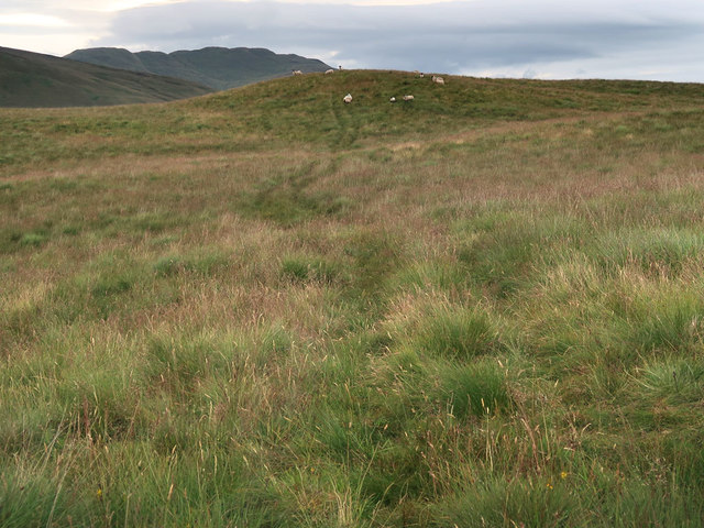
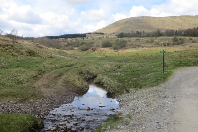
Am Beannan is home to a variety of flora and fauna, including heather, mosses, and lichens. The hill also provides habitat for several bird species, such as golden eagles and peregrine falcons, making it a haven for birdwatching enthusiasts.
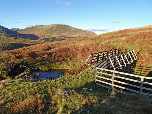
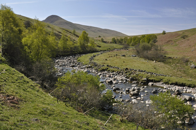
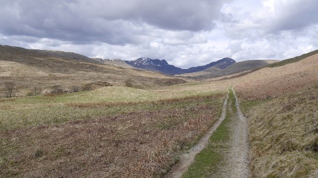
The hill is easily accessible from the nearby town of Pitlochry, which offers amenities such as parking, accommodation, and local shops. Numerous well-marked trails lead to the summit, offering varying levels of difficulty. The most popular route begins at Ben Vrackie Car Park and takes approximately three to four hours to complete, depending on fitness levels.
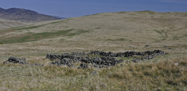
Am Beannan is not only a natural wonder but also holds historical significance. It was once used as a refuge for local clans during times of conflict, and remnants of ancient settlements can still be found in the area.
Overall, Am Beannan is a must-visit destination for nature enthusiasts and those seeking a challenging outdoor adventure in the heart of Perthshire's stunning landscape.
If you have any feedback on the listing, please let us know in the comments section below.
Am Beannan Images
Images are sourced within 2km of 56.295838/-4.1142662 or Grid Reference NN6913. Thanks to Geograph Open Source API. All images are credited.
Am Beannan is located at Grid Ref: NN6913 (Lat: 56.295838, Lng: -4.1142662)
Unitary Authority: Perth and Kinross
Police Authority: Tayside
What 3 Words
///chest.rhino.shrugging. Near Callander, Stirling
Nearby Locations
Related Wikis

Uamh Bheag
Uamh Bheag is a hill in the Glen Artney Hills range immediately south of the Highland Boundary Fault, part of the Central Lowlands of Scotland. The highest...

Uamh Mhòr
Uamh Mhòr (older spelling Uaighmor, also anglicised Uam Var) is a summit in Kilmadock parish in Stirling council area, Scotland, north of the River Teith...

Beinn nan Eun (Perth and Kinross)
Beinn nan Eun is a hill in the Glen Artney Hills range immediately south of the Highland Boundary Fault, part of the Central Lowlands of Scotland. The...

Braes of Doune Wind Farm
Braes of Doune Wind Farm is a wind farm located close to Stirling, Scotland and opened in 2007. == History == The farm was built by Alfred McAlpine in...
Glen Artney
Glen Artney or Glenartney is a valley in Perthshire, Scotland.Several ships have been named Glenartney: SS Glenartney (1869), an iron-hulled steamship...

Bracklinn Falls
The Bracklinn Falls are a series of waterfalls north-east of Callander, Scotland on the course of the Keltie Water, where the river crosses the Highland...

A84 road
The A84 is a major road in Scotland, United Kingdom. It links the city of Stirling with Lochearnhead, running an approximate 28 miles (45 km). == Road... ==

Ben Vorlich, Loch Earn
Ben Vorlich (Scottish Gaelic: Beinn Mhùrlaig) is a mountain in the Southern Highlands of Scotland. It lies south of Loch Earn and Ardvorlich, and a short...
Have you been to Am Beannan?
Leave your review of Am Beannan below (or comments, questions and feedback).