Cnoc nan Cnaimhseag
Hill, Mountain in Ross-shire
Scotland
Cnoc nan Cnaimhseag
Cnoc nan Cnaimhseag is a prominent hill located in Ross-shire, Scotland. It is situated in the northern part of the country, near the village of Evanton. The hill stands at an elevation of approximately 384 meters (1,260 feet) and is a popular destination for outdoor enthusiasts and hikers.
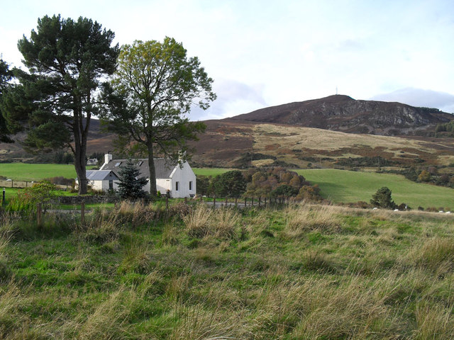
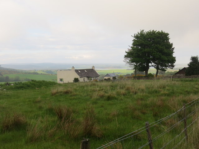
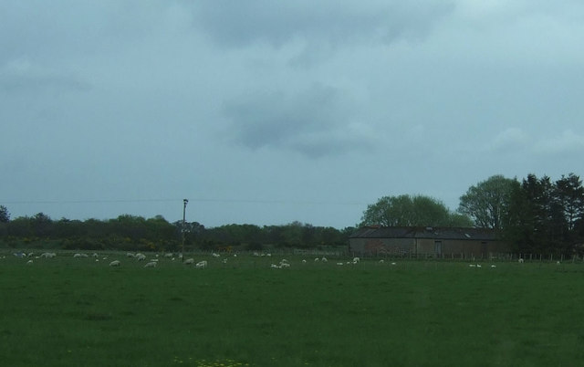
Cnoc nan Cnaimhseag offers stunning panoramic views of the surrounding area, including the Cromarty Firth and the Highland landscape. On a clear day, it is possible to see the Ben Wyvis mountain range in the distance. The hill is covered in heather and grass, creating a picturesque scene that is particularly beautiful during the summer months when the flowers are in bloom.
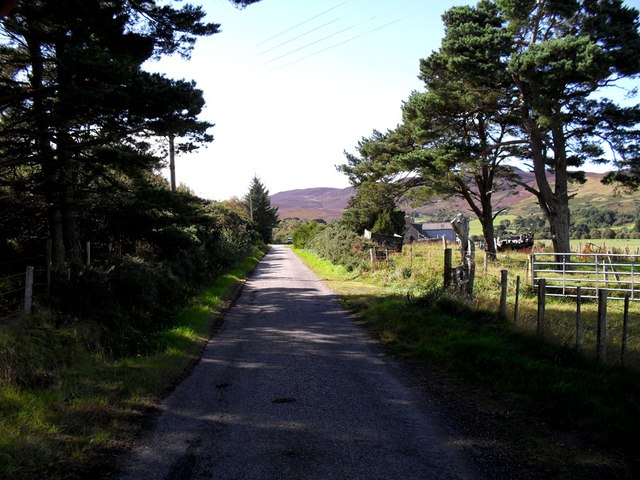
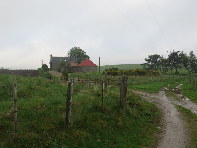
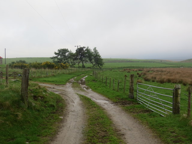
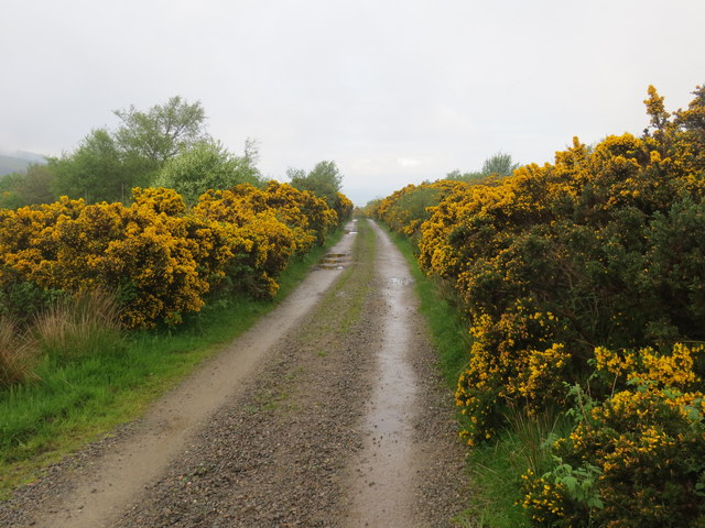
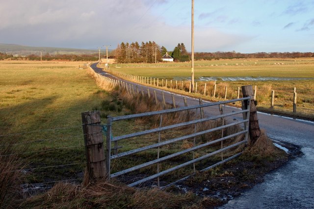
There are several walking routes that lead to the summit of Cnoc nan Cnaimhseag, catering to different levels of fitness and experience. The paths are well-maintained, making it accessible for both beginners and experienced hikers. Along the way, visitors may encounter various wildlife species, such as red deer, mountain hares, and a wide variety of birdlife.
The hill is also steeped in history, with several ancient ruins and archaeological sites scattered throughout the area. These include stone circles and burial mounds, providing insight into the rich cultural heritage of the region.
Overall, Cnoc nan Cnaimhseag is a breathtaking natural landmark that offers not only a challenging hike but also a chance to immerse oneself in the stunning Scottish countryside and learn about its fascinating history.
If you have any feedback on the listing, please let us know in the comments section below.
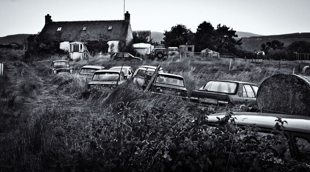
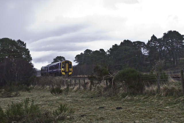
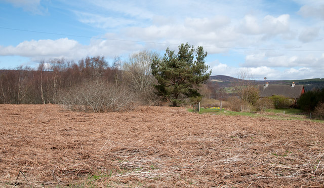
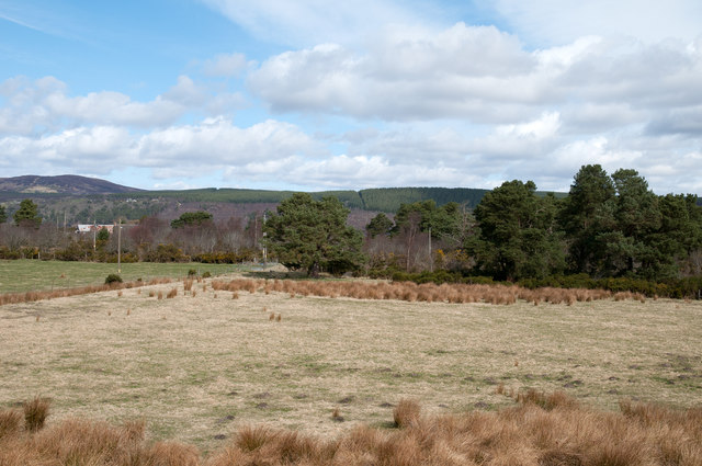
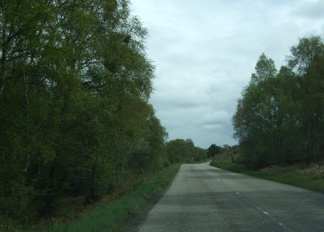
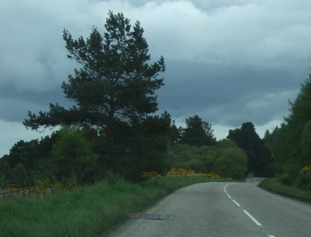
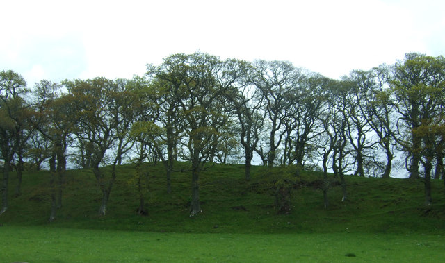
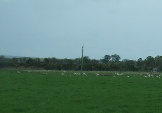
Cnoc nan Cnaimhseag Images
Images are sourced within 2km of 57.847961/-4.2168566 or Grid Reference NH6886. Thanks to Geograph Open Source API. All images are credited.
Cnoc nan Cnaimhseag is located at Grid Ref: NH6886 (Lat: 57.847961, Lng: -4.2168566)
Unitary Authority: Highland
Police Authority: Highlands and Islands
What 3 Words
///likening.smokers.hardback. Near Tain, Highland
Nearby Locations
Related Wikis

Ardmore, Easter Ross
Ardmore (Scottish Gaelic: An Àird Mhòr) is a village on the south shore of Dornoch Firth in Tain, Ross-shire, Highland and is in the Scottish council area...

Balblair distillery
Balblair distillery is a Scotch malt whisky distillery located in Edderton, Ross-shire, Scotland. Founded in 1790, the distillery was rebuilt in 1895 by...

Edderton railway station
Edderton railway station served the village of Edderton, Highland, Scotland from 1864 to 1960 on the Inverness and Ross-shire Railway. == History == The...
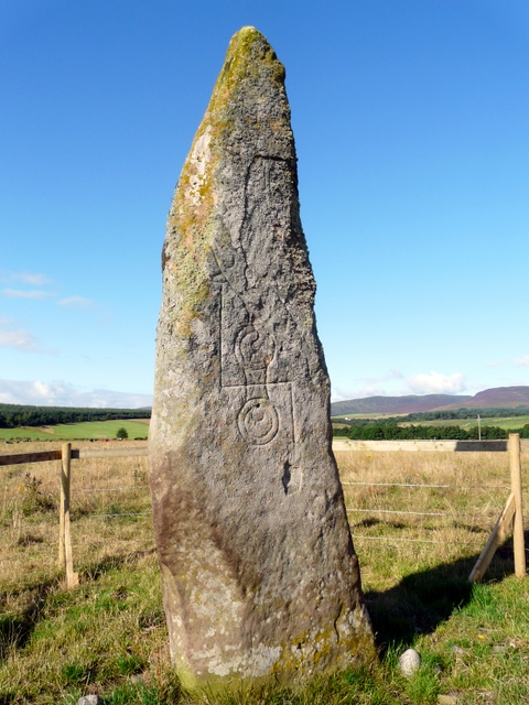
Clach Biorach
Clach Chairidh, alternatively named Clach Biorach (from Scots Gaelic, meaning 'the Pointed Stone'), is a Class I Pictish stone located in a field near...
Balleigh
Balleigh is a small village, 0.5 miles southeast of Edderton and 7 miles west of Tain, in eastern Ross-shire, Scottish Highlands and is in the Scottish...

Edderton Cross Slab
Edderton Cross Slab is a Class III Pictish stone standing in the old graveyard of the village of Edderton, Easter Ross. The stone is of red sandstone...

A949 road
The A949 is a major road in Sutherland, in the Highland area of Scotland. It has staggered junctions with the A9. From the A949 the A9 runs (1) generally...
Edderton
Edderton (Scottish Gaelic: Eadardan) is a village near Tain, lying on the shores of the Dornoch Firth, Easter Ross and is in the Highland council area...
Nearby Amenities
Located within 500m of 57.847961,-4.2168566Have you been to Cnoc nan Cnaimhseag?
Leave your review of Cnoc nan Cnaimhseag below (or comments, questions and feedback).