Cnoc nan Orduighean
Hill, Mountain in Ross-shire
Scotland
Cnoc nan Orduighean
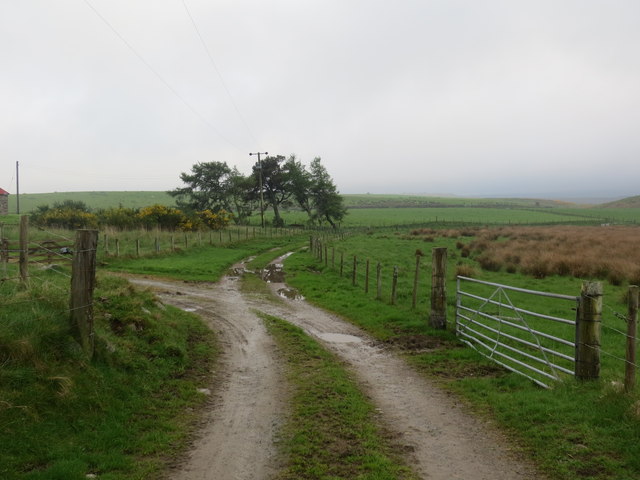
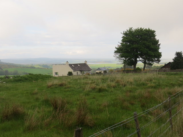
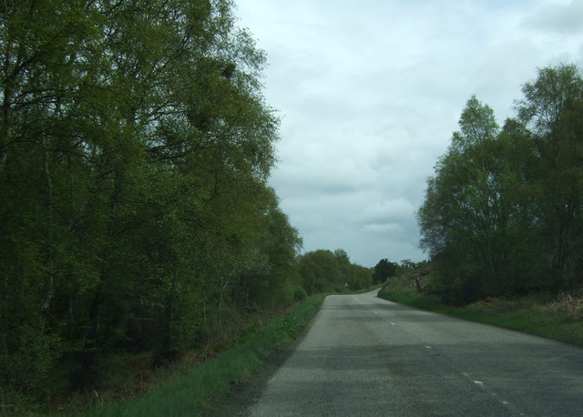
Cnoc nan Orduighean is a prominent hill located in the county of Ross-shire, Scotland. It is situated in the scenic Highlands region, specifically in the western part of the county near the village of Contin. Cnoc nan Orduighean is part of the larger mountainous area known as the Scottish Highlands, renowned for its stunning landscapes and rugged beauty.
The hill stands at an elevation of approximately 476 meters (1,562 feet) and offers breathtaking panoramic views of the surrounding countryside. Its location within the Highlands provides visitors with a picturesque scene of rolling hills, lush green valleys, and sparkling lochs. On a clear day, one can even catch a glimpse of the distant snow-capped peaks of Ben Wyvis and the Torridon mountains.
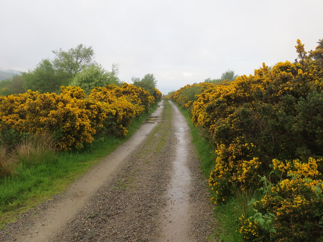
Cnoc nan Orduighean is a popular destination for outdoor enthusiasts, hikers, and nature lovers. It offers a range of walking trails and paths that cater to both experienced climbers and casual walkers. The ascent to the summit is moderately challenging, but the reward of reaching the top is well worth the effort.
The hill is also home to a diverse array of flora and fauna. It boasts an abundance of heather, wildflowers, and native grasses, while red deer and mountain hares can often be spotted in the surrounding areas. Birdwatchers will also find plenty of opportunities to observe various species, including golden eagles and peregrine falcons.
Overall, Cnoc nan Orduighean presents an ideal opportunity to immerse oneself in the natural beauty of the Scottish Highlands and experience the tranquility of the countryside. Whether one seeks a challenging hike or a peaceful stroll, this hill offers a memorable experience for all who visit.
If you have any feedback on the listing, please let us know in the comments section below.
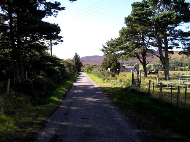
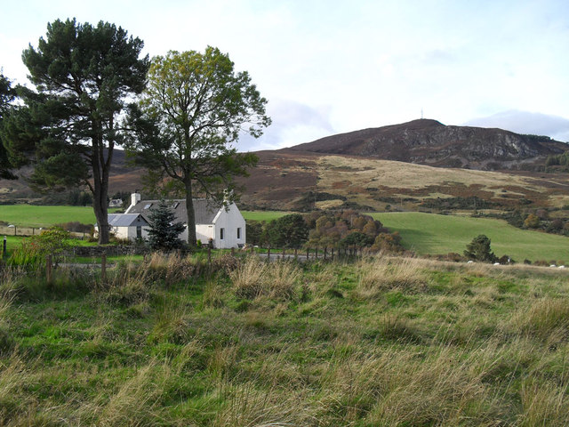
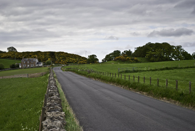
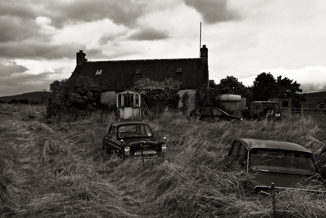
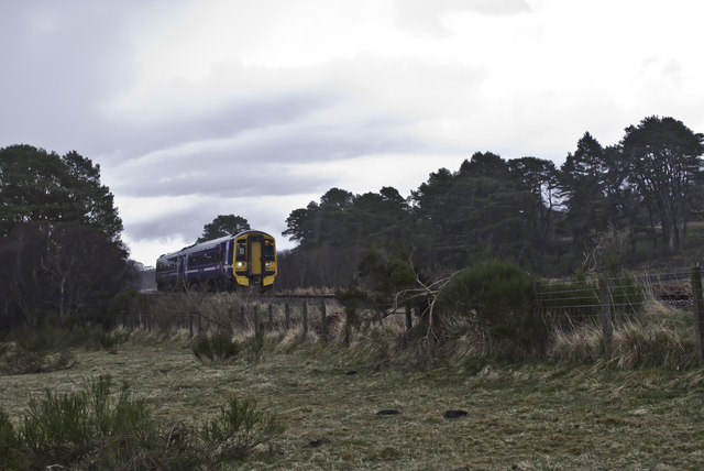
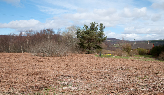
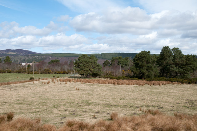
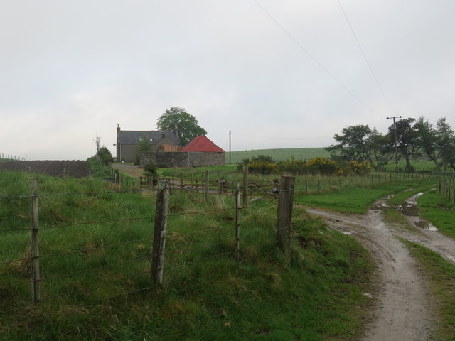
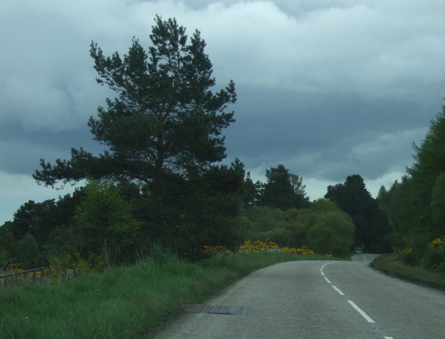
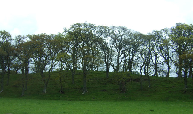
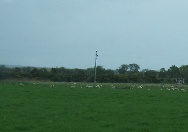
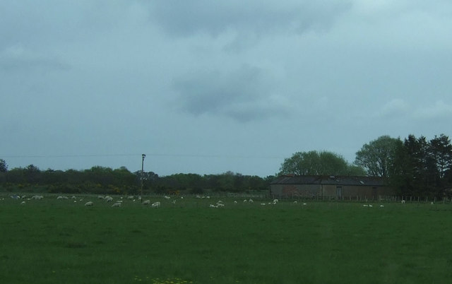
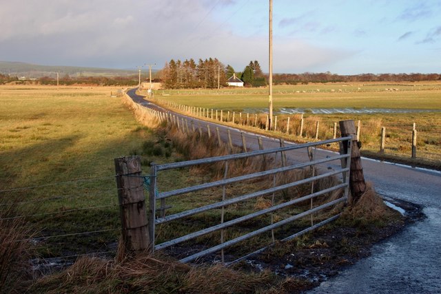
Cnoc nan Orduighean Images
Images are sourced within 2km of 57.845463/-4.2173434 or Grid Reference NH6886. Thanks to Geograph Open Source API. All images are credited.

Cnoc nan Orduighean is located at Grid Ref: NH6886 (Lat: 57.845463, Lng: -4.2173434)
Unitary Authority: Highland
Police Authority: Highlands and Islands
What 3 Words
///fattening.vague.jubilant. Near Tain, Highland
Nearby Locations
Related Wikis

Ardmore, Easter Ross
Ardmore (Scottish Gaelic: An Àird Mhòr) is a village on the south shore of Dornoch Firth in Tain, Ross-shire, Highland and is in the Scottish council area...

Balblair distillery
Balblair distillery is a Scotch malt whisky distillery located in Edderton, Ross-shire, Scotland. Founded in 1790, the distillery was rebuilt in 1895 by...

Edderton railway station
Edderton railway station served the village of Edderton, Highland, Scotland from 1864 to 1960 on the Inverness and Ross-shire Railway. == History == The...
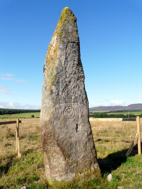
Clach Biorach
Clach Chairidh, alternatively named Clach Biorach (from Scots Gaelic, meaning 'the Pointed Stone'), is a Class I Pictish stone located in a field near...
Balleigh
Balleigh is a small village, 0.5 miles southeast of Edderton and 7 miles west of Tain, in eastern Ross-shire, Scottish Highlands and is in the Scottish...

Edderton Cross Slab
Edderton Cross Slab is a Class III Pictish stone standing in the old graveyard of the village of Edderton, Easter Ross. The stone is of red sandstone...
Edderton
Edderton (Scottish Gaelic: Eadardan) is a village near Tain, lying on the shores of the Dornoch Firth, Easter Ross and is in the Highland council area...

A949 road
The A949 is a major road in Sutherland, in the Highland area of Scotland. It has staggered junctions with the A9. From the A949 the A9 runs (1) generally...
Nearby Amenities
Located within 500m of 57.845463,-4.2173434Have you been to Cnoc nan Orduighean?
Leave your review of Cnoc nan Orduighean below (or comments, questions and feedback).