A' Chailleach
Hill, Mountain in Inverness-shire
Scotland
A' Chailleach
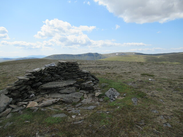
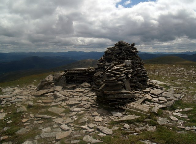
A' Chailleach is a prominent hill located in Inverness-shire, Scotland. It lies within the Monadhliath Mountains, which are part of the Scottish Highlands region. The hill stands at an elevation of 930 meters (3,051 feet) and is a popular destination for hikers and outdoor enthusiasts.
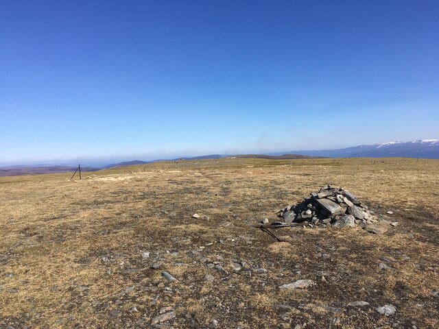
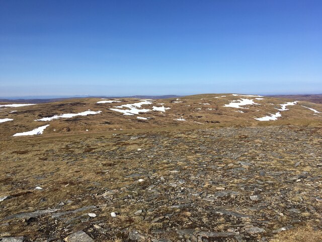
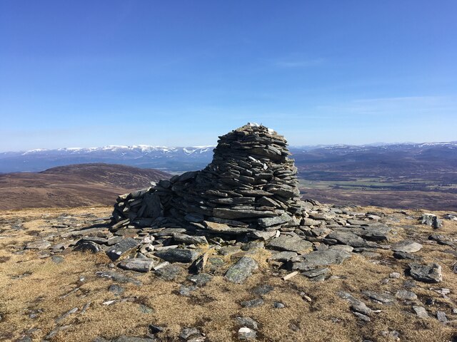
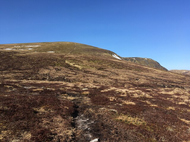
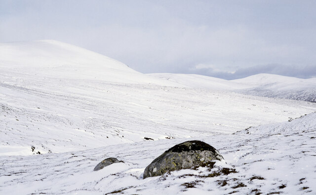
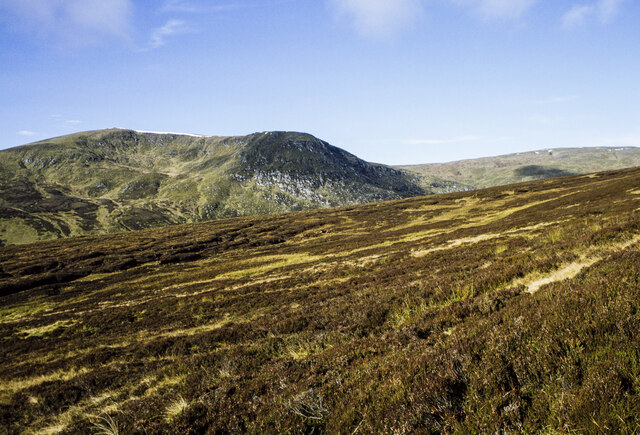
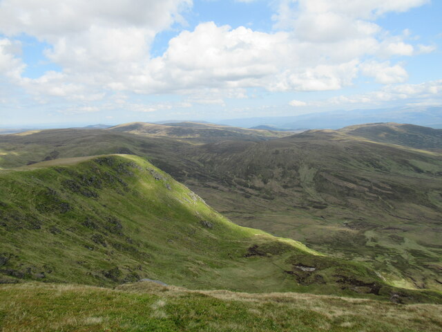
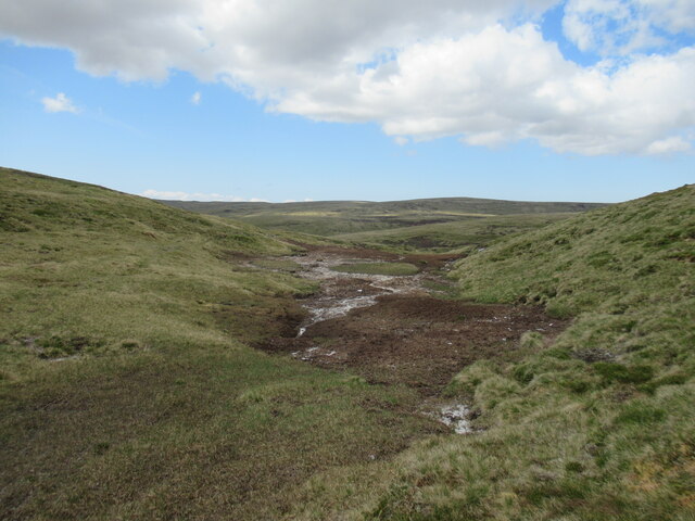
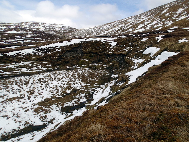
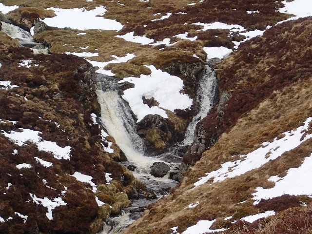
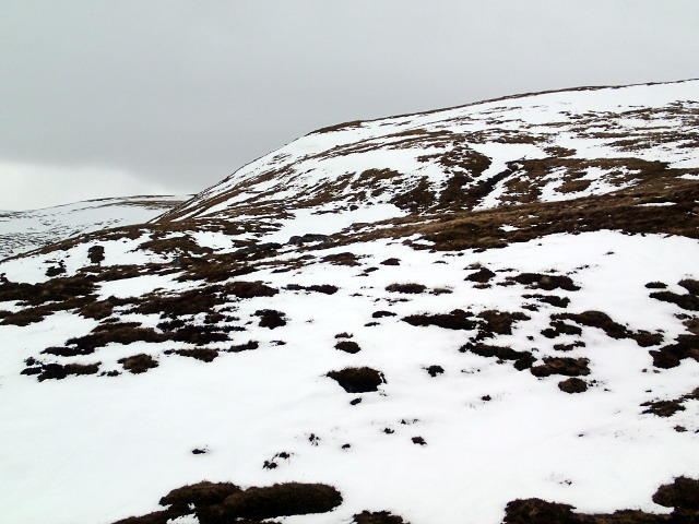
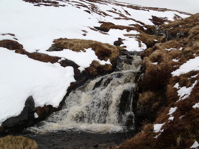
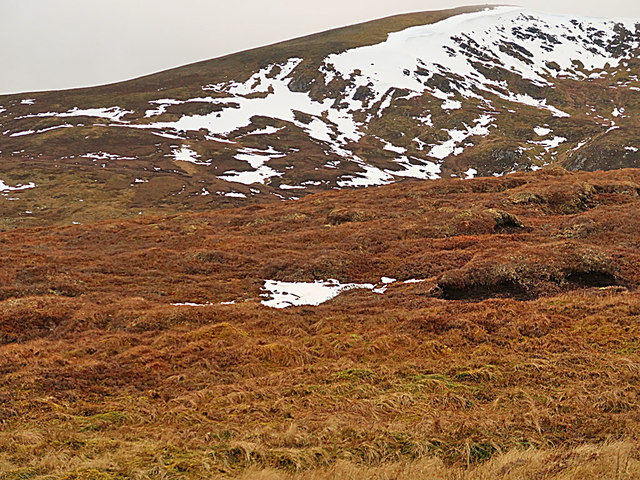
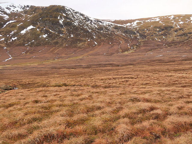
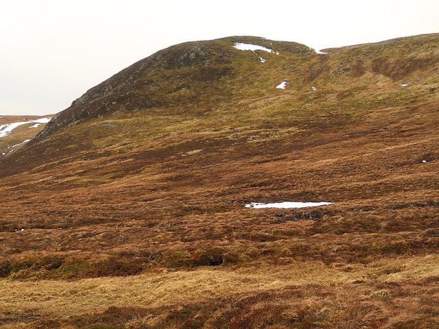
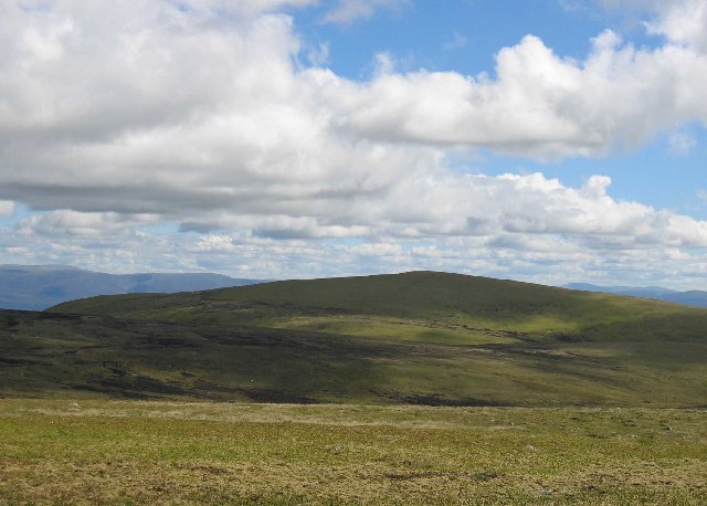
A' Chailleach is characterized by its rugged and rocky terrain, with steep slopes and scree-covered ridges. It offers stunning panoramic views of the surrounding landscape, including the nearby Loch Ness and the Great Glen. On a clear day, hikers can also catch glimpses of the Cairngorms National Park to the southeast.
The hill is composed mainly of granite and is home to a variety of flora and fauna. Alpine plants such as heather, mosses, and lichens can be found in abundance, along with hardy grasses and shrubs. Birdwatchers may also spot various species of birds, including eagles and peregrine falcons, soaring above the hill's craggy peaks.
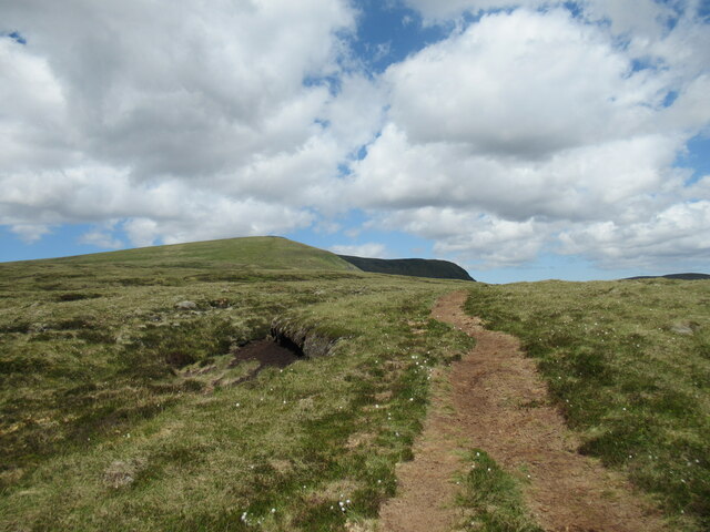
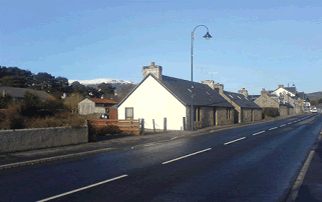
Hiking to the summit of A' Chailleach can be challenging, as the ascent involves steep sections and loose rocks. However, the effort is rewarded with breathtaking views and a sense of accomplishment. The most popular route to the summit starts from the village of Newtonmore, and the round trip usually takes around 5-6 hours to complete.
Overall, A' Chailleach is a magnificent hill in Inverness-shire that offers outdoor enthusiasts an opportunity to experience the beauty of the Scottish Highlands while enjoying a challenging hike.
If you have any feedback on the listing, please let us know in the comments section below.
A' Chailleach Images
Images are sourced within 2km of 57.109485/-4.1791884 or Grid Reference NH6804. Thanks to Geograph Open Source API. All images are credited.
A' Chailleach is located at Grid Ref: NH6804 (Lat: 57.109485, Lng: -4.1791884)
Unitary Authority: Highland
Police Authority: Highlands and Islands
What 3 Words
///uplifting.september.spin. Near Newtonmore, Highland
Nearby Locations
Related Wikis
A' Chailleach (Monadhliath Mountains)
A' Chailleach (Scottish Gaelic for 'the old woman or Cailleach') is one of the Monadhliath Mountains of Scotland. It lies 7 km (4.3 mi) northwest of Newtonmore...

Càrn Dearg, Monadh Liath
Càrn Dearg is the highest peak of the Monadh Liath mountains in the Highlands of Scotland. Its eastern flanks slope steeply down into Glen Ballach, while...
Newtonmore
Newtonmore (Scottish Gaelic: Baile Ùr an t-Slèibh [ˈpˠalʲ uːɾˠ ən̪ˠ ˈt̪ʰlʲeːv]) is a village in the Highland council area of Scotland. The village is only...
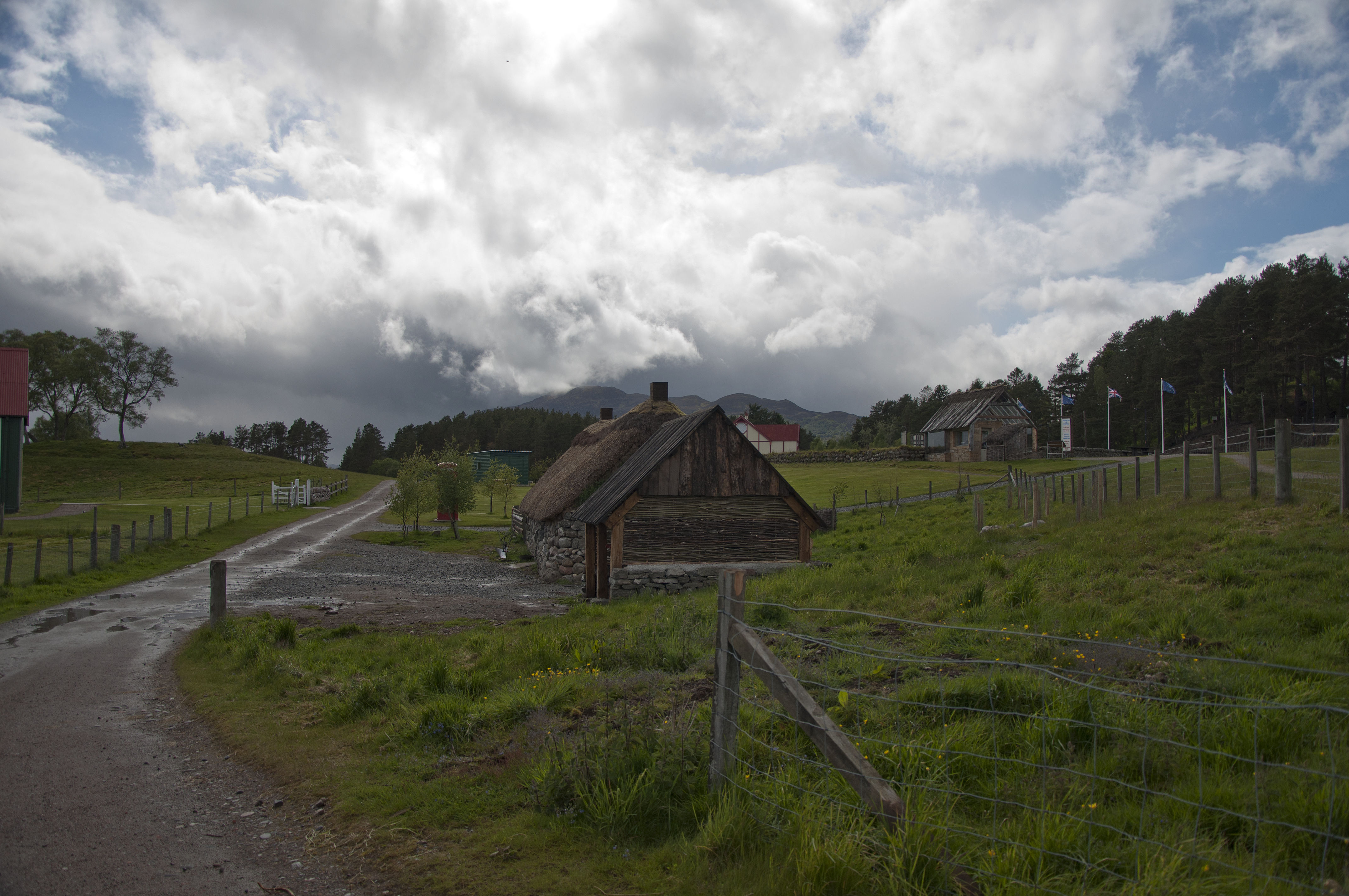
Highland Folk Museum
The Highland Folk Museum is a museum and an open-air visitor attraction in Newtonmore in Badenoch and Strathspey in the Scottish Highlands, United Kingdom...
Nearby Amenities
Located within 500m of 57.109485,-4.1791884Have you been to A' Chailleach?
Leave your review of A' Chailleach below (or comments, questions and feedback).