Coire na Caillich
Valley in Inverness-shire
Scotland
Coire na Caillich
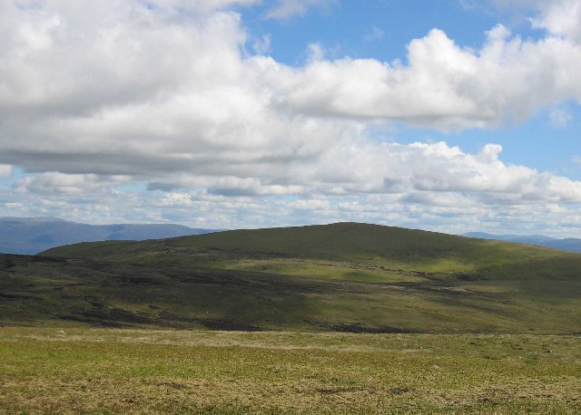
Coire na Caillich is a breathtaking valley located in Inverness-shire, Scotland. Nestled within the majestic Scottish Highlands, this valley offers a stunning natural landscape that attracts visitors from around the world.
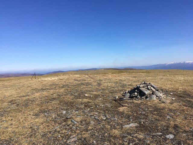
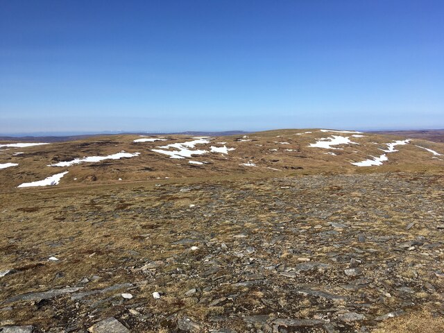
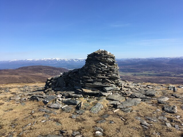
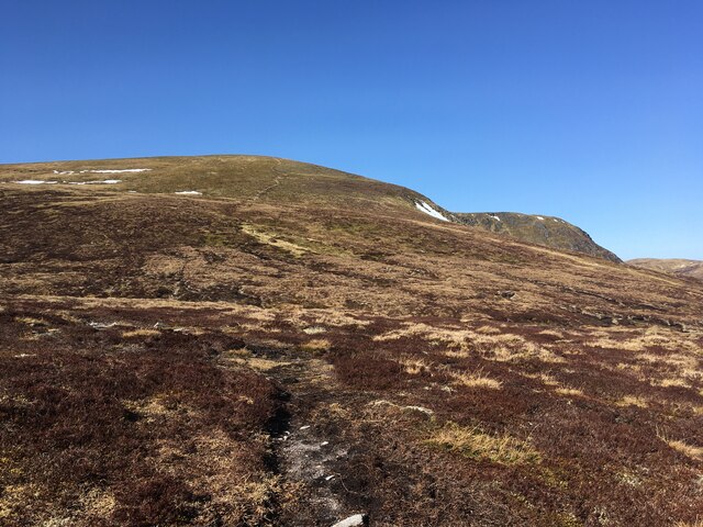
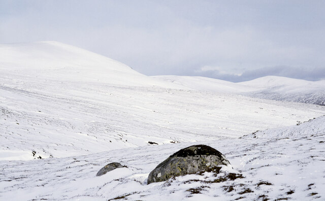
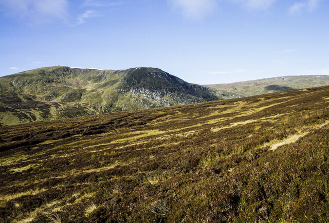
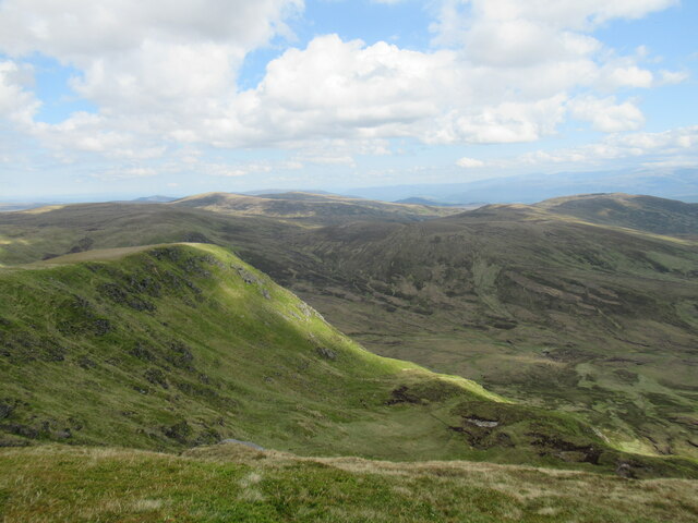
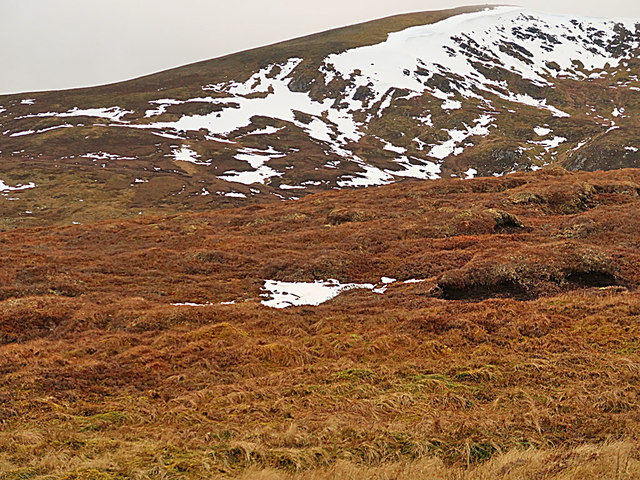
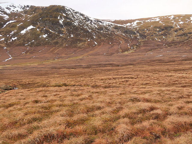
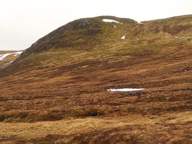
The valley is characterized by its rugged terrain, with steep slopes and towering mountains surrounding it. The most prominent feature of Coire na Caillich is its stunning corrie, or glacial hollow, which was formed thousands of years ago during the last Ice Age. This corrie, with its dramatic cliffs and scree slopes, provides a magnificent backdrop to the valley.
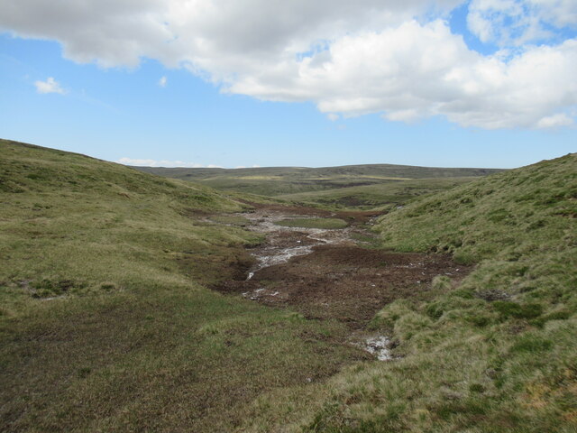
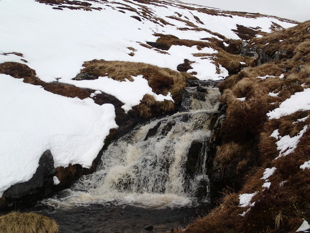
The valley is also home to a number of pristine lochs and rivers, including Loch Beinn a' Mheadhoin and the River Affric. These bodies of water not only add to the beauty of the landscape but also provide opportunities for water-based activities such as fishing and boating.
Coire na Caillich is a haven for wildlife enthusiasts, as it is home to a diverse range of flora and fauna. The valley is renowned for its birdlife, with species such as golden eagles and peregrine falcons frequently spotted soaring above. Red deer, mountain hares, and otters are some of the mammal species that can be found in the area.
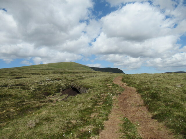
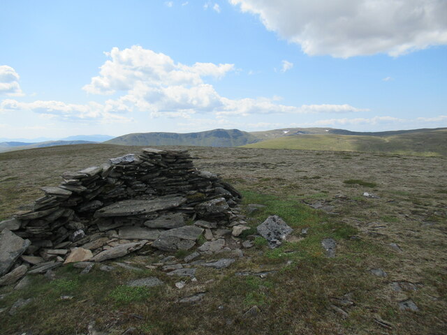
For outdoor enthusiasts, Coire na Caillich offers a plethora of activities. Hiking is particularly popular, with a variety of trails available to suit all levels of experience. The valley also attracts climbers and mountaineers, who are drawn to the challenging peaks that surround it.
In summary, Coire na Caillich is a truly remarkable valley in Inverness-shire, Scotland. With its stunning landscapes, diverse wildlife, and range of outdoor activities, it is a must-visit destination for nature lovers and adventure seekers alike.
If you have any feedback on the listing, please let us know in the comments section below.
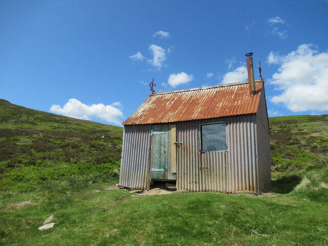
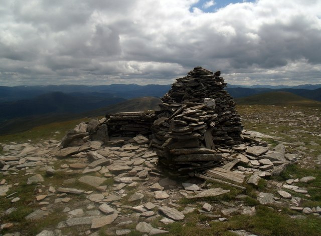
Coire na Caillich Images
Images are sourced within 2km of 57.110102/-4.1726353 or Grid Reference NH6804. Thanks to Geograph Open Source API. All images are credited.


Coire na Caillich is located at Grid Ref: NH6804 (Lat: 57.110102, Lng: -4.1726353)
Unitary Authority: Highland
Police Authority: Highlands and Islands
What 3 Words
///carry.detergent.perfume. Near Newtonmore, Highland
Nearby Locations
Related Wikis
A' Chailleach (Monadhliath Mountains)
A' Chailleach (Scottish Gaelic for 'the old woman or Cailleach') is one of the Monadhliath Mountains of Scotland. It lies 7 km (4.3 mi) northwest of Newtonmore...

Càrn Dearg, Monadh Liath
Càrn Dearg is the highest peak of the Monadh Liath mountains in the Highlands of Scotland. Its eastern flanks slope steeply down into Glen Ballach, while...
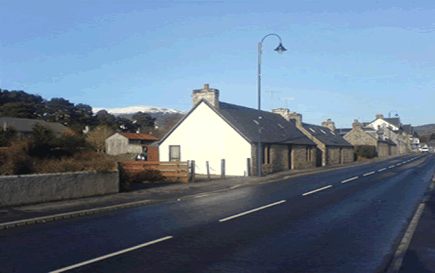
Newtonmore
Newtonmore (Scottish Gaelic: Baile Ùr an t-Slèibh [ˈpˠalʲ uːɾˠ ən̪ˠ ˈt̪ʰlʲeːv]) is a village in the Highland council area of Scotland. The village is only...
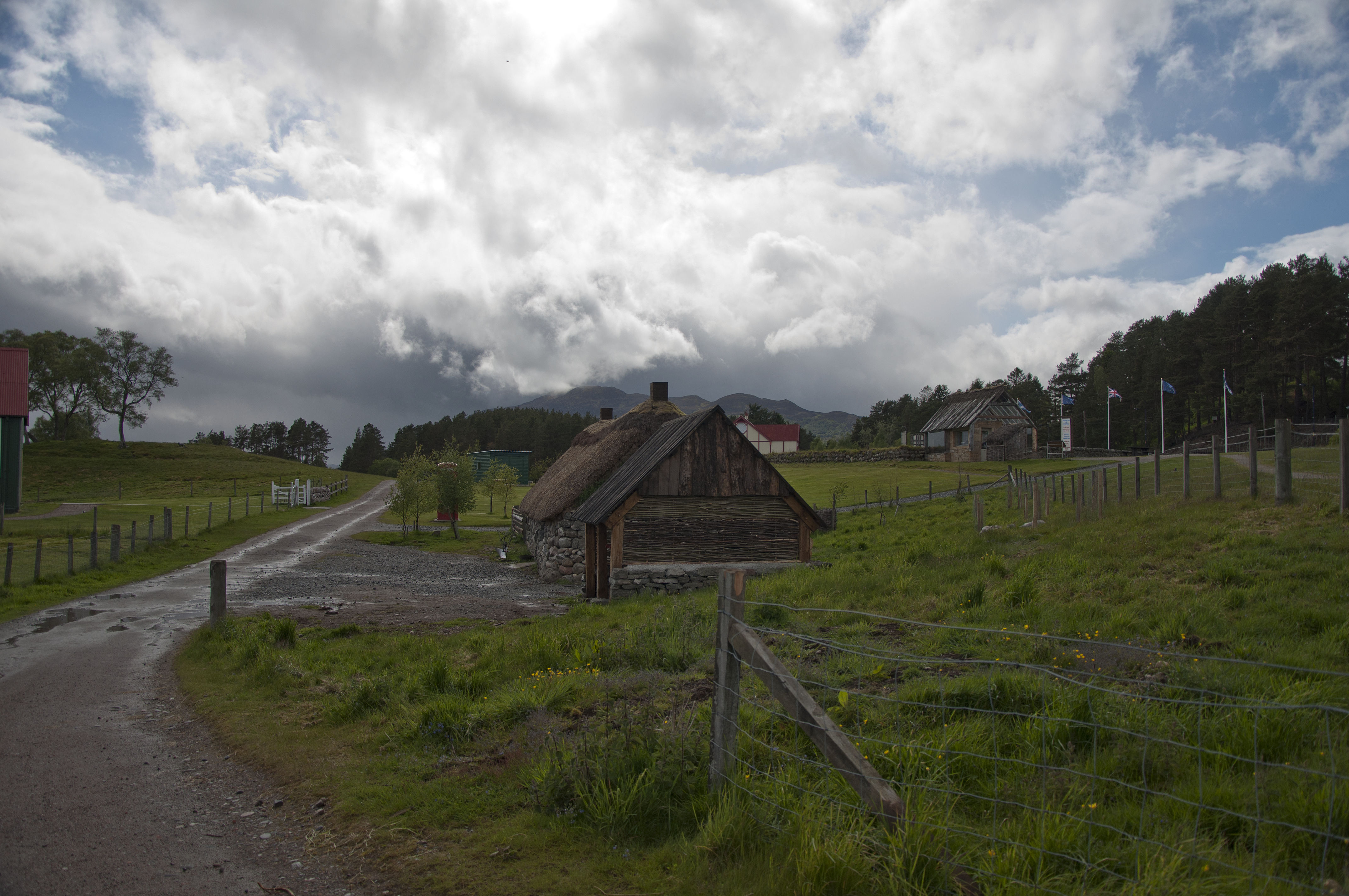
Highland Folk Museum
The Highland Folk Museum is a museum and an open-air visitor attraction in Newtonmore in Badenoch and Strathspey in the Scottish Highlands, United Kingdom...
Nearby Amenities
Located within 500m of 57.110102,-4.1726353Have you been to Coire na Caillich?
Leave your review of Coire na Caillich below (or comments, questions and feedback).