Cnoc Eilean nan Gall

Hill, Mountain in Sutherland

Scotland

Cnoc Eilean nan Gall

The footpath to Invernaver After crossing the ridge the path peters out on the flat, sand-smothered plain beside the Naver estuary.
The footpath to Invernaver Credit: Karl and Ali

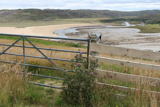
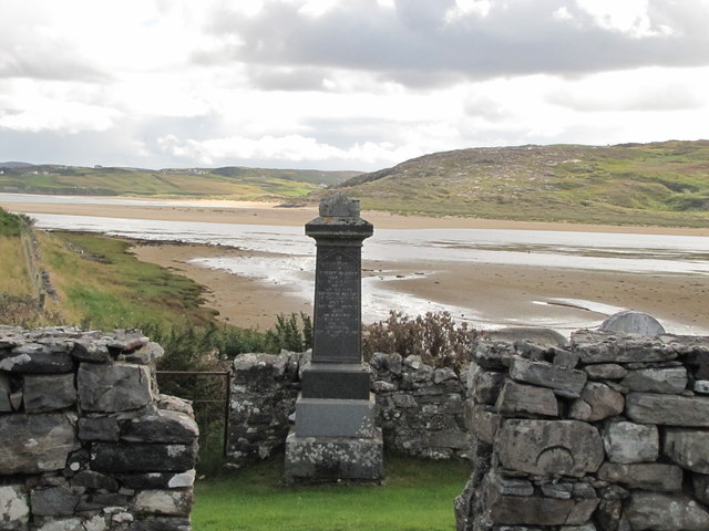
Cnoc Eilean nan Gall is a prominent hill located in Sutherland, Scotland. Standing at an elevation of 227 meters (744 feet), it offers stunning panoramic views of the surrounding countryside and nearby Loch Eriboll. The hill is known for its distinctive shape, with a rounded summit that is easily accessible to hikers and climbers.

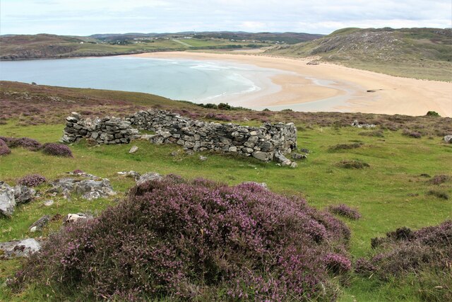
Cnoc Eilean nan Gall is a popular destination for outdoor enthusiasts, offering a variety of walking and hiking routes to suit all abilities. The hill is surrounded by rugged moorland and heather, providing a picturesque backdrop for visitors to enjoy.

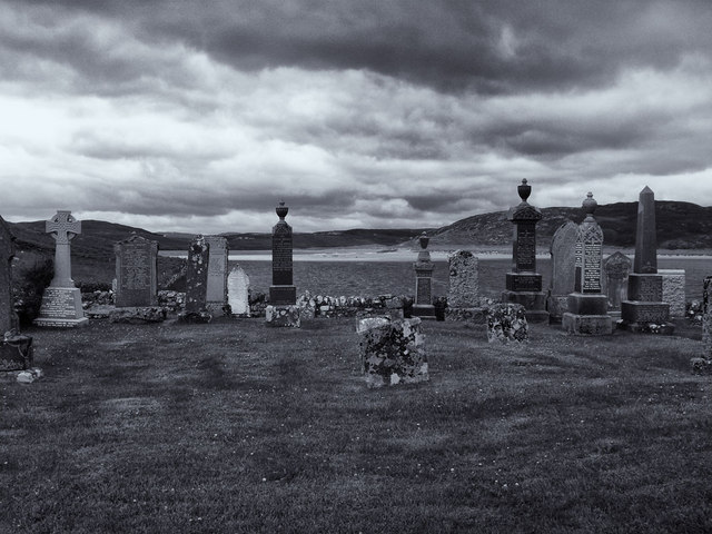
The name "Cnoc Eilean nan Gall" translates to "Hill of the Island of the Foreigner" in Gaelic, reflecting the historical significance of the area. The hill is steeped in history, with evidence of ancient settlements and burial sites scattered throughout the surrounding landscape.

Overall, Cnoc Eilean nan Gall is a must-visit destination for those looking to explore the natural beauty and rich history of the Scottish Highlands.

If you have any feedback on the listing, please let us know in the comments section below.

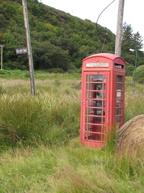
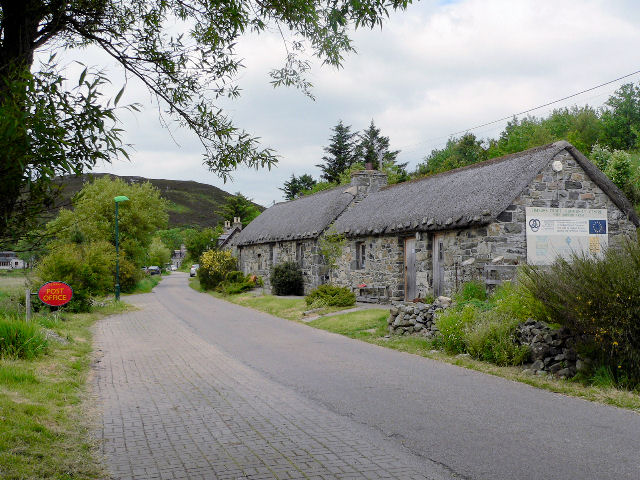
Cnoc Eilean nan Gall Images

Images are sourced within 2km of 58.513163/-4.2653372 or Grid Reference NC6860. Thanks to Geograph Open Source API. All images are credited.

The footpath to Invernaver After crossing the ridge the path peters out on the flat, sand-smothered plain beside the Naver estuary.
The footpath to Invernaver
After crossing the ridge the path peters out on the flat, sand-smothered plain beside the Naver estuary.
Cottages at Deepburn, Borgie
Mouth of River Borgie
A ruin with a view, Torrisdale Bay
River Borgie near outflow in Torrisdale Bay
Beach and dunes, Invernaver The mouth of the River Naver, which like many large rivers has brought down a lot of material for building dune systems.
Beach and dunes, Invernaver
The mouth of the River Naver, which like many large rivers has brought down a lot of material for building dune systems.
Postbox at Skerray KW14 32. Royal Mail list this box as 'Skerray'.
Postbox at Skerray
KW14 32. Royal Mail list this box as 'Skerray'.
Loch an Tigh-choimhid A loch south of Skerray.
Loch an Tigh-choimhid
A loch south of Skerray.
Graveyard at Skerray
Cottage under reconstruction
River Borgie Estuary Viewed from the cemetery, the River Borgie flows out into the Torrisdale Bay.
River Borgie Estuary
Viewed from the cemetery, the River Borgie flows out into the Torrisdale Bay.
Telephone Box & sign Whilst the number of iconic red phone boxes dwindles there are even fewer with the "Telephone " roadside sign.  At Skerray there is also a "Telegraph" sign on the old Post Office.
Telephone Box & sign
Whilst the number of iconic red phone boxes dwindles there are even fewer with the "Telephone " roadside sign. At Skerray there is also a "Telegraph" sign on the old Post Office.
A novel use for a redundant bus shelter, Torrisdale Some local residents are using the old Highland Council shelter as a greenhouse. Should be a good crop of tomatoes with the recent hot weather!
A novel use for a redundant bus shelter, Torrisdale
Some local residents are using the old Highland Council shelter as a greenhouse. Should be a good crop of tomatoes with the recent hot weather!
Road south of Torrisdale
On the footpath to Invernaver Beyond the flat moss the vague path rises over the Druim Chuibhe close by the line of electricity poles.
On the footpath to Invernaver
Beyond the flat moss the vague path rises over the Druim Chuibhe close by the line of electricity poles.
Lochan Druim an Dùin A sizeable lochan on the ridge of Druim Chuibhe close to the Invernaver footpath. On the far ridge sand can be seen which has been blown up from the beaches over 100m below.
Lochan Druim an Dùin
A sizeable lochan on the ridge of Druim Chuibhe close to the Invernaver footpath. On the far ridge sand can be seen which has been blown up from the beaches over 100m below.
Inner wall of the broch on Druim Chuibhe Much of the outer wall and defences of the Pictish broch are obscured or fallen down but the lower courses of the inner wall still stand. It still commands a fine view over the estuary of the River Naver.
Inner wall of the broch on Druim Chuibhe
Much of the outer wall and defences of the Pictish broch are obscured or fallen down but the lower courses of the inner wall still stand. It still commands a fine view over the estuary of the River Naver.
Torrisdale Beach A beautifully clean and quiet strand. We saw no-one else here possibly due to the relatively long walk in. Looking towards Aird Torrisdale.
Torrisdale Beach
A beautifully clean and quiet strand. We saw no-one else here possibly due to the relatively long walk in. Looking towards Aird Torrisdale.
Show me another place!

Cnoc Eilean nan Gall is located at Grid Ref: NC6860 (Lat: 58.513163, Lng: -4.2653372)

Unitary Authority: Highland

Police Authority: Highlands and Islands

What 3 Words

///outdoor.typically.snails. Near Forsinard, Highland

Related Wikis

Torrisdale, Sutherland

Torrisdale is a remote hamlet on the western shore of Torrisdale Bay in Sutherland, Highland, on the north coast of Scotland. It is 3 kilometres (2 mi...

Baile Mhargaite (Sandy Dun)

Baile Mhargaite (also known as Lochan Druim An Duin, the Sandy Dun, or Invernaver Broch) is an Iron Age broch in Strathnaver, Sutherland. It is a scheduled...

Achtoty

Achtoty (Scottish Gaelic: Achadh Toitidh) is a remote hamlet in the Scottish Highland Council area. Achtoty is about 26 miles (42 km) west of Thurso....

Achina, Highland

Achina is a village in Highland, Scotland. == References ==

Nearby Amenities

Located within 500m of 58.513163,-4.2653372
Power: pole
Lat/Long: 58.5159585/-4.2691478
Power: pole
Lat/Long: 58.5171855/-4.2617431
Power: pole
Lat/Long: 58.5169541/-4.2681413
Power: pole
Lat/Long: 58.5153406/-4.2697905
Power: pole
Lat/Long: 58.5130705/-4.2711362
Power: pole
Lat/Long: 58.5124785/-4.271501
Power: pole
Lat/Long: 58.5112822/-4.2719449
The data included in this document is from www.openstreetmap.org. The data is made available under ODbL.

Have you been to Cnoc Eilean nan Gall?

Leave your review of Cnoc Eilean nan Gall below (or comments, questions and feedback).