Altry Hill
Hill, Mountain in Kirkcudbrightshire
Scotland
Altry Hill
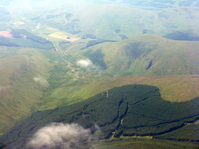
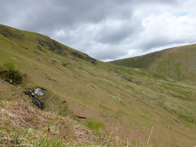
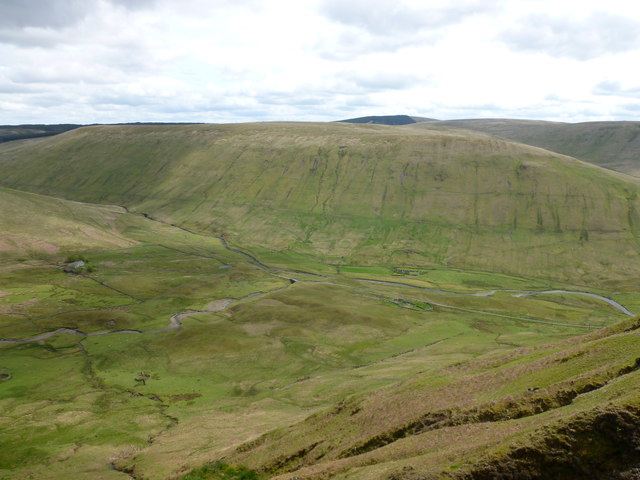
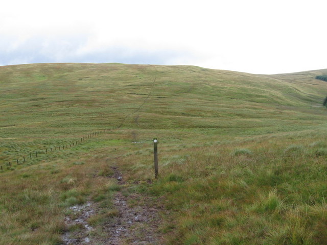
Altry Hill, located in Kirkcudbrightshire, is a prominent hill that stands at an elevation of approximately 176 meters (577 feet). Situated in the southern region of Scotland, this hill offers a stunning panorama of the surrounding landscape. Altry Hill is roughly 3 kilometers (1.9 miles) southeast of the town of Kirkcudbright, making it easily accessible for locals and visitors alike.
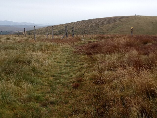
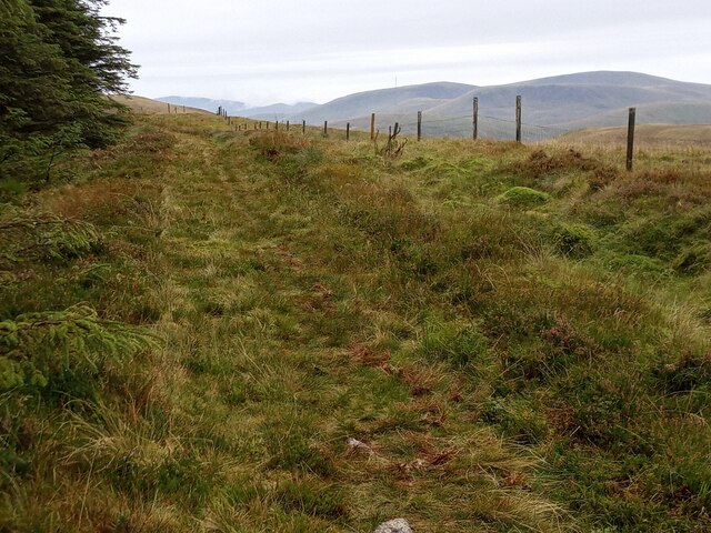
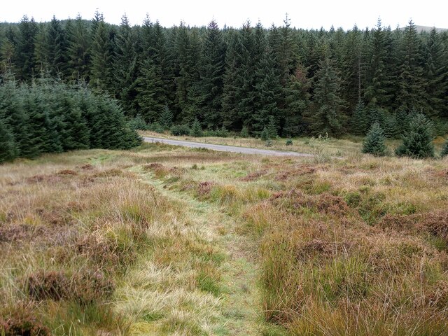
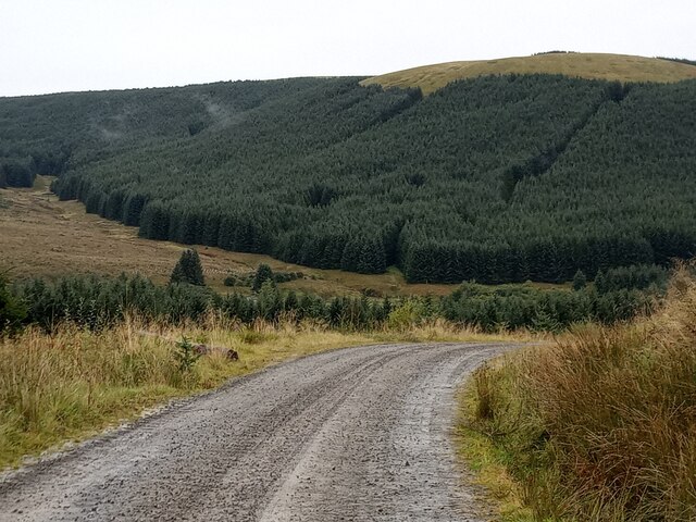
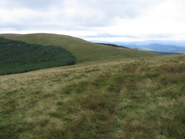
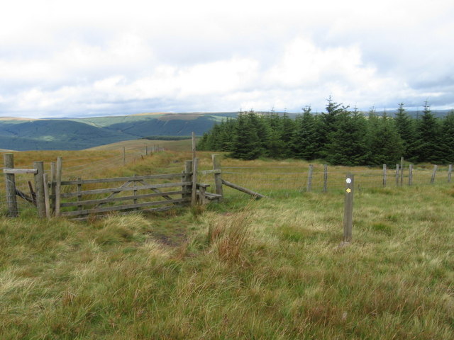
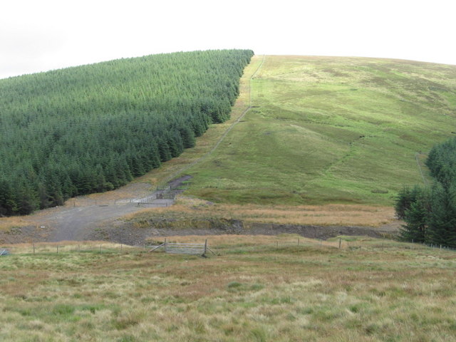
The hill is characterized by its gently sloping sides, covered in lush green vegetation and dotted with scattered trees. Its summit offers breathtaking views of the picturesque countryside, with rolling hills, farmland, and patches of dense woodland stretching as far as the eye can see. On a clear day, it is even possible to catch glimpses of the Solway Firth, adding an extra touch of beauty to the panorama.
Altry Hill is a popular spot for outdoor enthusiasts, attracting hikers, walkers, and nature lovers. Its relatively moderate gradient makes it suitable for people of all fitness levels, and there are several well-marked trails leading to the summit. The hill is also home to a variety of wildlife, including birds, small mammals, and occasional grazing sheep.
Visitors to Altry Hill can expect a peaceful and tranquil experience, immersing themselves in the natural beauty of the Scottish countryside. Whether it's a leisurely stroll or a more challenging hike, Altry Hill offers a rewarding escape into nature, allowing visitors to appreciate the stunning landscapes that Kirkcudbrightshire has to offer.
If you have any feedback on the listing, please let us know in the comments section below.
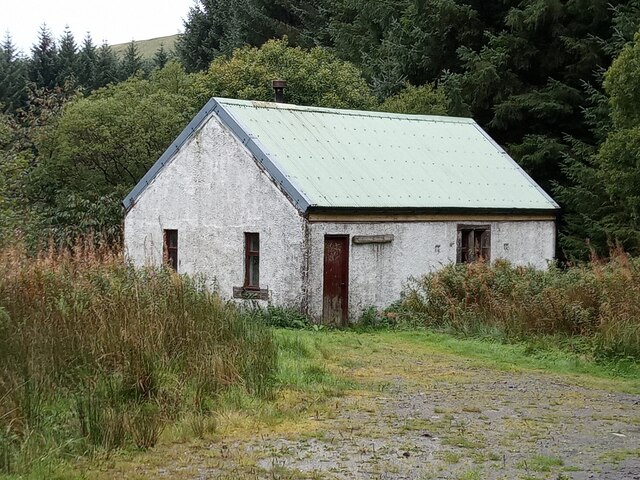
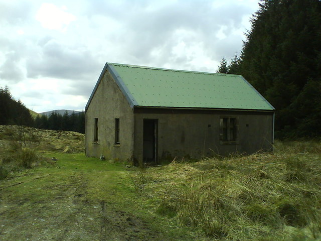
Altry Hill Images
Images are sourced within 2km of 55.278523/-4.0847416 or Grid Reference NS6700. Thanks to Geograph Open Source API. All images are credited.


Altry Hill is located at Grid Ref: NS6700 (Lat: 55.278523, Lng: -4.0847416)
Unitary Authority: Dumfries and Galloway
Police Authority: Dumfries and Galloway
What 3 Words
///think.aunts.anthems. Near Kirkconnel, Dumfries & Galloway
Nearby Locations
Related Wikis

Windy Standard
Windy Standard is a hill in the Carsphairn and Scaur Hills range, part of the Southern Uplands of Scotland. It lies in Dumfries and Galloway, south of...

Blackcraig Hill
Blackcraig Hill is a hill in the Carsphairn and Scaur Hills range, part of the Southern Uplands of Scotland. It lies southeast of the town of New Cumnock...

Carsphairn and Scaur Hills
The Carsphairn and Scaur Hills are the western and eastern hills respectively of a hill range in the Southern Uplands of Scotland. Ordnance Survey maps...

Cairnsmore of Carsphairn
Cairnsmore of Carsphairn is a hill in the Carsphairn and Scaur Hills range, part of the Southern Uplands of Scotland. An alternative name, rarely used...
Have you been to Altry Hill?
Leave your review of Altry Hill below (or comments, questions and feedback).