Kempleton Hill

Hill, Mountain in Kirkcudbrightshire

Scotland

Kempleton Hill

The Doon and old fort West of Twynholm Why is it that a fair number of old hill forts etc are tree-enshrouded?
The Doon and old fort West of Twynholm Credit: Kirsty Smith

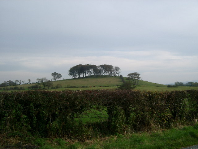
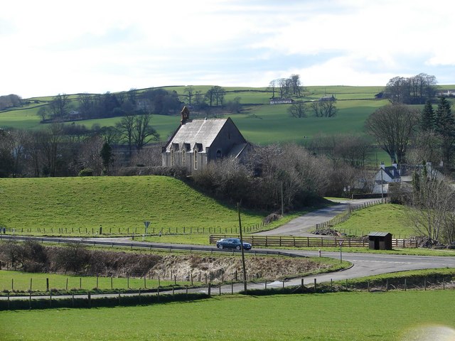
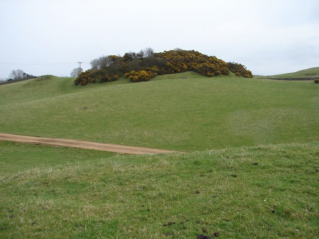
Kempleton Hill is a prominent hill located in the region of Kirkcudbrightshire, in southwestern Scotland. Situated near the village of Carsluith, this hill rises to an elevation of approximately 317 meters (1,040 feet), making it a notable landmark in the area.

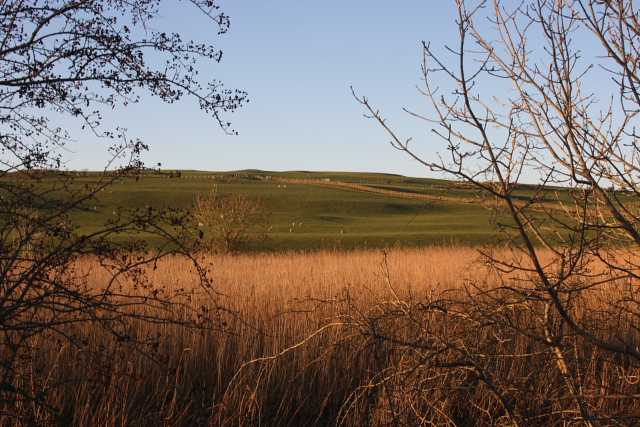
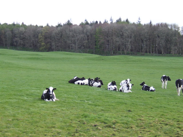
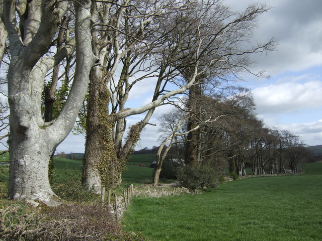
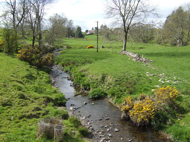
The hill is characterized by its rounded shape and gentle slopes, covered in grass and heather, which give it a picturesque appearance. From its summit, visitors can enjoy breathtaking panoramic views of the surrounding countryside, including the rolling hills, farmland, and nearby Solway Firth.

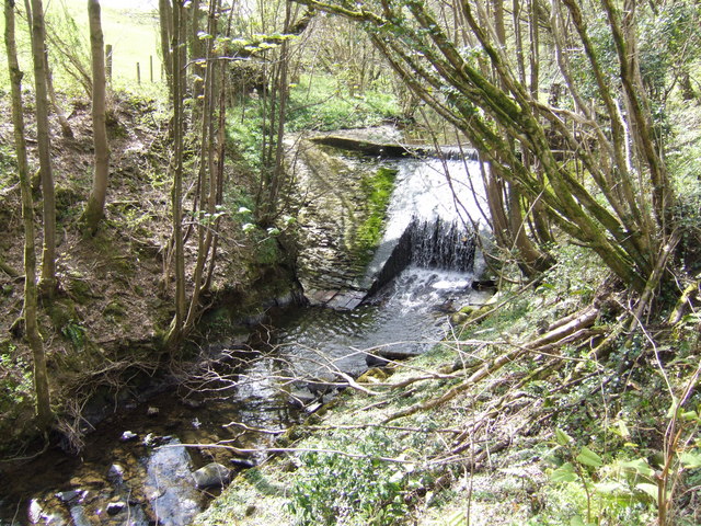
Kempleton Hill is a popular destination for outdoor enthusiasts, offering a range of activities such as hillwalking, hiking, and birdwatching. Several well-marked trails traverse the hill, allowing visitors to explore its diverse flora and fauna. The area is home to a variety of bird species, including buzzards, kestrels, and pheasants, making it a haven for birdwatchers.

In addition to its natural beauty, Kempleton Hill also holds historical significance. The hill is believed to have been a site of human occupation since ancient times, with evidence of prehistoric settlements found in the surrounding area. Archaeological remains, including stone circles and burial mounds, have been discovered nearby, adding to the hill's cultural heritage.

Overall, Kempleton Hill is a captivating destination, offering a combination of stunning natural landscapes, recreational opportunities, and a glimpse into the region's rich history. Whether one seeks outdoor adventures or simply a serene escape, this hill in Kirkcudbrightshire provides a memorable experience for all who visit.

If you have any feedback on the listing, please let us know in the comments section below.

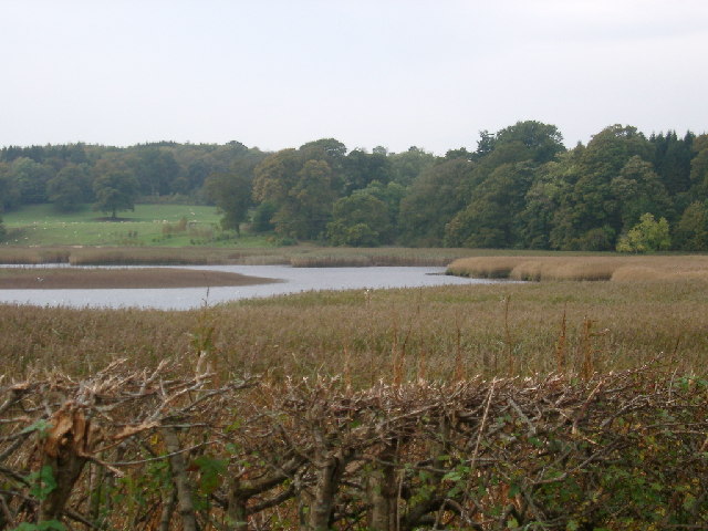
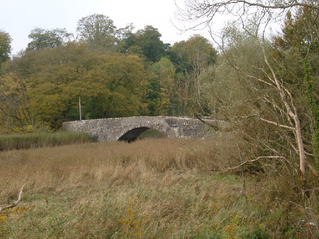
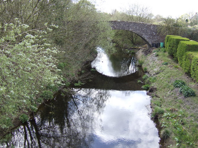
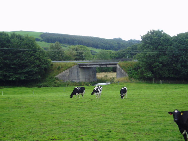
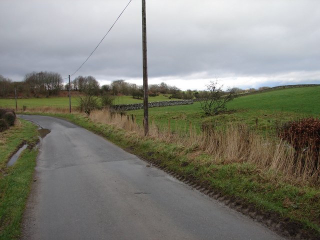
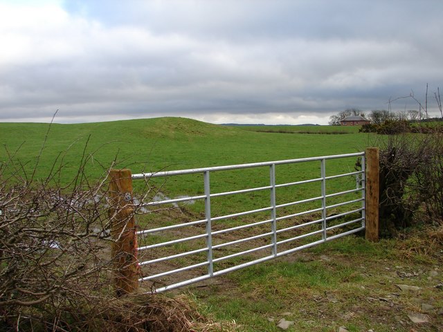
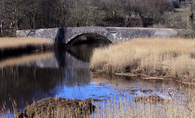
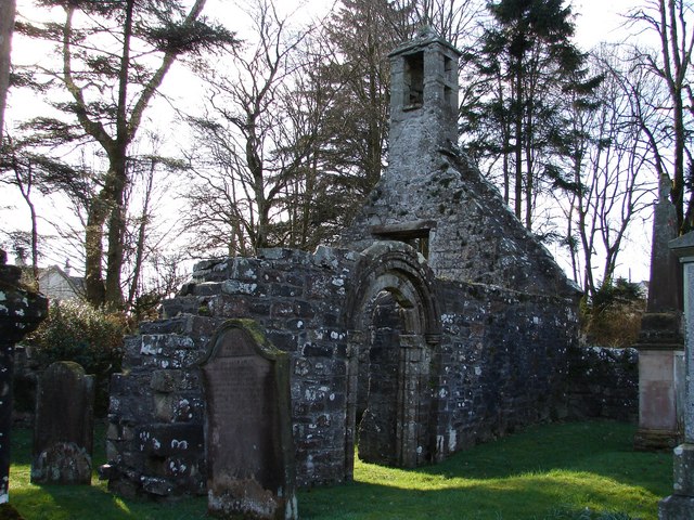
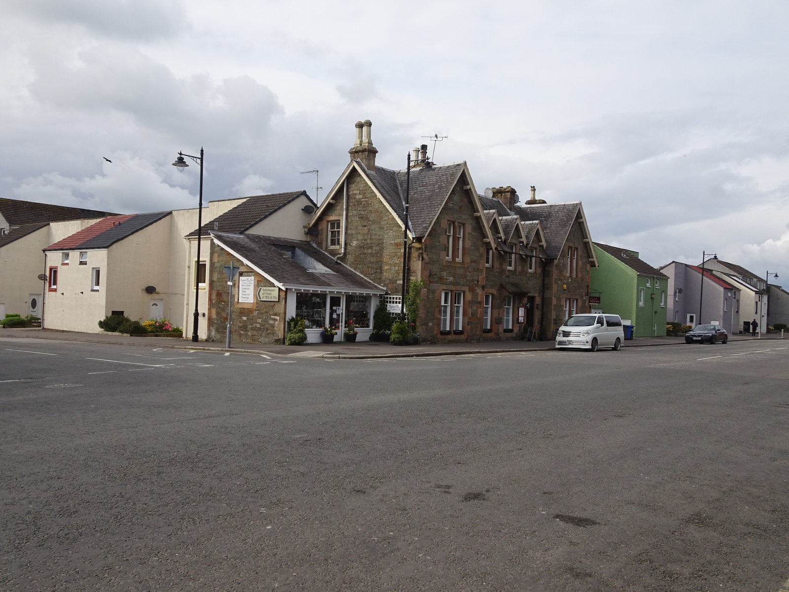
Kempleton Hill Images

Images are sourced within 2km of 54.868507/-4.063552 or Grid Reference NX6754. Thanks to Geograph Open Source API. All images are credited.

The Doon and old fort West of Twynholm Why is it that a fair number of old hill forts etc are tree-enshrouded?
The Doon and old fort West of Twynholm
Why is it that a fair number of old hill forts etc are tree-enshrouded?
Tarff Water near Tongland Reedbeds near Tarff Water's junction with River Dee at Puldroit
Tarff Water near Tongland
Reedbeds near Tarff Water's junction with River Dee at Puldroit
Low Bridge of Tarff nr Tongland Crossing the Tarff Water not far upstream from its confluence with the River Dee upstream from Kirkcudbright
Low Bridge of Tarff nr Tongland
Crossing the Tarff Water not far upstream from its confluence with the River Dee upstream from Kirkcudbright
Reeds and Pasture at  Ingleston Farm Looking NW from the road between Twynholm and the Cleugh, about 300 yards SSW of Ingleston.
Reeds and Pasture at Ingleston Farm
Looking NW from the road between Twynholm and the Cleugh, about 300 yards SSW of Ingleston.
Tongland Bridge, Kirkcudbright This is Thomas Telford's first major Scottish bridge.It was completed in 1806 at a cost of £7710.
Tongland Bridge, Kirkcudbright
This is Thomas Telford's first major Scottish bridge.It was completed in 1806 at a cost of £7710.
Cattle by Kirkland Cottage Woodhead Plantation is the wood in the background.
Cattle by Kirkland Cottage
Woodhead Plantation is the wood in the background.
Row of beeches by Cumstoun Mains The smooth grey bark stands out well.
Row of beeches by Cumstoun Mains
The smooth grey bark stands out well.
Old Mill Burn Looking from Ashland towards Twynholm.
Old Mill Burn
Looking from Ashland towards Twynholm.
Weir on the Old Mill Burn Glinting in the spring sunshine.
Weir on the Old Mill Burn
Glinting in the spring sunshine.
The Old Bridge of Tarff Pictured from where the military road crossed the river by the High Bridge of Tarff, this hump-backed bridge was built in the 18th century.
The Old Bridge of Tarff
Pictured from where the military road crossed the river by the High Bridge of Tarff, this hump-backed bridge was built in the 18th century.
A75 Road Bridge over the Tarff Water. This is the latest bridge to carry the Gretna-Stranraer Road over the Tarff Water and least attractive. The previous two having much more character.
A75 Road Bridge over the Tarff Water.
This is the latest bridge to carry the Gretna-Stranraer Road over the Tarff Water and least attractive. The previous two having much more character.
Glengap Road, Twynholm View NNW from the Glengap Road (Redfield) toward the coppices of Mains of Twynholm.
Glengap Road, Twynholm
View NNW from the Glengap Road (Redfield) toward the coppices of Mains of Twynholm.
Redfield View from the Glengap Road SE across the fields toward Redfield house.
Redfield
View from the Glengap Road SE across the fields toward Redfield house.
Valleyfield Church The former Tongland & Twynholm Free Church (1843) stands in the hamlet of Valleyfield in Tarff Valley, today by-passed by the A75 trunk road.
Valleyfield Church
The former Tongland & Twynholm Free Church (1843) stands in the hamlet of Valleyfield in Tarff Valley, today by-passed by the A75 trunk road.
Campbelltown Mote Campbelltown Mote is a small double-trenched fort on top of the hillock, best preserved at the north end. The track/footpath below runs from west Twynholm to Campbelton (modern spelling?).
Campbelltown Mote
Campbelltown Mote is a small double-trenched fort on top of the hillock, best preserved at the north end. The track/footpath below runs from west Twynholm to Campbelton (modern spelling?).
Twynholm Gardens Well tended gardens behind the David Coulthard Museum. Note the wooden racing car in the centre.
Twynholm Gardens
Well tended gardens behind the David Coulthard Museum. Note the wooden racing car in the centre.
David Coulthard Museum The David Coulthard Museum in Twynholm, an excellent place to spend a wet afternoon.
David Coulthard Museum
The David Coulthard Museum in Twynholm, an excellent place to spend a wet afternoon.
Low Bridge of Tarff Low bridge of Tarff, which crosses the Tarff Water.
Low Bridge of Tarff
Low bridge of Tarff, which crosses the Tarff Water.
Show me another place!

Kempleton Hill is located at Grid Ref: NX6754 (Lat: 54.868507, Lng: -4.063552)

Unitary Authority: Dumfries and Galloway

Police Authority: Dumfries and Galloway

What 3 Words

///depended.qualify.overused. Near Kirkcudbright, Dumfries & Galloway

Related Wikis

Twynholm

Twynholm () is a village in Scotland. It is located 2+1⁄4 miles (3.6 km) north-northwest of Kirkcudbright and 4+1⁄2 miles (7.2 km) east of Gatehouse of...

Tarff railway station

Tarff railway station served the village of Ringford, Dumfries and Galloway, Scotland from 1864 to 1965 on the Kirkcudbright Railway. == History == The...

Tongland

Tongland is a small village about 2 miles (3 km) north of Kirkcudbright, in the historic county of Kirkcudbrightshire in Dumfries and Galloway, Scotland...

Tongland Abbey

Tungland or Tongland Abbey was a Premonstratensian monastic community located in Tongland in the historical county of Kirkcudbrightshire in Dumfries and...

Ringford

Ringford is a village in the historical county of Kirkcudbrightshire in Dumfries and Galloway located at grid reference NX689578 beside the Tarff Water...

Kirkcudbright Railway

The Kirkcudbright Railway was a railway branch line linking Kirkcudbright to the Castle Douglas and Dumfries Railway at Castle Douglas. It opened in 1864...

Kirkcudbright railway station

Kirkcudbright railway station served the town of Kirkcudbright, Dumfries and Galloway, Scotland from 1864 to 1965 on the Kirkcudbright Railway. == History... ==

Broughton House

Broughton House is an 18th-century town house standing on the High Street of Kirkcudbright, Scotland. It was the home of Scots impressionist artist E....

Nearby Amenities

Located within 500m of 54.868507,-4.063552
Power: pole
Lat/Long: 54.8696743/-4.0565079
Power: pole
Lat/Long: 54.8702562/-4.0572267
Power: pole
Lat/Long: 54.8708769/-4.0580479
Power: pole
Lat/Long: 54.8714513/-4.0587909
Power: pole
Lat/Long: 54.8720259/-4.059563
Power: pole
Lat/Long: 54.8725805/-4.0602989
Power: pole
Lat/Long: 54.8657857/-4.0690017
Power: pole
Lat/Long: 54.8660667/-4.0679288
Power: pole
Lat/Long: 54.8663491/-4.0668961
Power: pole
Lat/Long: 54.8667397/-4.065386
Power: pole
Lat/Long: 54.8671271/-4.0639886
Power: pole
Lat/Long: 54.8674628/-4.0626529
Power: pole
Lat/Long: 54.8678332/-4.0612581
Power: pole
Lat/Long: 54.8684753/-4.058887
Power: pole
Lat/Long: 54.868338/-4.0575781
Power: pole
Lat/Long: 54.8682191/-4.0562773
Power: pole
Lat/Long: 54.8679987/-4.0712597
Power: pole
Lat/Long: 54.868635/-4.0701563
Power: pole
Lat/Long: 54.869321/-4.0689152
Power: pole
Lat/Long: 54.8697627/-4.0686726
Power: pole
Lat/Long: 54.8705855/-4.0682131
Power: pole
Lat/Long: 54.87154/-4.0676555
Power: pole
Lat/Long: 54.8721816/-4.0672706
Power: pole
Lat/Long: 54.8686795/-4.0560526
Power: pole
Lat/Long: 54.8680365/-4.0568429
Power: pole
Lat/Long: 54.8673677/-4.0576353
Power: pole
Lat/Long: 54.8670853/-4.0579646
Power: pole
Lat/Long: 54.8667797/-4.0574378
Power: pole
Lat/Long: 54.8663481/-4.0567112
The data included in this document is from www.openstreetmap.org. The data is made available under ODbL.

Have you been to Kempleton Hill?

Leave your review of Kempleton Hill below (or comments, questions and feedback).