Top Bank
Hill, Mountain in Cardiganshire
Wales
Top Bank
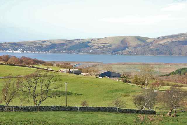
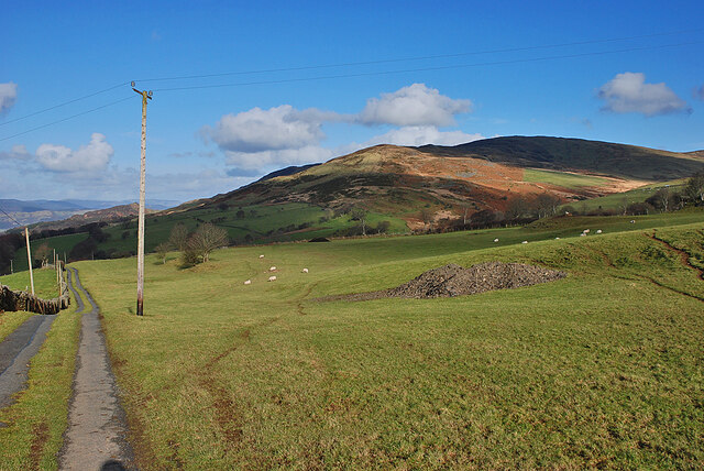
Top Bank is a prominent hill located in the picturesque region of Cardiganshire, Wales. With an elevation of approximately 1,500 feet, it stands as one of the highest peaks in the area, offering breathtaking views of the surrounding landscape.
Situated within the Cambrian Mountains range, Top Bank boasts a diverse ecosystem, characterized by lush green meadows, dense woodlands, and rocky outcrops. The hill is predominantly covered in heather and grasses, which create a vibrant tapestry of colors during the summer months.
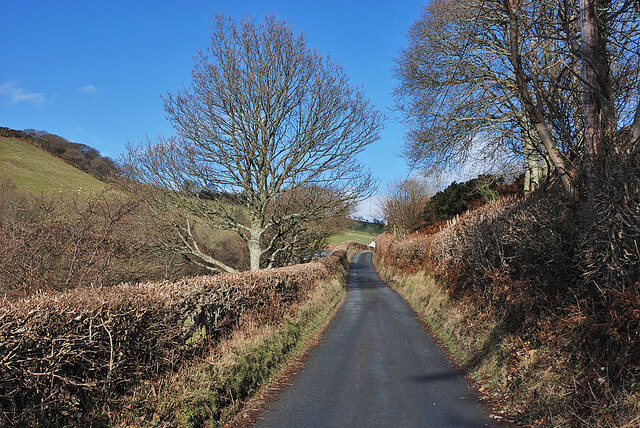
Access to the summit of Top Bank is facilitated by well-maintained footpaths, making it a popular destination for hikers and nature enthusiasts. The journey to the top is moderately challenging, rewarding visitors with panoramic vistas of the rolling hills, valleys, and rivers that stretch out beneath them.
The hill is also home to a variety of wildlife, including red kites, buzzards, and peregrine falcons. Birdwatchers often flock to Top Bank to catch a glimpse of these majestic creatures in their natural habitat. Additionally, the area supports a rich diversity of plant species, with numerous wildflowers and ferns dotting the landscape.
The surrounding region offers additional attractions for visitors, including charming villages, historical sites, and nature reserves. Cardiganshire is renowned for its unspoiled beauty, and Top Bank stands as a testament to the region's natural splendor. Whether one seeks adventure, tranquility, or breathtaking scenery, Top Bank is sure to leave an indelible impression on all who visit.
If you have any feedback on the listing, please let us know in the comments section below.
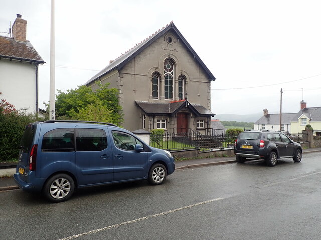
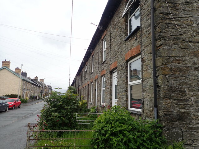
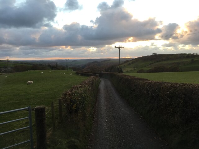
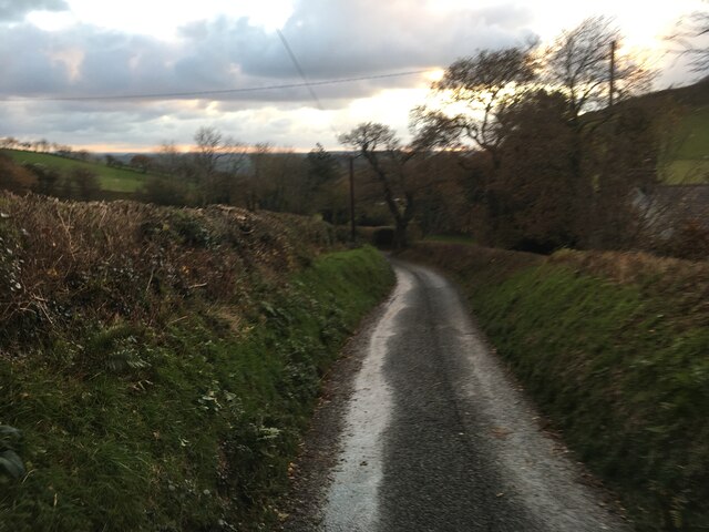
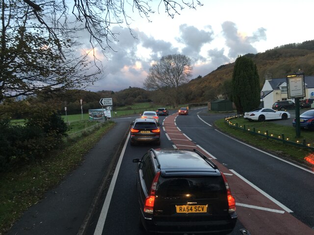
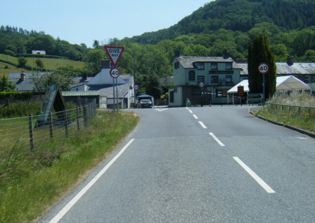
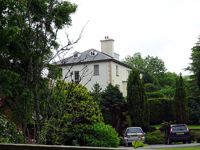
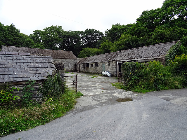
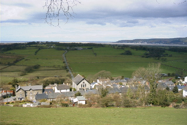
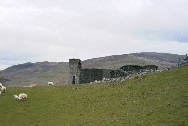
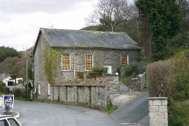
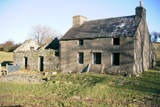
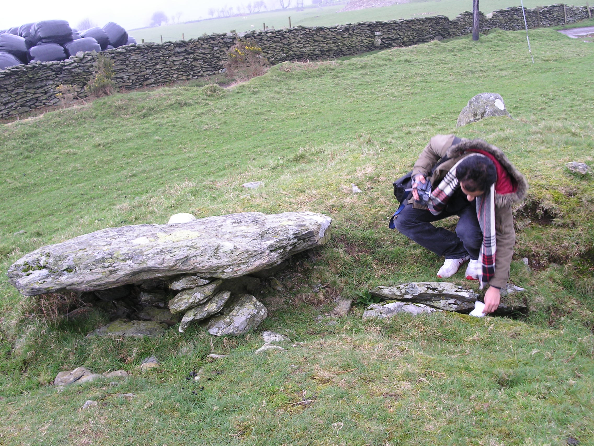
Top Bank Images
Images are sourced within 2km of 52.500107/-3.955629 or Grid Reference SN6790. Thanks to Geograph Open Source API. All images are credited.
Top Bank is located at Grid Ref: SN6790 (Lat: 52.500107, Lng: -3.955629)
Unitary Authority: Ceredigion
Police Authority: Dyfed Powys
What 3 Words
///everybody.acoustics.daylight. Near Borth, Ceredigion
Nearby Locations
Related Wikis
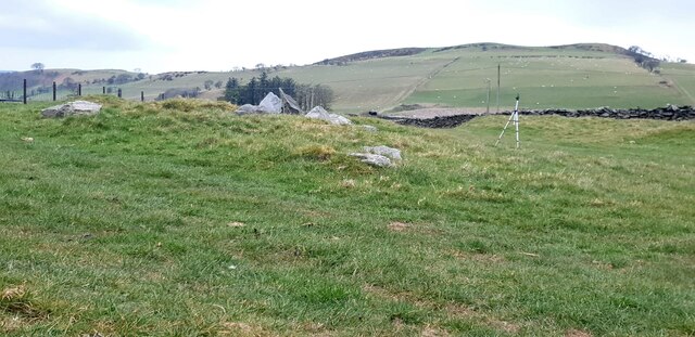
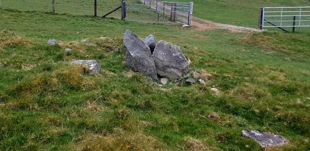
Bedd Taliesin
Bedd Taliesin is the legendary grave (bedd) of the poet Taliesin, located in Ceredigion, Wales. The Bronze Age round cairn is a listed Historic Monument...

Coed Cwm Clettwr
Coed Cwm Clettwr is a Site of Special Scientific Interest in Ceredigion, west Wales. It is designated for mature broadleaf woodland.The alternative spelling...

Tre-Taliesin
Tre-Taliesin is a village in Ceredigion on the A487 road, 9 miles north of Aberystwyth, Wales, and 9 miles south of Machynlleth. It is in the parish of...

Tal-y-bont, Ceredigion
Tal-y-bont (Welsh pronunciation: [ˌtal ə ˈbɔnt]) (also known as Talybont) is a village in Ceredigion, Wales, located on the A487 road about halfway between...
Llangynfelyn
Llangynfelyn is both a parish and a community in Ceredigion, Wales, midway between Aberystwyth and Machynlleth. It stretches from the Leri estuary in...
Neuaddyrynys
Neuaddyrynys is a small village in the community of Llangynfelyn, Ceredigion, Wales, which is 78.9 miles (127 km) from Cardiff and 178.2 miles (286.7...
Craig-y-penrhyn
Craig-y-penrhyn is a hamlet in the community of Llangynfelyn, Ceredigion, Wales, which is 79.3 miles (127.7 km) from Cardiff and 178.1 miles (286.6 km...
Ceulanamaesmawr
Ceulanamaesmawr is a community in Ceredigion, Wales, consisting of Tal-y-bont, Bont-goch and the surrounding area. The total population at the United...
Nearby Amenities
Located within 500m of 52.500107,-3.955629Have you been to Top Bank?
Leave your review of Top Bank below (or comments, questions and feedback).