Glas Mheall Beag
Hill, Mountain in Perthshire
Scotland
Glas Mheall Beag
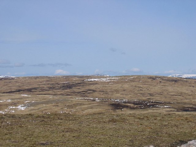
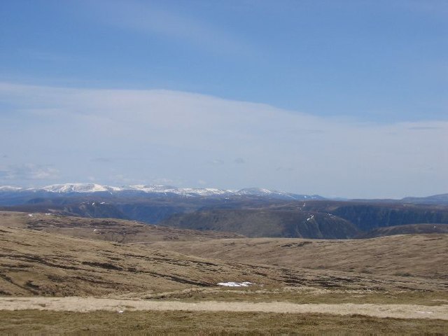
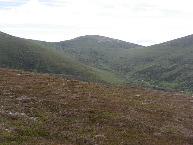
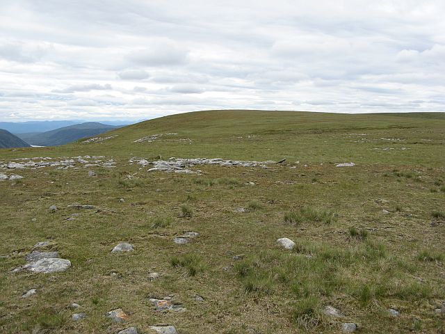
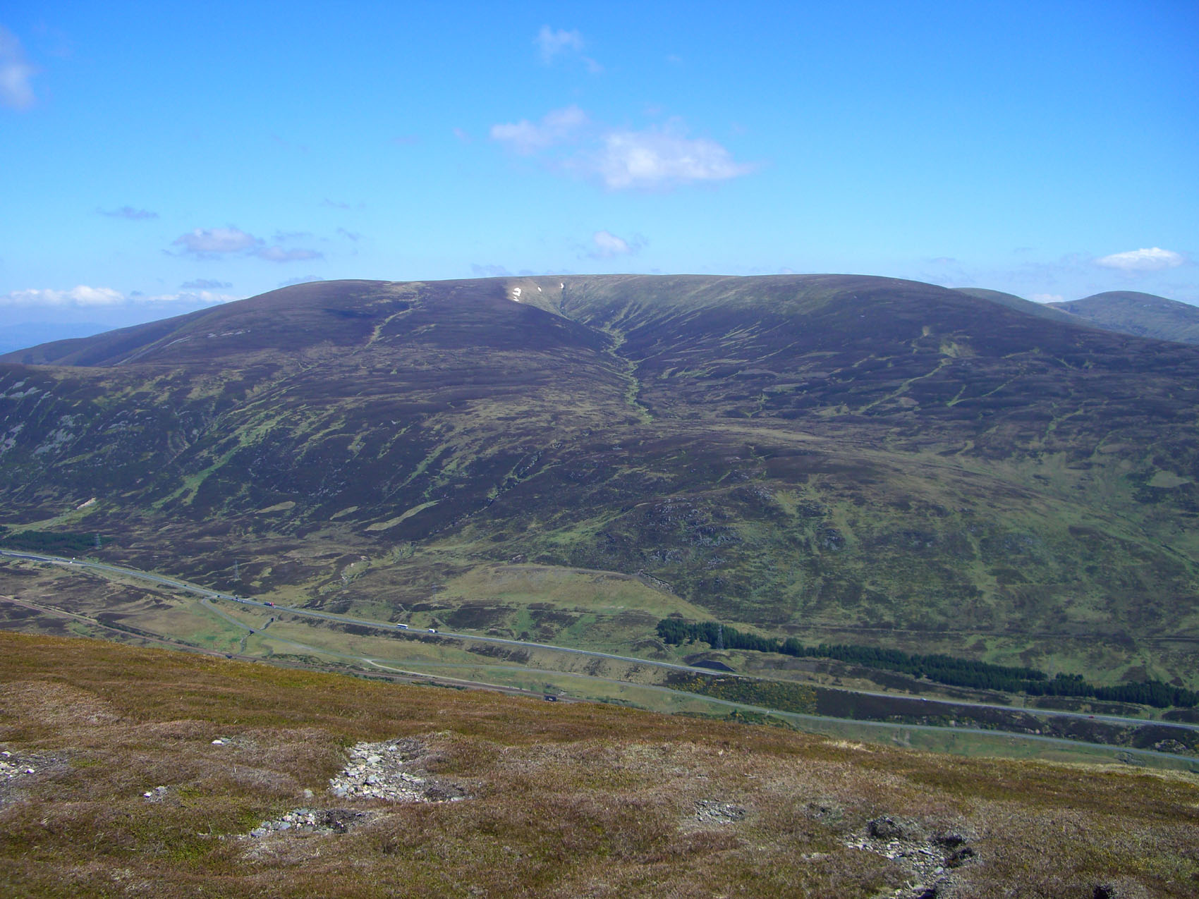
Glas Mheall Beag is a small hill located in Perthshire, Scotland. It is part of the Grampian Mountains and stands at an elevation of approximately 648 meters (2,126 feet). The hill is known for its stunning views of the surrounding countryside, including the nearby Loch Tay and Ben Lawers.
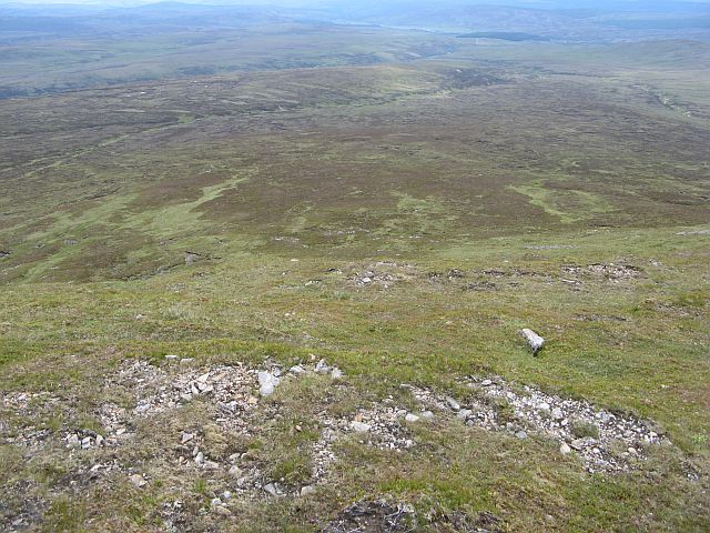
Glas Mheall Beag is a popular destination for hikers and outdoor enthusiasts, with a well-marked trail leading to the summit. The ascent is moderate in difficulty, making it suitable for hikers of all skill levels. The trail passes through heather-covered moorland and offers panoramic views of the surrounding mountains and valleys.
At the summit of Glas Mheall Beag, hikers are rewarded with breathtaking views of the surrounding landscape, including the picturesque village of Killin and the rugged peaks of the Grampian Mountains. On a clear day, it is possible to see as far as the Cairngorms in the distance.
Overall, Glas Mheall Beag is a beautiful and accessible destination for hikers looking to experience the natural beauty of Perthshire and the Scottish Highlands.
If you have any feedback on the listing, please let us know in the comments section below.
Glas Mheall Beag Images
Images are sourced within 2km of 56.853883/-4.1770121 or Grid Reference NN6775. Thanks to Geograph Open Source API. All images are credited.


Glas Mheall Beag is located at Grid Ref: NN6775 (Lat: 56.853883, Lng: -4.1770121)
Unitary Authority: Perth and Kinross
Police Authority: Tayside
What 3 Words
///mount.allies.puzzle. Near Blair Atholl, Perth & Kinross
Nearby Locations
Related Wikis
A' Bhuidheanach Bheag
A' Bhuidheanach Bheag is a Scottish mountain situated on the eastern side of the Pass of Drumochter, some 24 km WNW of Blair Atholl. The mountain straddles...
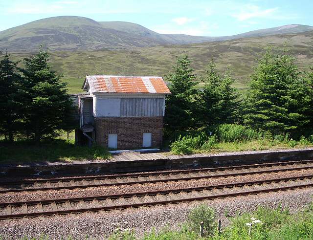
Dalnaspidal railway station
Dalnaspidal railway station served the burgh of Pitlochry, Perthshire, Scotland from 1864 to 1965 on the Inverness and Perth Junction Railway. == History... ==

Geographical centre of Scotland
There is some debate as to the location of the geographical centre of Scotland. This is due to different methods of calculating the centre, and whether...
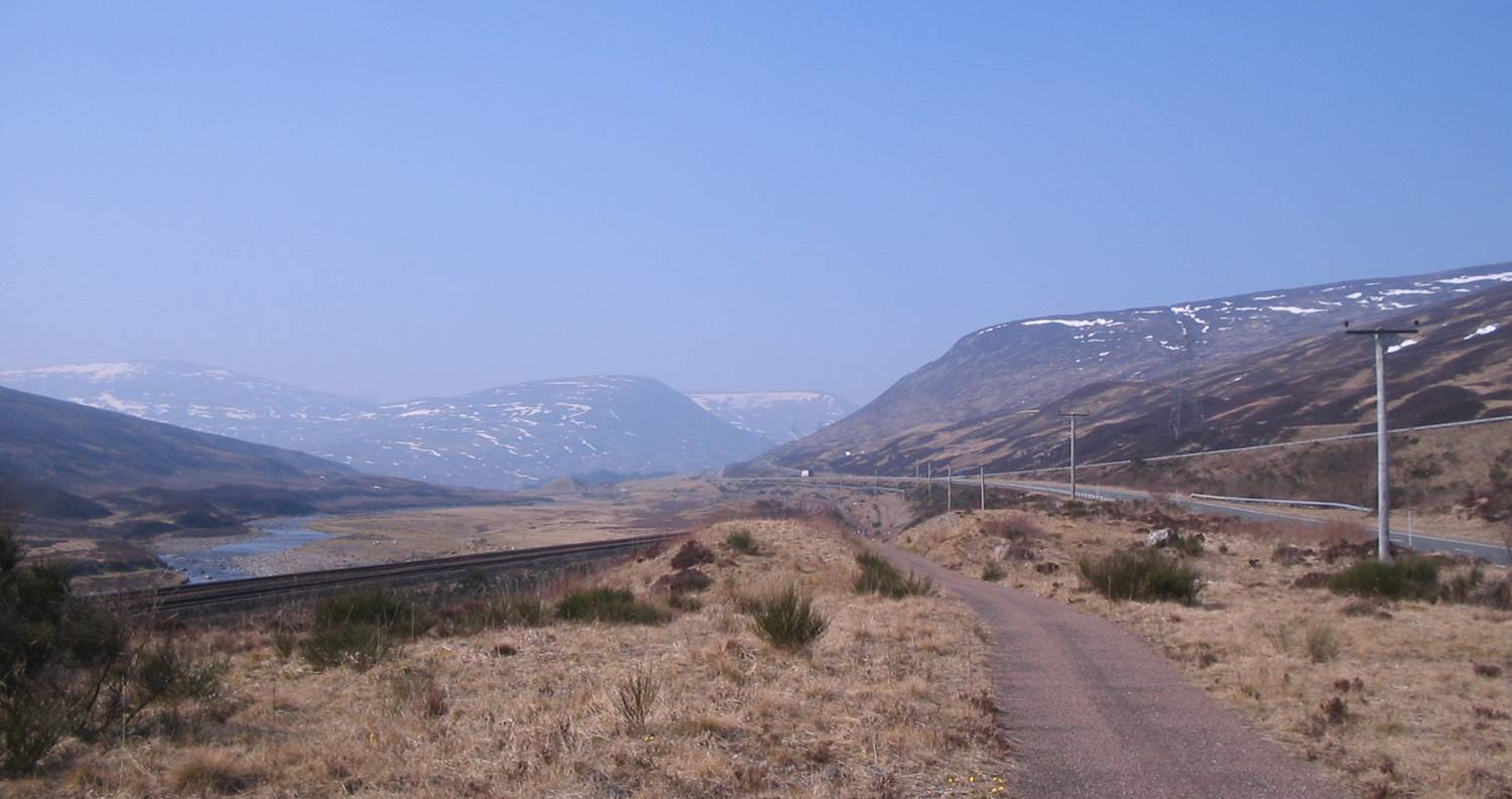
Pass of Drumochter
The Pass of Drumochter (Scottish Gaelic: Druim Uachdair) meaning simply 'high ridge' is the main mountain pass between the northern and southern central...
Nearby Amenities
Located within 500m of 56.853883,-4.1770121Have you been to Glas Mheall Beag?
Leave your review of Glas Mheall Beag below (or comments, questions and feedback).