Well Hill
Hill, Mountain in Kirkcudbrightshire
Scotland
Well Hill
Well Hill is a prominent hill located in the region of Kirkcudbrightshire in southwest Scotland. It is situated about 3 miles southeast of the town of Kirkcudbright and stands at an elevation of approximately 217 meters (712 feet) above sea level.
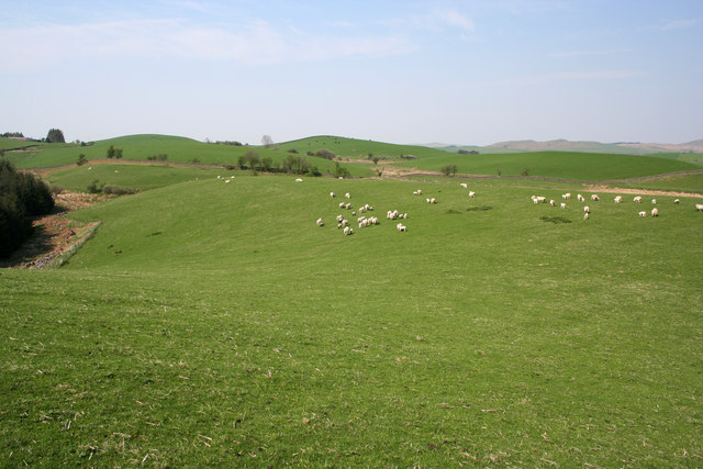
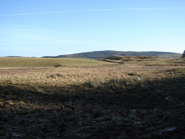
The hill is part of the Galloway Hills range, which is renowned for its stunning natural beauty and diverse wildlife. Well Hill offers breathtaking panoramic views of the surrounding countryside, including the picturesque Solway Firth and the rolling hills of Galloway. On clear days, it is even possible to see the distant peaks of the Lake District in England.
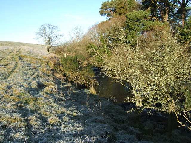
Covered in rich green vegetation, Well Hill is home to a variety of flora and fauna. The area is a haven for nature enthusiasts and birdwatchers, as it attracts a wide range of bird species, including buzzards, kestrels, and peregrine falcons.
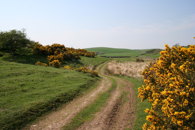
Well Hill is a popular destination for outdoor activities such as hiking and hillwalking. There are well-defined paths and trails that lead to the summit, making it accessible to both experienced climbers and casual walkers. The hill offers a challenging ascent, with steep sections and rocky terrain, adding to the sense of adventure.
Its location near Kirkcudbright also makes Well Hill easily accessible for visitors, who can enjoy the hill's natural beauty and tranquility while still being close to the amenities and attractions of the town. Overall, Well Hill is a captivating destination that showcases the rugged beauty of Kirkcudbrightshire and provides an enriching outdoor experience for all who visit.
If you have any feedback on the listing, please let us know in the comments section below.
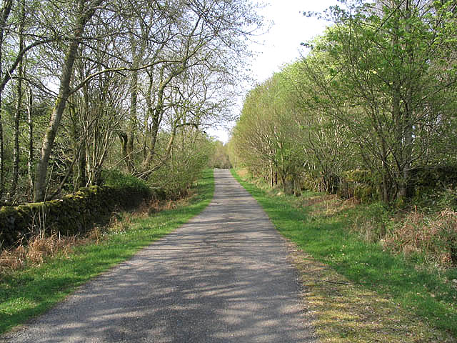
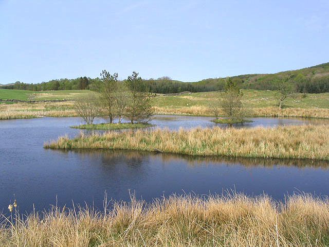
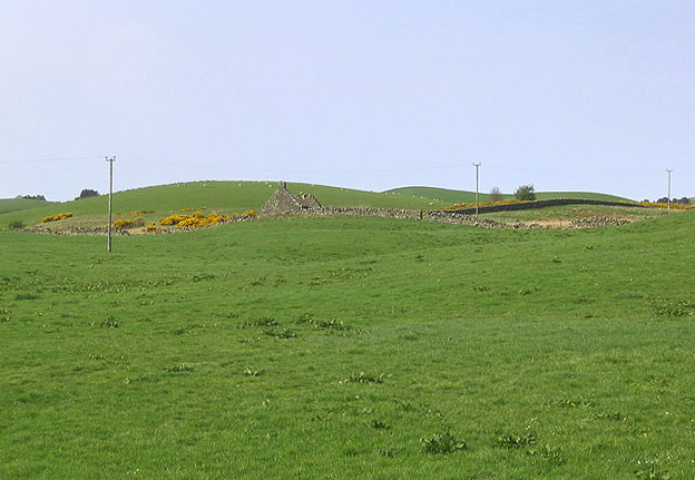
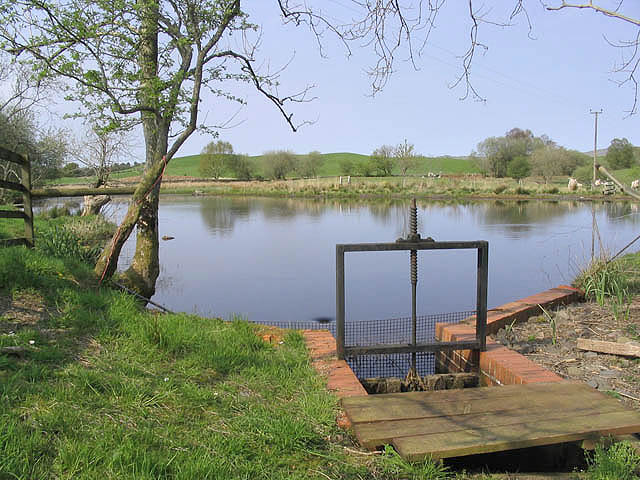
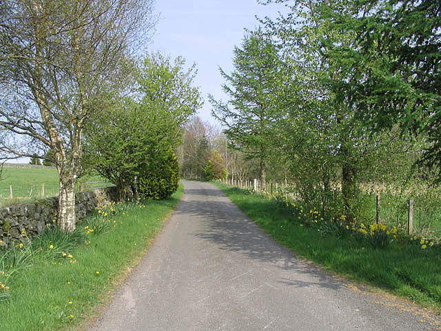
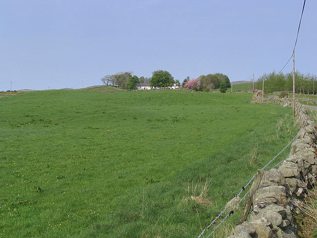
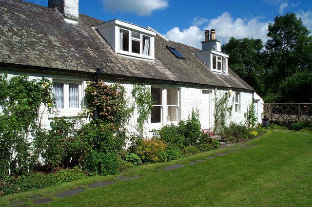
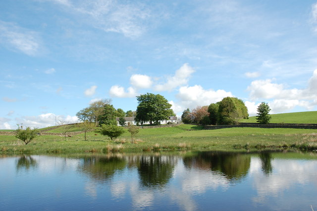
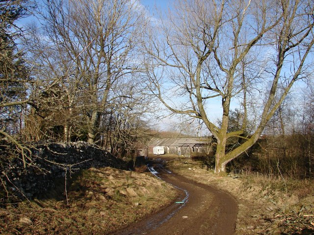
Well Hill Images
Images are sourced within 2km of 55.058496/-4.0816483 or Grid Reference NX6775. Thanks to Geograph Open Source API. All images are credited.
Well Hill is located at Grid Ref: NX6775 (Lat: 55.058496, Lng: -4.0816483)
Unitary Authority: Dumfries and Galloway
Police Authority: Dumfries and Galloway
What 3 Words
///fails.quilting.able. Near Castle Douglas, Dumfries & Galloway
Nearby Locations
Related Wikis

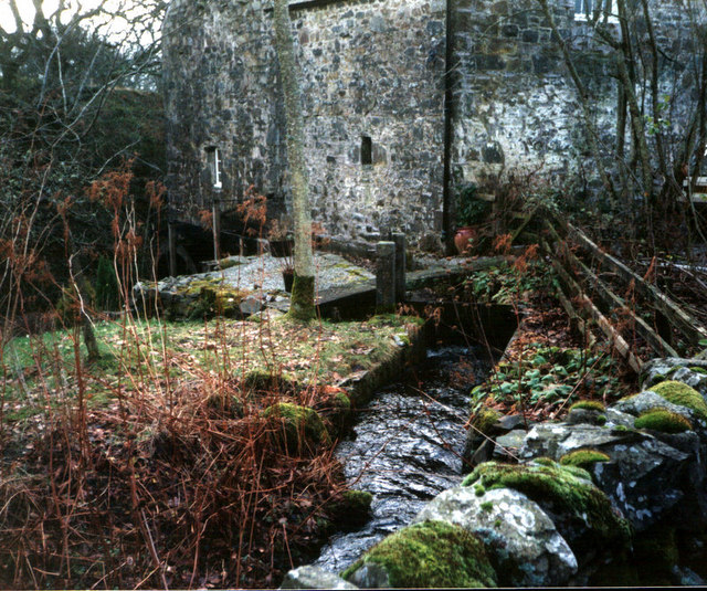
Ironmacannie Mill
Ironmacannie Mill is a historic watermill near Balmaclellan in Dumfries and Galloway, Scotland. Built in the 18th and 19th centuries, on the site of an...

Galloway
Galloway (Scottish Gaelic: Gall-Ghàidhealaibh [ˈkal̪ˠaɣəl̪ˠu]; Scots: Gallowa; Latin: Gallovidia) is a region in southwestern Scotland comprising the historic...

Kenmure Castle
Kenmure Castle is a fortified house or castle in The Glenkens, 1 mile (1.6 km) south of the town of New Galloway in Kirkcudbrightshire, Galloway, south...

Balmaclellan
Balmaclellan (Scottish Gaelic: Baile Mac-a-ghille-dhiolan, meaning town of the MacLellans) is a small hillside village of stone houses with slate roofs...

New Galloway
New Galloway (Scottish Gaelic: Gall-Ghàidhealaibh Nuadh) is a town in the historical county of Kirkcudbrightshire in Dumfries and Galloway. It lies on...

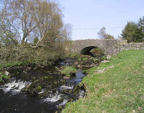
Ken Bridge
The Ken Bridge is a road bridge about 0.8 kilometres (0.5 mi) north east of New Galloway in Dumfries and Galloway, Scotland, which carries the A712 road...

New Galloway Town Hall
The New Galloway Town Hall is a municipal building in Dumfries and Galloway, Scotland, situated on the town's high street. A tolbooth has existed on the...

Water of Ken
The Water of Ken is a river in the historical county of Kirkcudbrightshire in Galloway, south-west Scotland. It rises on Blacklorg Hill, north-east of...
Nearby Amenities
Located within 500m of 55.058496,-4.0816483Have you been to Well Hill?
Leave your review of Well Hill below (or comments, questions and feedback).