Barnshalloch Plantation

Wood, Forest in Kirkcudbrightshire

Scotland

Barnshalloch Plantation

Ironmacannie The old watermill was renovated by some old friends in the 1990s. Although I think it is now holiday cottages, all of the original gearing is preserved and displayed inside
Ironmacannie Credit: Alison Covey

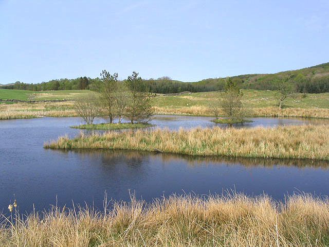
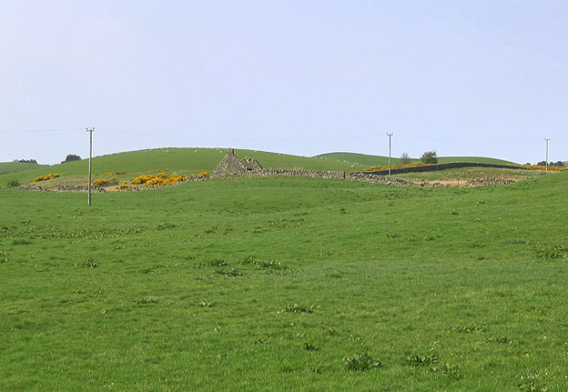
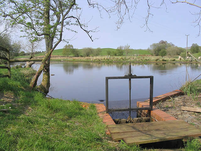
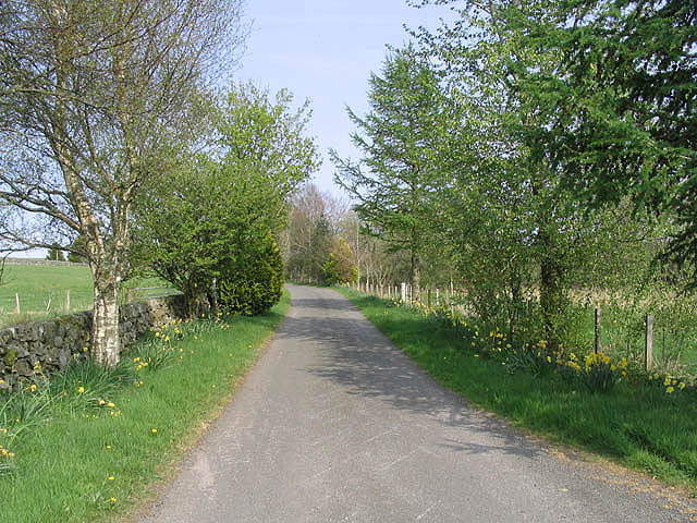
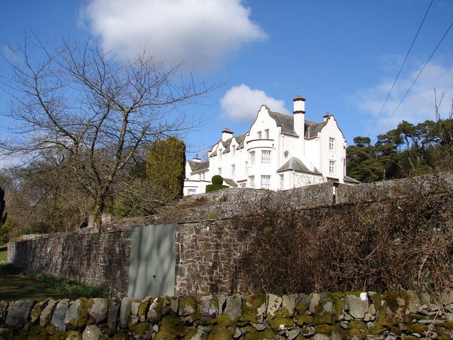
Barnshalloch Plantation is a picturesque woodland located in the region of Kirkcudbrightshire, Scotland. Covering an area of approximately 500 acres, it is known for its diverse range of trees and its tranquil atmosphere, making it a popular destination for nature enthusiasts and walkers alike.

The plantation is primarily composed of native tree species such as Scots pine, oak, and birch, which provide a rich habitat for wildlife. The dense canopy of trees creates a shaded and cool environment, perfect for a leisurely stroll on a warm summer day.

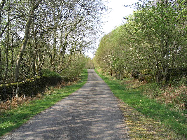
Visitors to Barnshalloch Plantation can explore the network of well-maintained walking trails that wind their way through the woodland. These trails offer stunning views of the surrounding countryside and provide an opportunity to spot various species of birds and mammals that call the plantation their home.

In addition to its natural beauty, Barnshalloch Plantation also holds historical significance. It is believed that the plantation was originally established in the late 18th century for timber production, providing a valuable resource for the local community. Today, the remnants of old sawmills and other structures can still be found within the woodland, serving as a reminder of its past.

Overall, Barnshalloch Plantation is a delightful destination for those seeking tranquility and a connection with nature. With its diverse range of trees, abundant wildlife, and well-maintained trails, it offers a peaceful retreat for visitors to enjoy the beauty of Kirkcudbrightshire's countryside.

If you have any feedback on the listing, please let us know in the comments section below.

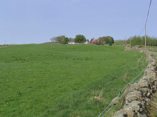
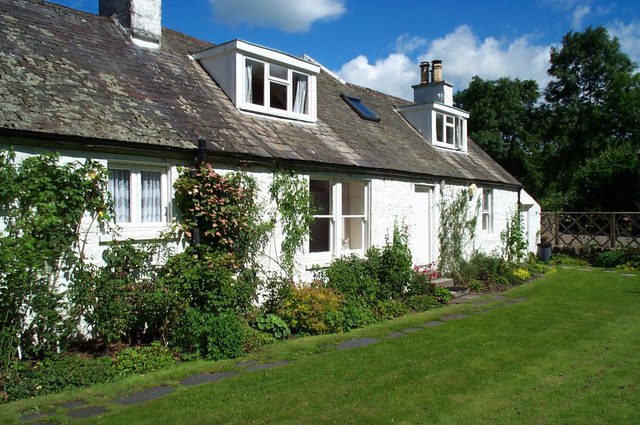
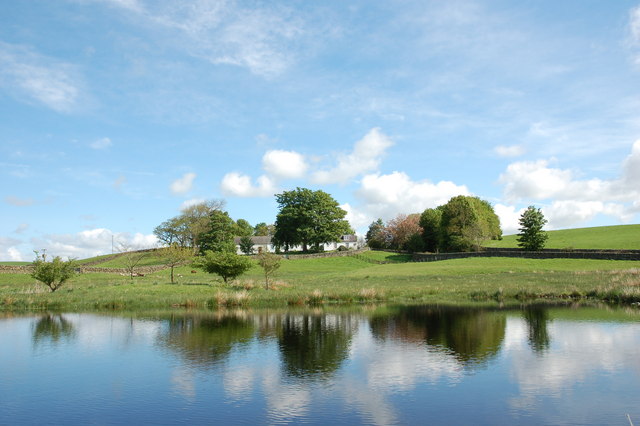
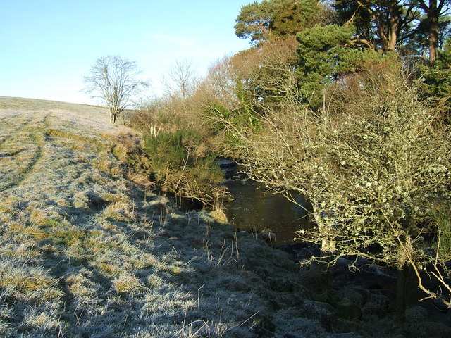
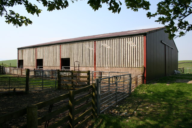
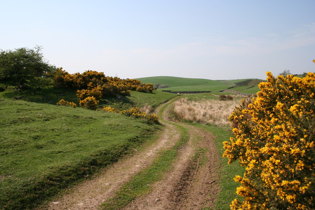
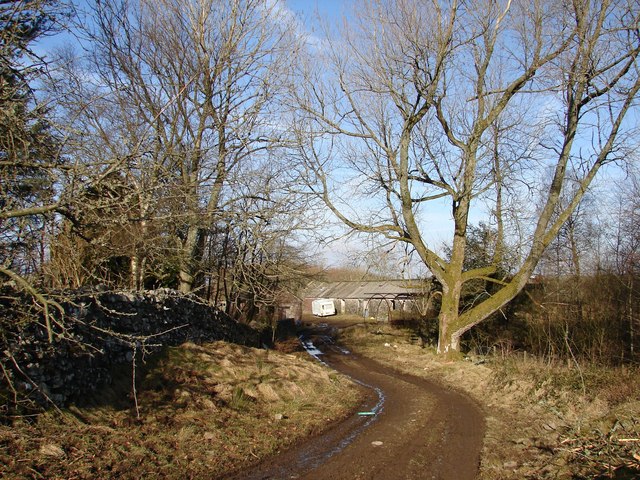
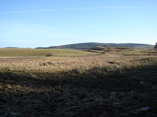
Barnshalloch Plantation Images

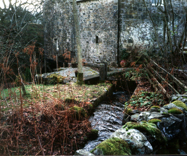
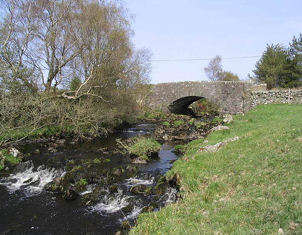
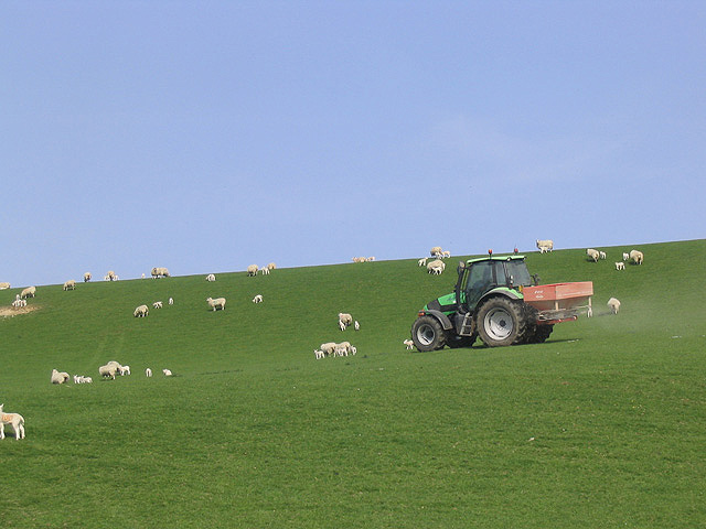
Images are sourced within 2km of 55.056491/-4.0780212 or Grid Reference NX6775. Thanks to Geograph Open Source API. All images are credited.

Ironmacannie The old watermill was renovated by some old friends in the 1990s. Although I think it is now holiday cottages, all of the original gearing is preserved and displayed inside
Ironmacannie
The old watermill was renovated by some old friends in the 1990s. Although I think it is now holiday cottages, all of the original gearing is preserved and displayed inside
Corse Bridge Spans the Shirmers Burn to the north of Corse Farm.
Corse Bridge
Spans the Shirmers Burn to the north of Corse Farm.
Fertilizing a pasture field A tractor driver dodging sheep in a field south-southeast of Corse Farm.
Fertilizing a pasture field
A tractor driver dodging sheep in a field south-southeast of Corse Farm.
A country road at Holmhead
A pond at Barnshalloch
Ruined building Viewed from a minor road near Barnhillies Farm.
Ruined building
Viewed from a minor road near Barnhillies Farm.
Sluice gate and pond By a minor road at Ironmacannie Mill.
Sluice gate and pond
By a minor road at Ironmacannie Mill.
Country road To the south of Blowplain Farm.
Country road
To the south of Blowplain Farm.
Pasture near Barnhillies Farm Viewed from a minor road with cottages at Barnhillies in the background.
Pasture near Barnhillies Farm
Viewed from a minor road with cottages at Barnhillies in the background.
Ironmacannie Cottage
Barnhillies
Barnhillies
Shirmers Burn A collection of photos from geograph contributors around the British Isles and Ireland.
See them on a map <a title="https://www.geograph.org.uk/search.php?i=134495916" href="https://www.geograph.org.uk/search.php?i=134495916">Link</a>
Shirmers Burn
A collection of photos from geograph contributors around the British Isles and Ireland. See them on a map Link
Barnhillies Shed
Barnhillies Shed
Barnhillies Moor
Barnhillies Moor
Ken Ervie 1 mile stone and mud track from Shirmers Bridge (A713) peters out in the farmyard of Ken Ervie on Barnshalloch Moor
Ken Ervie
1 mile stone and mud track from Shirmers Bridge (A713) peters out in the farmyard of Ken Ervie on Barnshalloch Moor
Thornygreue Empty moorland broken by the occasional craig lie to E of Loch Ken and used for cattle grazing. The western slopes of Thornygreue form the background.
Thornygreue
Empty moorland broken by the occasional craig lie to E of Loch Ken and used for cattle grazing. The western slopes of Thornygreue form the background.
Downies Knowles Hillocks of rough grazing to the E of Loch Ken near Ken Ervie.
Downies Knowles
Hillocks of rough grazing to the E of Loch Ken near Ken Ervie.
Craig, Ironmacannie Remote large country house of Craig viewed over its walled garden.
Craig, Ironmacannie
Remote large country house of Craig viewed over its walled garden.
Show me another place!

Barnshalloch Plantation is located at Grid Ref: NX6775 (Lat: 55.056491, Lng: -4.0780212)

Unitary Authority: Dumfries and Galloway

Police Authority: Dumfries and Galloway

What 3 Words

///unguarded.surprised.vintages. Near Castle Douglas, Dumfries & Galloway

Related Wikis

Ironmacannie Mill

Ironmacannie Mill is a historic watermill near Balmaclellan in Dumfries and Galloway, Scotland. Built in the 18th and 19th centuries, on the site of an...

Galloway

Galloway (Scottish Gaelic: Gall-Ghàidhealaibh [ˈkal̪ˠaɣəl̪ˠu]; Scots: Gallowa; Latin: Gallovidia) is a region in southwestern Scotland comprising the historic...

Kenmure Castle

Kenmure Castle is a fortified house or castle in The Glenkens, 1 mile (1.6 km) south of the town of New Galloway in Kirkcudbrightshire, Galloway, south...

Balmaclellan

Balmaclellan (Scottish Gaelic: Baile Mac-a-ghille-dhiolan, meaning town of the MacLellans) is a small hillside village of stone houses with slate roofs...

Nearby Amenities

Located within 500m of 55.056491,-4.0780212
Bar Hill
Ele: 125
Natural: peak
Lat/Long: 55.05369/-4.0792004
Power: pole
Lat/Long: 55.056618/-4.0851248
Power: pole
Lat/Long: 55.0568005/-4.0839882
Power: pole
Lat/Long: 55.0569879/-4.0827687
Power: pole
Lat/Long: 55.0571558/-4.081766
Power: pole
Lat/Long: 55.0573031/-4.0808355
Power: pole
Lat/Long: 55.0574564/-4.0798837
Power: pole
Lat/Long: 55.0576754/-4.0788279
Power: pole
Lat/Long: 55.0578774/-4.07784
Power: pole
Lat/Long: 55.0580903/-4.0767693
Power: pole
Lat/Long: 55.058341/-4.0755435
Power: pole
Lat/Long: 55.0585673/-4.0743899
Power: pole
Lat/Long: 55.0586598/-4.0731386
Power: pole
Lat/Long: 55.0566119/-4.0851226
Power: pole
Lat/Long: 55.0558416/-4.0849506
Power: pole
Lat/Long: 55.0549546/-4.084804
The data included in this document is from www.openstreetmap.org. The data is made available under ODbL.

Have you been to Barnshalloch Plantation?

Leave your review of Barnshalloch Plantation below (or comments, questions and feedback).