Barnhillies Hill
Hill, Mountain in Kirkcudbrightshire
Scotland
Barnhillies Hill
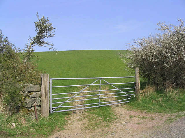
Barnhillies Hill is an imposing hill located in the county of Kirkcudbrightshire, in the southwestern part of Scotland. Situated near the town of Gatehouse of Fleet, this natural landmark stands tall at an elevation of approximately 274 meters (899 feet) above sea level.
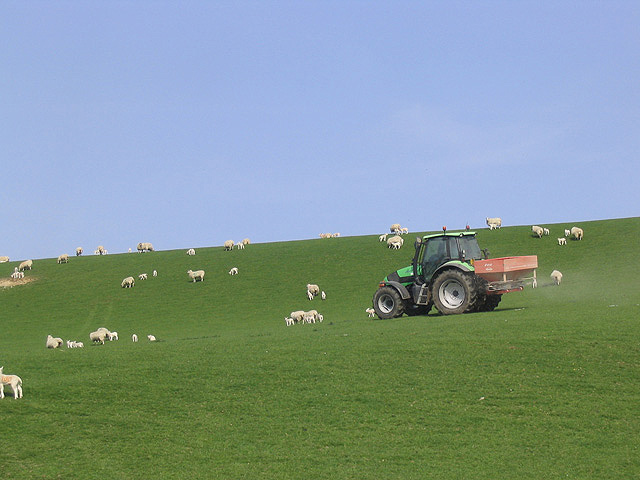
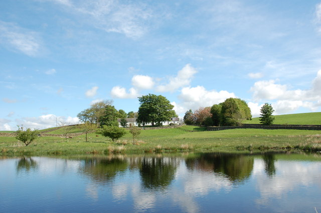
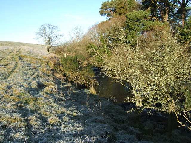
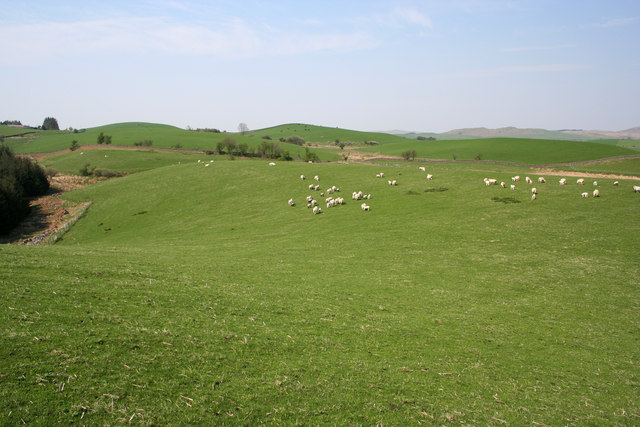
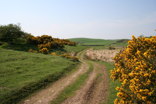
Characterized by its distinctive shape and prominent position in the landscape, Barnhillies Hill is a popular destination for hikers, nature enthusiasts, and local residents alike. Its slopes are covered with lush vegetation, including heather, grasses, and scattered trees, creating a picturesque scene throughout the year.
At the top of Barnhillies Hill, visitors are rewarded with breathtaking panoramic views of the surrounding countryside. On clear days, one can see the rolling hills, dense forests, and even glimpse the sparkling waters of nearby lochs. The summit also offers an ideal vantage point for observing the diverse wildlife that inhabits the area, such as red deer, buzzards, and various species of songbirds.
The hill has historical significance as well, with evidence of ancient settlements and burial mounds found in the vicinity. Its strategic location made it an ideal defensive position in times past, and remnants of fortifications can still be seen on its slopes.
Access to Barnhillies Hill is relatively easy, with a network of well-maintained trails and paths leading to the summit. Visitors are advised to wear appropriate footwear and carry provisions, as the ascent can be steep in some sections.
Overall, Barnhillies Hill is a captivating natural landmark that offers visitors a chance to immerse themselves in the beauty of Kirkcudbrightshire's countryside while exploring its rich history and enjoying the tranquility of the area.
If you have any feedback on the listing, please let us know in the comments section below.
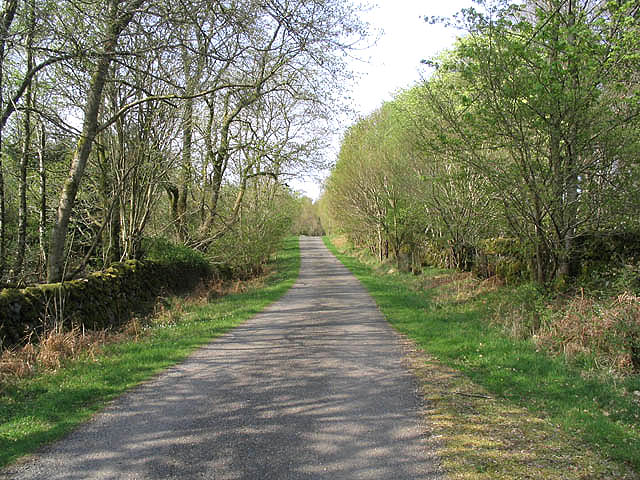
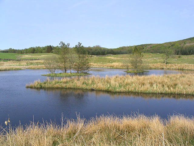
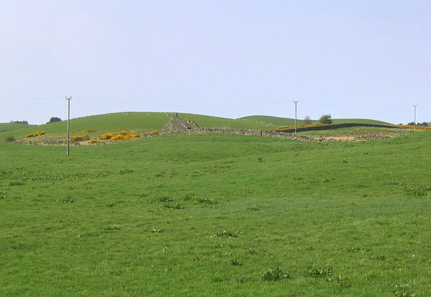
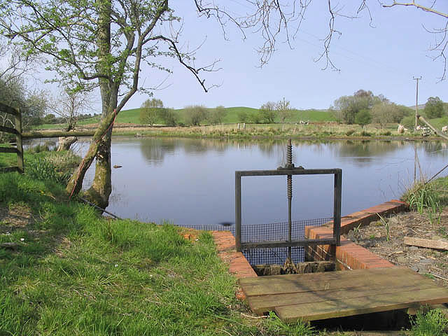
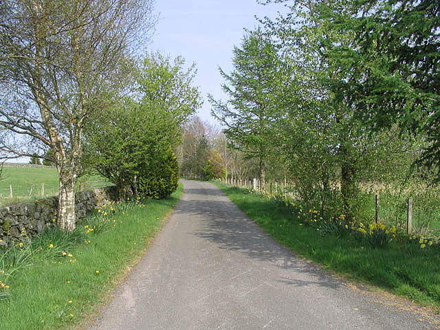
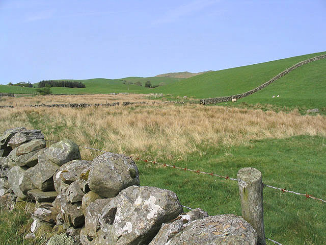
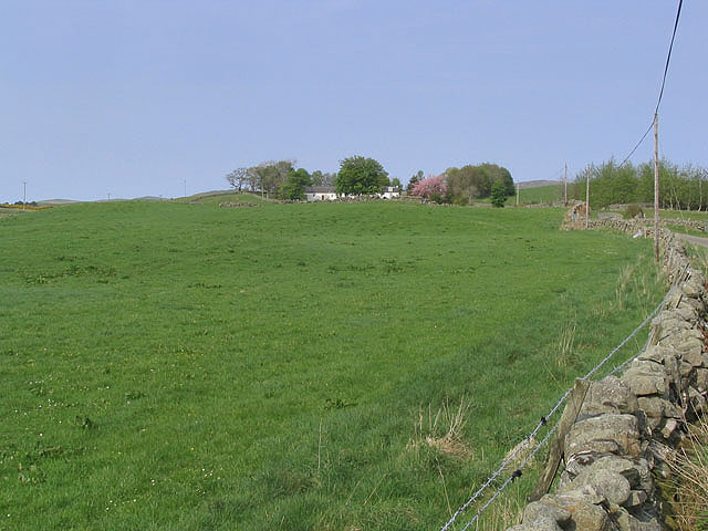
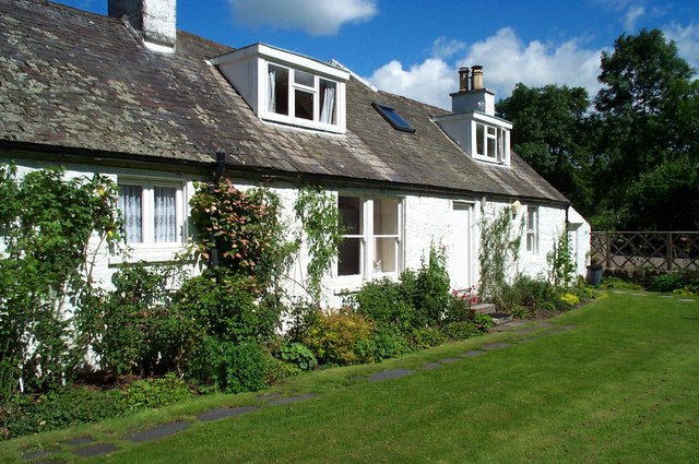
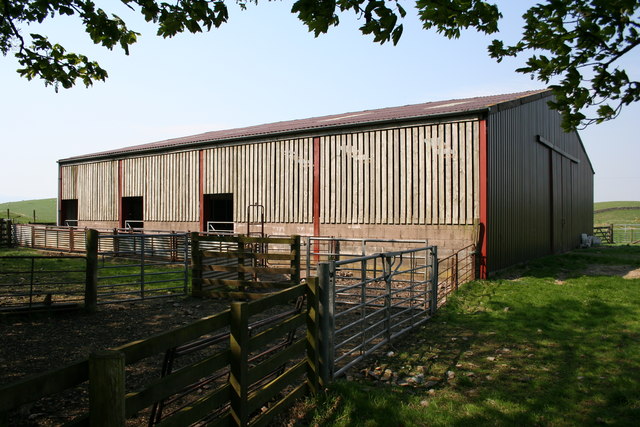
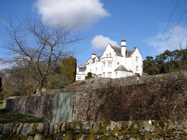
Barnhillies Hill Images
Images are sourced within 2km of 55.069348/-4.0883046 or Grid Reference NX6676. Thanks to Geograph Open Source API. All images are credited.
Barnhillies Hill is located at Grid Ref: NX6676 (Lat: 55.069348, Lng: -4.0883046)
Unitary Authority: Dumfries and Galloway
Police Authority: Dumfries and Galloway
What 3 Words
///hooked.crucially.fried. Near Castle Douglas, Dumfries & Galloway
Nearby Locations
Related Wikis

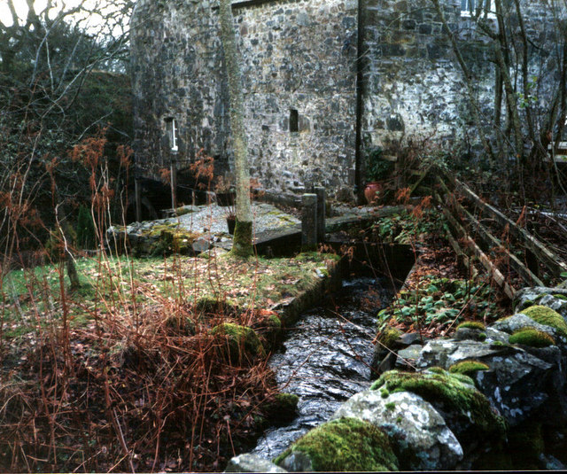
Ironmacannie Mill
Ironmacannie Mill is a historic watermill near Balmaclellan in Dumfries and Galloway, Scotland. Built in the 18th and 19th centuries, on the site of an...

Balmaclellan
Balmaclellan (Scottish Gaelic: Baile Mac-a-ghille-dhiolan, meaning town of the MacLellans) is a small hillside village of stone houses with slate roofs...

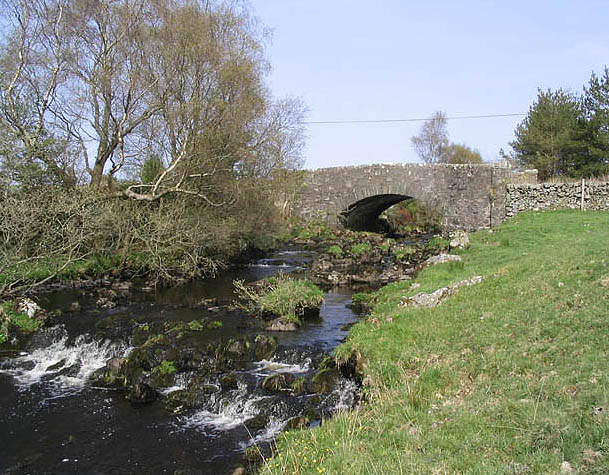
Ken Bridge
The Ken Bridge is a road bridge about 0.8 kilometres (0.5 mi) north east of New Galloway in Dumfries and Galloway, Scotland, which carries the A712 road...

New Galloway
New Galloway (Scottish Gaelic: Gall-Ghàidhealaibh Nuadh) is a town in the historical county of Kirkcudbrightshire in Dumfries and Galloway. It lies on...

Kenmure Castle
Kenmure Castle is a fortified house or castle in The Glenkens, 1 mile (1.6 km) south of the town of New Galloway in Kirkcudbrightshire, Galloway, south...

New Galloway Town Hall
The New Galloway Town Hall is a municipal building in Dumfries and Galloway, Scotland, situated on the town's high street. A tolbooth has existed on the...

Galloway
Galloway (Scottish Gaelic: Gall-Ghàidhealaibh [ˈkal̪ˠaɣəl̪ˠu]; Scots: Gallowa; Latin: Gallovidia) is a region in southwestern Scotland comprising the historic...

Barscobe Castle
Barscobe Castle is a 17th-century tower house in Balmaclellan, Kirkcudbrightshire, Scotland. It is a typical house of a country laird, and according to...
Nearby Amenities
Located within 500m of 55.069348,-4.0883046Have you been to Barnhillies Hill?
Leave your review of Barnhillies Hill below (or comments, questions and feedback).