Thornie Hill
Hill, Mountain in Kirkcudbrightshire
Scotland
Thornie Hill
The requested URL returned error: 429 Too Many Requests
If you have any feedback on the listing, please let us know in the comments section below.
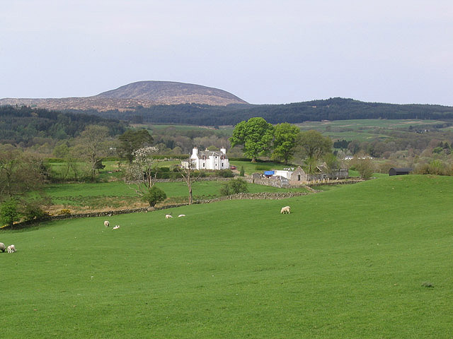
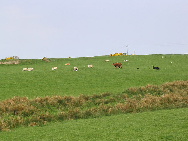
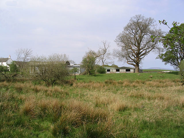
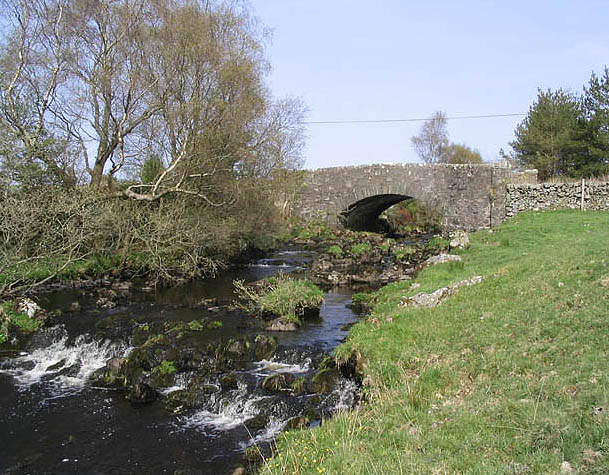
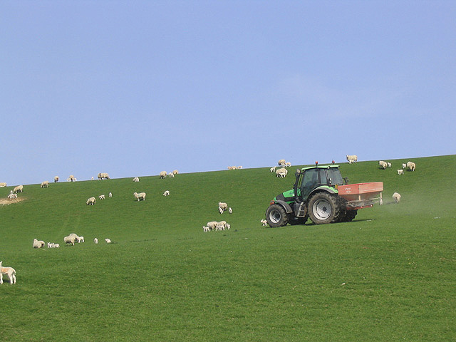
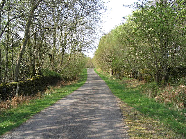
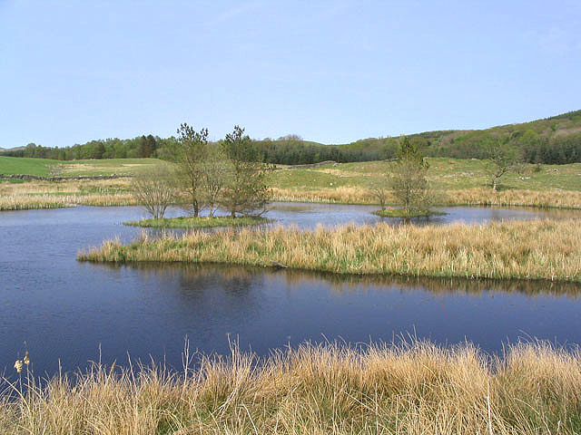
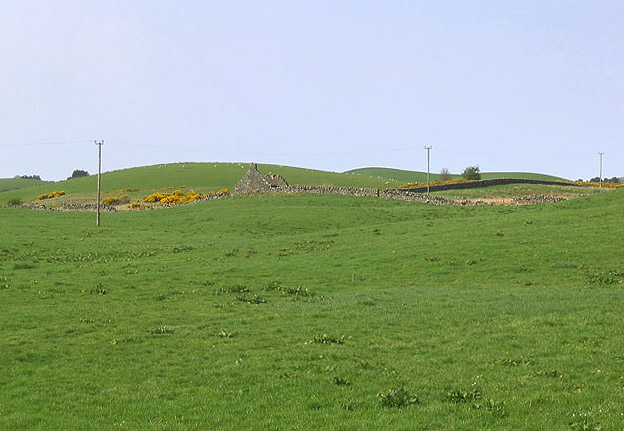
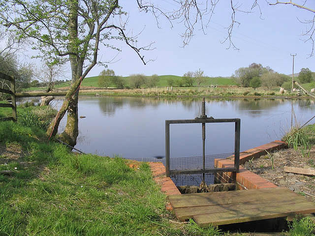
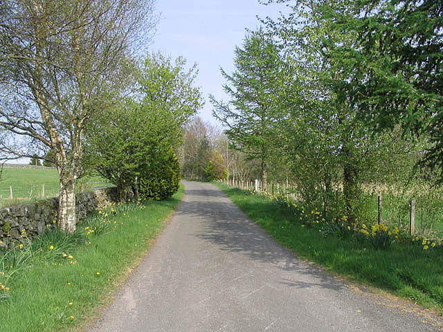
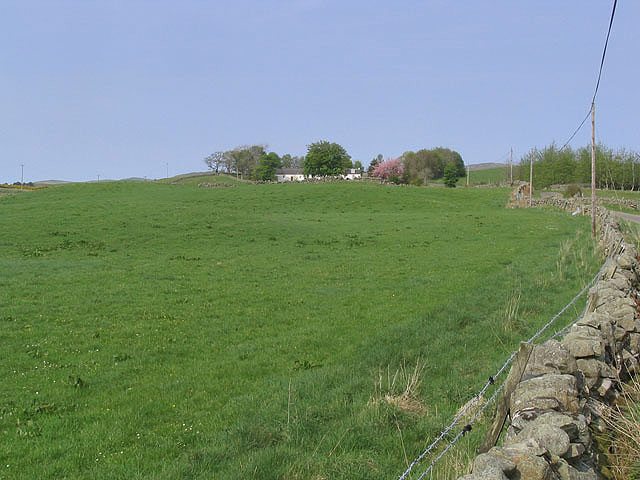
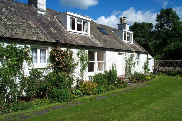
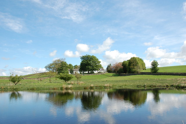
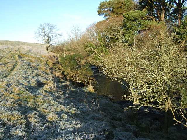
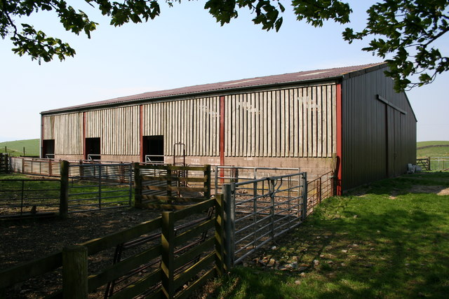
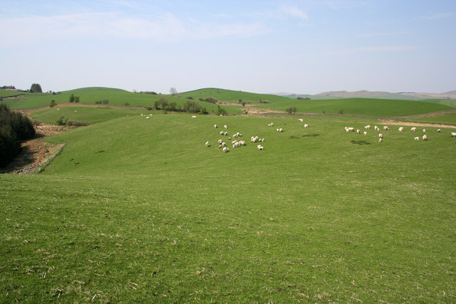
Thornie Hill Images
Images are sourced within 2km of 55.061911/-4.0958568 or Grid Reference NX6676. Thanks to Geograph Open Source API. All images are credited.

Thornie Hill is located at Grid Ref: NX6676 (Lat: 55.061911, Lng: -4.0958568)
Unitary Authority: Dumfries and Galloway
Police Authority: Dumfries and Galloway
What 3 Words
///relax.beaten.attracts. Near Castle Douglas, Dumfries & Galloway
Nearby Locations
Related Wikis

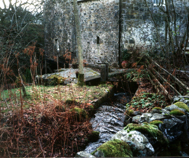
Ironmacannie Mill
Ironmacannie Mill is a historic watermill near Balmaclellan in Dumfries and Galloway, Scotland. Built in the 18th and 19th centuries, on the site of an...

Kenmure Castle
Kenmure Castle is a fortified house or castle in The Glenkens, 1 mile (1.6 km) south of the town of New Galloway in Kirkcudbrightshire, Galloway, south...

Galloway
Galloway (Scottish Gaelic: Gall-Ghàidhealaibh [ˈkal̪ˠaɣəl̪ˠu]; Scots: Gallowa; Latin: Gallovidia) is a region in southwestern Scotland comprising the historic...

New Galloway
New Galloway (Scottish Gaelic: Gall-Ghàidhealaibh Nuadh) is a town in the historical county of Kirkcudbrightshire in Dumfries and Galloway. It lies on...
Nearby Amenities
Located within 500m of 55.061911,-4.0958568Have you been to Thornie Hill?
Leave your review of Thornie Hill below (or comments, questions and feedback).