Ugborough Beacon

Hill, Mountain in Devon South Hams

England

Ugborough Beacon

Old Boundary Marker or Wayside Cross between Piles Hill and Ugborough Beacon Parish Boundary Marker called Hobajohn's Cross on moorland 400 metres southwest of Piles Hill. On the boundary of Harford and Ugborough parishes. A Scheduled Monument details <span class="nowrap"><a title="https://historicengland.org.uk/listing/the-list/list-entry/1012486" rel="nofollow ugc noopener" href="https://historicengland.org.uk/listing/the-list/list-entry/1012486">Link</a><img style="margin-left:2px;" alt="External link" title="External link - shift click to open in new window" src="https://s1.geograph.org.uk/img/external.png" width="10" height="10"/></span>. See also <a title="https://www.geograph.org.uk/photo/2618013," href="https://www.geograph.org.uk/photo/2618013,">Link</a> <a title="https://www.geograph.org.uk/photo/1756182" href="https://www.geograph.org.uk/photo/1756182">Link</a> and <a title="https://www.geograph.org.uk/photo/1130015" href="https://www.geograph.org.uk/photo/1130015">Link</a>.

Milestone Society National ID: DV_HFUG05pb
Old Boundary Marker or Wayside Cross between Piles Hill and Ugborough Beacon Credit: A Rosevear

Ugborough Beacon is a prominent hill located in the county of Devon, in the southwest of England. Situated near the village of Ugborough, this natural landmark stands at an elevation of approximately 370 meters (1,214 feet) above sea level, providing stunning panoramic views of the surrounding countryside.

The hill is part of the South Devon Area of Outstanding Natural Beauty, renowned for its diverse landscape and rich biodiversity. Ugborough Beacon is characterized by its gently sloping sides, covered in a patchwork of green fields and hedgerows. The hill is predominantly composed of limestone, which gives it a distinct pale gray color.

At the summit of Ugborough Beacon, visitors can find an Iron Age hillfort, which dates back over 2,000 years. The hillfort consists of a series of defensive ramparts and ditches, providing a glimpse into the area's ancient history. It is believed to have been a settlement and stronghold for the local population during that era.

Ugborough Beacon is a popular destination for outdoor enthusiasts, offering a range of recreational activities such as hiking, walking, and birdwatching. The hill is home to various species of flora and fauna, including wildflowers, butterflies, and birds, making it a haven for nature lovers.

Overall, Ugborough Beacon is a significant natural and historical landmark, offering visitors a chance to explore the region's past and immerse themselves in the beauty of the South Devon countryside.

If you have any feedback on the listing, please let us know in the comments section below.

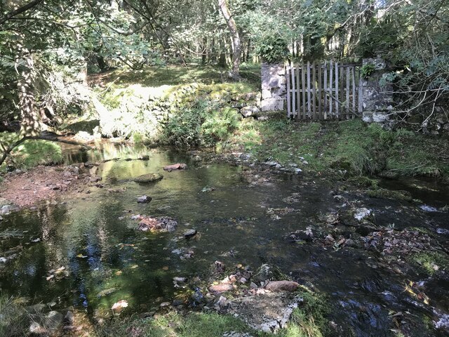
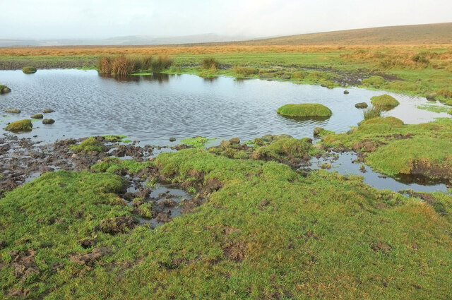
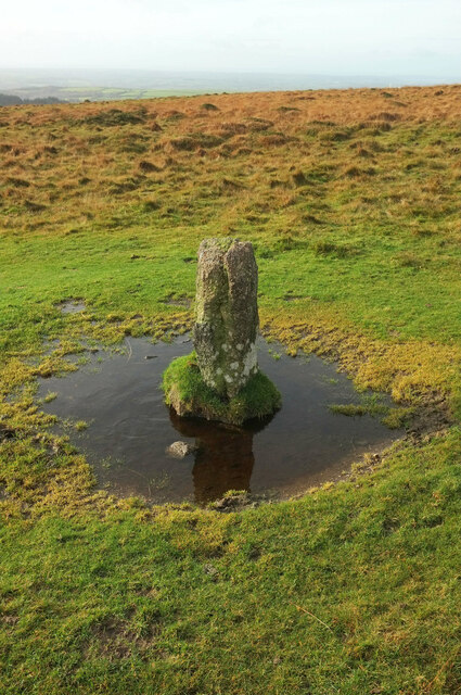
Ugborough Beacon Images

Images are sourced within 2km of 50.416681/-3.8769421 or Grid Reference SX6659. Thanks to Geograph Open Source API. All images are credited.

Old Boundary Marker or Wayside Cross between Piles Hill and Ugborough Beacon Parish Boundary Marker called Hobajohn's Cross on moorland 400 metres southwest of Piles Hill. On the boundary of Harford and Ugborough parishes. A Scheduled Monument details <span class="nowrap"><a title="https://historicengland.org.uk/listing/the-list/list-entry/1012486" rel="nofollow ugc noopener" href="https://historicengland.org.uk/listing/the-list/list-entry/1012486">Link</a><img style="margin-left:2px;" alt="External link" title="External link - shift click to open in new window" src="https://s1.geograph.org.uk/img/external.png" width="10" height="10"/></span>. See also <a title="https://www.geograph.org.uk/photo/2618013," href="https://www.geograph.org.uk/photo/2618013,">Link</a> <a title="https://www.geograph.org.uk/photo/1756182" href="https://www.geograph.org.uk/photo/1756182">Link</a> and <a title="https://www.geograph.org.uk/photo/1130015" href="https://www.geograph.org.uk/photo/1130015">Link</a>.

Milestone Society National ID: DV_HFUG05pb
Old Boundary Marker or Wayside Cross between Piles Hill and Ugborough Beacon
Parish Boundary Marker called Hobajohn's Cross on moorland 400 metres southwest of Piles Hill. On the boundary of Harford and Ugborough parishes. A Scheduled Monument details LinkExternal link. See also Link Link and Link. Milestone Society National ID: DV_HFUG05pb
Glasscombe Ball prehistoric stone row A combination single and double prehistoric stone row measuring 84.5m long, including 24 recumbent stones of different sizes.  The row is orientated north east to south west and is in the vicinity of six stone rows and  several cairns. <span class="nowrap"><a title="https://stonerows.wordpress.com/gazetteer/region/dartmoor/glasscombe-ball-north/" rel="nofollow ugc noopener" href="https://stonerows.wordpress.com/gazetteer/region/dartmoor/glasscombe-ball-north/">Link</a><img style="margin-left:2px;" alt="External link" title="External link - shift click to open in new window" src="https://s1.geograph.org.uk/img/external.png" width="10" height="10"/></span>
Glasscombe Ball prehistoric stone row
A combination single and double prehistoric stone row measuring 84.5m long, including 24 recumbent stones of different sizes. The row is orientated north east to south west and is in the vicinity of six stone rows and several cairns. LinkExternal link
Glasscombe Corner prehistoric stone row A combination single and double prehistoric stone row measuring 173m long, including at least 82 small and medium-sized stones. The row is orientated north east to south west and there is a kerbed cairn at the lower north eastern end. <span class="nowrap"><a title="https://stonerows.wordpress.com/gazetteer/region/dartmoor/glasscombe-corner/" rel="nofollow ugc noopener" href="https://stonerows.wordpress.com/gazetteer/region/dartmoor/glasscombe-corner/">Link</a><img style="margin-left:2px;" alt="External link" title="External link - shift click to open in new window" src="https://s1.geograph.org.uk/img/external.png" width="10" height="10"/></span>
Glasscombe Corner prehistoric stone row
A combination single and double prehistoric stone row measuring 173m long, including at least 82 small and medium-sized stones. The row is orientated north east to south west and there is a kerbed cairn at the lower north eastern end. LinkExternal link
Corringdon Ball prehistoric enclosed settlements Prehistoric agglomerated enclosures that were probably built and lived in during the Middle Bronze Age (1400 - 1000 BC). <span class="nowrap"><a title="https://historicengland.org.uk/listing/the-list/list-entry/1010208" rel="nofollow ugc noopener" href="https://historicengland.org.uk/listing/the-list/list-entry/1010208">Link</a><img style="margin-left:2px;" alt="External link" title="External link - shift click to open in new window" src="https://s1.geograph.org.uk/img/external.png" width="10" height="10"/></span>
Corringdon Ball prehistoric enclosed settlements
Prehistoric agglomerated enclosures that were probably built and lived in during the Middle Bronze Age (1400 - 1000 BC). LinkExternal link
Bridleway, Aish Ridge Climbing past Aishridge Plantation to the open patch of moorland on the hilltop.
Bridleway, Aish Ridge
Climbing past Aishridge Plantation to the open patch of moorland on the hilltop.
Bridleway by Aishridge Plantation The triangular wood is on the right; the gate is at the western corner, and there the bridleway (South Brent bridleway 20) leaves access land for 150 metres.
Bridleway by Aishridge Plantation
The triangular wood is on the right; the gate is at the western corner, and there the bridleway (South Brent bridleway 20) leaves access land for 150 metres.
Beard lichen near Aishridge Plantation On a rowan by the source of a headwater of the Badworthy Brook, creator of the valley shown in <a href="https://www.geograph.org.uk/photo/6606010">SX6760 : Track, Treeland Downs</a>. Presumably a species of Usnea.
Beard lichen near Aishridge Plantation
On a rowan by the source of a headwater of the Badworthy Brook, creator of the valley shown in SX6760 : Track, Treeland Downs. Presumably a species of Usnea.
Glaze Brook Ford This setted ford is found on Glaze Brook.
Glaze Brook Ford
This setted ford is found on Glaze Brook.
Pool near Spurrell's Cross By the tramway, here carrying the Two Moors Way.
Pool near Spurrell's Cross
By the tramway, here carrying the Two Moors Way.
Pool near Spurrell's Cross A closer view of <a href="https://www.geograph.org.uk/photo/6676858">SX6560 : Pool near Spurrell's Cross</a>, with tussocks protruding from the water.
Pool near Spurrell's Cross
A closer view of SX6560 : Pool near Spurrell's Cross, with tussocks protruding from the water.
Covers near Piles Hill The larger cover bears the name of George Waller and Sons, of Phoenix Iron Works, Stroud. It is an inspection cover for a china clay pipeline from Red Lake to Cantrell. <span class="nowrap"><a title="https://www.heritagegateway.org.uk/Gateway/Results_Single.aspx?uid=MDV5167&resourceID=104" rel="nofollow ugc noopener" href="https://www.heritagegateway.org.uk/Gateway/Results_Single.aspx?uid=MDV5167&resourceID=104">Link</a><img style="margin-left:2px;" alt="External link" title="External link - shift click to open in new window" src="https://s1.geograph.org.uk/img/external.png" width="10" height="10"/></span>
Covers near Piles Hill
The larger cover bears the name of George Waller and Sons, of Phoenix Iron Works, Stroud. It is an inspection cover for a china clay pipeline from Red Lake to Cantrell. LinkExternal link
Moorland around Hobajohns Cross The stone, which is only 1.2 metres high, can be seen in the centre 70 metres away.
Moorland around Hobajohns Cross
The stone, which is only 1.2 metres high, can be seen in the centre 70 metres away.
Boundary stone, Piles Hill Part of a stone row described at <span class="nowrap"><a title="https://historicengland.org.uk/listing/the-list/list-entry/1012486" rel="nofollow ugc noopener" href="https://historicengland.org.uk/listing/the-list/list-entry/1012486">Link</a><img style="margin-left:2px;" alt="External link" title="External link - shift click to open in new window" src="https://s1.geograph.org.uk/img/external.png" width="10" height="10"/></span> . The row is followed by the parish boundary between Harford (left) and Ugborough.
Boundary stone, Piles Hill
Part of a stone row described at LinkExternal link . The row is followed by the parish boundary between Harford (left) and Ugborough.
Boundary stone, Piles Hill A side view of <a href="https://www.geograph.org.uk/photo/6678790">SX6560 : Boundary stone, Piles Hill</a>, on the parish boundary between Harford (ahead) and Ugborough,
Boundary stone, Piles Hill
A side view of SX6560 : Boundary stone, Piles Hill, on the parish boundary between Harford (ahead) and Ugborough,
Bluebells in Lady's Wood See also <a title="https://www.geograph.org.uk/search.php?i=21154461" href="https://www.geograph.org.uk/search.php?i=21154461">Link</a> . Drifts of bluebells (Hyacinthoides non-scripta) on the slopes of the Glaze Brook valley.
Bluebells in Lady's Wood
See also Link . Drifts of bluebells (Hyacinthoides non-scripta) on the slopes of the Glaze Brook valley.
Bluebells in Lady's Wood A fine display of bluebells seen from the top path around the wood.
Bluebells in Lady's Wood
A fine display of bluebells seen from the top path around the wood.
Bluebells in Lady's Wood The Devon Wildlife Trust is composed of at least four small fields on the slopes of the Glaze Brook valley. This is in the upper part of the westernmost. See also <a title="https://www.geograph.org.uk/search.php?i=21154461" href="https://www.geograph.org.uk/search.php?i=21154461">Link</a> .
Bluebells in Lady's Wood
The Devon Wildlife Trust is composed of at least four small fields on the slopes of the Glaze Brook valley. This is in the upper part of the westernmost. See also Link .
Show me another place!

Ugborough Beacon is located at Grid Ref: SX6659 (Lat: 50.416681, Lng: -3.8769421)

Administrative County: Devon

District: South Hams

Police Authority: Devon and Cornwall

What 3 Words

///rosette.remaking.walks. Near South Brent, Devon

Related Wikis

Butterdon Hill

Butterdon Hill is on Dartmoor, in southwest England. The remains of a small stone circle and a stone row can be found on the summit. The name Butterdon...
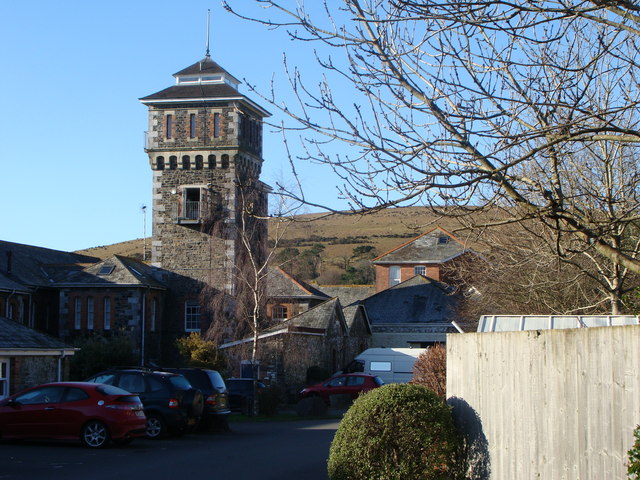
Moorhaven Hospital

Moorhaven Hospital, built as Plymouth Asylum and initially names the Plymouth Borough Asylum, was a mental health facility in Ivybridge, Devon, England...

Badworthy

Badworthy is a village in Devon, England.

Redlake Tramway

The Redlake Tramway was a railway built to carry supplies and workers between Bittaford and the clay workings at Redlake, near the centre of the southern...

Bittaford

Bittaford is a village about a mile from Ugborough village, in the civil parish of Ugborough, in the South Hams district, in the county of Devon, England...

Glazebrook House, South Brent

Glazebrook House is a building of historical significance in South Brent, Devon. Part of the house was built in about 1650 and was successively added to...

Aish, South Brent

Aish is a relatively small hamlet in the English county of Devon. It is near the large village of South Brent. This Aish is not to be confused with the...

Harford, Devon

Harford is a hamlet and civil parish located approximately 2 miles (3.2 km) north of the town of Ivybridge in the county of Devon, England. The parish...

Nearby Amenities

Located within 500m of 50.416681,-3.8769421
Ugborough Beacon
Ele: 375
Natural: peak
Source: NPE
Lat/Long: 50.4168599/-3.8754322
The data included in this document is from www.openstreetmap.org. The data is made available under ODbL.

Have you been to Ugborough Beacon?

Leave your review of Ugborough Beacon below (or comments, questions and feedback).