Pen Lan-dolau

Hill, Mountain in Carmarthenshire

Wales

Pen Lan-dolau

Cyffordd o draciau / A junction of tracks Cyffordd o draciau yn Allt Cwm-dyfiog.

A junction of tracks at Allt Cwm-dyfiog
Cyffordd o draciau / A junction of tracks Credit: Alan Richards

Pen Lan-dolau is a prominent hill located in Carmarthenshire, Wales. Situated in the western part of the county, it forms part of the broader Carmarthen Fans range of hills. With an elevation of approximately 440 meters (1,440 feet), it offers breathtaking views of the surrounding countryside.

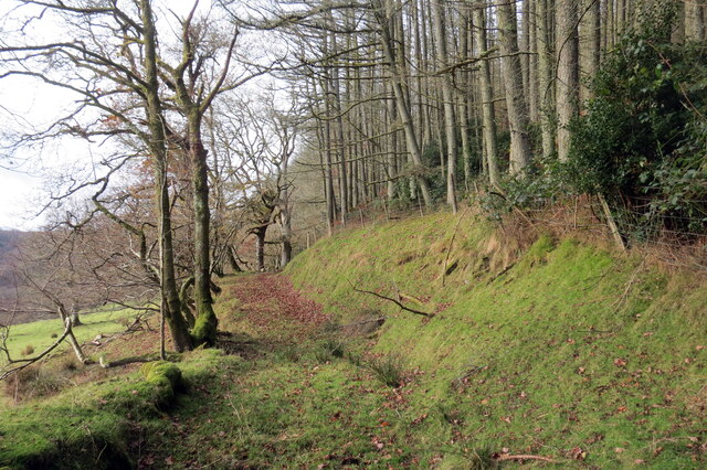
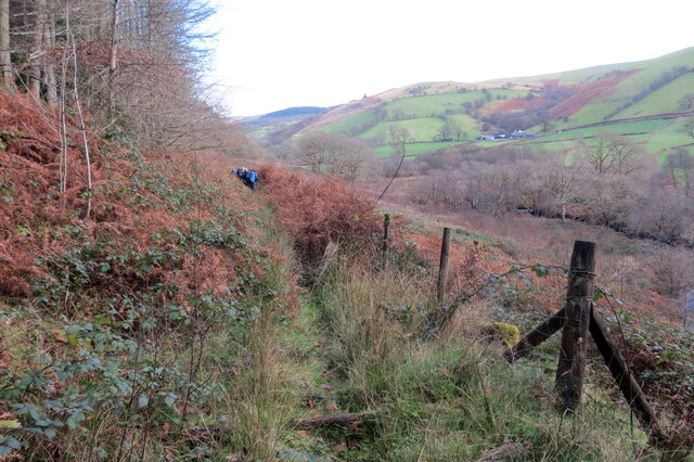
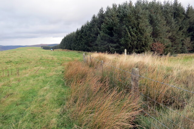
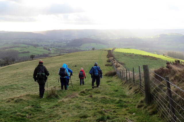
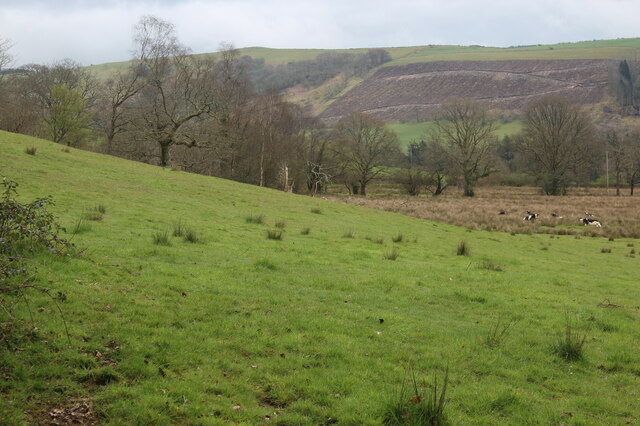
The hill is characterized by its rounded shape and gentle slopes, making it a popular destination for hikers and nature enthusiasts. Its location within the Brecon Beacons National Park ensures that visitors can enjoy a diverse range of flora and fauna. The hill is covered in lush grasslands and scattered with small patches of woodland, providing habitats for various species of birds, mammals, and insects.

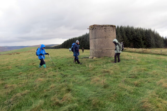
At the summit of Pen Lan-dolau, there is a trig point that offers panoramic views of the surrounding landscape, including the nearby Black Mountain and the Towy Valley. On clear days, it is even possible to spot the distant peaks of Snowdonia and the Preseli Hills.

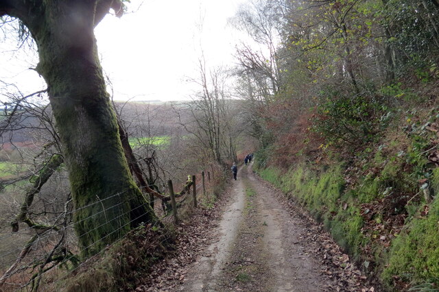
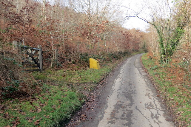
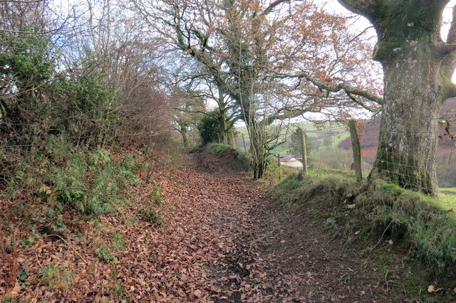
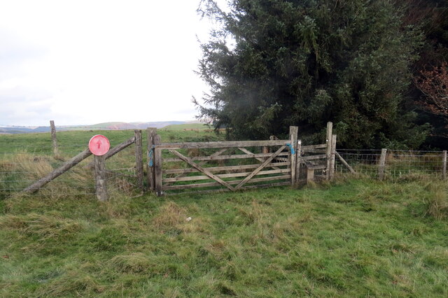
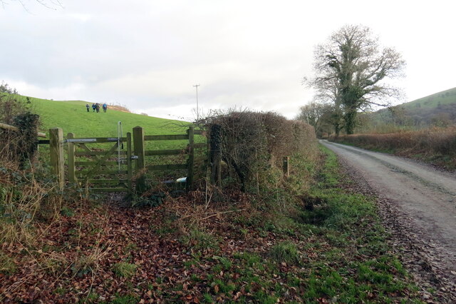
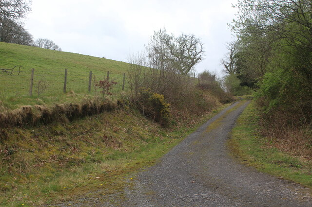
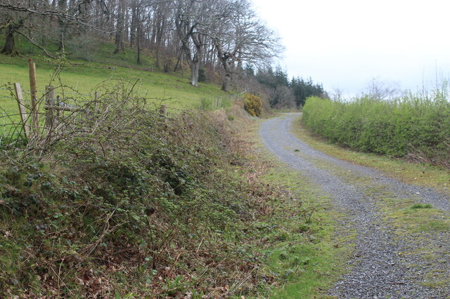
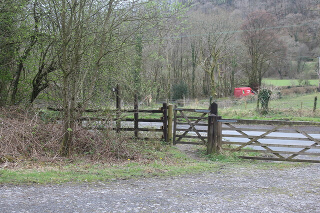
Access to Pen Lan-dolau is relatively easy, with a number of footpaths and trails leading to the summit. A popular starting point for many visitors is the nearby village of Bethlehem, from where a well-marked path guides hikers up the hill.

Overall, Pen Lan-dolau in Carmarthenshire provides a wonderful opportunity for outdoor enthusiasts to immerse themselves in the natural beauty of the Welsh countryside, offering stunning views, diverse wildlife, and a peaceful escape from the hustle and bustle of everyday life.

If you have any feedback on the listing, please let us know in the comments section below.

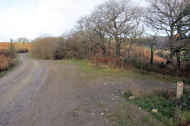
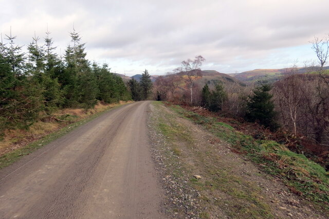
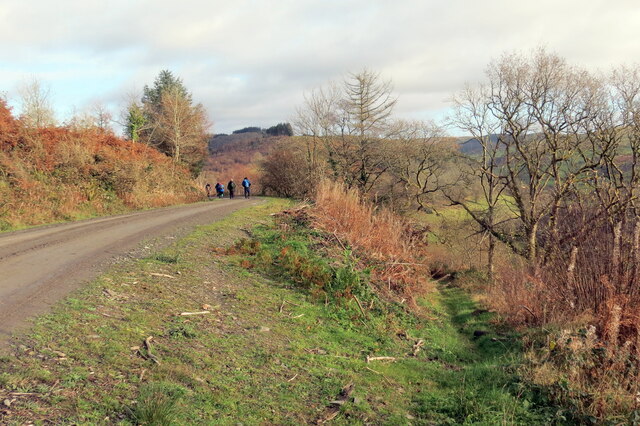
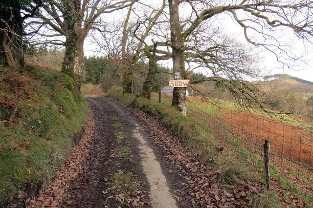
Pen Lan-dolau Images

Images are sourced within 2km of 52.063634/-3.9493514 or Grid Reference SN6642. Thanks to Geograph Open Source API. All images are credited.

Cyffordd o draciau / A junction of tracks Cyffordd o draciau yn Allt Cwm-dyfiog.

A junction of tracks at Allt Cwm-dyfiog
Cyffordd o draciau / A junction of tracks
Cyffordd o draciau yn Allt Cwm-dyfiog. A junction of tracks at Allt Cwm-dyfiog
Trac y goedwigaeth / Forestry track Trac y goedwigaeth ger Penlan-dolau.

A forestry track near Penlan-dolau (trans. hilltop of meadows)
Trac y goedwigaeth / Forestry track
Trac y goedwigaeth ger Penlan-dolau. A forestry track near Penlan-dolau (trans. hilltop of meadows)
Allt Cwm-dyfiog Llwybr cyhoeddus yn gadael y trac yn Allt Cwm-dyfiog.

A public footpath exits the track at Allt Cwm-dyfiog.
Allt Cwm-dyfiog
Llwybr cyhoeddus yn gadael y trac yn Allt Cwm-dyfiog. A public footpath exits the track at Allt Cwm-dyfiog.
Heol ger Bwlch-y-gilwen / Road near Bwlch-y-gilwen Heol fach ger anhedd-dy o'r enw Bwlch-y-gilwen.

A minor road near a property known as Bwlch-y-gilwen (trans. white nook pass)
Heol ger Bwlch-y-gilwen / Road near Bwlch-y-gilwen
Heol fach ger anhedd-dy o'r enw Bwlch-y-gilwen. A minor road near a property known as Bwlch-y-gilwen (trans. white nook pass)
Heol yn Allt Bwlch-y-gilwen / A road at Allt Bwlch-y-gilwen Heol fach yn mynd i lawr y waered yn Allt Bwlch-y-gilwen.

A minor road descending the hill at Allt Bwlch-y-gilwen (trans. fair nook pass).
Heol yn Allt Bwlch-y-gilwen / A road at Allt Bwlch-y-gilwen
Heol fach yn mynd i lawr y waered yn Allt Bwlch-y-gilwen. A minor road descending the hill at Allt Bwlch-y-gilwen (trans. fair nook pass).
Llwybr Allt Bwlch-y-gelain / Allt Bwlch-y-gelain Llwybr yn gadael yr heol fach o dan Allt Bwlch-y-gilwen.

A path exits the road beneath Allt Bwlch-y-gilwen.
Llwybr Allt Bwlch-y-gelain / Allt Bwlch-y-gelain
Llwybr yn gadael yr heol fach o dan Allt Bwlch-y-gilwen. A path exits the road beneath Allt Bwlch-y-gilwen.
Llwybr Aber-Mangoed / Aber-Mangoed path Llwybr yn mynd i gyfeiriad Ffarm Aber-Mangoed.

A path heading in the direction of Aber-Mangoed Farm.
 (trans. confluence of the Mangoed stream).
Llwybr Aber-Mangoed / Aber-Mangoed path
Llwybr yn mynd i gyfeiriad Ffarm Aber-Mangoed. A path heading in the direction of Aber-Mangoed Farm. (trans. confluence of the Mangoed stream).
Llwybr Aber-Mangoed / Aber-Mangoed path Llwybr yn mynd i gyfeiriad Ffarm Aber-Mangoed.

A path heading towards Aber-Mangoed Farm (trans. confluence of the Mangoed stream).
Llwybr Aber-Mangoed / Aber-Mangoed path
Llwybr yn mynd i gyfeiriad Ffarm Aber-Mangoed. A path heading towards Aber-Mangoed Farm (trans. confluence of the Mangoed stream).
Llwybr Aber-Mangoed / Aber-Mangoed path Cerddwyr yn dilyn llwybr o dan Allt Aber-Mangoed.

Walkers following a path below Allt Aber-Mangoed (trans. wooded slope near the confluence of the Mangoed stream).
Llwybr Aber-Mangoed / Aber-Mangoed path
Cerddwyr yn dilyn llwybr o dan Allt Aber-Mangoed. Walkers following a path below Allt Aber-Mangoed (trans. wooded slope near the confluence of the Mangoed stream).
Llwybr ger Drysallt / A path near Drysallt Llwybr caniataol ar gefen yn Nrysallt.

A permissive path on a ridge at Drysallt (trans. A wooded slope abounding with brambles).
Llwybr ger Drysallt / A path near Drysallt
Llwybr caniataol ar gefen yn Nrysallt. A permissive path on a ridge at Drysallt (trans. A wooded slope abounding with brambles).
Drysallt Ucheldir yn gymysg o dir porfa a phlanhigfa gonifferaidd.  

Upland consisting of pasture and a conifer plantation.
Drysallt
Ucheldir yn gymysg o dir porfa a phlanhigfa gonifferaidd. Upland consisting of pasture and a conifer plantation.
Twr dwr ar ucheldir / Upland water tower Cerddwyr o amgylch twr dwr ar gefnen.

Walkers at a water tower located on a ridge.
Twr dwr ar ucheldir / Upland water tower
Cerddwyr o amgylch twr dwr ar gefnen. Walkers at a water tower located on a ridge.
I lawr y gefnen / Descending the ridge Cerddwyr yn dilyn llwybr caniataol wrth iddo fynd i lawr y waered.

Walkers following a permissive path as it descends the hill.
I lawr y gefnen / Descending the ridge
Cerddwyr yn dilyn llwybr caniataol wrth iddo fynd i lawr y waered. Walkers following a permissive path as it descends the hill.
Llwybr yn gadael heol fynedfa / Path exits an access road Llwybr cyhoeddus yn gadael trac ger Ffarm Dolaucothi.

A public footpath exits a track near Dolaucothi Farm (trans. meadows of the river Cothi).
Llwybr yn gadael heol fynedfa / Path exits an access road
Llwybr cyhoeddus yn gadael trac ger Ffarm Dolaucothi. A public footpath exits a track near Dolaucothi Farm (trans. meadows of the river Cothi).
Track up to Allt Dolaucothi from A482 The track turns left <a href="https://www.geograph.org.uk/photo/7149225">SN6540 : Hillside track to Allt Dolaucothi</a> at the end of the straight section; it is the route of a permissive footpath (National Trust).
Track up to Allt Dolaucothi from A482
The track turns left SN6540 : Hillside track to Allt Dolaucothi at the end of the straight section; it is the route of a permissive footpath (National Trust).
Hillside pasture and rushes with cattle Pasture next to track on side of Cothi valley.
Hillside pasture and rushes with cattle
Pasture next to track on side of Cothi valley.
Hillside track to Allt Dolaucothi Stony track - a continuation from the bend of track in <a href="https://www.geograph.org.uk/photo/7148930">SN6540 : Track up to Allt Dolaucothi from A482</a>.
Hillside track to Allt Dolaucothi
Stony track - a continuation from the bend of track in SN6540 : Track up to Allt Dolaucothi from A482.
Gates at start of track from A482 The track turns to go uphill, track in <a href="https://www.geograph.org.uk/photo/7148930">SN6540 : Track up to Allt Dolaucothi from A482</a>. The red van is on a minor road from the A482 towards Pont Maes-troyddyn.
Gates at start of track from A482
The track turns to go uphill, track in SN6540 : Track up to Allt Dolaucothi from A482. The red van is on a minor road from the A482 towards Pont Maes-troyddyn.
Show me another place!

Pen Lan-dolau is located at Grid Ref: SN6642 (Lat: 52.063634, Lng: -3.9493514)

Unitary Authority: Carmarthenshire

Police Authority: Dyfed Powys

What 3 Words

///expert.reporter.templates. Near Llansawel, Carmarthenshire

Related Wikis

Cynwyl Gaeo

Cynwyl Gaeo is a parish and community located in rural Carmarthenshire, Wales, near the boundary with Ceredigion, in the upper Cothi valley about halfway...

Dolaucothi Estate

The Dolaucothi Estate (also Dolaucothy) is situated about 1 mile (1.6 km) north-west of the village of Caio up the Cothi Valley in the community of Cynwyl...

Pumsaint

Pumsaint is a village in Carmarthenshire, Wales, halfway between Llanwrda and Lampeter on the A482 in the valley of the Afon Cothi. It forms part of the...

Dolaucothi Gold Mines

The Dolaucothi Gold Mines (pronounced [ˌdɔlaiˈkɔθɪ]; Welsh: Mwynfeydd Aur Dolaucothi) (grid reference SN662403), also known as the Ogofau Gold Mine, are...

Have you been to Pen Lan-dolau?

Leave your review of Pen Lan-dolau below (or comments, questions and feedback).