Creag a' Bhòcaidh
Hill, Mountain in Sutherland
Scotland
Creag a' Bhòcaidh

Creag a' Bhòcaidh is a prominent hill located in Sutherland, a county in the northern part of the Scottish Highlands. Standing at an elevation of 561 meters (1,841 feet), it offers stunning panoramic views of the surrounding landscape, making it a popular destination for hikers and nature enthusiasts.
Situated in close proximity to the village of Rogart, Creag a' Bhòcaidh is part of the larger Ben Armine Forest, which covers a vast area of the region. The hill is characterized by its distinct conical shape, with a gentle slope on one side and steep cliffs on the other. These cliffs provide a challenging terrain for experienced rock climbers.
The hill is rich in biodiversity, with a variety of plant and animal species thriving in its diverse habitats. The lower slopes are covered in heather and grasses, while the higher elevations are blanketed by shrubs and hardy mountain vegetation, such as mosses and lichens. Birdwatchers can often spot several species, including golden eagles, peregrine falcons, and red grouse.
Access to Creag a' Bhòcaidh is relatively straightforward, with a well-marked trail leading to the summit. The hike offers stunning vistas of the surrounding countryside, including the nearby Kyle of Sutherland and the distant peaks of the Cairngorms National Park.
Overall, Creag a' Bhòcaidh is a picturesque hill in Sutherland, offering a memorable outdoor experience for those seeking natural beauty and adventure in the Scottish Highlands.
If you have any feedback on the listing, please let us know in the comments section below.
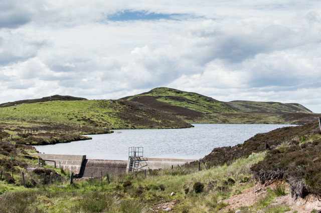
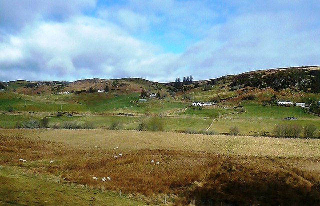
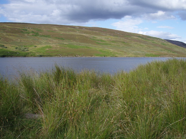
Creag a' Bhòcaidh Images
Images are sourced within 2km of 58.016662/-4.2686993 or Grid Reference NC6605. Thanks to Geograph Open Source API. All images are credited.


Creag a' Bhòcaidh is located at Grid Ref: NC6605 (Lat: 58.016662, Lng: -4.2686993)
Unitary Authority: Highland
Police Authority: Highlands and Islands
What 3 Words
///qualifier.remains.flap. Near Lairg, Highland
Nearby Locations
Related Wikis

Muie
Muie (Scottish Gaelic: A' Mhuigh) is a remote village, situated in eastern Sutherland, Scottish Highlands and is in the Scottish council area of Highland...
Ardachu
Ardachu (Scottish Gaelic: Àrd Achadh) is a village within the area of Rogart, Sutherland in the Scottish Highlands, within the Highland Council area. It...

A839 road
The A839 road is in Sutherland, in the Highland area of Scotland. It runs generally west from the A9 at The Mound near Golspie, via Rogart and Lairg, to...

West Langwell
West Langwell is a small crofting settlement in Rogart, Sutherland is in the Scottish council area of Highland within the Scottish Highlands. The village...
Battle of Torran Dubh
The Battle of Torran Dubh also known as the Battle of Torran-dow or the Battle of Torran Du was a Scottish clan battle that was fought in 1517 in Sutherland...
East Langwell
East Langwell is a small, remote crofting settlement in Rogart, Sutherland, Scottish Highlands and is in the Scottish council area of Highland.West Langwell...
Loch Buidhe (Bonar Bridge)
Loch Buidhe is a freshwater loch in Sutherland, Highland council area, Scotland. It is located about 8 km (5 mi) north-east of Bonar Bridge. The name is...

Rogart railway station
Rogart railway station is a railway station serving the villages of Rogart and Pittentrail, in the Highland council area of Scotland and home to Fraser...
Have you been to Creag a' Bhòcaidh?
Leave your review of Creag a' Bhòcaidh below (or comments, questions and feedback).