Loch Muidhe
Lake, Pool, Pond, Freshwater Marsh in Sutherland
Scotland
Loch Muidhe

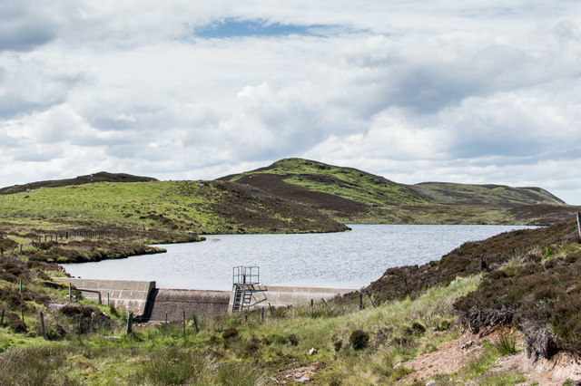
Loch Muidhe is a freshwater loch located in the remote region of Sutherland in the Scottish Highlands. It is a small, tranquil body of water surrounded by rolling hills and lush greenery. The loch is relatively shallow, with a maximum depth of around 10 meters, making it a popular spot for fishing and boating.
The surrounding area is rich in wildlife, with a variety of bird species such as herons, ducks, and swans frequenting the loch. The marshy areas surrounding the loch are home to a diverse range of plant species, including water lilies and reeds.
Loch Muidhe is a popular destination for outdoor enthusiasts seeking a peaceful retreat in nature. Visitors can enjoy hiking along the shores of the loch, picnicking on the grassy banks, or simply taking in the serene beauty of the landscape. The clear waters of the loch are also popular for swimming and kayaking during the warmer months.
Overall, Loch Muidhe is a hidden gem in the Scottish Highlands, offering a tranquil escape for those looking to immerse themselves in the natural beauty of the region.
If you have any feedback on the listing, please let us know in the comments section below.
Loch Muidhe Images
Images are sourced within 2km of 58.015701/-4.2601054 or Grid Reference NC6605. Thanks to Geograph Open Source API. All images are credited.


Loch Muidhe is located at Grid Ref: NC6605 (Lat: 58.015701, Lng: -4.2601054)
Unitary Authority: Highland
Police Authority: Highlands and Islands
What 3 Words
///duties.neater.expanded. Near Lairg, Highland
Nearby Locations
Related Wikis

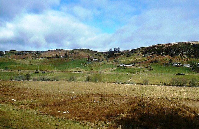
Muie
Muie (Scottish Gaelic: A' Mhuigh) is a remote village, situated in eastern Sutherland, Scottish Highlands and is in the Scottish council area of Highland...
Ardachu
Ardachu (Scottish Gaelic: Àrd Achadh) is a village within the area of Rogart, Sutherland in the Scottish Highlands, within the Highland Council area. It...

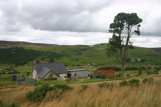
West Langwell
West Langwell is a small crofting settlement in Rogart, Sutherland is in the Scottish council area of Highland within the Scottish Highlands. The village...

A839 road
The A839 road is in Sutherland, in the Highland area of Scotland. It runs generally west from the A9 at The Mound near Golspie, via Rogart and Lairg, to...
Nearby Amenities
Located within 500m of 58.015701,-4.2601054Have you been to Loch Muidhe?
Leave your review of Loch Muidhe below (or comments, questions and feedback).