A' Bhuidheanach Bheag
Hill, Mountain in Perthshire
Scotland
A' Bhuidheanach Bheag
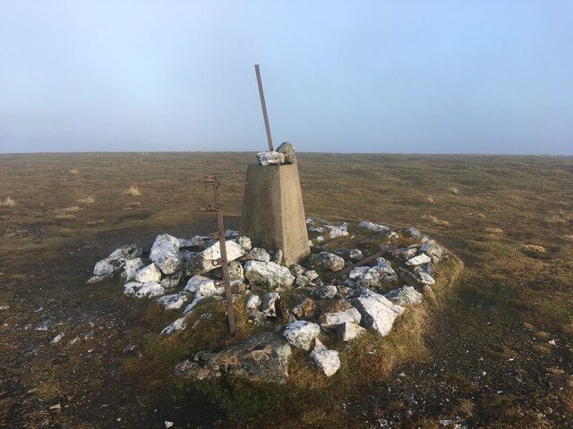
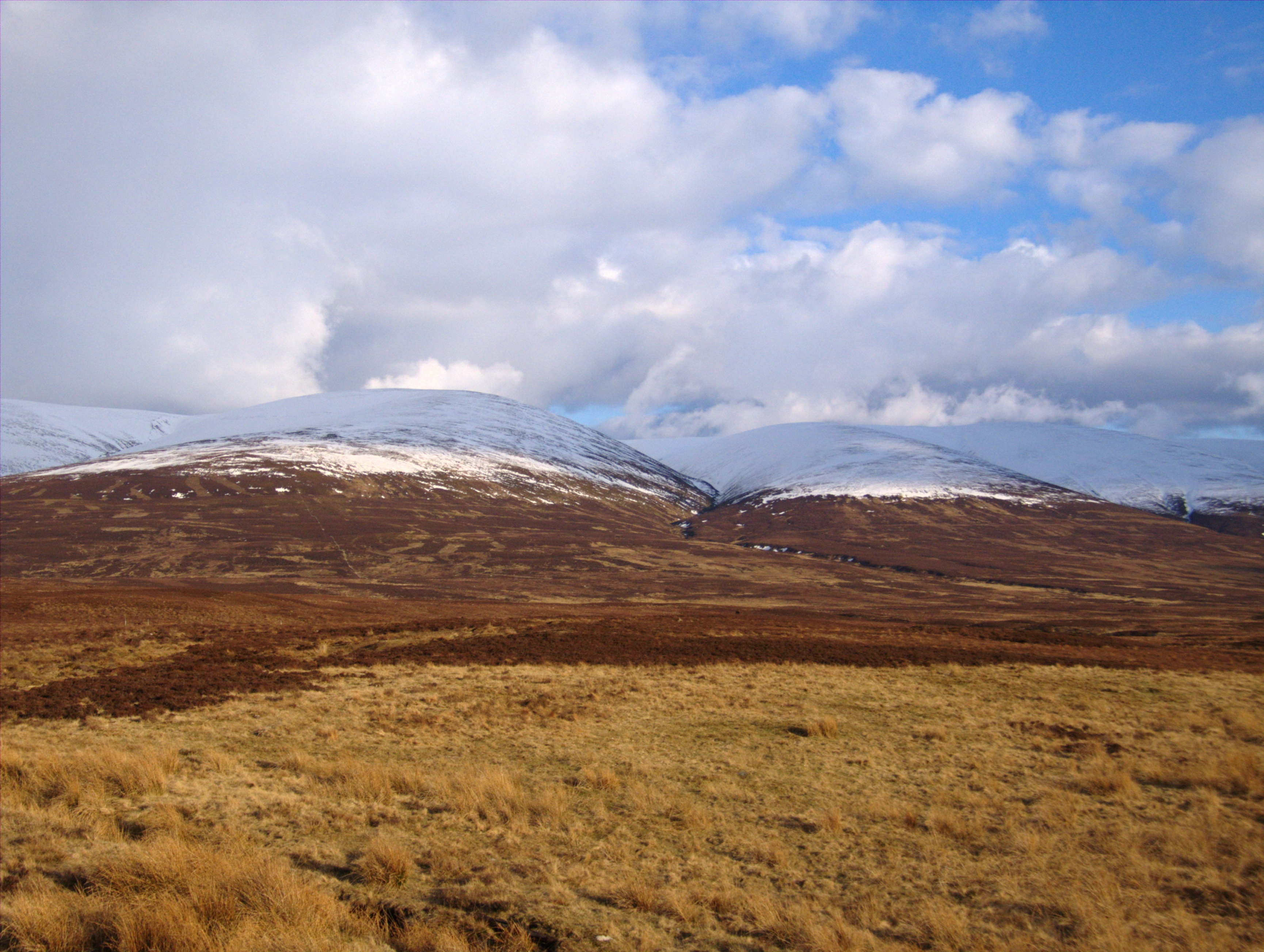
A' Bhuidheanach Bheag is a prominent hill located in Perthshire, Scotland. It forms part of the vast Grampian Mountains, which stretch across the central Highlands. With an elevation of 936 meters (3,071 feet), it is classified as a Munro, a term used to describe Scottish peaks over 3,000 feet.
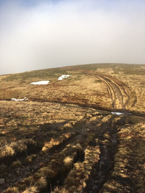
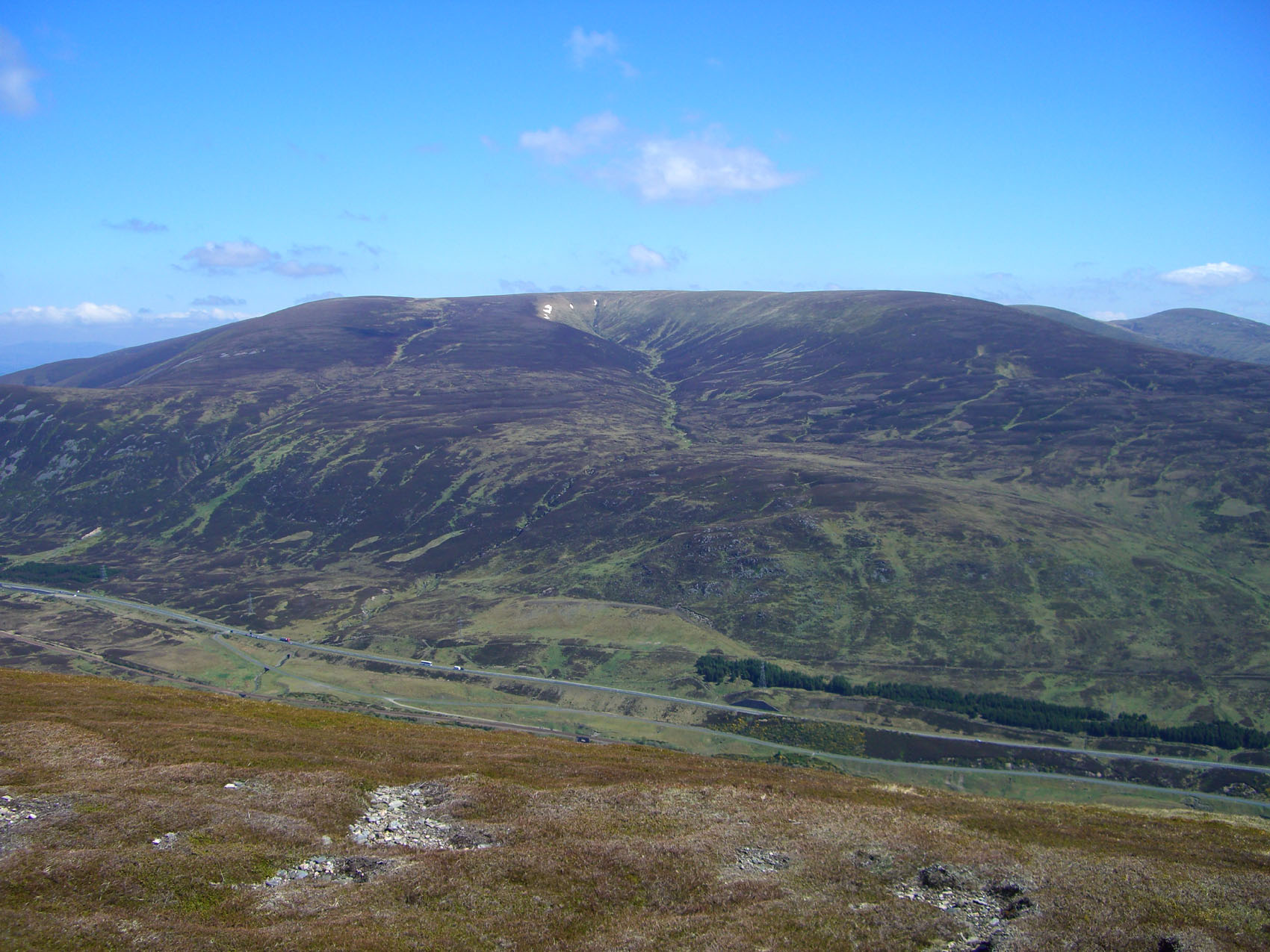
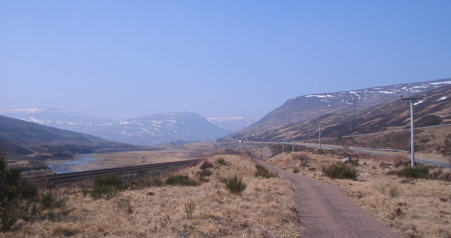
The hill is situated in the Drumochter Hills, which lie between the Cairngorms to the east and the Monadhliath Mountains to the west. A' Bhuidheanach Bheag is easily accessible from the A9 road, which runs through the Drumochter Pass. Its location makes it a popular destination for hillwalkers and hikers looking for a challenging yet rewarding climb.
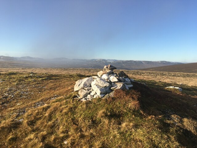
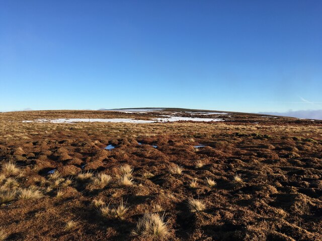
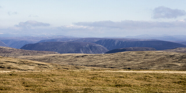
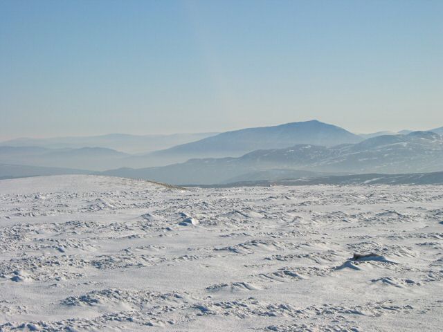
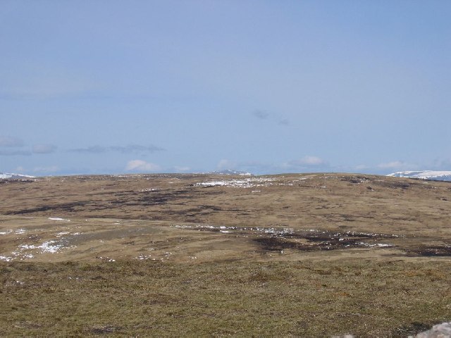
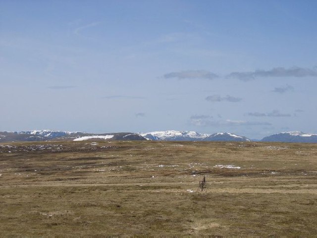
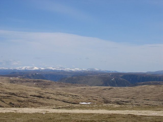
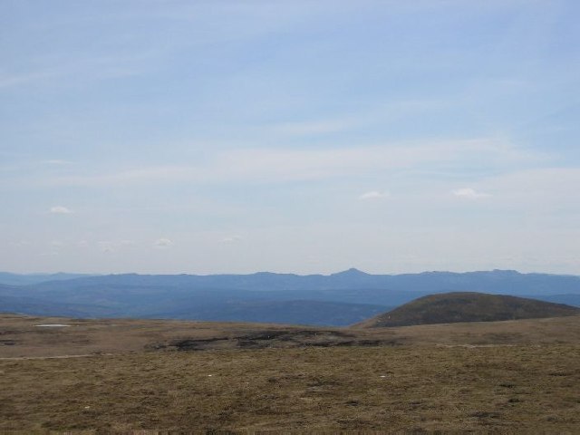
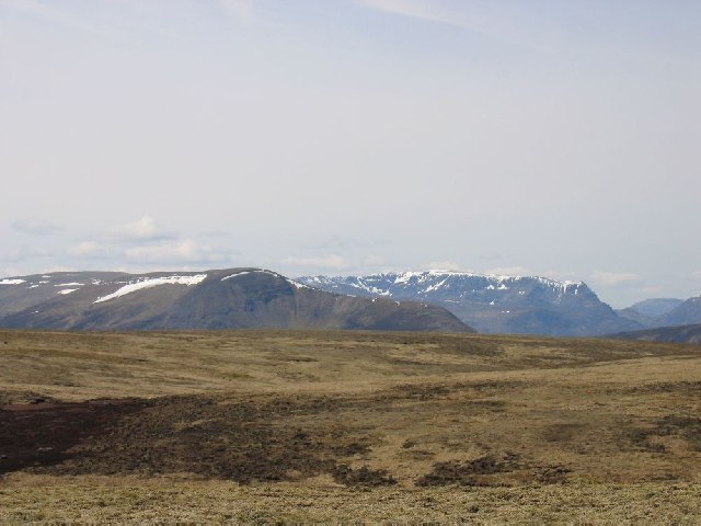
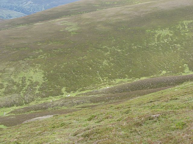
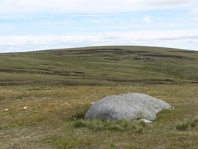
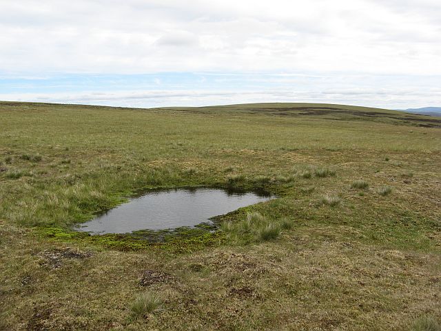
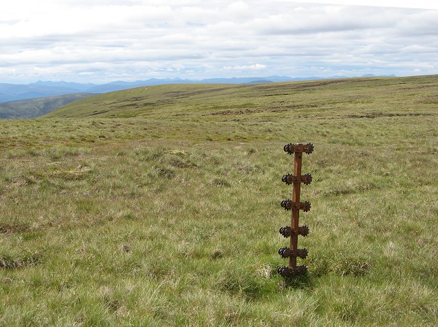
The summit of A' Bhuidheanach Bheag offers stunning panoramic views of the surrounding landscape. On clear days, it is possible to see the Cairngorms to the east, Ben Nevis to the northwest, and even the Grampian Mountains extending southwards. The hill is primarily composed of granite, with scattered patches of heather and grass covering its slopes.
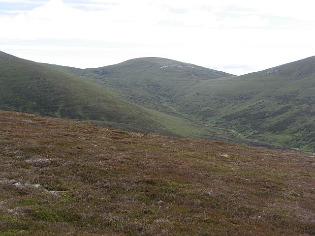
The ascent to A' Bhuidheanach Bheag is relatively straightforward, with a well-marked path leading to the summit. However, caution should be exercised during winter months, as the hill can be subject to harsh weather conditions and snow cover. It is advisable to check weather forecasts and carry appropriate equipment before undertaking the ascent.
Overall, A' Bhuidheanach Bheag provides an excellent opportunity for outdoor enthusiasts to experience the beauty of the Scottish Highlands and enjoy breathtaking views from its summit.
If you have any feedback on the listing, please let us know in the comments section below.
A' Bhuidheanach Bheag Images
Images are sourced within 2km of 56.870412/-4.1988614 or Grid Reference NN6677. Thanks to Geograph Open Source API. All images are credited.
A' Bhuidheanach Bheag is located at Grid Ref: NN6677 (Lat: 56.870412, Lng: -4.1988614)
Unitary Authority: Perth and Kinross
Police Authority: Tayside
What 3 Words
///snowstorm.mocked.weaved. Near Newtonmore, Highland
Nearby Locations
Related Wikis
A' Bhuidheanach Bheag
A' Bhuidheanach Bheag is a Scottish mountain situated on the eastern side of the Pass of Drumochter, some 24 km WNW of Blair Atholl. The mountain straddles...
Pass of Drumochter
The Pass of Drumochter (Scottish Gaelic: Druim Uachdair) meaning simply 'high ridge' is the main mountain pass between the northern and southern central...
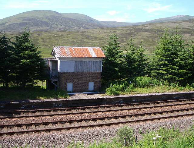
Dalnaspidal railway station
Dalnaspidal railway station served the burgh of Pitlochry, Perthshire, Scotland from 1864 to 1965 on the Inverness and Perth Junction Railway. == History... ==
Càrn na Caim
Carn na Caim (941 m) is a mountain in the Grampian Mountains of Scotland. It lies on the border of Highland and Perth and Kinross, east of the Pass of...

The Sow of Atholl
The Sow of Atholl (Scottish Gaelic: Meall an Dobharchain) is a Scottish hill which is situated 27 kilometres west-northwest of the town of Blair Atholl...

A' Mharconaich
A' Mharconaich (Scottish Gaelic: A' Mharcanaich) is a mountain near Dalwhinnie in the Scottish Highlands. It is a Munro with a height of 975 metres (3...

Geographical centre of Scotland
There is some debate as to the location of the geographical centre of Scotland. This is due to different methods of calculating the centre, and whether...

Dalwhinnie
Dalwhinnie ( dal-WHIN-ee; Scottish Gaelic: Dail Chuinnidh "meeting place") is a small village in the Scottish Highlands. Dalwhinnie is located at the head...
Nearby Amenities
Located within 500m of 56.870412,-4.1988614Have you been to A' Bhuidheanach Bheag?
Leave your review of A' Bhuidheanach Bheag below (or comments, questions and feedback).