Naker's Hill
Hill, Mountain in Devon West Devon
England
Naker's Hill
The requested URL returned error: 429 Too Many Requests
If you have any feedback on the listing, please let us know in the comments section below.
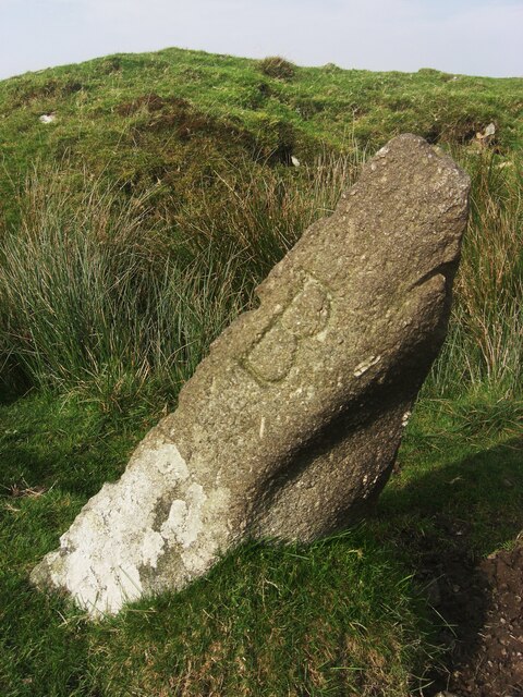
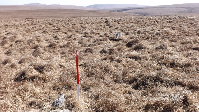
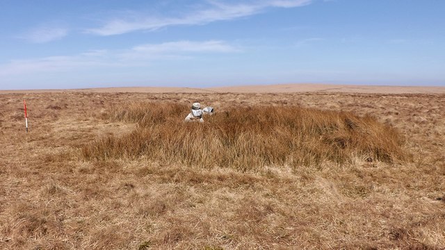
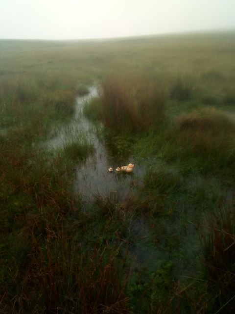
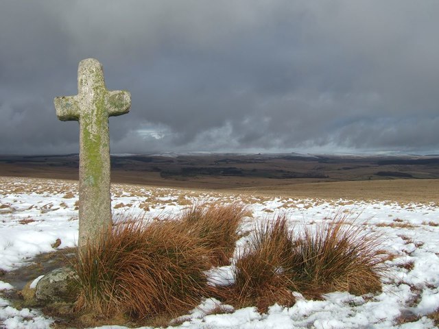
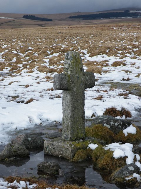
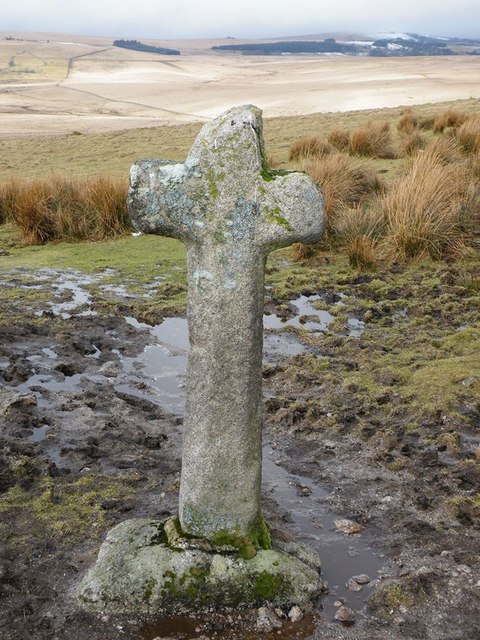
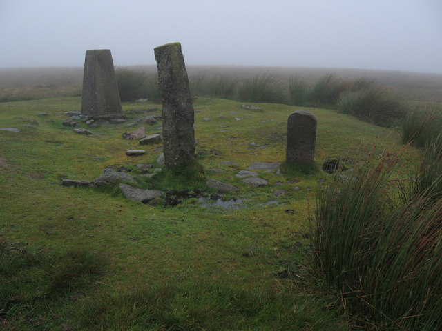
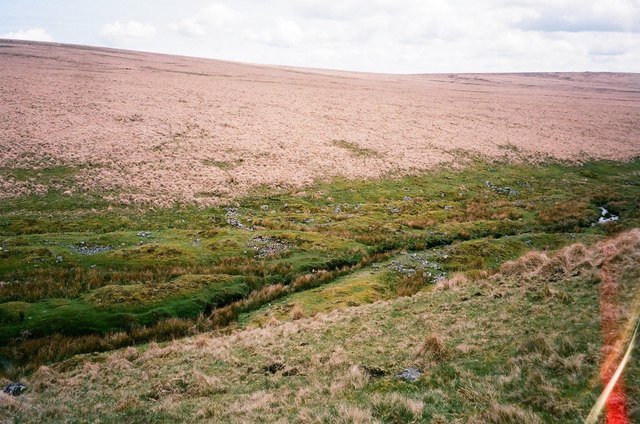
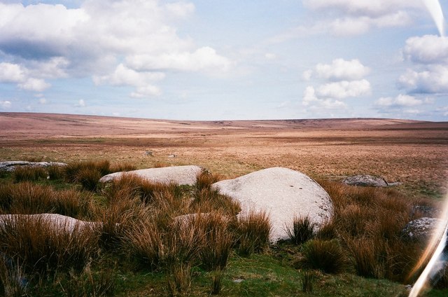
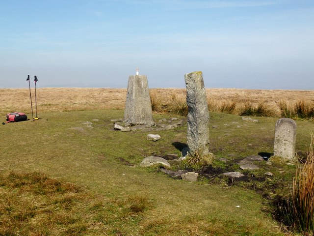
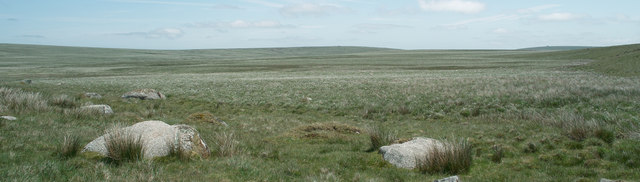
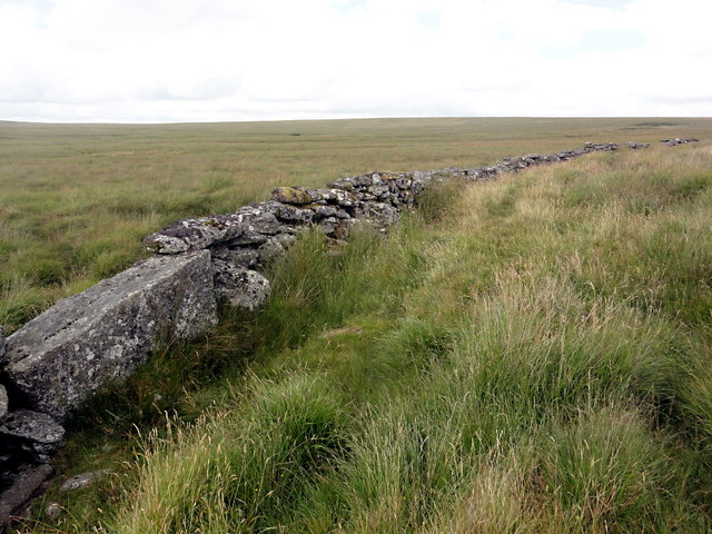
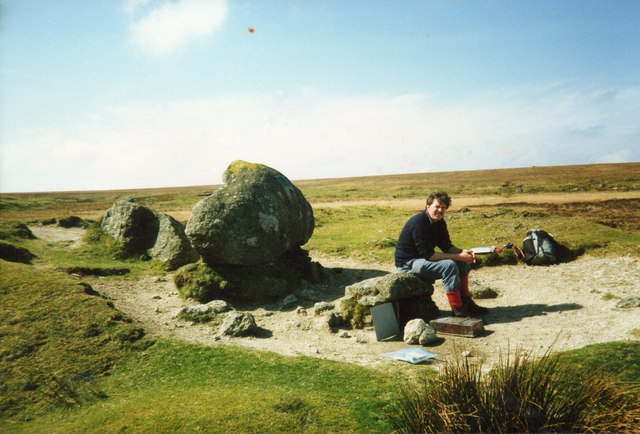
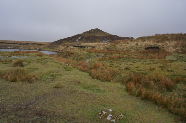
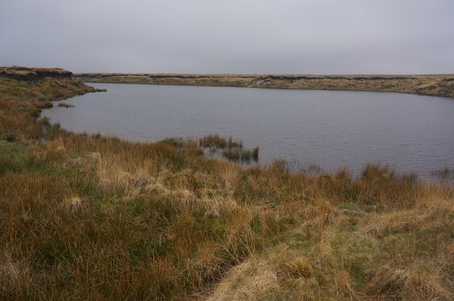
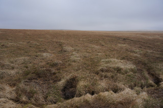
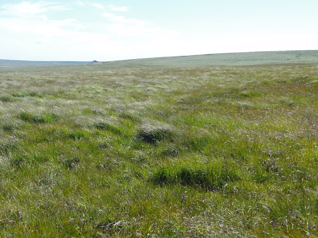
Naker's Hill Images
Images are sourced within 2km of 50.503165/-3.9140314 or Grid Reference SX6468. Thanks to Geograph Open Source API. All images are credited.
Naker's Hill is located at Grid Ref: SX6468 (Lat: 50.503165, Lng: -3.9140314)
Administrative County: Devon
District: West Devon
Police Authority: Devon and Cornwall
What 3 Words
///indicate.firelight.geese. Near Princetown, Devon
Nearby Locations
Related Wikis

Ryder's Hill
At 515 m, Ryder's Hill is the highest point on the southern part of Dartmoor, Devon, England. On its summit there are two standing stones and a low cairn...

Fox Tor
Fox Tor is a relatively minor tor on Dartmoor in the county of Devon, England.On the flank of the tor, about 500 m to the north stands Childe's Tomb -...

Duck's Pool, Dartmoor
Duck's Pool is a small depression set in a remote location in the southern half of Dartmoor, Devon, England at grid reference SX624678. It lies between...

Childe's Tomb
Childe's Tomb is a granite cross on Dartmoor, Devon, England. Although not in its original form, it is more elaborate than most of the crosses on Dartmoor...
Have you been to Naker's Hill?
Leave your review of Naker's Hill below (or comments, questions and feedback).