Edge Hill

Hill, Mountain in Ayrshire

Scotland

Edge Hill

Conveyor on edge of opencast coal workings
Conveyor on edge of opencast coal workings Credit: Alex McGregor

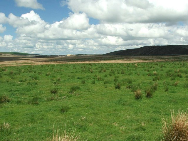
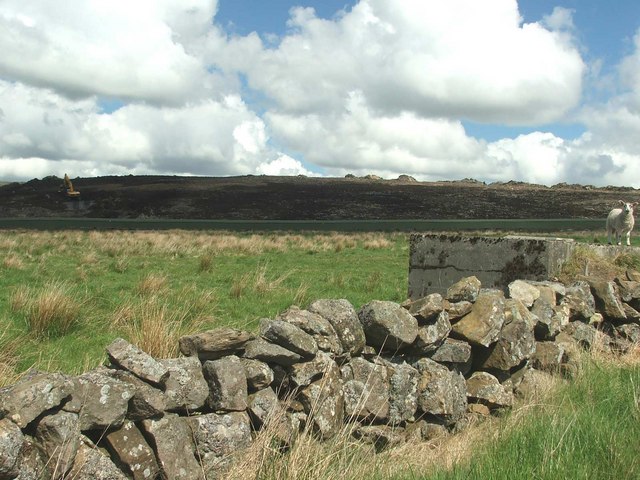
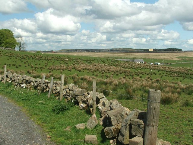
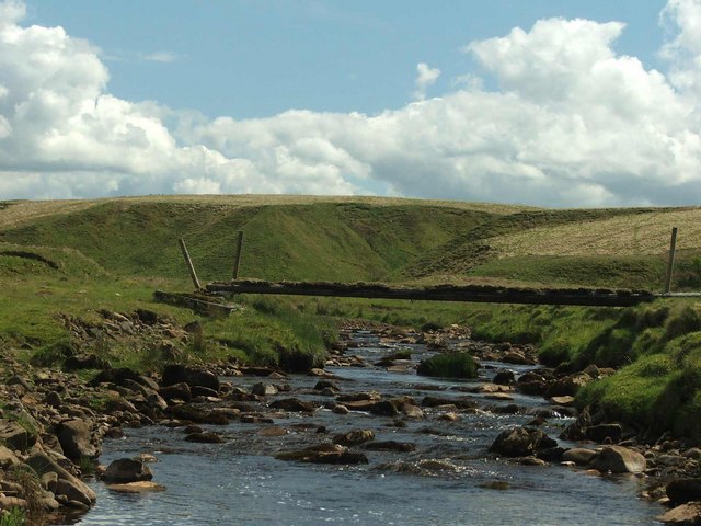
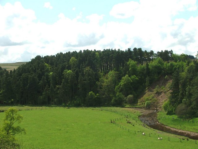
Edge Hill is a prominent hill located in Ayrshire, Scotland. It is situated near the town of Troon and overlooks the Firth of Clyde. Standing at a height of approximately 250 feet, Edge Hill offers stunning panoramic views of the surrounding countryside and coastline.

The hill is a popular destination for hikers and nature enthusiasts, with several well-marked trails leading to the summit. The terrain is mostly grassy with some rocky outcrops, making it a relatively easy climb for most skill levels.

At the peak of Edge Hill, visitors can enjoy breathtaking vistas of the Ayrshire coast, Arran Island, and even the distant peaks of the Scottish Highlands on a clear day. The hill is also home to a variety of wildlife, including birds of prey, deer, and wildflowers.

Overall, Edge Hill is a tranquil and picturesque spot that offers a peaceful retreat from the hustle and bustle of everyday life. Whether you are looking for a challenging hike or simply a place to relax and take in the natural beauty of Scotland, Edge Hill is a must-visit destination in Ayrshire.

If you have any feedback on the listing, please let us know in the comments section below.
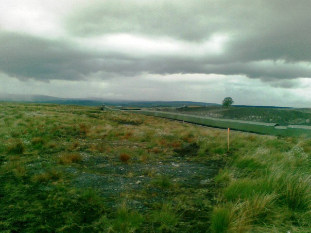
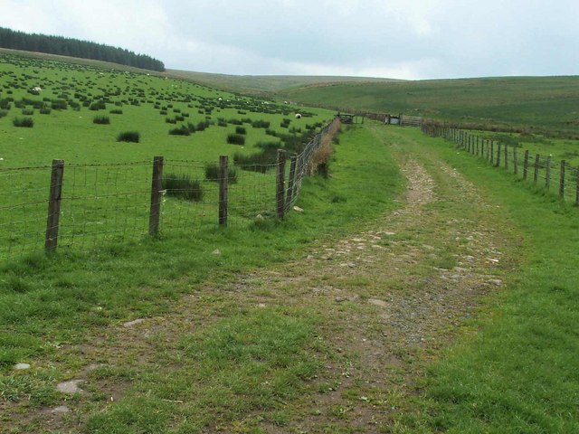
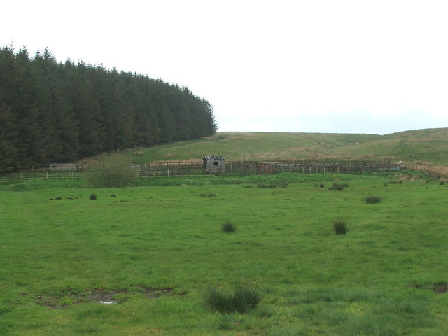
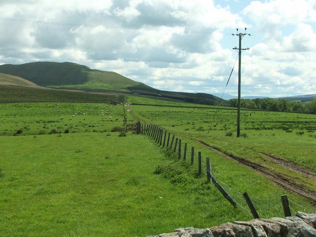
Edge Hill Images

Images are sourced within 2km of 55.429461/-4.1451176 or Grid Reference NS6417. Thanks to Geograph Open Source API. All images are credited.

Conveyor on edge of opencast coal workings
Footbridge over Guelt Water at Whiteholm
Whiteholm Ruin by Guelt Water
Whiteholm
Ruin by Guelt Water
Guelt Water at Whiteholm
Sheepfold & enclosure by Guelt Water
Guelt Water
Guelt Water
Sheepfold by Guelt Water
Remains of Kyle Castle The Guelt Water is the river on the left hand side
Remains of Kyle Castle
The Guelt Water is the river on the left hand side
View up the Pittairn Burn
Sheepfold.
Sheepfold.
An old cart track. This track leads Upper Linn which can just be seen in the distance.
An old cart track.
This track leads Upper Linn which can just be seen in the distance.
Looking across Watsonburn fields. Yet again I encounter more opencast mining in the area.
Looking across Watsonburn fields.
Yet again I encounter more opencast mining in the area.
Millstone knowe, no more. This is all that remains of the natural landscape in the area. I wonder how much further they are going.
A conveyor system is visible between the lamb and the soil heap. (Painted Khaki green.)
Millstone knowe, no more.
This is all that remains of the natural landscape in the area. I wonder how much further they are going. A conveyor system is visible between the lamb and the soil heap. (Painted Khaki green.)
High Polquheys. High on the hill with nothing around you but sheep and dump trucks, excavators, face shovels etc. Not really idyllic, is it?
High Polquheys.
High on the hill with nothing around you but sheep and dump trucks, excavators, face shovels etc. Not really idyllic, is it?
Landslip. Erosion on the banks of the Guelt Water.
Landslip.
Erosion on the banks of the Guelt Water.
Bridge across the Guelt Water It doesn't look very safe!
Bridge across the Guelt Water
It doesn't look very safe!
Des Res. Do you think the hut is a self builder's accommodation?

This is Whiteholm, abandoned years ago. There's no road, no neighbours, no electricity. The place has got to be worth a fortune!
Des Res.
Do you think the hut is a self builder's accommodation? This is Whiteholm, abandoned years ago. There's no road, no neighbours, no electricity. The place has got to be worth a fortune!
The Guelt Water Looking at the Guelt Water from near Kyle Castle.
The Guelt Water
Looking at the Guelt Water from near Kyle Castle.
Show me another place!

Edge Hill is located at Grid Ref: NS6417 (Lat: 55.429461, Lng: -4.1451176)

Unitary Authority: East Ayrshire

Police Authority: Ayrshire

What 3 Words

///wages.prepares.raven. Near New Cumnock, East Ayrshire

Nearby Locations

Edge Hill

Related Wikis

Mansfield, East Ayrshire

Mansfield is a village in East Ayrshire in Scotland. It is north of New Cumnock from which it is separated by the River Nith and the adjacent village of...

New Cumnock railway station

New Cumnock railway station is a railway station serving the town of New Cumnock, East Ayrshire, Scotland. The station is managed by ScotRail and is on...

Glenafton Athletic F.C.

Glenafton Athletic Football Club is a Scottish football club, based in New Cumnock, Ayrshire. Members of the Scottish Junior Football Association, they...

River Afton

The River Afton (or Afton Water) is a small river in Ayrshire, Scotland, which flows north from Alwhat Hill in the Carsphairn and Scaur Hills, through...

Have you been to Edge Hill?

Leave your review of Edge Hill below (or comments, questions and feedback).