Alhang

Hill, Mountain in Kirkcudbrightshire

Scotland

Alhang

Access road to Windy Rig Wind Farm
Access road to Windy Rig Wind Farm Credit: wrobison

Alhang is a hill located in the historical county of Kirkcudbrightshire, in the southern region of Scotland. With an altitude of approximately 314 meters (1,030 feet), it is classified as a mountain by the Scottish Mountaineering Club. Alhang is situated within the Galloway Forest Park, which is renowned for its stunning natural beauty and diverse wildlife.

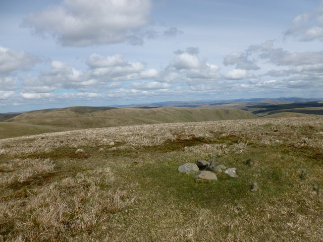
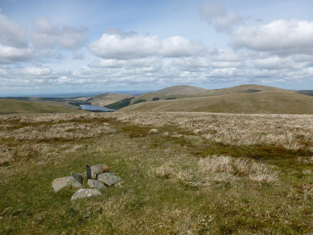
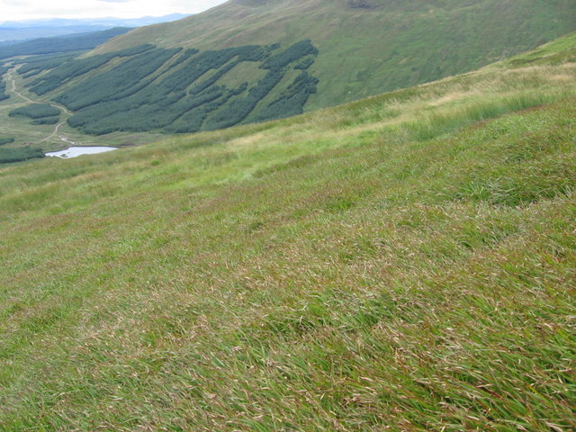
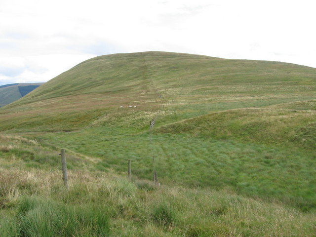
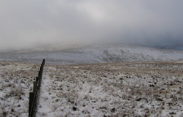
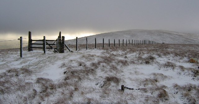
The hill is characterized by its gently sloping sides and rounded summit, making it a popular destination for hikers and nature enthusiasts. The surrounding landscape is dominated by picturesque moorland, heather-covered hills, and scattered woodlands, providing a tranquil and serene setting for visitors to explore.

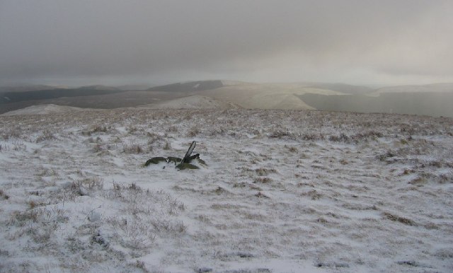
Alhang offers breathtaking panoramic views of the surrounding countryside, including the nearby Loch Ken and the Galloway Hills. On a clear day, one can even catch a glimpse of the Irish Sea in the distance. The hill is a haven for wildlife, with various bird species, such as red grouse and golden eagles, often spotted soaring above its slopes.

Access to Alhang is relatively straightforward, with well-marked trails and paths leading to its summit. The hill is located approximately 10 miles northwest of the town of Castle Douglas, making it easily accessible for both locals and tourists.

Alhang provides a wonderful opportunity for outdoor enthusiasts to immerse themselves in the natural beauty of Kirkcudbrightshire, offering a peaceful retreat away from the hustle and bustle of urban life.

If you have any feedback on the listing, please let us know in the comments section below.
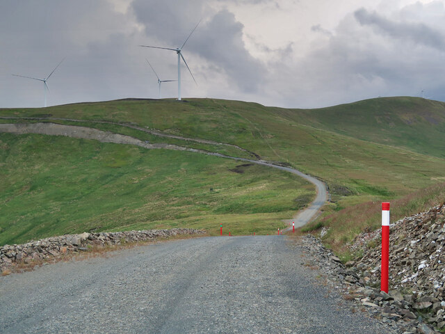
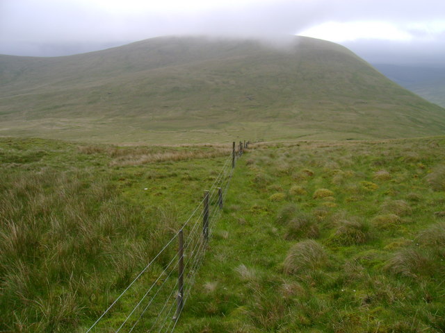
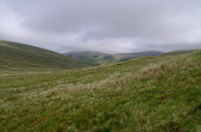
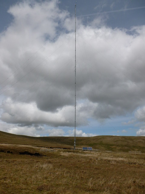
Alhang Images

Images are sourced within 2km of 55.284571/-4.1392935 or Grid Reference NS6401. Thanks to Geograph Open Source API. All images are credited.

Access road to Windy Rig Wind Farm
Along the fence to Alhang This fence descends from the col between Windy Standard and Millaneoch Hill to the lower col between Alhang and the two aforementioned hills before climbing towards the summit of Alhang.  It comes close to marking the boundary between East Ayrshire and Dumfries and Galloway, although the boundary follows the watershed more closely along this stretch.
Along the fence to Alhang
This fence descends from the col between Windy Standard and Millaneoch Hill to the lower col between Alhang and the two aforementioned hills before climbing towards the summit of Alhang. It comes close to marking the boundary between East Ayrshire and Dumfries and Galloway, although the boundary follows the watershed more closely along this stretch.
Rough grazing below Alhang Rough grazing land on the northwestern slopes of Alhang, near the head of the Afton Valley.
Rough grazing below Alhang
Rough grazing land on the northwestern slopes of Alhang, near the head of the Afton Valley.
Upper reaches of Small Cleugh This burn drains off Ewe Hill through the deeply eroded cleugh.
Upper reaches of Small Cleugh
This burn drains off Ewe Hill through the deeply eroded cleugh.
Fence on Ewe Hill A slight rise up to the 575m point on Ewe Hill.
Fence on Ewe Hill
A slight rise up to the 575m point on Ewe Hill.
Anemometer mast between Alwhat and Ewe Hill A 22 turbine wind farm (Lorg Wind Farm) is proposed by EoN for these hills - this mast is monitoring wind speed and direction.
Anemometer mast between Alwhat and Ewe Hill
A 22 turbine wind farm (Lorg Wind Farm) is proposed by EoN for these hills - this mast is monitoring wind speed and direction.
Summit of Alhang - view towards Lowther Hills A wind turbine and ugly service roads may soon be dominating the summit of this peaceful hill as part of EoN's proposed 22 turbine Lorg Wind Farm.

The tiny cairn is marked as a boundary stone on the 1:25000 map.  It is (roughly) on the old county boundary between Ayrshire and Kirkcudbrightshire.
Summit of Alhang - view towards Lowther Hills
A wind turbine and ugly service roads may soon be dominating the summit of this peaceful hill as part of EoN's proposed 22 turbine Lorg Wind Farm. The tiny cairn is marked as a boundary stone on the 1:25000 map. It is (roughly) on the old county boundary between Ayrshire and Kirkcudbrightshire.
Summit of Alhang - view towards Afton Reservoir A wind turbine and ugly service roads may soon be dominating the summit of this peaceful hill as part of EoN's proposed 22 turbine Lorg Wind Farm.

The tiny cairn is marked as a boundary stone on the 1:25000 map. It is (roughly) on the old county boundary between Ayrshire and Kirkcudbrightshire.
Summit of Alhang - view towards Afton Reservoir
A wind turbine and ugly service roads may soon be dominating the summit of this peaceful hill as part of EoN's proposed 22 turbine Lorg Wind Farm. The tiny cairn is marked as a boundary stone on the 1:25000 map. It is (roughly) on the old county boundary between Ayrshire and Kirkcudbrightshire.
Mid Rig A spur leading south-east from Alhang.
Mid Rig
A spur leading south-east from Alhang.
Ewe Hill forestry plantations Sitka spruce plantations above the valley of the Spout Burn.
Ewe Hill forestry plantations
Sitka spruce plantations above the valley of the Spout Burn.
New fence on Mid Rig An electric fence to keep sheep away from the steep drops on the right.
New fence on Mid Rig
An electric fence to keep sheep away from the steep drops on the right.
Water of Ken valley from Mid Rig Looking down the steep spur leading down from Alhang to the farm land at Holm of Dalquhairn.
Water of Ken valley from Mid Rig
Looking down the steep spur leading down from Alhang to the farm land at Holm of Dalquhairn.
Below Bawnhead
Below Bawnhead
Mid Hill of Glenhead
Holm Burn from Mid Hill of Glenhead
Alwhat Looking along the fence between Alwhat and Meikledod Hill.
Alwhat
Looking along the fence between Alwhat and Meikledod Hill.
Summit of Alwhat Alwhat (628m) at the head of the Afton Water.
Summit of Alwhat
Alwhat (628m) at the head of the Afton Water.
Alhang summit Marked by a cairn. Accessible stone is rare here, it's under the peat, so not every top is cairned.
Alhang summit
Marked by a cairn. Accessible stone is rare here, it's under the peat, so not every top is cairned.
Show me another place!

Alhang is located at Grid Ref: NS6401 (Lat: 55.284571, Lng: -4.1392935)

Unitary Authority: Dumfries and Galloway

Police Authority: Dumfries and Galloway

What 3 Words

///strong.opts.developed. Near New Cumnock, East Ayrshire

Nearby Locations

Alhang

Related Wikis

Windy Standard

Windy Standard is a hill in the Carsphairn and Scaur Hills range, part of the Southern Uplands of Scotland. It lies in Dumfries and Galloway, south of...

Blackcraig Hill

Blackcraig Hill is a hill in the Carsphairn and Scaur Hills range, part of the Southern Uplands of Scotland. It lies southeast of the town of New Cumnock...

Cairnsmore of Carsphairn

Cairnsmore of Carsphairn is a hill in the Carsphairn and Scaur Hills range, part of the Southern Uplands of Scotland. An alternative name, rarely used...

Have you been to Alhang?

Leave your review of Alhang below (or comments, questions and feedback).