Kennon Hill

Hill, Mountain in Devon West Devon

England

Kennon Hill

The turning to Throwleigh On the road between South Zeal and Gidleigh.
The turning to Throwleigh Credit: Andrew Abbott

Kennon Hill is a prominent landmark located in the county of Devon, England. Situated near the town of Bideford, it is a popular destination for hikers, nature enthusiasts, and those seeking panoramic views of the surrounding countryside. The hill stands at an elevation of approximately 255 meters above sea level, making it one of the highest points in the area.

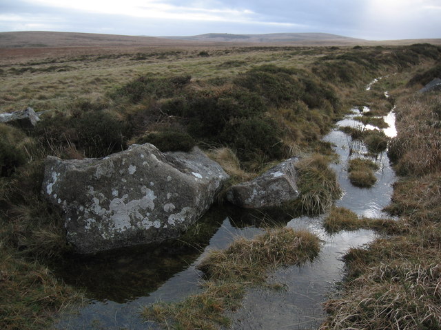
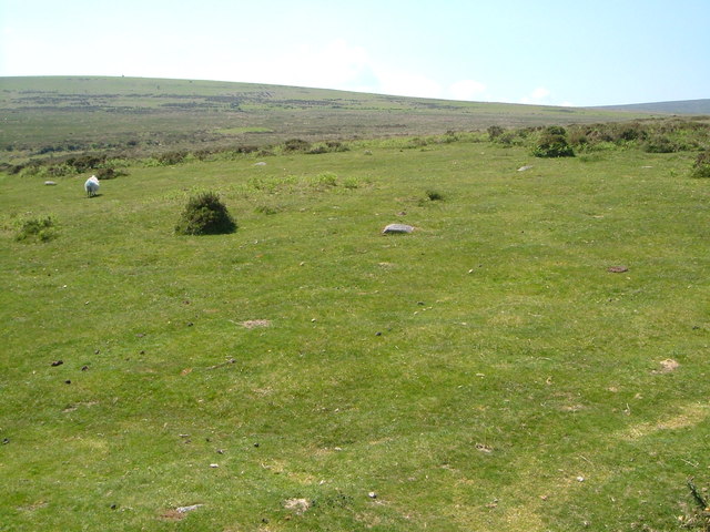
Kennon Hill is known for its rugged terrain, with steep slopes and rocky outcrops providing a challenge for those looking to reach the summit. The hill is covered in lush greenery, including a variety of native plants and trees, creating a picturesque setting for visitors to enjoy.

From the top of Kennon Hill, visitors are treated to stunning views of the rolling hills of Devon, as well as the nearby coastline and the shimmering waters of the Bristol Channel. On a clear day, it is possible to see as far as the distant hills of Exmoor National Park.

Overall, Kennon Hill is a beautiful and rewarding destination for those looking to explore the natural beauty of Devon and take in the breathtaking views of the surrounding landscape.

If you have any feedback on the listing, please let us know in the comments section below.
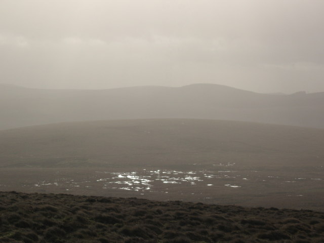
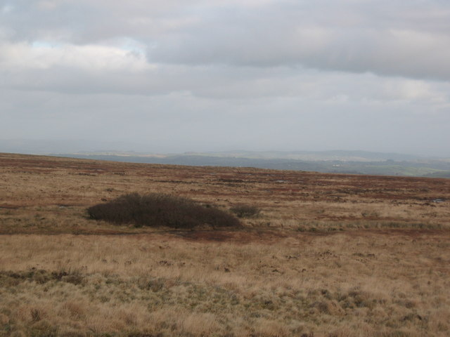
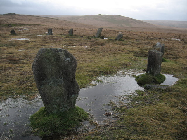
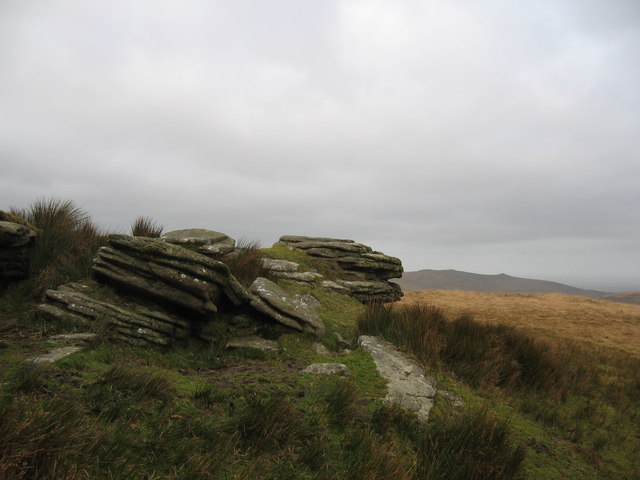
Kennon Hill Images

Images are sourced within 2km of 50.687858/-3.9230404 or Grid Reference SX6489. Thanks to Geograph Open Source API. All images are credited.

The turning to Throwleigh On the road between South Zeal and Gidleigh.
The turning to Throwleigh
On the road between South Zeal and Gidleigh.
Lane near Shilstone The lane up the edge of the open moor from Ensworthy, seen at a double bend in horrible weather. A driving thick drizzle, and yet strangely light, as if the sun isn't far away.
Lane near Shilstone
The lane up the edge of the open moor from Ensworthy, seen at a double bend in horrible weather. A driving thick drizzle, and yet strangely light, as if the sun isn't far away.
Emsworth Cottage On the edge of Dartmoor.
Emsworth Cottage
On the edge of Dartmoor.
Near Great Ensworthy Looking north towards Dartmoor
Near Great Ensworthy
Looking north towards Dartmoor
Road and moorland Near Great Ensworthy.
Road and moorland
Near Great Ensworthy.
Road near Great Ensworthy Looking north, with Dartmoor on the left.
Road near Great Ensworthy
Looking north, with Dartmoor on the left.
Near Great Ensworthy Looking south towards Dartmoor.
Near Great Ensworthy
Looking south towards Dartmoor.
Rival Tor Also known as Rippator and Rifle Tor.
Rival Tor
Also known as Rippator and Rifle Tor.
Gallaven Brook
Gallaven Brook
Raybarrow Pool
Raybarrow Pool
The edge of Raybarrow Pool
Stone circle, White Moor Down Steeperton Tor in the distance.
Stone circle, White Moor Down
Steeperton Tor in the distance.
Hound Tor
Hound Tor
Bridleway, Cosdon Hill
Cottage, Ensworthy At the edge of the moorland shown in <a href="https://www.geograph.org.uk/photo/3004991">SX6689 : Moorland near Moortown</a>, with a garden that had been, at the time this was taken, incorrectly classified as common land (situation since rectified).
Cottage, Ensworthy
At the edge of the moorland shown in SX6689 : Moorland near Moortown, with a garden that had been, at the time this was taken, incorrectly classified as common land (situation since rectified).
Shilstone Tor Another view of <a href="https://www.geograph.org.uk/photo/185824">SX6590 : Shilstone Tor</a>; see also <a href="https://www.geograph.org.uk/photo/1743870">SX6590 : Shilstone Tor</a> and <a href="https://www.geograph.org.uk/photo/3015852">SX6590 : Shilstone Tor</a>. Gorse bushes grow on this eastern sloping face.
Shilstone Tor
Another view of SX6590 : Shilstone Tor; see also SX6590 : Shilstone Tor and SX6590 : Shilstone Tor. Gorse bushes grow on this eastern sloping face.
Shilstone Tor A similar scene to <a href="https://www.geograph.org.uk/photo/1743870">SX6590 : Shilstone Tor</a>, with the view behind extending across the Teign valley. See also <a href="https://www.geograph.org.uk/photo/3015842">SX6590 : Shilstone Tor</a>.
Shilstone Tor
A similar scene to SX6590 : Shilstone Tor, with the view behind extending across the Teign valley. See also SX6590 : Shilstone Tor.
Throwleigh Common Looking out into the open moor from close to the spot where <a href="https://www.geograph.org.uk/photo/3015852">SX6590 : Shilstone Tor</a> was taken.  A ewe flounces off.
Throwleigh Common
Looking out into the open moor from close to the spot where SX6590 : Shilstone Tor was taken. A ewe flounces off.
Show me another place!

Kennon Hill is located at Grid Ref: SX6489 (Lat: 50.687858, Lng: -3.9230404)

Administrative County: Devon

District: West Devon

Police Authority: Devon and Cornwall

What 3 Words

///eagles.fronted.sparkles. Near Chagford, Devon

Nearby Locations

Kennon Hill

Related Wikis

Central Devon (UK Parliament constituency)

Central Devon is a constituency represented in the House of Commons of the UK Parliament since 2010 by Mel Stride, a Conservative. == History == The constituency...

Cosdon Hill

Cosdon Hill, also called Cosdon Beacon, or Cawsand Beacon, is one of the highest hills on Dartmoor, in Devon, England. It has numerous traces of prehistoric...

Scorhill

Scorhill (pronounced Scorill) Stone Circle is now the commonly known name for Gidleigh Stone Circle or Steep Hill Stone Circle, one of Devon's biggest...

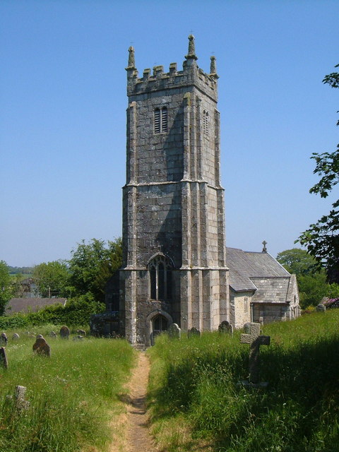
St Mary's Church, Throwleigh

St Mary's Church dates from the late 13th-century, and is a Grade I listed parish church in the Church of England Diocese of Exeter in Throwleigh, Devon...

Nearby Amenities

Located within 500m of 50.687858,-3.9230404
Kennon Hill
Ele: 478
Natural: peak
Source: OS 1:25k
Lat/Long: 50.6878708/-3.9231109
The data included in this document is from www.openstreetmap.org. The data is made available under ODbL.

Have you been to Kennon Hill?

Leave your review of Kennon Hill below (or comments, questions and feedback).