Giles's Hill

Hill, Mountain in Kirkcudbrightshire

Scotland

Giles's Hill

Fire Station, New Galloway The fire station on the south side of the A712 seen across a lawned area.
Fire Station, New Galloway Credit: Trevor Littlewood

Giles's Hill is a prominent hill located in the historical county of Kirkcudbrightshire, in southwestern Scotland. Situated near the town of Kirkcudbright, this natural elevation stands at an approximate height of 253 meters (830 feet) above sea level.

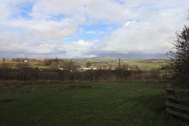
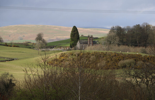
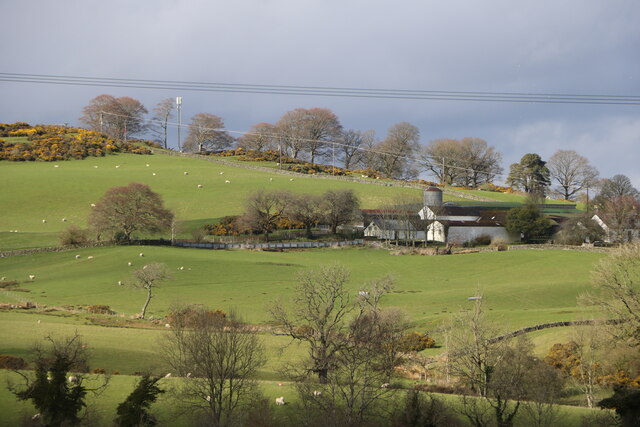
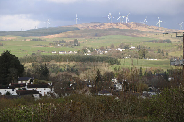
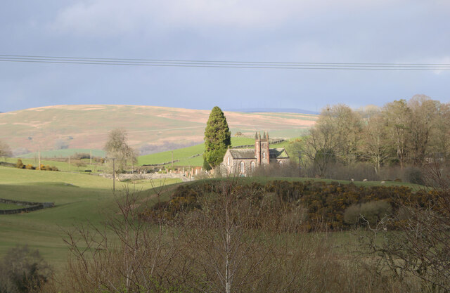
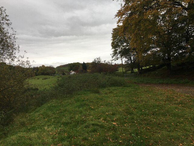
The hill is characterized by its gently sloping terrain and lush vegetation, making it a popular destination for hikers and nature enthusiasts. Its strategic location provides panoramic views of the surrounding countryside, including the town of Kirkcudbright, the River Dee, and the Solway Firth.

The hill is named after Giles, a legendary figure believed to have been a local healer or wise woman who lived in the area. According to folklore, Giles possessed supernatural powers, and the hill was said to be a place of healing and magic. Today, there are no physical remnants or structures associated with Giles on the hill, but the name has endured.

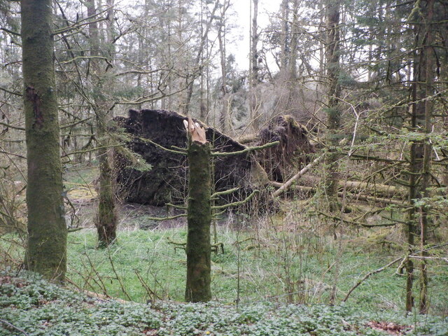
Giles's Hill is a haven for wildlife, with various species of birds, small mammals, and wildflowers thriving in its diverse ecosystem. It is also home to a rich archaeological history, with prehistoric remains and ancient settlements discovered in the vicinity.

Accessible by foot, Giles's Hill offers several well-marked trails for visitors to explore. The hill's tranquil setting and stunning views make it an ideal spot for picnicking, photography, or simply enjoying the beauty of the Scottish countryside.

If you have any feedback on the listing, please let us know in the comments section below.
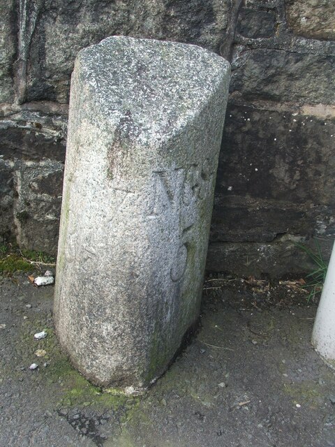
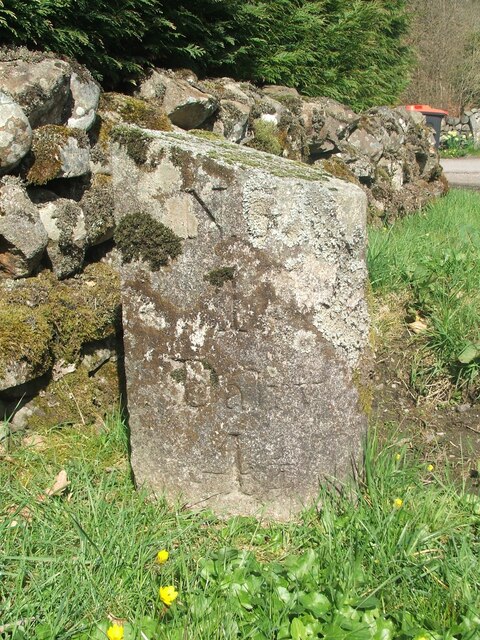
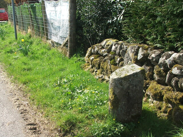
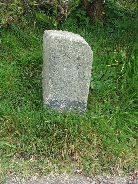
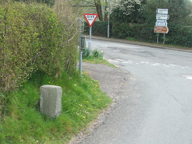
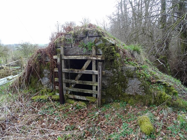
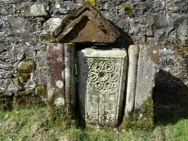
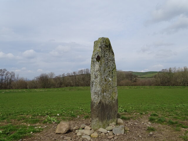
Giles's Hill Images

Images are sourced within 2km of 55.071308/-4.1420549 or Grid Reference NX6377. Thanks to Geograph Open Source API. All images are credited.

Fire Station, New Galloway The fire station on the south side of the A712 seen across a lawned area.
Fire Station, New Galloway
The fire station on the south side of the A712 seen across a lawned area.
New Galloway Episcopalian Church Located on the main route into the village from Ken Bridge.
New Galloway Episcopalian Church
Located on the main route into the village from Ken Bridge.
Farmland at New Galloway Viewed from the Old Edinburgh Road.
Farmland at New Galloway
Viewed from the Old Edinburgh Road.
Kells Parish Church, New Galloway Viewed from the Old Edinburgh Road.
Kells Parish Church, New Galloway
Viewed from the Old Edinburgh Road.
Viewfield Farm, New Galloway Viewed from the Old Edinburgh Road.
Viewfield Farm, New Galloway
Viewed from the Old Edinburgh Road.
New Galloway Viewed from the Old Edinburgh Road. With a view to a Windfarm.
New Galloway
Viewed from the Old Edinburgh Road. With a view to a Windfarm.
Kells Parish Church in Sunlight Viewed from the Old Edinburgh Road.
Kells Parish Church in Sunlight
Viewed from the Old Edinburgh Road.
Farmer and Sheepdogs, New Galloway On the Old Edinburgh Road.
Farmer and Sheepdogs, New Galloway
On the Old Edinburgh Road.
Old milestone When railways were constructed across the hills of Kirkcudbright and Wigtonshire the stations were often several miles from the nearest large settlement.   The station for New Galloway was 5 miles to the south along the west bank of Loch Ken and on to Mossdale.    Milestones of this shape are found on several of the roads leading to stations.  From New Galloway it is 5 miles to the station.   This stone is in the village centre near The Smithy Tea Room.
Old milestone
When railways were constructed across the hills of Kirkcudbright and Wigtonshire the stations were often several miles from the nearest large settlement. The station for New Galloway was 5 miles to the south along the west bank of Loch Ken and on to Mossdale. Milestones of this shape are found on several of the roads leading to stations. From New Galloway it is 5 miles to the station. This stone is in the village centre near The Smithy Tea Room.
Old milestone The next 'railway' milestone south of New Galloway is at the entrance to Todstone Cottage.  N G/ 1/ Dalry/4¼ on the left face.
Old milestone
The next 'railway' milestone south of New Galloway is at the entrance to Todstone Cottage. N G/ 1/ Dalry/4¼ on the left face.
Old milestone The right hand face is in the shade on this sunny day but beneath the lichens the inscription is N.G.St.n/4.  The property was surrounded by this high fencing and several dogs were barking.
Old milestone
The right hand face is in the shade on this sunny day but beneath the lichens the inscription is N.G.St.n/4. The property was surrounded by this high fencing and several dogs were barking.
Old milestone This milestone in the centre of New Galloway on the A712 indicates 24 miles from Dumfries.   It is another 18 miles to Newton Stewart.
Old milestone
This milestone in the centre of New Galloway on the A712 indicates 24 miles from Dumfries. It is another 18 miles to Newton Stewart.
Old milestone The crossroads in New Galloway, with a road north following the Water of Ken for 3 or 4 miles to Earlstoun Loch.   Crocketford is to the east on the way to Dumfries.
Old milestone
The crossroads in New Galloway, with a road north following the Water of Ken for 3 or 4 miles to Earlstoun Loch. Crocketford is to the east on the way to Dumfries.
Kenmure Castle An old ice-house by Kenmure Castle.
Kenmure Castle
An old ice-house by Kenmure Castle.
Kenmure Castle Part of an incised cross-slab set against the wall of the walled garden at Kenmure Castle.
Kenmure Castle
Part of an incised cross-slab set against the wall of the walled garden at Kenmure Castle.
Dalarran Standing Stone The standing stone of Dalarran.
Dalarran Standing Stone
The standing stone of Dalarran.
Windthrow near New Galloway By Sentry Knowe.
Windthrow near New Galloway
By Sentry Knowe.
Farmland near Garplefoot
Show me another place!

Giles's Hill is located at Grid Ref: NX6377 (Lat: 55.071308, Lng: -4.1420549)

Unitary Authority: Dumfries and Galloway

Police Authority: Dumfries and Galloway

What 3 Words

///impose.sprains.pictured. Near Castle Douglas, Dumfries & Galloway

Related Wikis

New Galloway Town Hall

The New Galloway Town Hall is a municipal building in Dumfries and Galloway, Scotland, situated on the town's high street. A tolbooth has existed on the...

New Galloway

New Galloway (Scottish Gaelic: Gall-Ghàidhealaibh Nuadh) is a town in the historical county of Kirkcudbrightshire in Dumfries and Galloway. It lies on...

Water of Ken

The Water of Ken is a river in the historical county of Kirkcudbrightshire in Galloway, south-west Scotland.It rises on Blacklorg Hill, north-east of Cairnsmore...

Kenmure Castle

Kenmure Castle is a fortified house or castle in The Glenkens, 1 mile (1.6 km) south of the town of New Galloway in Kirkcudbrightshire, Galloway, south...

Nearby Amenities

Located within 500m of 55.071308,-4.1420549
New Galloway
Is In: Dumfries and Galloway
Name En: New Galloway
Name Gd: Gall-Ghàidhealaibh Nuadh
Name Sco: New Gallowa
Place: village
Wikidata: Q3778560
Wikipedia: en:New Galloway
Lat/Long: 55.0739923/-4.1408085
Telephone
Booth: K6
Colour: blue
Covered: booth
Man Made: telephone_box
Tourism: information
Lat/Long: 55.0749085/-4.1409867
Bus Stop
Post Office
Naptan AtcoCode: 680000077111
Naptan Bearing: N
Naptan CommonName: Post Office
Naptan Indicator: opp PO
Naptan Landmark: Post Office
Naptan NaptanCode: 34235789
Naptan Notes: none
Naptan Street: Main Street
Naptan Verified: no
Source: naptan_import
Lat/Long: 55.0736552/-4.1409552
Bus Stop
Post Office
Naptan AtcoCode: 680000077222
Naptan Bearing: S
Naptan CommonName: Post Office
Naptan Indicator: o/s PO
Naptan Landmark: Post Office
Naptan NaptanCode: 34235787
Naptan Notes: none
Naptan Street: Main Street
Naptan Verified: no
Source: naptan_import
Lat/Long: 55.0737115/-4.1408172
Bus Stop
East Port
Naptan AtcoCode: 680000077503
Naptan Bearing: S
Naptan CommonName: East Port
Naptan Indicator: Old Edinburgh
Naptan NaptanCode: 34238979
Naptan Street: East Port
Naptan Verified: no
Source: naptan_import
Lat/Long: 55.0738528/-4.1394306
Post Office
New Galloway Post Office
Addr City: Castle Douglas
Addr Country: GB
Addr Postcode: DG7 3RL
Addr Street: High Street
Addr Village: New Galloway
Brand: Post Office
Brand Wikidata: Q1783168
Check Date: 2022-05-27
Check Date Opening Hours: 2022‑05‑27
Contact Website: https://www.postoffice.co.uk/branch-finder/1548182/new-galloway
Opening Hours: Mo-We,Fr 09:00-13:00,14:00-16:00; Th,Sa 09:00-12:30
Ref Pol Id: 3176
Lat/Long: 55.0736349/-4.1407029
Shelter
Shelter Type: gazebo
Lat/Long: 55.0752807/-4.1405886
Drill Tower
Man Made: tower
Lat/Long: 55.0754786/-4.1425408
Power: pole
Lat/Long: 55.0735635/-4.1482573
Power: pole
Lat/Long: 55.0733798/-4.1469593
Power: pole
Lat/Long: 55.0731864/-4.1455805
Power: pole
Lat/Long: 55.0732862/-4.1441316
Power: pole
Lat/Long: 55.0728398/-4.1459013
Power: pole
Lat/Long: 55.0726026/-4.1447392
Power: pole
Lat/Long: 55.0723824/-4.1436727
Power: pole
Lat/Long: 55.0721039/-4.1423981
Power: pole
Lat/Long: 55.0744587/-4.1379579
Power: pole
Lat/Long: 55.0739928/-4.1370444
Power: pole
Lat/Long: 55.0732813/-4.136798
Power: pole
Lat/Long: 55.0725649/-4.1365452
Power: pole
Lat/Long: 55.0718606/-4.1363051
Power: pole
Lat/Long: 55.0712074/-4.1360863
Power: pole
Lat/Long: 55.0704557/-4.1356062
Cafe
Lat/Long: 55.0751718/-4.1411761
Parking
Lat/Long: 55.0739697/-4.1392049
Man Made: flagpole
Lat/Long: 55.0755169/-4.1404307
Post Box
Operator: Royal Mail
Post Box Mounting: pier
Post Box Type: lamp
Ref: DG7 26
Royal Cypher: scottish_crown
Lat/Long: 55.0736005/-4.1407976
The data included in this document is from www.openstreetmap.org. The data is made available under ODbL.

Have you been to Giles's Hill?

Leave your review of Giles's Hill below (or comments, questions and feedback).