Airds Hill

Hill, Mountain in Ayrshire

Scotland

Airds Hill

Conveyor on edge of opencast coal workings
Conveyor on edge of opencast coal workings Credit: Alex McGregor

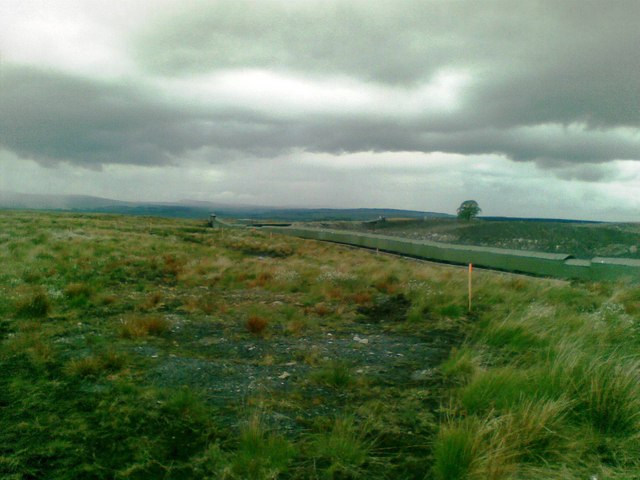
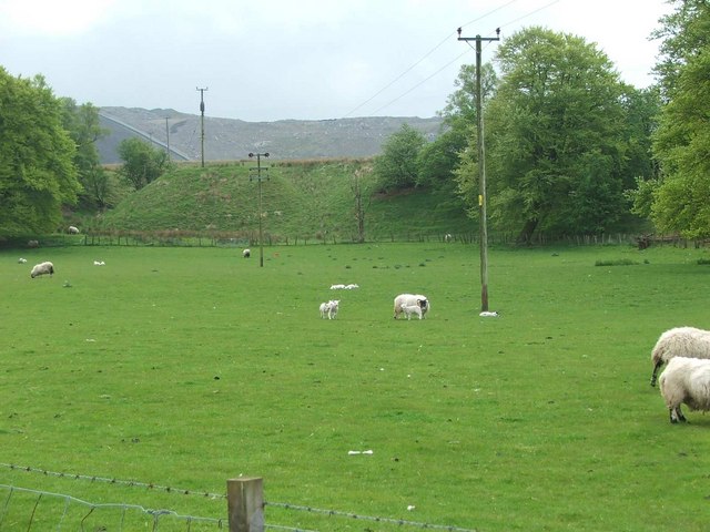
Airds Hill is a prominent hill located in Ayrshire, Scotland. Situated approximately 6 miles northeast of the town of Ayr, it is part of the Carrick Hills and offers breathtaking panoramic views of the surrounding countryside. With an elevation of approximately 278 meters (912 feet), Airds Hill is not classified as a mountain but rather a hill, yet its commanding presence and the beauty of its surroundings make it a popular destination for hikers and nature enthusiasts.

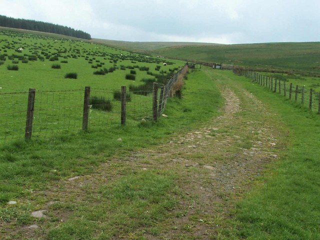
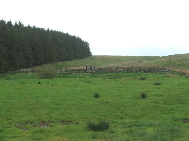
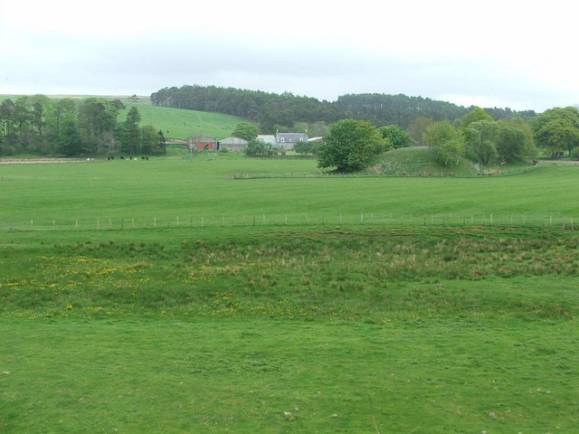
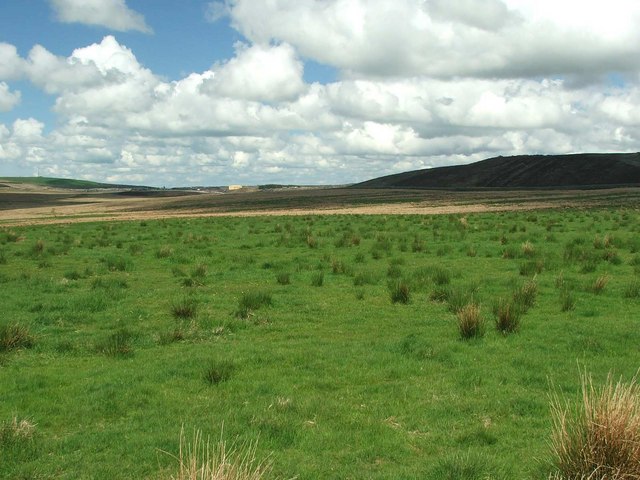
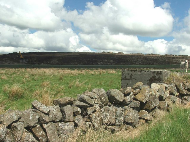
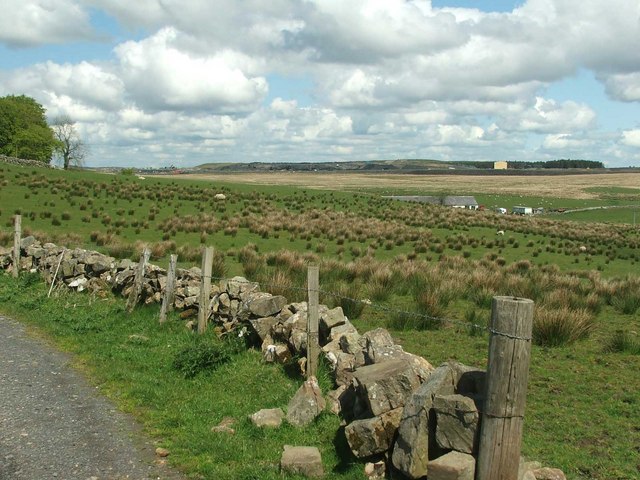
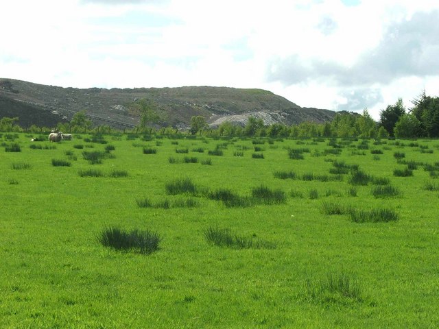
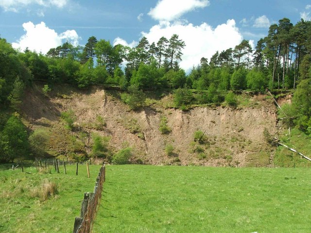
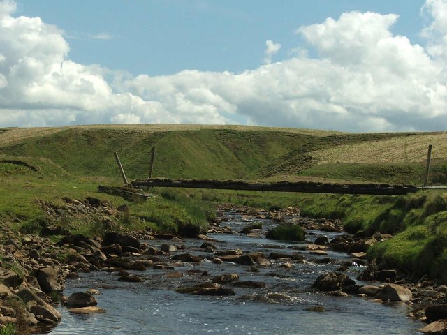
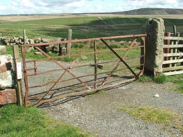
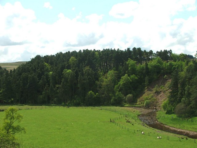
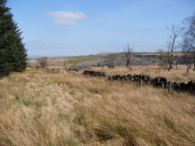
The hill is covered in lush green vegetation, with grassy slopes and scattered patches of woodland. It is home to a variety of plant and animal species, adding to its ecological value. The terrain is generally moderate, making it accessible to walkers of different abilities. There are several well-marked trails that lead to the summit, providing visitors with the opportunity to explore the hill's diverse landscape.

Once at the top, visitors are rewarded with breathtaking views across the Ayrshire countryside, including the Firth of Clyde to the west and the majestic peaks of the Galloway Hills to the south. On clear days, it is even possible to see the distant isle of Arran. This vantage point offers a peaceful and serene atmosphere, perfect for relaxation and contemplation.

Airds Hill is also of historical significance, with remnants of ancient hillforts and burial sites dating back thousands of years. These archaeological features serve as a reminder of the hill's rich past and the human presence in the area throughout the ages.

Overall, Airds Hill is a captivating natural landmark that combines stunning views, abundant wildlife, and a touch of history, making it an ideal destination for those seeking a tranquil escape amidst the beauty of the Scottish countryside.

If you have any feedback on the listing, please let us know in the comments section below.

Airds Hill Images

Images are sourced within 2km of 55.432783/-4.1616893 or Grid Reference NS6317. Thanks to Geograph Open Source API. All images are credited.

Conveyor on edge of opencast coal workings
Dalblair Bridge Over the Glenmuir Water
Dalblair Bridge
Over the Glenmuir Water
Sheep grazing at Garleffan Farm Typical agricultural land with a massive opencast coal site in the background. A conveyor is clearly visible for transporting coal to a more accessible point for transport and distribution.
Sheep grazing at Garleffan Farm
Typical agricultural land with a massive opencast coal site in the background. A conveyor is clearly visible for transporting coal to a more accessible point for transport and distribution.
The Glenmuir Water. The Glenmuir Water is a tributary of the Lugar Water which is in turn a tributary of the River Ayr.
The Glenmuir Water.
The Glenmuir Water is a tributary of the Lugar Water which is in turn a tributary of the River Ayr.
View up the Pittairn Burn
Sheepfold.
Sheepfold.
Dornal farm. Dornal Farm with manmade earth mound in the mid distance.
Dornal farm.
Dornal Farm with manmade earth mound in the mid distance.
View from Dalblair bridge. The Glenmuir looking downstream from Dalblair bridge.
View from Dalblair bridge.
The Glenmuir looking downstream from Dalblair bridge.
Looking across Watsonburn fields. Yet again I encounter more opencast mining in the area.
Looking across Watsonburn fields.
Yet again I encounter more opencast mining in the area.
Millstone knowe, no more. This is all that remains of the natural landscape in the area. I wonder how much further they are going.
A conveyor system is visible between the lamb and the soil heap. (Painted Khaki green.)
Millstone knowe, no more.
This is all that remains of the natural landscape in the area. I wonder how much further they are going. A conveyor system is visible between the lamb and the soil heap. (Painted Khaki green.)
High Polquheys. High on the hill with nothing around you but sheep and dump trucks, excavators, face shovels etc. Not really idyllic, is it?
High Polquheys.
High on the hill with nothing around you but sheep and dump trucks, excavators, face shovels etc. Not really idyllic, is it?
High Garleffan? I think it's safe to assume that High Garleffan has well and truly disappeared.
Yet more opencast workings.
High Garleffan?
I think it's safe to assume that High Garleffan has well and truly disappeared. Yet more opencast workings.
Landslip. Erosion on the banks of the Guelt Water.
Landslip.
Erosion on the banks of the Guelt Water.
Bridge across the Guelt Water It doesn't look very safe!
Bridge across the Guelt Water
It doesn't look very safe!
Old Gate. The last gate before the farm.
Old Gate.
The last gate before the farm.
The Guelt Water Looking at the Guelt Water from near Kyle Castle.
The Guelt Water
Looking at the Guelt Water from near Kyle Castle.
Opencast workings Part of the large opencast coal mine at Garleffan, viewed from the edge of the forest
Opencast workings
Part of the large opencast coal mine at Garleffan, viewed from the edge of the forest
Changed landscape The scenery in this area is somewhat different from what is marked on the map, due to opencast coal mining. High Garleffan is (or was!) in there somewhere
Changed landscape
The scenery in this area is somewhat different from what is marked on the map, due to opencast coal mining. High Garleffan is (or was!) in there somewhere
Show me another place!

Airds Hill is located at Grid Ref: NS6317 (Lat: 55.432783, Lng: -4.1616893)

Unitary Authority: East Ayrshire

Police Authority: Ayrshire

What 3 Words

///outnumber.clouds.hurtles. Near New Cumnock, East Ayrshire

Related Wikis

Mansfield, East Ayrshire

Mansfield is a village in East Ayrshire in Scotland. It is north of New Cumnock from which it is separated by the River Nith and the adjacent village of...

New Cumnock railway station

New Cumnock railway station is a railway station serving the town of New Cumnock, East Ayrshire, Scotland. The station is managed by ScotRail and is on...

Glenafton Athletic F.C.

Glenafton Athletic Football Club is a Scottish football club, based in New Cumnock, Ayrshire. Members of the Scottish Junior Football Association, they...
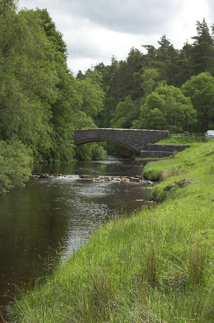
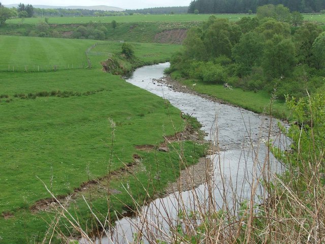
River Afton

The River Afton (or Afton Water) is a small river in Ayrshire, Scotland, which flows north from Alwhat Hill in the Carsphairn and Scaur Hills, through...

Have you been to Airds Hill?

Leave your review of Airds Hill below (or comments, questions and feedback).