Achie Hill
Hill, Mountain in Kirkcudbrightshire
Scotland
Achie Hill
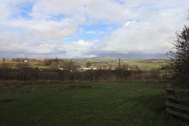
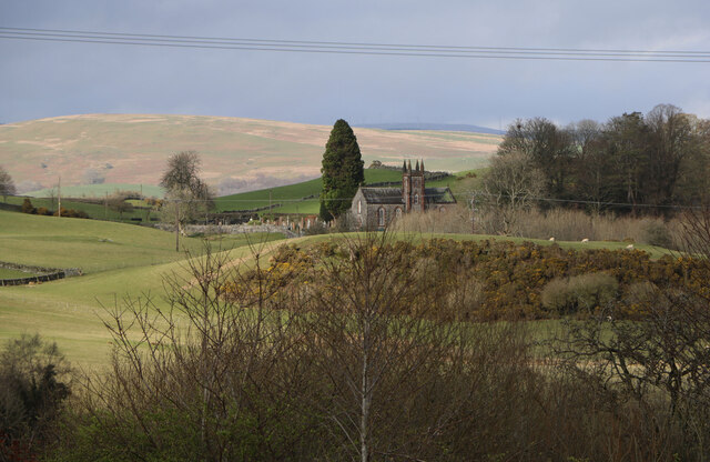
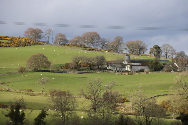
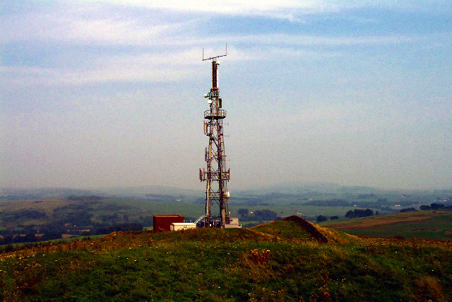
Achive Hill, located in Kirkcudbrightshire, is a prominent hill that forms part of the scenic landscape in southern Scotland. Rising to an elevation of approximately 270 meters (886 feet), it offers stunning panoramic views of the surrounding countryside and coastline.
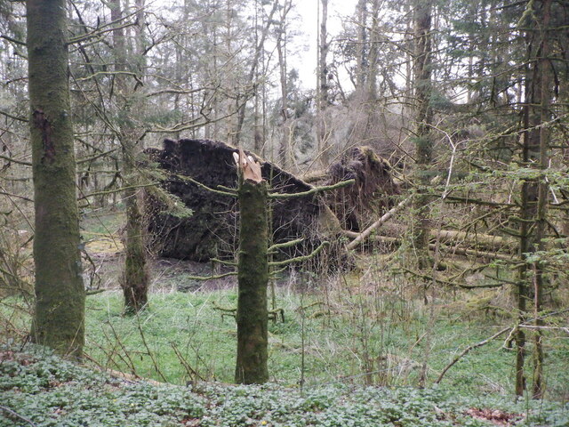
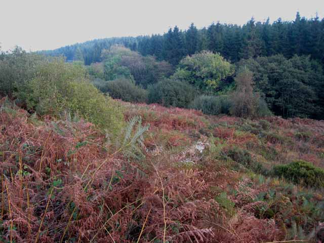
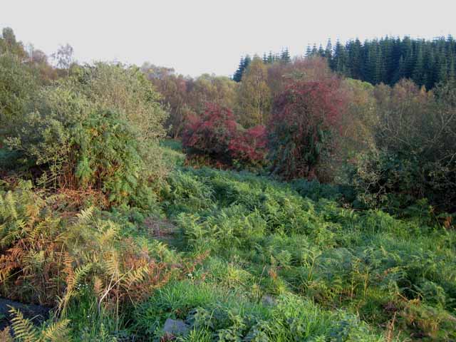
The hill is characterized by its gently sloping sides and a rounded summit, which provides an easy-to-navigate terrain for hikers and nature enthusiasts. It is covered in lush green vegetation, including heather, grasses, and scattered shrubs, creating a picturesque setting for wildlife and plant species.
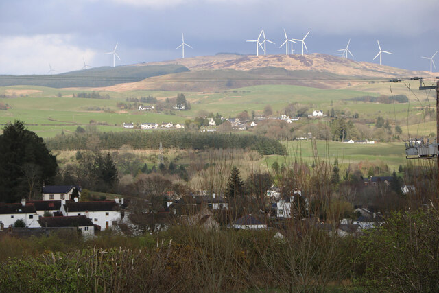
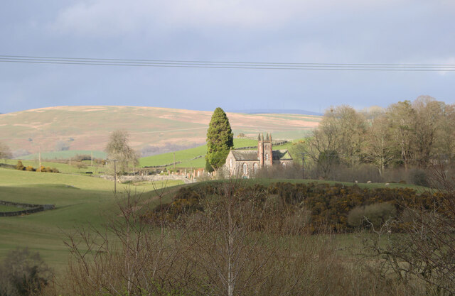
At the summit, visitors can enjoy breathtaking vistas of the Solway Firth and the charming town of Kirkcudbright. On clear days, the views extend as far as the Irish Sea and even the Lake District in England.
Achive Hill is a popular destination for outdoor activities such as hillwalking, hiking, and birdwatching. The hill's diverse ecosystem attracts a variety of bird species, including buzzards, kestrels, and pheasants. It also provides a habitat for small mammals like voles and rabbits.
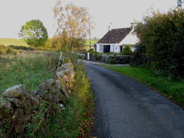
Access to Achive Hill is relatively easy, with several well-marked trails leading to the summit. The hill is often included as part of longer walks or routes in the surrounding area, offering visitors the opportunity to explore the wider Kirkcudbrightshire countryside.
Overall, Achive Hill stands as a natural treasure in Kirkcudbrightshire, offering both locals and tourists a chance to immerse themselves in the stunning Scottish scenery and enjoy the tranquility of its rugged beauty.
If you have any feedback on the listing, please let us know in the comments section below.
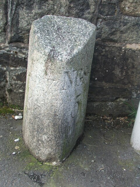
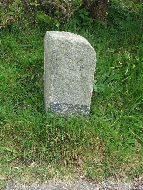
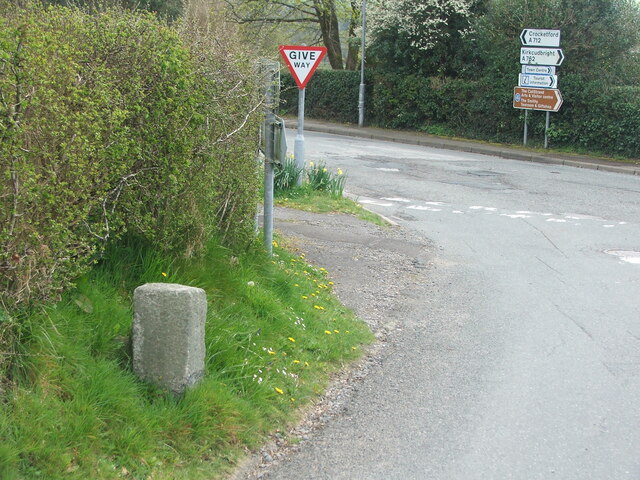
Achie Hill Images
Images are sourced within 2km of 55.074348/-4.1688479 or Grid Reference NX6177. Thanks to Geograph Open Source API. All images are credited.
Achie Hill is located at Grid Ref: NX6177 (Lat: 55.074348, Lng: -4.1688479)
Unitary Authority: Dumfries and Galloway
Police Authority: Dumfries and Galloway
What 3 Words
///harps.snaps.mega. Near Castle Douglas, Dumfries & Galloway
Nearby Locations
Related Wikis

Water of Ken
The Water of Ken is a river in the historical county of Kirkcudbrightshire in Galloway, south-west Scotland.It rises on Blacklorg Hill, north-east of Cairnsmore...

Kells, Dumfries and Galloway
Kells parish, in the Stewartry of Kirkcudbright in Scotland, is located 14 miles (NWbN) from Castle-Douglas, and 19 miles (NbW) from Kirkcudbright. It...

New Galloway Town Hall
The New Galloway Town Hall is a municipal building in Dumfries and Galloway, Scotland, situated on the town's high street. A tolbooth has existed on the...

New Galloway
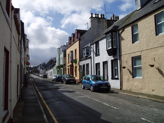
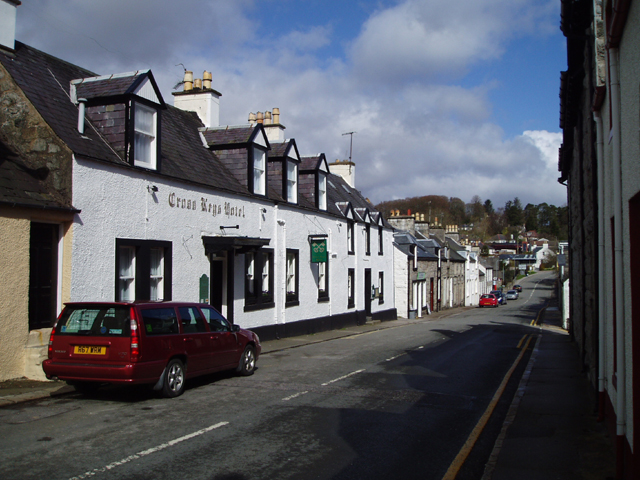
New Galloway (Scottish Gaelic: Gall-Ghàidhealaibh Nuadh) is a town in the historical county of Kirkcudbrightshire in Dumfries and Galloway. It lies on...
Nearby Amenities
Located within 500m of 55.074348,-4.1688479Have you been to Achie Hill?
Leave your review of Achie Hill below (or comments, questions and feedback).