Baillie Hill
Hill, Mountain in Stirlingshire
Scotland
Baillie Hill
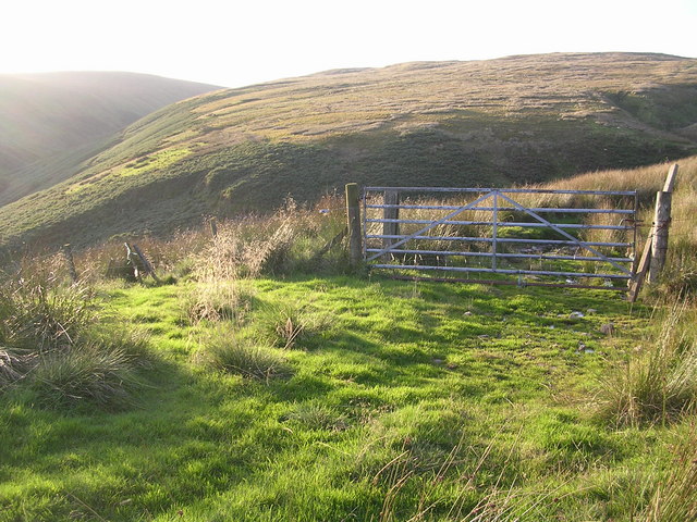
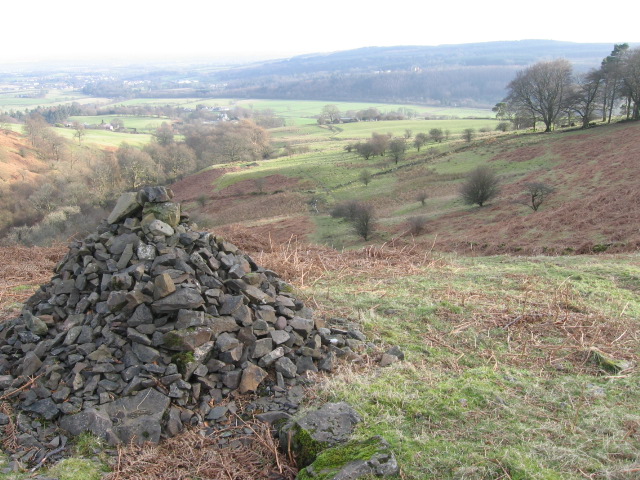
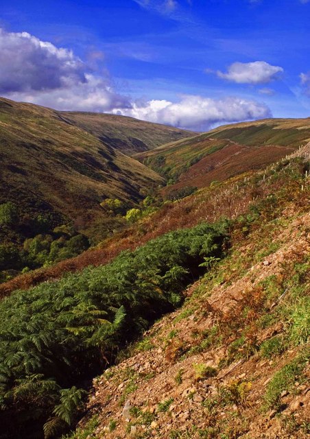
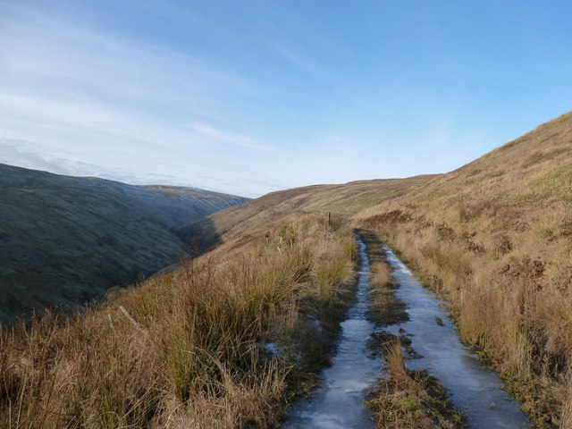
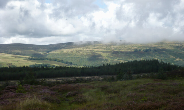
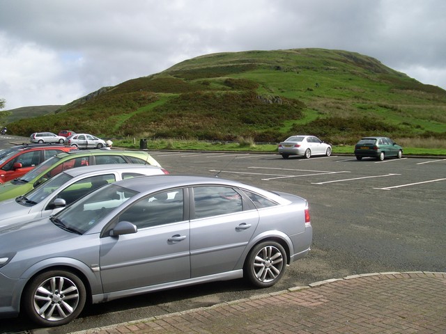
Baillie Hill, located in Stirlingshire, Scotland, is a prominent hill that offers breathtaking views of the surrounding countryside. Standing at an elevation of approximately 326 meters (1,070 feet), it is a popular destination for hikers, nature enthusiasts, and those seeking a peaceful retreat.
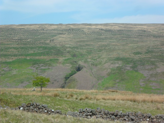
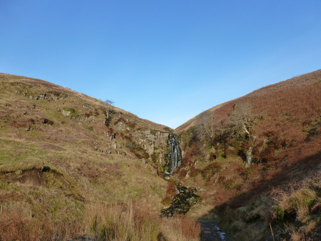
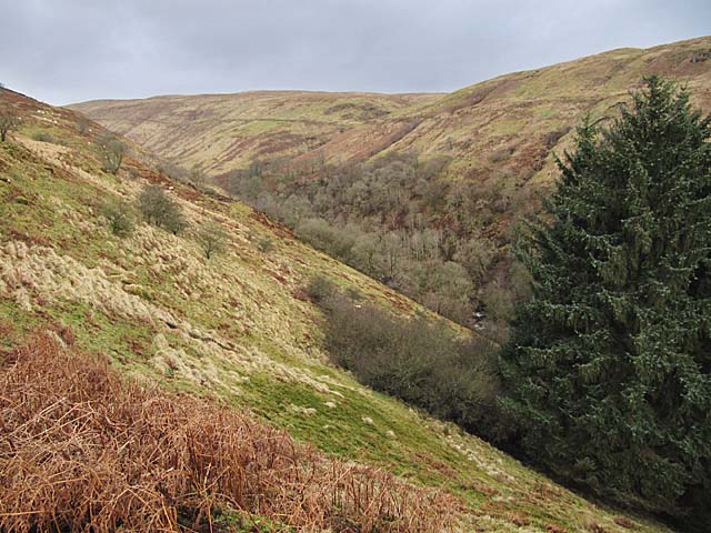
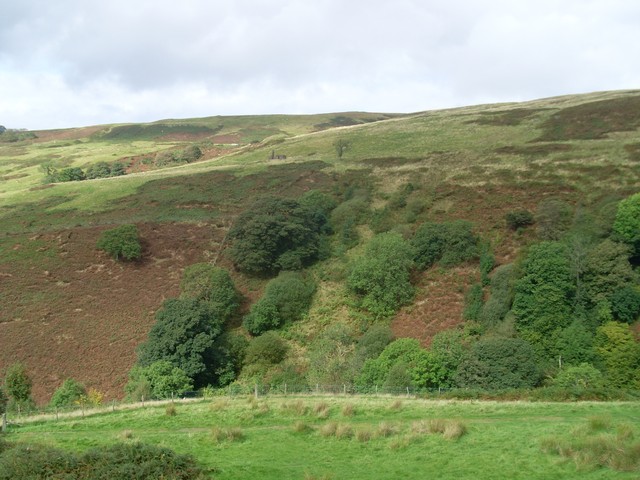
The hill is characterized by its rolling, grassy slopes, which are interspersed with patches of dense woodland. These woodlands are home to a variety of flora and fauna, including oak, birch, and rowan trees, as well as a range of bird species and small mammals.
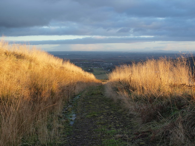
One of the main attractions of Baillie Hill is its panoramic views. On clear days, visitors can enjoy unobstructed vistas of the picturesque Stirlingshire landscape, including nearby hills, lochs, and the distant Trossachs National Park. The summit of the hill offers an ideal vantage point for photography and picnics.
The hill also holds historical significance. It is said that the name "Baillie" is derived from the Scottish word "baillie," meaning bailiff, and suggests that the hill may have served as a lookout or vantage point for local authorities in the past.
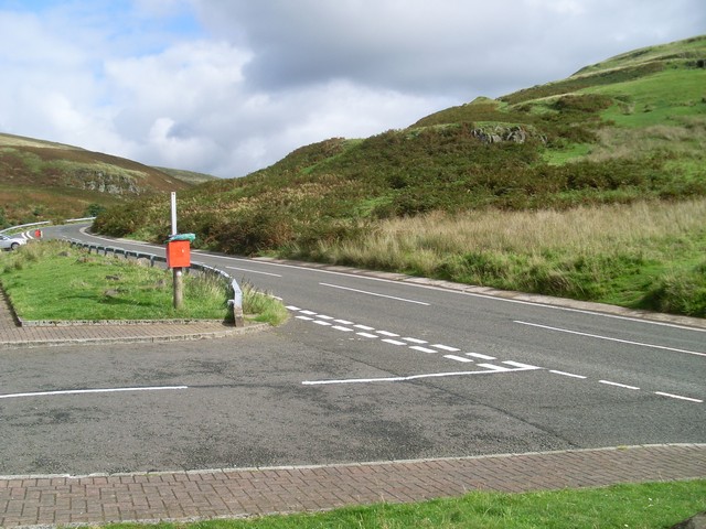
Access to Baillie Hill is relatively easy, with several well-maintained paths leading to the summit. These paths cater to hikers of all levels of experience, making the hill a popular destination for families and those looking for a leisurely stroll in scenic surroundings.
Overall, Baillie Hill in Stirlingshire offers a wonderful opportunity to experience the natural beauty and tranquility of the Scottish countryside, with its stunning views, diverse wildlife, and accessible paths.
If you have any feedback on the listing, please let us know in the comments section below.
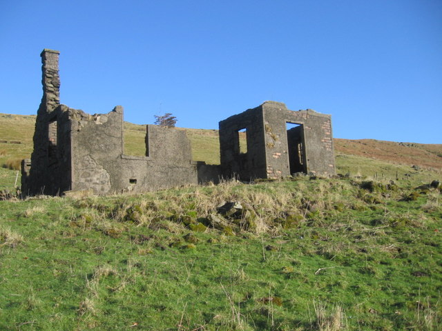
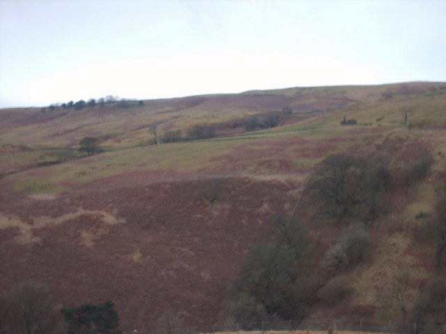
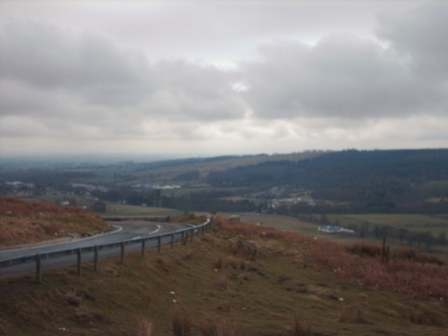
Baillie Hill Images
Images are sourced within 2km of 55.98531/-4.2358755 or Grid Reference NS6079. Thanks to Geograph Open Source API. All images are credited.
Baillie Hill is located at Grid Ref: NS6079 (Lat: 55.98531, Lng: -4.2358755)
Unitary Authority: East Dunbartonshire
Police Authority: Greater Glasgow
What 3 Words
///vintages.bride.dolls. Near Lennoxtown, East Dunbartonshire
Nearby Locations
Related Wikis
Haughhead
Haughhead is a hamlet two miles from Lennoxtown in East Dunbartonshire, Scotland. It was historically part of Stirlingshire until 1975, when it became...

Clachan of Campsie
Clachan of Campsie or Campsie Glen (Scottish Gaelic: Clachan Chamais) is a settlement in the East Dunbartonshire area of Scotland. It was formerly part...

Finglen Burn
The Finglen Burn is a burn in Scotland that runs from north east of the Earl's Seat (the highest point on the Campsie Fells) to just north of Campsie Village...

Aldessan Burn
Located in East Dunbartonshire, the Aldessan Burn (Scottish Gaelic: Allt Easain, meaning "burn of the falls"; also known as the Kirk Burn) is formed as...
Related Videos
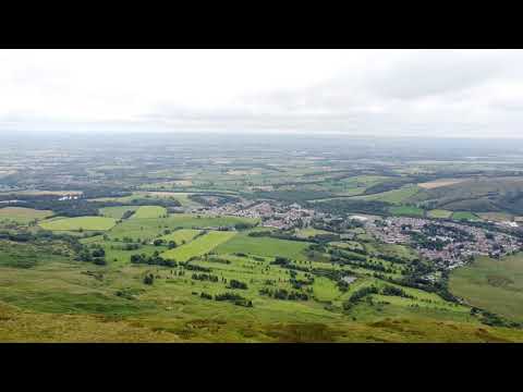
Scotland from above - ep01 - "Cort-ma Law" hiking trail
segments from my first ever drone flight more episodes at: ...
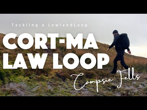
Cort-ma Law: Tackling a Lowland Loop
Embark on an exhilarating adventure through the picturesque Campsie Fells in Scotland with our latest YouTube exploration: the ...
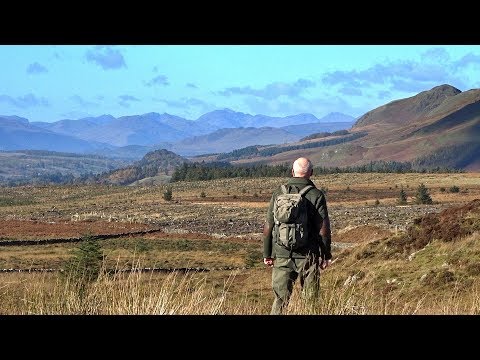
A Walk from Milngavie to Clachan of Campsie
Via Baldernock, Blairskaith Muir and Lennox Forest, with views towards Loch Lomond and the Arrochar Alps.

Nearby Amenities
Located within 500m of 55.98531,-4.2358755Have you been to Baillie Hill?
Leave your review of Baillie Hill below (or comments, questions and feedback).