Haughhead

Settlement in Stirlingshire

Scotland

Haughhead

Cairn above Fin Glen
Cairn above Fin Glen Credit: Chris Wimbush

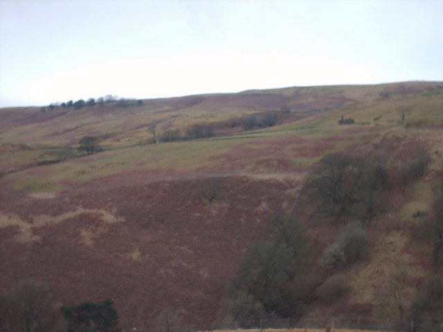
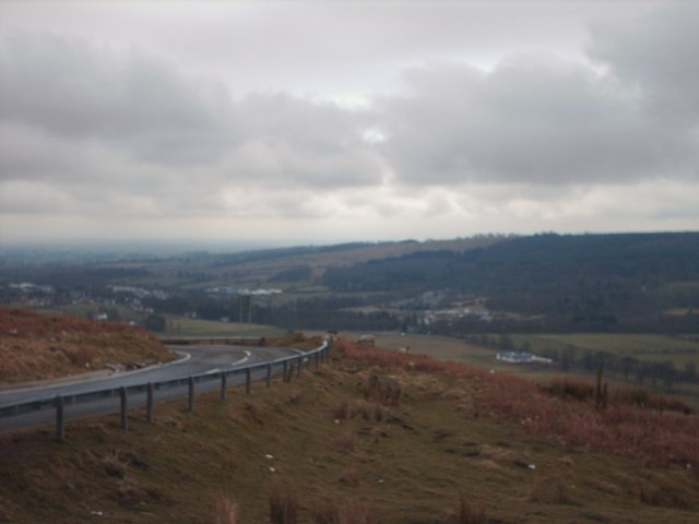
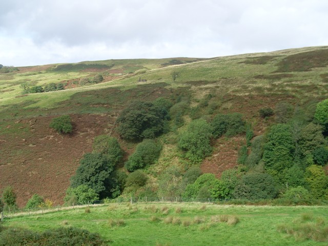
Haughhead is a small village located in Stirlingshire, Scotland. Situated approximately 4 miles north of the town of Falkirk, it is a peaceful and picturesque rural settlement. The village is nestled amidst rolling hills and green fields, providing a serene and idyllic setting for its residents.

Despite its small size, Haughhead has a rich history dating back several centuries. It was once known for its thriving agricultural sector, with farming being the primary occupation of the local community. Today, however, the village has evolved into a more residential area, with many residents commuting to nearby towns and cities for work.

The village is characterized by its charming stone houses and cottages, which add to its rustic appeal. The local architecture is a mix of traditional Scottish styles and more modern designs, creating a unique blend of old and new.

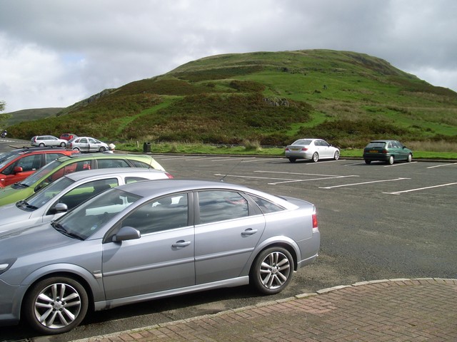
One of the notable features of Haughhead is its close proximity to various attractions. The Falkirk Wheel, a remarkable rotating boat lift that connects the Forth and Clyde Canal with the Union Canal, is just a short drive away. The Antonine Wall, a UNESCO World Heritage Site that was once a Roman frontier fortification, is also within reach.

Haughhead offers a peaceful and tranquil environment, making it an attractive place for those seeking a quieter lifestyle. With its beautiful surroundings and nearby attractions, it is a village that holds both historical and natural appeal.

If you have any feedback on the listing, please let us know in the comments section below.
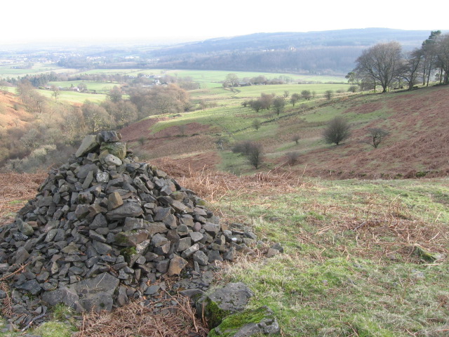
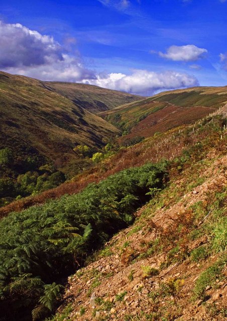
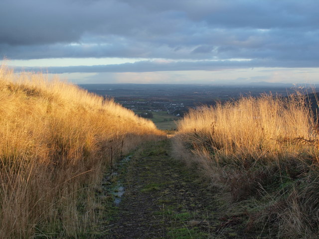
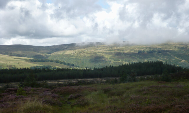
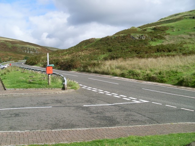
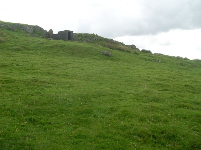
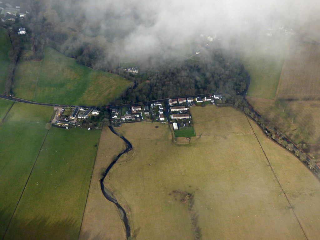
Haughhead Images

Images are sourced within 2km of 55.984203/-4.230188 or Grid Reference NS6079. Thanks to Geograph Open Source API. All images are credited.

Cairn above Fin Glen
Fin Glen A view looking north up Fin Glen.
Fin Glen
A view looking north up Fin Glen.
Path above the Fin Glen
A passing shower over the Campsie Fells Some cloud brushes the tops of the hillsides on a day of sunshine and showers. 

A view taken from the trig pillar on Blairskaith Muir.
A passing shower over the Campsie Fells
Some cloud brushes the tops of the hillsides on a day of sunshine and showers. A view taken from the trig pillar on Blairskaith Muir.
Jamie Wright's Well,  B822 Lennoxtown - Fintry Road Jamie Wright's Well beside the Crow Road has existed since time immemorial but was converted into the Slimmon Memorial to commemorate the local poet James Slimmon, who died in 1898.
Jamie Wright's Well, B822 Lennoxtown - Fintry Road
Jamie Wright's Well beside the Crow Road has existed since time immemorial but was converted into the Slimmon Memorial to commemorate the local poet James Slimmon, who died in 1898.
Waterfalls on Kirk Burn above Campsie Glen Campsie Glen is a stunning, secluded beauty spot within easy reach of Glasgow
Waterfalls on Kirk Burn above Campsie Glen
Campsie Glen is a stunning, secluded beauty spot within easy reach of Glasgow
Aldessan Burn, Campsie Fells
Allanhead ruin
Allanhead ruin
View Towards Allanhead Ruin
The Crow Road Looking towards The Clachan of Campsie.
The Crow Road
Looking towards The Clachan of Campsie.
Car parking in Campsie Glen By the Crow Road. The path behind the Black Craig in the background leads to the summit of Cort-ma-Law.
Car parking in Campsie Glen
By the Crow Road. The path behind the Black Craig in the background leads to the summit of Cort-ma-Law.
View across Campsie Glen to Allanhead From the car park by the Crow Road.
View across Campsie Glen to Allanhead
From the car park by the Crow Road.
The Crow Road The only main road through the Campsie Fells.
The Crow Road
The only main road through the Campsie Fells.
Small hut on the Campsie Fells Probably a WWII watch post.
Small hut on the Campsie Fells
Probably a WWII watch post.
The car park in the Campsie Fells The opposite view to <a href="https://www.geograph.org.uk/photo/1497760">NS6180 : Car parking in Campsie Glen</a>.
The car park in the Campsie Fells
The opposite view to NS6180 : Car parking in Campsie Glen.
Campsie Fells & Crow Road A view taken from above Knowhead Road looking east towards the Campsie Fells and the Crow Road car park.
Campsie Fells & Crow Road
A view taken from above Knowhead Road looking east towards the Campsie Fells and the Crow Road car park.
Snow-covered car park, Campsie Glen Overlooking Clachan of Campsie.
Snow-covered car park, Campsie Glen
Overlooking Clachan of Campsie.
Across Campsie Glen from the car park Looking to the ruin of Allenhead.
Across Campsie Glen from the car park
Looking to the ruin of Allenhead.
Show me another place!

Haughhead is located at Grid Ref: NS6079 (Lat: 55.984203, Lng: -4.230188)

Unitary Authority: East Dunbartonshire

Police Authority: Greater Glasgow

What 3 Words

///exile.lakeside.remembers. Near Lennoxtown, East Dunbartonshire

Nearby Locations

Haughhead Baillie Hill

Related Wikis

Haughhead

Haughhead is a hamlet two miles from Lennoxtown in East Dunbartonshire, Scotland. It was historically part of Stirlingshire until 1975, when it became...

Clachan of Campsie

Clachan of Campsie or Campsie Glen (Scottish Gaelic: Clachan Chamais) is a settlement in the East Dunbartonshire area of Scotland. It was formerly part...

Finglen Burn

The Finglen Burn is a burn in Scotland that runs from north east of the Earl's Seat (the highest point on the Campsie Fells) to just north of Campsie Village...

Campsie Glen railway station

Campsie Glen railway station served the village of Clachan of Campsie, East Dunbartonshire, Scotland from 1867 to 1951 on the Blane Valley Railway; the...

Nearby Amenities

Located within 500m of 55.984203,-4.230188
Bus Stop
Strathblane Road
Bench: yes
Bin: yes
Lit: yes
Naptan AtcoCode: 6110189
Naptan NaptanCode: 65423265
Passenger Information Display: no
Shelter: yes
Tactile Paving: no
Lat/Long: 55.9854374/-4.2278051
Power: pole
Lat/Long: 55.9821564/-4.2370621
Power: pole
Lat/Long: 55.982984/-4.237148
Power: pole
Lat/Long: 55.9837834/-4.2372318
Power: pole
Lat/Long: 55.9845055/-4.237718
Power: pole
Lat/Long: 55.9857539/-4.2330997
Power: pole
Lat/Long: 55.9858934/-4.2338037
Power: pole
Lat/Long: 55.9860399/-4.2345686
Power: pole
Lat/Long: 55.9861829/-4.2352747
Power: pole
Lat/Long: 55.9863459/-4.2360353
Power: pole
Lat/Long: 55.9865029/-4.2368337
Power: pole
Lat/Long: 55.9853249/-4.2273645
Power: pole
Lat/Long: 55.9853565/-4.2267422
Power: pole
Lat/Long: 55.9856074/-4.2255604
Power: pole
Lat/Long: 55.9858559/-4.2244079
Power: pole
Lat/Long: 55.986095/-4.2233078
The data included in this document is from www.openstreetmap.org. The data is made available under ODbL.

Have you been to Haughhead?

Leave your review of Haughhead below (or comments, questions and feedback).