Parc Douglas Hill

Hill, Mountain in Caernarfonshire

Wales

Parc Douglas Hill

Cen llwyd / Grey lichen
Cen llwyd / Grey lichen Credit: Ceri Thomas

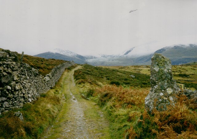
Parc Douglas Hill is a prominent hill located in Caernarfonshire, Wales. The hill is part of the Snowdonia National Park, offering stunning panoramic views of the surrounding countryside and coastline. At an elevation of 1,000 feet, Parc Douglas Hill is a popular destination for hikers and outdoor enthusiasts seeking a challenging climb and rewarding views.

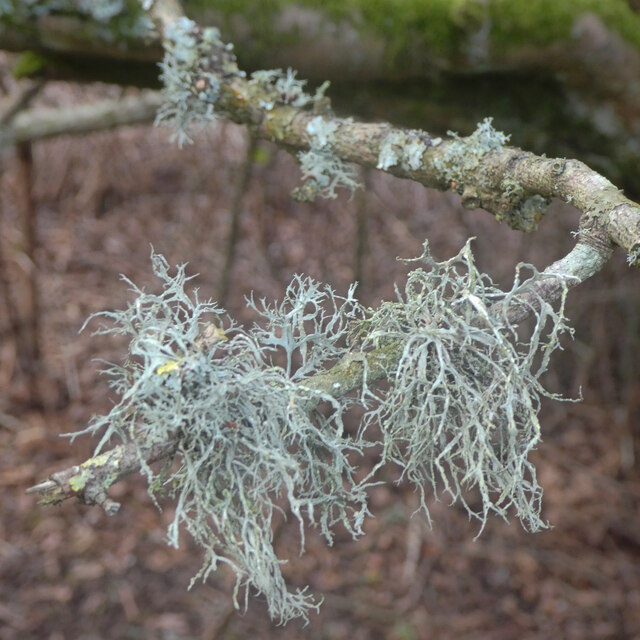
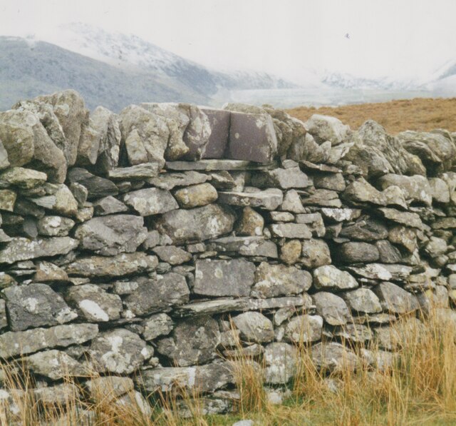
The hill is covered in lush greenery, with a variety of native plant species and wildlife. The landscape is characterized by rocky outcrops and steep inclines, making it a favorite spot for rock climbers and boulderers. The summit of Parc Douglas Hill offers breathtaking views of the Snowdonia mountain range, the Menai Strait, and the Irish Sea.

Visitors can access the hill via well-maintained footpaths and trails that wind their way through the surrounding countryside. The area is known for its peaceful and tranquil atmosphere, making it a perfect place for relaxation and contemplation. Parc Douglas Hill is a must-visit destination for nature lovers and outdoor adventurers looking to explore the beauty of Caernarfonshire.

If you have any feedback on the listing, please let us know in the comments section below.

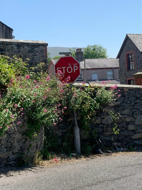
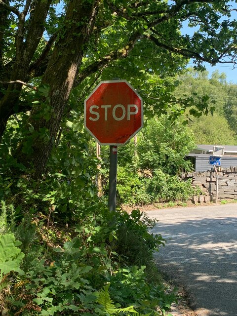
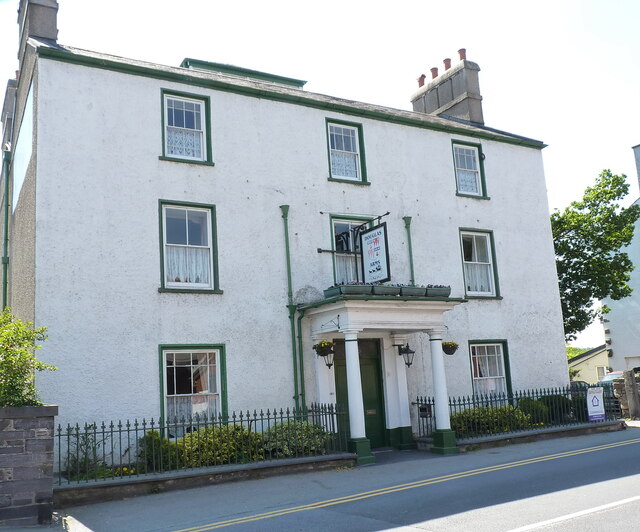
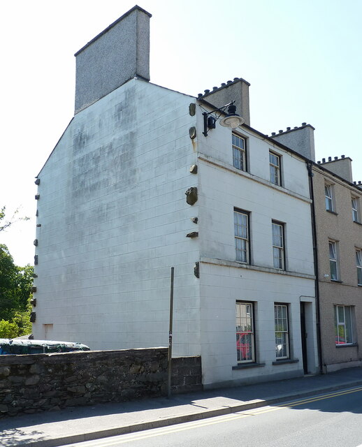
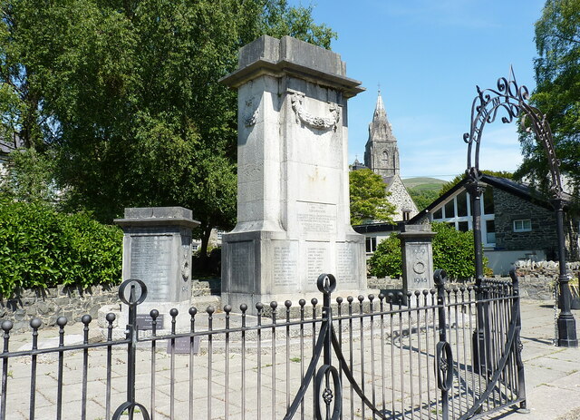
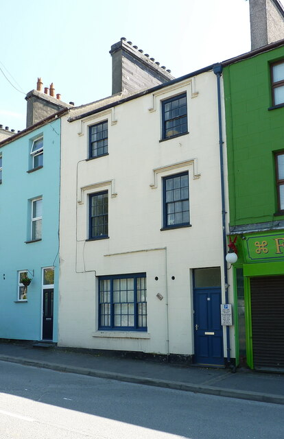
Parc Douglas Hill Images

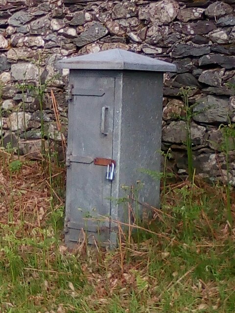
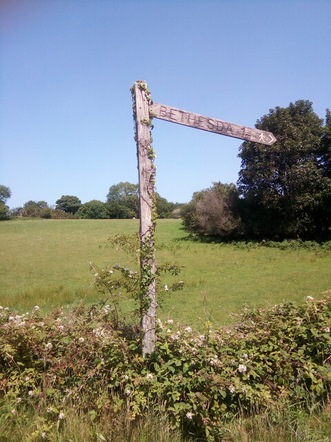
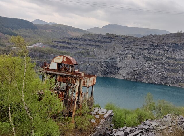
Images are sourced within 2km of 53.172431/-4.087017 or Grid Reference SH6065. Thanks to Geograph Open Source API. All images are credited.

Cen llwyd / Grey lichen
Former quarry-men's track over the flank of Moel y Ci This was used by quarrymen from Rhiwlas and Pentir districts to get to work at both the Penrhyn and Dinorwig Quarries.
Former quarry-men's track over the flank of Moel y Ci
This was used by quarrymen from Rhiwlas and Pentir districts to get to work at both the Penrhyn and Dinorwig Quarries.
Wall stile near Bwlch y Mawn The wall of the Marchlyn Mawr reservoir is visible in the background.
Wall stile near Bwlch y Mawn
The wall of the Marchlyn Mawr reservoir is visible in the background.
Rivet benchmark near Pen-y-bwlch, Mynydd Llandegai For more details see: <span class="nowrap"><a title="https://www.bench-marks.org.uk/bm114248" rel="nofollow ugc noopener" href="https://www.bench-marks.org.uk/bm114248">Link</a><img style="margin-left:2px;" alt="External link" title="External link - shift click to open in new window" src="https://s1.geograph.org.uk/img/external.png" width="10" height="10"/></span>
Rivet benchmark near Pen-y-bwlch, Mynydd Llandegai
For more details see: LinkExternal link
Electrical cabinet on Bangor Road, Bethesda
Sluice valve marker at the junction of Station Road and Bangor Road, Bethesda
Damaged sluice valve marker on Bangor Road, Bethesda
Sluice valve marker on Bangor Road, Bethesda
Wooden fingerpost, Sling
Flooded Penrhyn Slate Quarry Penrhyn Quarry is home to Zip World which has the world's fastest and Europe's longest zip line. Velocity 2 has four parallel lines that span 1.5 kilometres over Penrhyn Quarry lake, it is possible to reach speeds of over 100 mph.
Flooded Penrhyn Slate Quarry
Penrhyn Quarry is home to Zip World which has the world's fastest and Europe's longest zip line. Velocity 2 has four parallel lines that span 1.5 kilometres over Penrhyn Quarry lake, it is possible to reach speeds of over 100 mph.
Benchmark on boulder, Mynydd Llandegai For more details see: <span class="nowrap"><a title="https://www.bench-marks.org.uk/bm114242" rel="nofollow ugc noopener" href="https://www.bench-marks.org.uk/bm114242">Link</a><img style="margin-left:2px;" alt="External link" title="External link - shift click to open in new window" src="https://s1.geograph.org.uk/img/external.png" width="10" height="10"/></span>
Benchmark on boulder, Mynydd Llandegai
For more details see: LinkExternal link
Give way 100 yards sign, Tregarth
Stop sign at the junction of Coetmor New Road and Ffordd Bangor, Bethesda
Stop sign at the junction of Allt Bryn Eglwys and the B4409, Tanysgafell
The Douglas Arms hotel in Bethesda Built around 1820-1830, presumably as a coaching inn to serve travellers on the then-new road to Holyhead, and Grade II listed <span class="nowrap"><a title="https://britishlistedbuildings.co.uk/300018395-the-douglas-arms-hotel-including-railings-bethesda" rel="nofollow ugc noopener" href="https://britishlistedbuildings.co.uk/300018395-the-douglas-arms-hotel-including-railings-bethesda">Link</a><img style="margin-left:2px;" alt="External link" title="External link - shift click to open in new window" src="https://s1.geograph.org.uk/img/external.png" width="10" height="10"/></span> in 1997. The business is currently (mid 2023) for sale.
The Douglas Arms hotel in Bethesda
Built around 1820-1830, presumably as a coaching inn to serve travellers on the then-new road to Holyhead, and Grade II listed LinkExternal link in 1997. The business is currently (mid 2023) for sale.
22 Ogwen Terrace, Bethesda One of several properties in a terrace fronting the main road which are described in their respective 1997 Grade II listings <span class="nowrap"><a title="https://britishlistedbuildings.co.uk/300018394-22-ogwen-terrace-bethesda-bangor-ll57-3ay-bethesda" rel="nofollow ugc noopener" href="https://britishlistedbuildings.co.uk/300018394-22-ogwen-terrace-bethesda-bangor-ll57-3ay-bethesda">Link</a><img style="margin-left:2px;" alt="External link" title="External link - shift click to open in new window" src="https://s1.geograph.org.uk/img/external.png" width="10" height="10"/></span> as 'retaining original character in a fine late Georgian curved terrace of unusual scale'. The protruding masonry on this gable wall is thought to have been left there as an 'anchor' with the intention of building a further property onto the side, but clearly that didn't happen.
22 Ogwen Terrace, Bethesda
One of several properties in a terrace fronting the main road which are described in their respective 1997 Grade II listings LinkExternal link as 'retaining original character in a fine late Georgian curved terrace of unusual scale'. The protruding masonry on this gable wall is thought to have been left there as an 'anchor' with the intention of building a further property onto the side, but clearly that didn't happen.
Bethesda War memorial The main part of the memorial here was erected in 1923, as a tribute to the fallen of WW1 to a design by a local architect, and then additions were made after WW2 when further names were added. The whole, including the low rubble wall that surrounds it, was Grade II listed <span class="nowrap"><a title="https://britishlistedbuildings.co.uk/300018386-the-war-memorial-and-surrounding-wall-bethesda" rel="nofollow ugc noopener" href="https://britishlistedbuildings.co.uk/300018386-the-war-memorial-and-surrounding-wall-bethesda">Link</a><img style="margin-left:2px;" alt="External link" title="External link - shift click to open in new window" src="https://s1.geograph.org.uk/img/external.png" width="10" height="10"/></span> in 1997.
Bethesda War memorial
The main part of the memorial here was erected in 1923, as a tribute to the fallen of WW1 to a design by a local architect, and then additions were made after WW2 when further names were added. The whole, including the low rubble wall that surrounds it, was Grade II listed LinkExternal link in 1997.
10 Ogwen Terrace, Bethesda No 10 is part of the extensive Ogwen Terrace row of houses, but with a few of the others it is considered to have retained sufficient of its original Georgian character to warrant Grade II listed status <span class="nowrap"><a title="https://britishlistedbuildings.co.uk/300018392-10-ogwen-terrace-bethesda-bangor-ll57-3ay-bethesda" rel="nofollow ugc noopener" href="https://britishlistedbuildings.co.uk/300018392-10-ogwen-terrace-bethesda-bangor-ll57-3ay-bethesda">Link</a><img style="margin-left:2px;" alt="External link" title="External link - shift click to open in new window" src="https://s1.geograph.org.uk/img/external.png" width="10" height="10"/></span> in 1997.
10 Ogwen Terrace, Bethesda
No 10 is part of the extensive Ogwen Terrace row of houses, but with a few of the others it is considered to have retained sufficient of its original Georgian character to warrant Grade II listed status LinkExternal link in 1997.
Show me another place!

Parc Douglas Hill is located at Grid Ref: SH6065 (Lat: 53.172431, Lng: -4.087017)

Unitary Authority: Gwynedd

Police Authority: North Wales

What 3 Words

///voice.ooze.rebirth. Near Tregarth, Gwynedd

Related Wikis

Mynydd Llandygai

Mynydd Llandygái (also spelt Mynydd Llandegai, [ˌmənɨðˌɬandəˈɡai] ; from Welsh mynydd "mountain", Llandygai "Church of St Tegai") is a small, partly forested...

Felin Fawr Slate Works

Felin Fawr Works is a former slate works to Penrhyn Quarry Railway in Bethesda, Wales. It dates back to 1803; This is when the first mill was supposedly...

Penrhyn quarry

The Penrhyn quarry is a slate quarry located near Bethesda, North Wales. At the end of the nineteenth century it was the world's largest slate quarry;...

Bethesda railway station

Bethesda railway station was a station in Bethesda, Gwynedd, Wales. == History == The station was opened by the London and North Western Railway on 1 July...

Nearby Amenities

Located within 500m of 53.172431,-4.087017
Mynydd Llandygái
Name Cy: Mynydd Llandygái
Name En: Mynydd Llandygai
Place: village
Wikidata: Q6947857
Wikipedia: en:Mynydd Llandygai
Lat/Long: 53.1687025/-4.091022
Bench
Tourism: picnic_site
Lat/Long: 53.1754519/-4.0916737
Tourism: viewpoint
Lat/Long: 53.1754086/-4.0917999
Barrier: kissing_gate
Lat/Long: 53.1745678/-4.0921418
Bus Stop
Bus: yes
Public Transport: platform
Lat/Long: 53.1707733/-4.0877201
Power: substation
Lat/Long: 53.170495/-4.086587
Access: no
Barrier: kissing_gate
Foot: yes
Lat/Long: 53.1760555/-4.0826446
Direction: SSW
Generator Method: photovoltaic
Generator Output Electricity: yes
Generator Solar Modules: 14
Generator Source: solar
Generator Type: solar_photovoltaic_panel
Location: roof
Power: generator
Lat/Long: 53.1723809/-4.0940253
Direction: SE
Generator Method: photovoltaic
Generator Output Electricity: yes
Generator Solar Modules: 16
Generator Source: solar
Generator Type: solar_photovoltaic_panel
Location: roof
Power: generator
Lat/Long: 53.1750484/-4.0837182
The data included in this document is from www.openstreetmap.org. The data is made available under ODbL.

Have you been to Parc Douglas Hill?

Leave your review of Parc Douglas Hill below (or comments, questions and feedback).