Tod Hill
Hill, Mountain in Lanarkshire
Scotland
Tod Hill

The requested URL returned error: 429 Too Many Requests
If you have any feedback on the listing, please let us know in the comments section below.
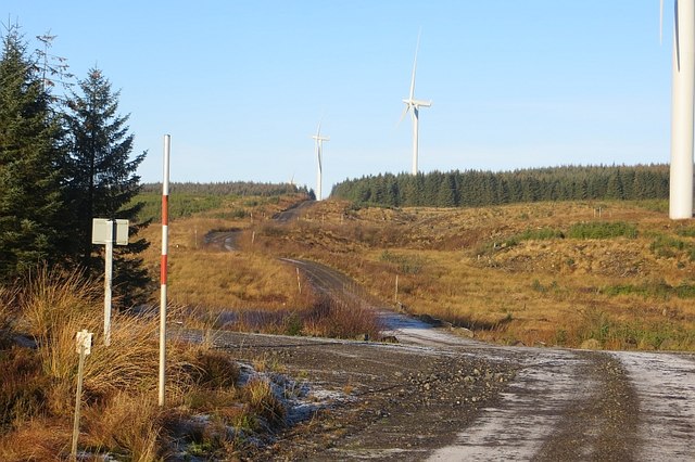
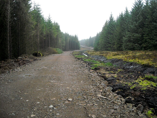
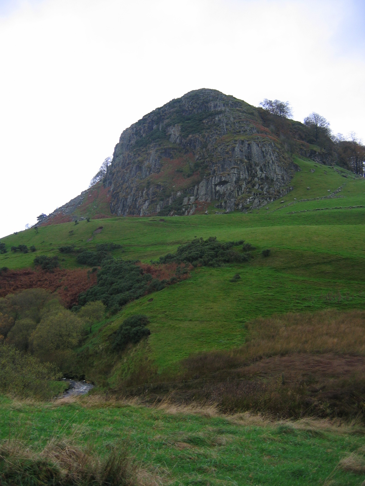
Tod Hill Images
Images are sourced within 2km of 55.64929/-4.2168708 or Grid Reference NS6041. Thanks to Geograph Open Source API. All images are credited.


Tod Hill is located at Grid Ref: NS6041 (Lat: 55.64929, Lng: -4.2168708)
Unitary Authority: South Lanarkshire
Police Authority: Lanarkshire
What 3 Words
///indicated.support.spins. Near Darvel, East Ayrshire
Nearby Locations
Related Wikis

Battle of Drumclog
The Battle of Drumclog was fought on 1 June 1679, between a group of Covenanters and the forces of John Graham of Claverhouse, at Drumclog, in South Lanarkshire...

Drumclog Moss
Drumclog Moss is a flat wilderness of broken bog and quagmire in Lanarkshire, Scotland. The Covenanters defeated Claverhouse's dragoons at the site in...
Loudoun Hill
Loudoun Hill (Scottish Gaelic: Beinn Lùghdain; also commonly Loudounhill) is a volcanic plug in East Ayrshire, Scotland. It is located near the head of...

Drumclog
Drumclog is a small village in South Lanarkshire, Parish of Avendale and Drumclog, Scotland. The habitation is situated on the A71, between Caldermill...
Nearby Amenities
Located within 500m of 55.64929,-4.2168708Have you been to Tod Hill?
Leave your review of Tod Hill below (or comments, questions and feedback).