Douglas Hill

Settlement in Caernarfonshire

Wales

Douglas Hill

Cen llwyd / Grey lichen
Cen llwyd / Grey lichen Credit: Ceri Thomas

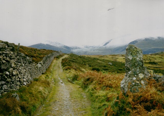
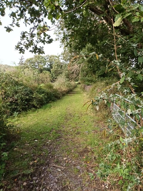
Douglas Hill is a small village located in the historic county of Caernarfonshire, Wales. Situated in the picturesque countryside, it lies on the edge of the Snowdonia National Park, offering residents and visitors breathtaking views of the surrounding landscape.

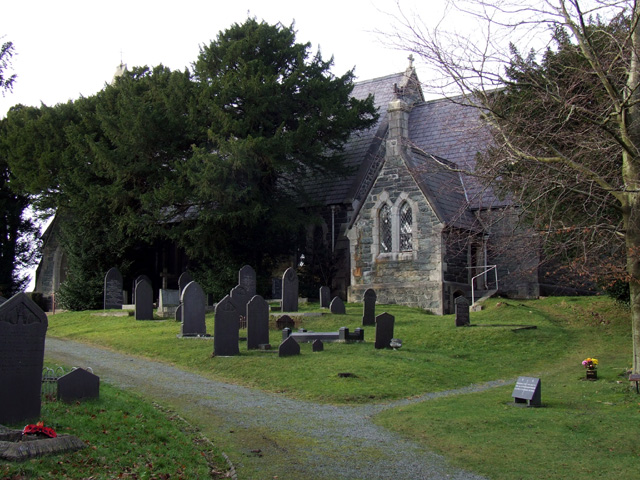
The village itself is characterized by its peaceful and idyllic atmosphere. With a population of around 200 people, it has a close-knit community that takes pride in its heritage and natural surroundings. The Welsh language is still widely spoken in the area, adding to the village's cultural richness.

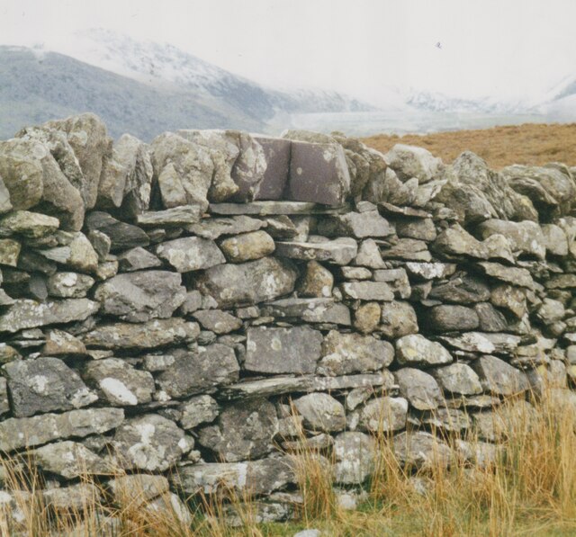
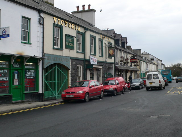
The village of Douglas Hill is primarily residential, with a mix of traditional stone cottages and modern houses. It benefits from its proximity to Caernarfon, a larger town located about 6 miles away, where residents can access a wider range of amenities such as schools, shops, and healthcare facilities.

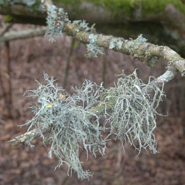
For outdoor enthusiasts, Douglas Hill provides abundant opportunities for exploration and recreation. The nearby Snowdonia National Park offers various hiking trails, including the popular Snowdon summit, which attracts thousands of visitors each year. The village is also close to the beautiful coastline of North Wales, with sandy beaches and coastal walks within easy reach.

Overall, Douglas Hill presents a charming and tranquil place to live or visit, with its stunning natural surroundings and strong sense of community. Whether you are seeking a peaceful retreat or an outdoor adventure, this village in Caernarfonshire offers a little something for everyone.

If you have any feedback on the listing, please let us know in the comments section below.
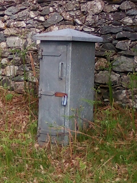
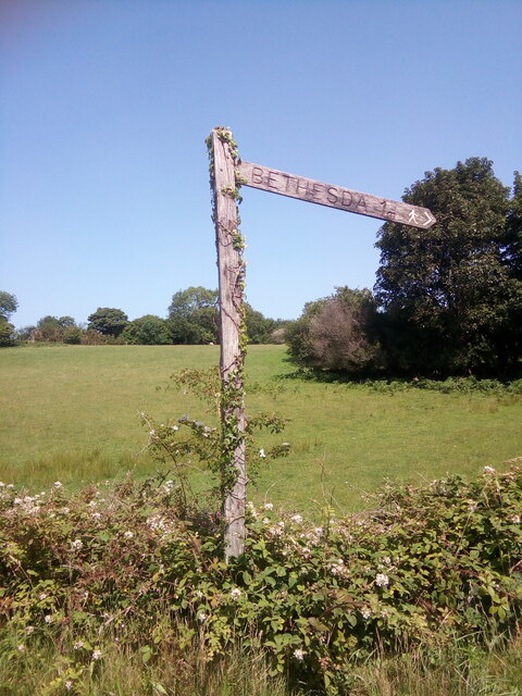
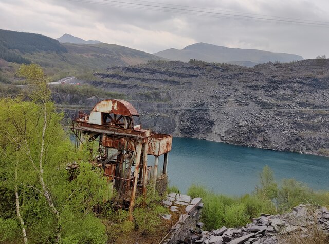
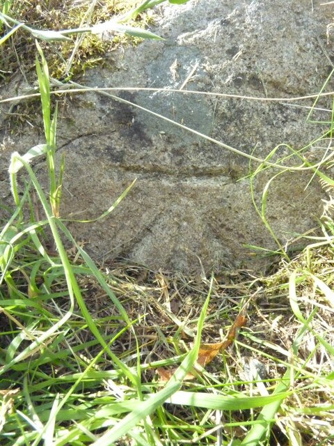
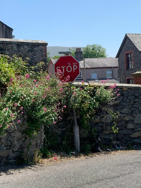
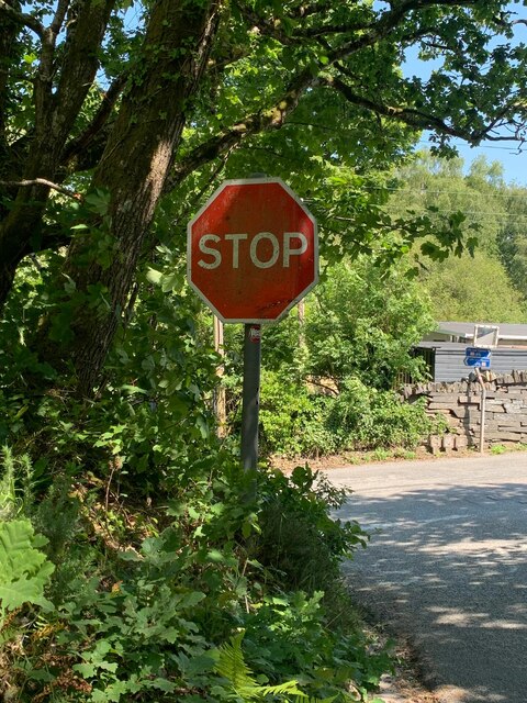
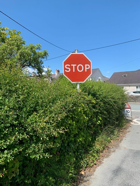
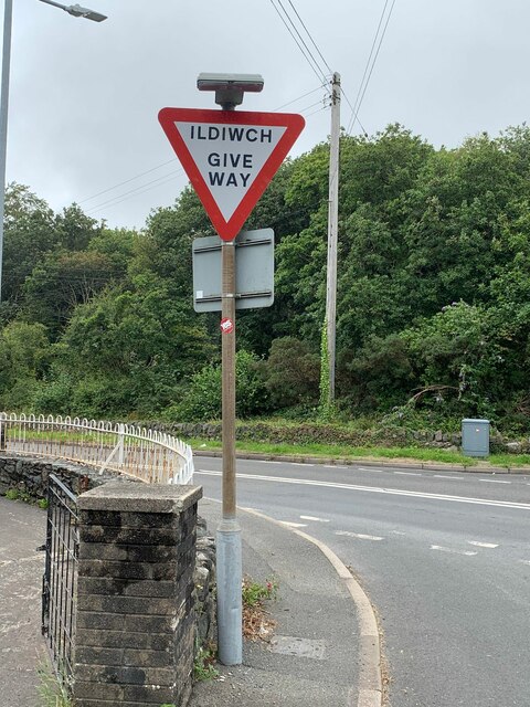
Douglas Hill Images

Images are sourced within 2km of 53.172483/-4.089165 or Grid Reference SH6065. Thanks to Geograph Open Source API. All images are credited.

Cen llwyd / Grey lichen
Former quarry-men's track over the flank of Moel y Ci This was used by quarrymen from Rhiwlas and Pentir districts to get to work at both the Penrhyn and Dinorwig Quarries.
Former quarry-men's track over the flank of Moel y Ci
This was used by quarrymen from Rhiwlas and Pentir districts to get to work at both the Penrhyn and Dinorwig Quarries.
Wall stile near Bwlch y Mawn The wall of the Marchlyn Mawr reservoir is visible in the background.
Wall stile near Bwlch y Mawn
The wall of the Marchlyn Mawr reservoir is visible in the background.
Rivet benchmark near Pen-y-bwlch, Mynydd Llandegai For more details see: <span class="nowrap"><a title="https://www.bench-marks.org.uk/bm114248" rel="nofollow ugc noopener" href="https://www.bench-marks.org.uk/bm114248">Link</a><img style="margin-left:2px;" alt="External link" title="External link - shift click to open in new window" src="https://s1.geograph.org.uk/img/external.png" width="10" height="10"/></span>
Rivet benchmark near Pen-y-bwlch, Mynydd Llandegai
For more details see: LinkExternal link
Electrical cabinet on Bangor Road, Bethesda
Sluice valve marker at the junction of Station Road and Bangor Road, Bethesda
Damaged sluice valve marker on Bangor Road, Bethesda
Sluice valve marker on Bangor Road, Bethesda
Wooden fingerpost, Sling
Flooded Penrhyn Slate Quarry Penrhyn Quarry is home to Zip World which has the world's fastest and Europe's longest zip line. Velocity 2 has four parallel lines that span 1.5 kilometres over Penrhyn Quarry lake, it is possible to reach speeds of over 100 mph.
Flooded Penrhyn Slate Quarry
Penrhyn Quarry is home to Zip World which has the world's fastest and Europe's longest zip line. Velocity 2 has four parallel lines that span 1.5 kilometres over Penrhyn Quarry lake, it is possible to reach speeds of over 100 mph.
Benchmark on boulder, Mynydd Llandegai For more details see: <span class="nowrap"><a title="https://www.bench-marks.org.uk/bm114242" rel="nofollow ugc noopener" href="https://www.bench-marks.org.uk/bm114242">Link</a><img style="margin-left:2px;" alt="External link" title="External link - shift click to open in new window" src="https://s1.geograph.org.uk/img/external.png" width="10" height="10"/></span>
Benchmark on boulder, Mynydd Llandegai
For more details see: LinkExternal link
Give way 100 yards sign, Tregarth
Stop sign at the junction of Coetmor New Road and Ffordd Bangor, Bethesda
Stop sign at the junction of Allt Bryn Eglwys and the B4409, Tanysgafell
Capel Bethesda in the centre of town Grade II listed <span class="nowrap"><a title="https://britishlistedbuildings.co.uk/300004145-capel-bethesda-bethesda" rel="nofollow ugc noopener" href="https://britishlistedbuildings.co.uk/300004145-capel-bethesda-bethesda">Link</a><img style="margin-left:2px;" alt="External link" title="External link - shift click to open in new window" src="https://s1.geograph.org.uk/img/external.png" width="10" height="10"/></span> in 1988, Capel Bethesda dates from the 1820s, although there was rebuilding and alteration work later in the 19th century.  It was derelict for  a period in the 1990s, during which time much of the fine interior was sadly lost, but has more recently been converted to flats and is known as Arafa Don <a href="https://www.geograph.org.uk/photo/432313">SH6266 : The former Capel Bethesda from Penybryn Road</a>
Capel Bethesda in the centre of town
Grade II listed LinkExternal link in 1988, Capel Bethesda dates from the 1820s, although there was rebuilding and alteration work later in the 19th century. It was derelict for a period in the 1990s, during which time much of the fine interior was sadly lost, but has more recently been converted to flats and is known as Arafa Don SH6266 : The former Capel Bethesda from Penybryn Road
Stop sign at road junction, Tregarth
Ildiwch / Give Way sign at road junction, Tregarth
Route of the Bangor Bethesda railway This is part of the railway from Bangor to Bethesda opened by the London and North Western Railway in 1884 and closed to passengers in 1951. Much of the route is now the Lon Las Ogwen, but this part close to Bethesda and the A5 is a farm track.
Route of the Bangor Bethesda railway
This is part of the railway from Bangor to Bethesda opened by the London and North Western Railway in 1884 and closed to passengers in 1951. Much of the route is now the Lon Las Ogwen, but this part close to Bethesda and the A5 is a farm track.
Show me another place!

Douglas Hill is located at Grid Ref: SH6065 (Lat: 53.172483, Lng: -4.089165)

Unitary Authority: Gwynedd

Police Authority: North Wales

Also known as: Myndd Llandegai

What 3 Words

///vines.trembles.rare. Near Tregarth, Gwynedd

Related Wikis

Mynydd Llandygai

Mynydd Llandygái (also spelt Mynydd Llandegai, [ˌmənɨðˌɬandəˈɡai] ; from Welsh mynydd "mountain", Llandygai "Church of St Tegai") is a small, partly forested...

Felin Fawr Slate Works

Felin Fawr Works is a former slate works to Penrhyn Quarry Railway in Bethesda, Wales. It dates back to 1803; This is when the first mill was supposedly...

Penrhyn quarry

The Penrhyn quarry is a slate quarry located near Bethesda, North Wales. At the end of the nineteenth century it was the world's largest slate quarry;...

Bethesda railway station

Bethesda railway station was a station in Bethesda, Gwynedd, Wales. == History == The station was opened by the London and North Western Railway on 1 July...

Tregarth

Tregarth is a village near Thomas Telford's A5 London to Holyhead road between the town of Bethesda and the city of Bangor in Gwynedd, north Wales. It...

Ogwen (electoral ward)

Ogwen is the name of an electoral ward covering part of the village and community of Bethesda in Gwynedd, Wales. It elects councillors to the community...

Bethesda, Gwynedd

Bethesda (; Welsh: [bɛθ'ɛsda]) is a town and community in Gwynedd, Wales. It is on the banks of Afon Ogwen and on the edge of Snowdonia. It is 5 miles...

Afon Llafar

For the river which flows into Bala Lake see Afon Llafar (Dee)Afon Llafar is a river in the Carneddau, Snowdonia. It rises where many streams flow down...

Nearby Amenities

Located within 500m of 53.172483,-4.089165
Mynydd Llandygái
Name Cy: Mynydd Llandygái
Name En: Mynydd Llandygai
Place: village
Wikidata: Q6947857
Wikipedia: en:Mynydd Llandygai
Lat/Long: 53.1687025/-4.091022
Bench
Tourism: picnic_site
Lat/Long: 53.1754519/-4.0916737
Tourism: viewpoint
Lat/Long: 53.1754086/-4.0917999
Barrier: kissing_gate
Lat/Long: 53.1745678/-4.0921418
Bus Stop
Bus: yes
Public Transport: platform
Lat/Long: 53.1707733/-4.0877201
Power: substation
Lat/Long: 53.170495/-4.086587
Direction: SSW
Generator Method: photovoltaic
Generator Output Electricity: yes
Generator Solar Modules: 14
Generator Source: solar
Generator Type: solar_photovoltaic_panel
Location: roof
Power: generator
Lat/Long: 53.1723809/-4.0940253
Direction: SSW
Generator Method: photovoltaic
Generator Output Electricity: yes
Generator Solar Modules: 15
Generator Source: solar
Generator Type: solar_photovoltaic_panel
Location: roof
Power: generator
Lat/Long: 53.171907/-4.095296
Direction: SW
Generator Method: photovoltaic
Generator Output Electricity: yes
Generator Solar Modules: 10
Generator Source: solar
Generator Type: solar_photovoltaic_panel
Location: roof
Power: generator
Lat/Long: 53.1715565/-4.0949124
Direction: SE
Generator Method: photovoltaic
Generator Output Electricity: yes
Generator Solar Modules: 16
Generator Source: solar
Generator Type: solar_photovoltaic_panel
Location: roof
Power: generator
Lat/Long: 53.1750484/-4.0837182
The data included in this document is from www.openstreetmap.org. The data is made available under ODbL.

Have you been to Douglas Hill?

Leave your review of Douglas Hill below (or comments, questions and feedback).