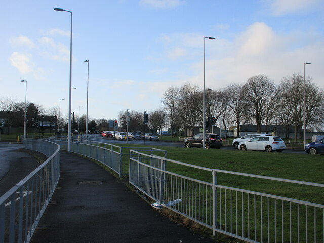
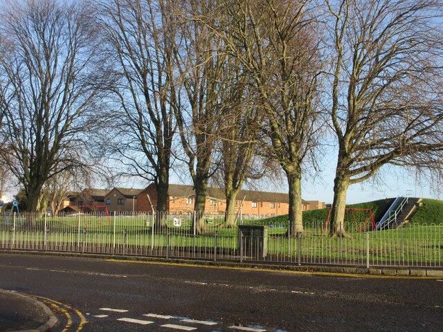
Douglas and Angus

Settlement in Angus

Scotland

Douglas and Angus

Claypotts Junction The busy Claypotts Junction at the intersection of the A92 with the B978.
Claypotts Junction Credit: Scott Cormie

Douglas and Angus are two distinct entities that share a connection through their geographical proximity. Douglas is a town located in South Lanarkshire, Scotland, known for its historical significance and natural beauty. Situated along the banks of the River Douglas, the town is surrounded by picturesque landscapes and rolling hills that provide a serene atmosphere.

Douglas has a rich history that dates back to the medieval period, with the imposing Douglas Castle being a notable landmark. The castle, perched on a hill, offers panoramic views of the surrounding countryside and serves as a reminder of the town's past. Additionally, remnants of the old town walls can still be seen, showcasing the defensive structures that once protected the inhabitants.

In contrast, Angus refers to a council area in the eastern part of Scotland, known for its diverse landscapes and agricultural heritage. The region encompasses a range of geographical features, including the Angus Glens, which are a collection of picturesque valleys and mountains. These glens offer ample opportunities for outdoor activities such as hiking, mountain biking, and wildlife spotting.

Angus is also home to several charming towns and villages, such as Arbroath, Forfar, and Montrose. Arbroath is particularly famous for its historic abbey, where the Declaration of Arbroath, a significant document in Scottish history, was signed in 1320.

Overall, both Douglas and Angus provide visitors with a chance to immerse themselves in Scotland's rich history and natural wonders, offering a unique experience that showcases the country's cultural and geographical diversity.

If you have any feedback on the listing, please let us know in the comments section below.

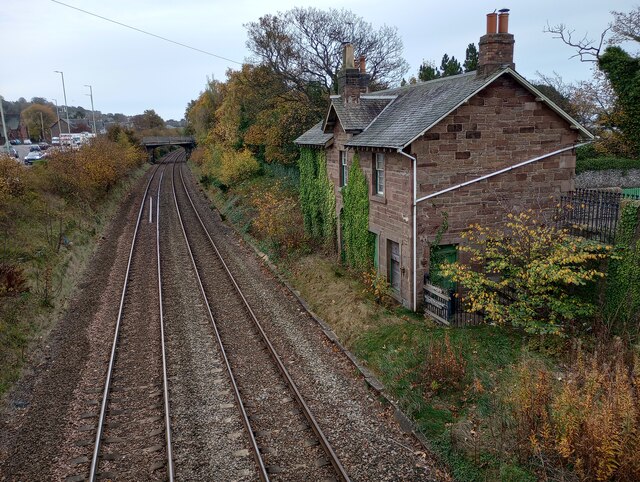
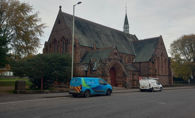
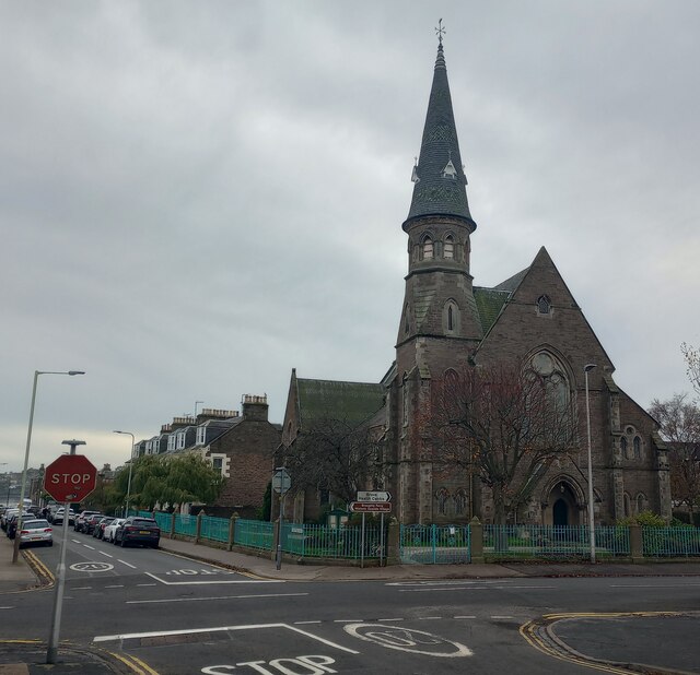
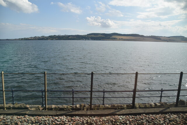
Douglas and Angus Images

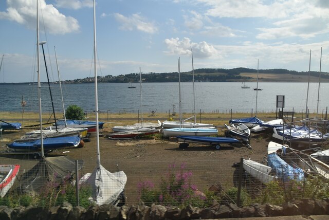
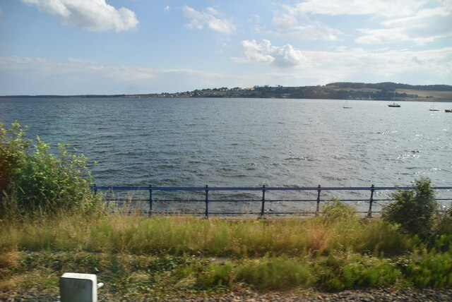
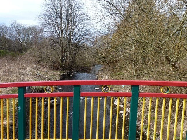
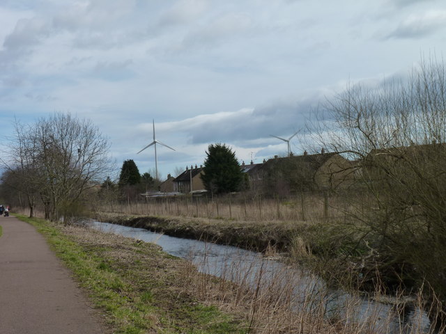
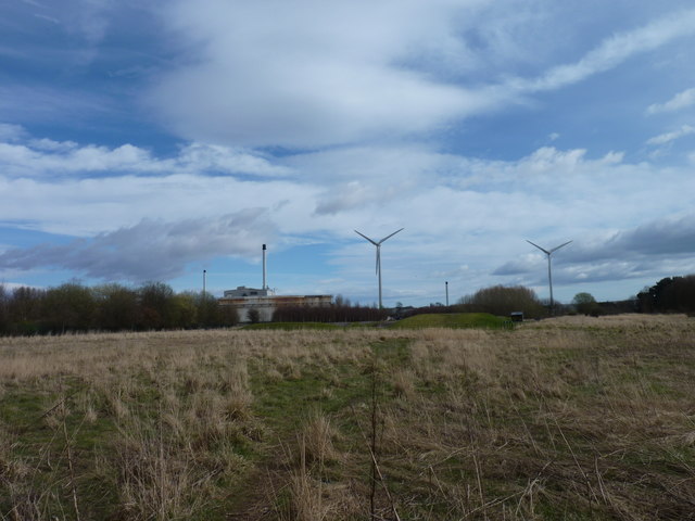
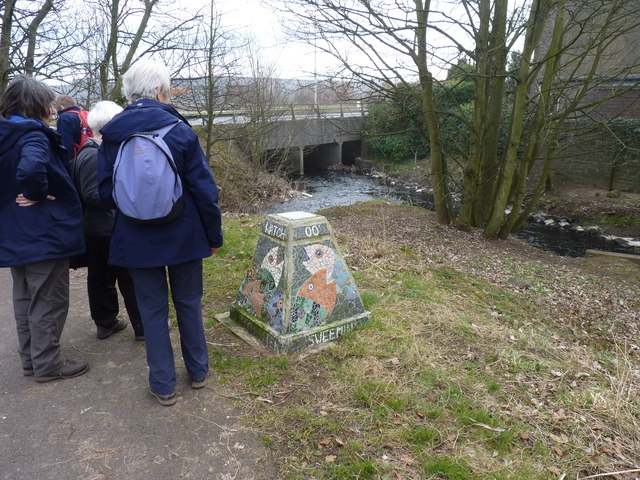
Images are sourced within 2km of 56.478851/-2.9052748 or Grid Reference NO4432. Thanks to Geograph Open Source API. All images are credited.

Claypotts Junction The busy Claypotts Junction at the intersection of the A92 with the B978.
Claypotts Junction
The busy Claypotts Junction at the intersection of the A92 with the B978.
Woodland on the play park Trees on the play park on Forthill Road, looking from Fintry Place.
Woodland on the play park
Trees on the play park on Forthill Road, looking from Fintry Place.
Claypotts Castle Claypotts Castle viewed from the south-east on Claypotts Road.
Claypotts Castle
Claypotts Castle viewed from the south-east on Claypotts Road.
Pair of wind turbines
Promenade at James Place, Broughty Ferry
Site of West Ferry station About 1km from Broughty Ferry station
Site of West Ferry station
About 1km from Broughty Ferry station
St Luke's and Queen Street Church Building dates from 1884
St Luke's and Queen Street Church
Building dates from 1884
Occidental Bar and Lounge Corner of Queen Street and Claypotts Road
Occidental Bar and Lounge
Corner of Queen Street and Claypotts Road
Westfield Road Junction Front of church just in this square
Westfield Road Junction
Front of church just in this square
View out to the Tay Estuary
Dundee Sailing Club
Dundee Sailing Club
View to the Tay Estuary
Colourful footbridge Bridge crossing the Dighty Water.
Colourful footbridge
Bridge crossing the Dighty Water.
Dighty Water The burn flows here through industrial estates. The wind turbines in the background are used by the Dundee Michelin tyre factory.
Dighty Water
The burn flows here through industrial estates. The wind turbines in the background are used by the Dundee Michelin tyre factory.
Industrial wind turbines The Michelin tyre plant on the Baldowie Industrial Estate, Dundee, uses these two turbines to supply a large proportion of its electricity requirements.
Industrial wind turbines
The Michelin tyre plant on the Baldowie Industrial Estate, Dundee, uses these two turbines to supply a large proportion of its electricity requirements.
Fishy mosaic A group of walkers on the path alongside the Dighty Water looking at a colourful mosaic pillar depicting fish.
Fishy mosaic
A group of walkers on the path alongside the Dighty Water looking at a colourful mosaic pillar depicting fish.
Claypotts Castle
Claypotts Castle
Claypotts Park Many years ago the park was allowed to flood in winter and freeze over and utilised as a skating rink. It is believed that a drain is extant to allow the flooded area to return to grass.
Claypotts Park
Many years ago the park was allowed to flood in winter and freeze over and utilised as a skating rink. It is believed that a drain is extant to allow the flooded area to return to grass.
Show me another place!

Douglas and Angus is located at Grid Ref: NO4432 (Lat: 56.478851, Lng: -2.9052748)

Unitary Authority: City of Dundee

Police Authority: Tayside

What 3 Words

///dated.admits.boss. Near Tayport, Fife

Nearby Locations

Douglas and Angus

Related Wikis

Douglas, Dundee

Douglas and Angus (commonly referred to as Douglas) is an area of Eastern Dundee, Scotland. It is located between Whitfield to the North and Broughty Ferry...

Broughty Athletic F.C.

Broughty Athletic Junior Football Club is a Scottish football club based in Broughty Ferry, a suburb of the city of Dundee. Members of the Scottish Junior...

St Saviour's Roman Catholic High School

St Saviour's RC High School was a state secondary school in Dundee, Scotland. It was a denominational school within the Catholic religious tradition, although...
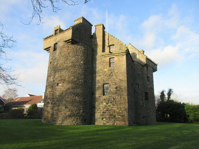
Claypotts Castle

Claypotts Castle is a late medieval castle in the suburban West Ferry area of Dundee, Scotland. It is one of the best-preserved examples of a 16th-century...

Nearby Amenities

Located within 500m of 56.478851,-2.9052748
Mini Roundabout
Lat/Long: 56.4783837/-2.9110634
Turning Circle
Lat/Long: 56.4768109/-2.9035199
Crossing
Crossing: traffic_signals
Crossing Island: yes
Tactile Paving: yes
Lat/Long: 56.4754277/-2.9009818
Mini Roundabout
Lat/Long: 56.4783634/-2.8972605
Mini Roundabout
Lat/Long: 56.4781743/-2.9006481
Mini Roundabout
Lat/Long: 56.4794187/-2.9111934
Mini Roundabout
Direction: clockwise
Lat/Long: 56.4819582/-2.9082538
Bus Stop
Gotterstone Avenue
Naptan AtcoCode: 6400PT1693
Naptan CommonName: Gotterstone Avenue
Naptan Indicator: at
Naptan NaptanCode: 36323283
Operator: Stagecoach
Public Transport: platform
Route Ref: 39
Shelter: no
Towards: Montrose
Lat/Long: 56.4747327/-2.9081627
Post Box
Collection Times: Mo-Fr 09:00; Sa 07:00
Operator: Royal Mail
Post Box Type: lamp
Ref: DD5 47D
Royal Cypher: scottish_crown
Lat/Long: 56.4754717/-2.9066314
Douglas
Loc Name: Douglas
Place: suburb
Population: 7404
Wikidata: Q5301146
Wikipedia: en:Douglas, Dundee
Lat/Long: 56.4786926/-2.9079664
McColl's
Addr City: Dundee
Addr Housenumber: 13
Addr Postcode: DD4 8SJ
Addr Street: Balmoral Terrace
Brand: McColl's
Brand Wikidata: Q16997477
Brand Wikipedia: en:McColl's
Shop: convenience
Website: https://my.morrisons.com/storefinder/61204/mccolls-dundee-balmoral-terrace
Lat/Long: 56.4806788/-2.9083983
Post Office
Ballindean Road Post Office
Addr City: Dundee
Addr Country: GB
Addr Housenumber: 13
Addr Postcode: DD4 8SJ
Addr Street: Balmoral Terrace
Brand: Post Office
Brand Wikidata: Q1783168
Contact Website: https://www.postoffice.co.uk/branch-finder/1398202/ballindean-road
Ref Pol Id: 2520
Lat/Long: 56.4806758/-2.9084707
Barrier: yes
Lat/Long: 56.4828205/-2.9089853
Crossing
Crossing Island: yes
Lat/Long: 56.4783414/-2.9025874
Generator Method: photovoltaic
Generator Output Electricity: yes
Generator Source: solar
Generator Type: solar_photovoltaic_panel
Power: generator
Lat/Long: 56.4811577/-2.9056958
Generator Method: photovoltaic
Generator Output Electricity: yes
Generator Source: solar
Generator Type: solar_photovoltaic_panel
Power: generator
Lat/Long: 56.479197/-2.9131767
Generator Method: photovoltaic
Generator Output Electricity: yes
Generator Source: solar
Generator Type: solar_photovoltaic_panel
Power: generator
Lat/Long: 56.4771441/-2.9067792
Generator Method: photovoltaic
Generator Output Electricity: yes
Generator Source: solar
Generator Type: solar_photovoltaic_panel
Power: generator
Lat/Long: 56.4782506/-2.9043787
Generator Method: photovoltaic
Generator Output Electricity: yes
Generator Source: solar
Generator Type: solar_photovoltaic_panel
Power: generator
Lat/Long: 56.478224/-2.904317
Generator Method: photovoltaic
Generator Output Electricity: yes
Generator Source: solar
Generator Type: solar_photovoltaic_panel
Power: generator
Lat/Long: 56.4780995/-2.9037349
Generator Method: photovoltaic
Generator Output Electricity: yes
Generator Source: solar
Generator Type: solar_photovoltaic_panel
Power: generator
Lat/Long: 56.4780655/-2.9037403
Generator Method: photovoltaic
Generator Output Electricity: yes
Generator Source: solar
Generator Type: solar_photovoltaic_panel
Power: generator
Lat/Long: 56.4792835/-2.9029103
Generator Method: photovoltaic
Generator Output Electricity: yes
Generator Source: solar
Generator Type: solar_photovoltaic_panel
Power: generator
Lat/Long: 56.4775174/-2.899184
Generator Method: photovoltaic
Generator Output Electricity: yes
Generator Source: solar
Generator Type: solar_photovoltaic_panel
Power: generator
Lat/Long: 56.4774705/-2.8991875
Generator Method: photovoltaic
Generator Output Electricity: yes
Generator Source: solar
Generator Type: solar_photovoltaic_panel
Power: generator
Lat/Long: 56.4774617/-2.9002103
Generator Method: photovoltaic
Generator Output Electricity: yes
Generator Source: solar
Generator Type: solar_photovoltaic_panel
Power: generator
Lat/Long: 56.4767768/-2.9038189
Generator Method: photovoltaic
Generator Output Electricity: yes
Generator Source: solar
Generator Type: solar_photovoltaic_panel
Power: generator
Lat/Long: 56.4769587/-2.9035201
Crossing
Crossing: unmarked
Crossing Island: no
Crossing Markings: no
Tactile Paving: no
Lat/Long: 56.481284/-2.9003911
Crossing
Crossing: unmarked
Crossing Island: no
Tactile Paving: no
Lat/Long: 56.4812497/-2.9036331
Bus Stop
Balmoral Place
Bench: no
Bin: yes
Bus: yes
Lit: no
Naptan AtcoCode: 6400PT1919
Naptan CommonName: Balmoral Place
Naptan Indicator: at
Naptan NaptanCode: 36325729
Public Transport: platform
Shelter: no
Tactile Paving: no
Lat/Long: 56.4799952/-2.9038625
Bus Stop
Ballater Place
Naptan AtcoCode: 6400PT1069
Naptan CommonName: Ballater Place
Naptan Indicator: at
Naptan NaptanCode: 36323529
Naptan Verified: no
Public Transport: platform
Lat/Long: 56.4795445/-2.9038681
Bus Stop
Bell and Sime
Bench: yes
Bin: yes
Naptan AtcoCode: 6400B2
Naptan CommonName: Bell and Sime
Naptan Indicator: opp
Naptan NaptanCode: 36323565
Naptan Verified: no
Public Transport: platform
Shelter: yes
Tactile Paving: no
Lat/Long: 56.4811592/-2.8993413
Bus Stop
Balmerino Place
Naptan AtcoCode: 6400PT1788
Naptan CommonName: Balmerino Place
Naptan Indicator: at
Naptan NaptanCode: 36323537
Naptan Verified: no
Public Transport: platform
Shelter: yes
Lat/Long: 56.479352/-2.9106595
Bus Stop
Balcairn Place
Naptan AtcoCode: 6400S212
Naptan CommonName: Balcairn Place
Naptan Indicator: at
Naptan NaptanCode: 36323536
Naptan Verified: no
Public Transport: platform
Shelter: yes
Lat/Long: 56.4793868/-2.9097207
Bus Stop
Balbeggie Place
Bench: yes
Bin: yes
Lit: no
Naptan AtcoCode: 6400S219
Naptan CommonName: Balbeggie Place
Naptan Indicator: near
Naptan NaptanCode: 36323539
Naptan Verified: no
Public Transport: platform
Shelter: yes
Tactile Paving: no
Lat/Long: 56.4789668/-2.9064766
Bus Stop
Balbeggie Place
Bench: yes
Naptan AtcoCode: 6400PT1655
Naptan CommonName: Balbeggie Place
Naptan Indicator: opp
Naptan NaptanCode: 36323548
Naptan Verified: no
Public Transport: platform
Shelter: yes
Lat/Long: 56.4789691/-2.905696
Bus Stop
Baluniefield Road
Naptan AtcoCode: 6400PT1747
Naptan CommonName: Baluniefield Road
Naptan Indicator: near
Naptan NaptanCode: 36323547
Naptan Verified: no
Public Transport: platform
Lat/Long: 56.4783825/-2.9022199
Bus Stop
Baluniefield Road
Naptan AtcoCode: 6400PT1787
Naptan CommonName: Baluniefield Road
Naptan Indicator: at
Naptan NaptanCode: 36323563
Naptan Verified: no
Public Transport: platform
Shelter: yes
Lat/Long: 56.4782033/-2.901835
Bus Stop
Balunie Place
Naptan AtcoCode: 6400PT1073
Naptan CommonName: Balunie Place
Naptan Indicator: near
Naptan NaptanCode: 36323543
Naptan Verified: no
Public Transport: platform
Lat/Long: 56.4782521/-2.8987464
Bus Stop
Balunie Gardens
Naptan AtcoCode: 6400S215
Naptan CommonName: Balunie Gardens
Naptan Indicator: opp
Naptan NaptanCode: 36323549
Naptan Verified: no
Public Transport: platform
Shelter: yes
Lat/Long: 56.4782344/-2.8979807
Crossing
Crossing: traffic_signals
Lat/Long: 56.4748206/-2.9066788
Trade Counter Online
Addr City: Dundee
Addr Housename: TCO
Addr Housenumber: 5
Addr Postcode: DD4 8UT
Addr Street: Baluniefield Trading Estate
Check Date Currency XBT: 2023-09-22
Currency XBT: yes
Email: customerservices@tco.co.uk
Opening Hours: Mo-Fr 09:00-17:00
Payment Lightning: yes
Shop: doityourself
Survey Date: 2023-09-22
Website: https://www.tco.co.uk
Lat/Long: 56.4821794/-2.9023147
Gotterstone
Place: suburb
Lat/Long: 56.4753329/-2.90638
The data included in this document is from www.openstreetmap.org. The data is made available under ODbL.

Have you been to Douglas and Angus?

Leave your review of Douglas and Angus below (or comments, questions and feedback).