Cairn Ewen

Hill, Mountain in Inverness-shire

Scotland

Cairn Ewen

Looking towards Carn Dearg from Carn Odhar Na Criche
Looking towards Carn Dearg from Carn Odhar Na Criche Credit: John McLuckie

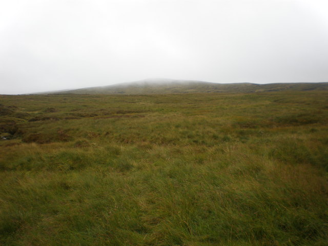
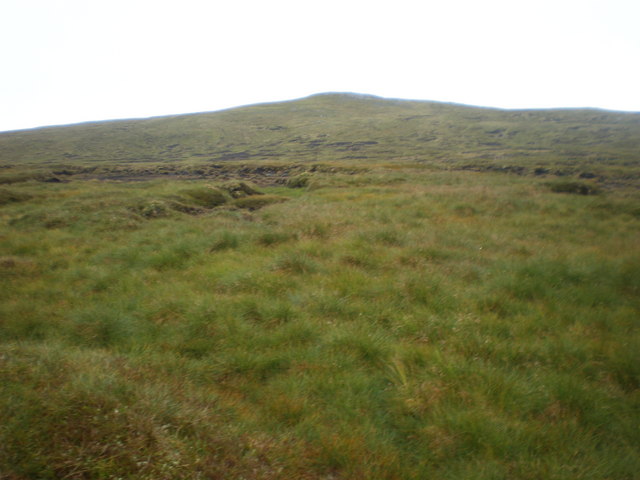
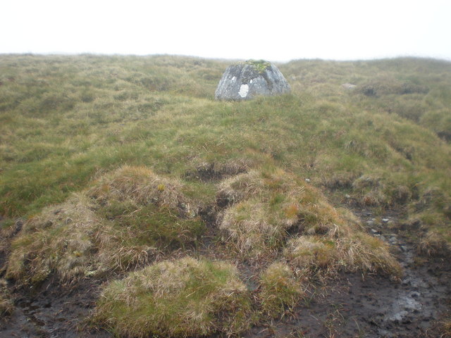
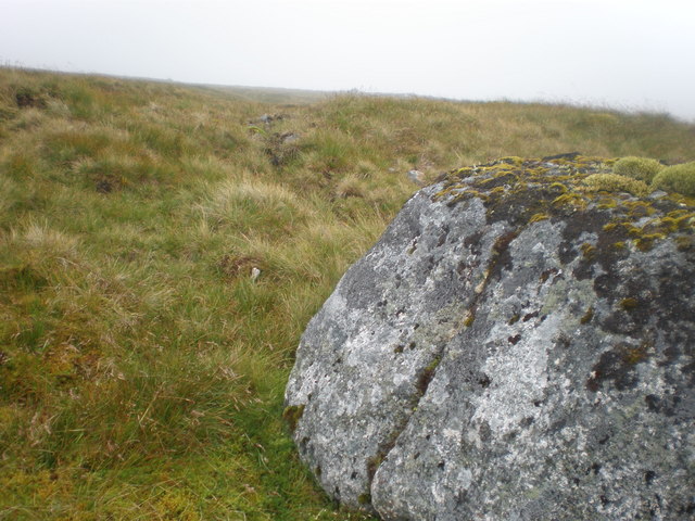
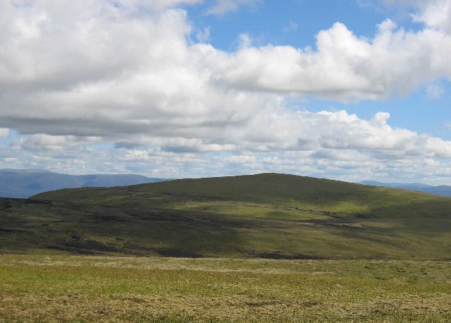
Cairn Ewen is a hill located in Inverness-shire, Scotland. It stands at an elevation of 344 meters (1,129 feet) above sea level and offers stunning panoramic views of the surrounding area. The hill is known for its rugged terrain and challenging hiking trails, making it a popular destination for outdoor enthusiasts and hikers looking for a more adventurous experience.

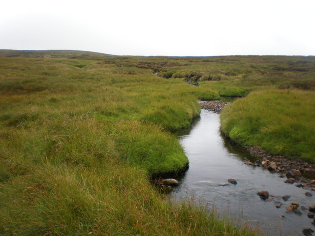
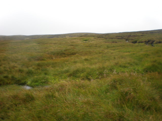
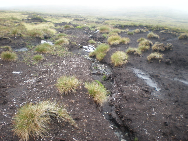
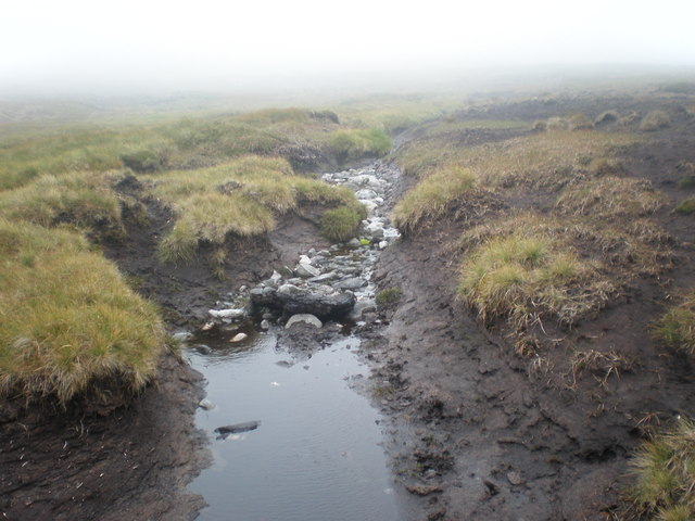
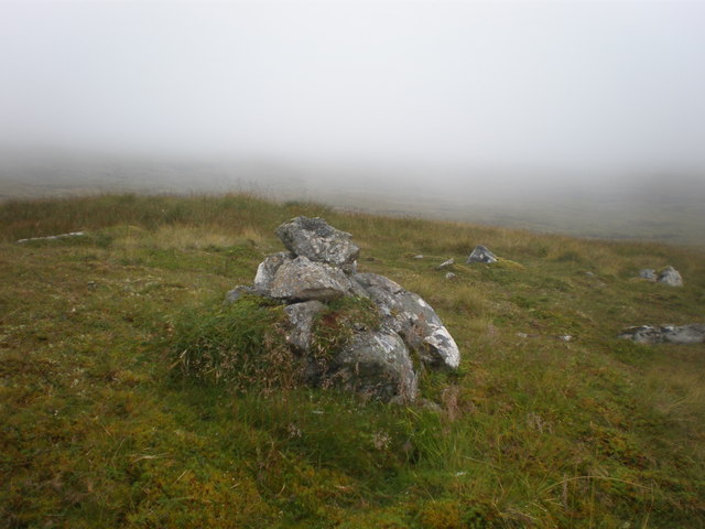
Cairn Ewen is situated near the village of Abriachan, and can be accessed via a network of footpaths and trails that wind through the Scottish Highlands. The hill is characterized by its rocky outcrops and heather-covered slopes, providing a diverse and picturesque landscape for visitors to explore.

At the summit of Cairn Ewen, hikers are rewarded with breathtaking views of Loch Ness and the Great Glen, as well as the surrounding mountains and valleys of Inverness-shire. The hill is also home to a variety of wildlife, including red deer, mountain hares, and a variety of bird species.

Overall, Cairn Ewen is a must-visit destination for those looking to experience the natural beauty and rugged terrain of the Scottish Highlands.

If you have any feedback on the listing, please let us know in the comments section below.
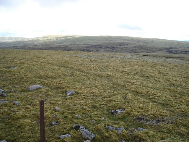
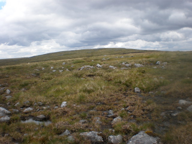
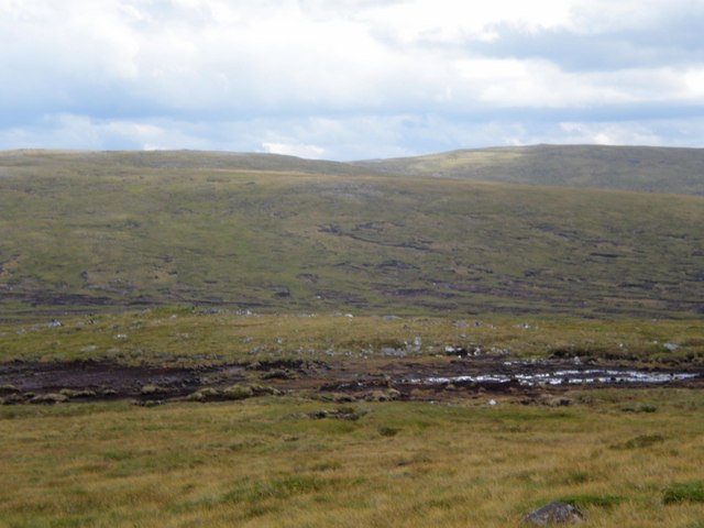
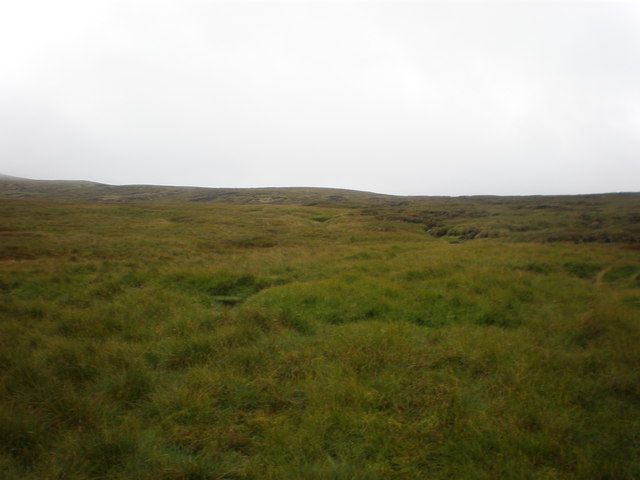
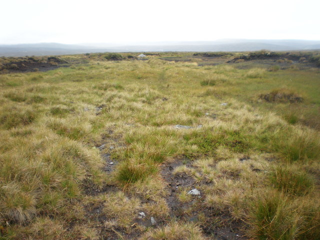
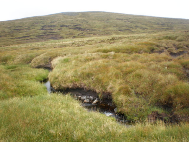
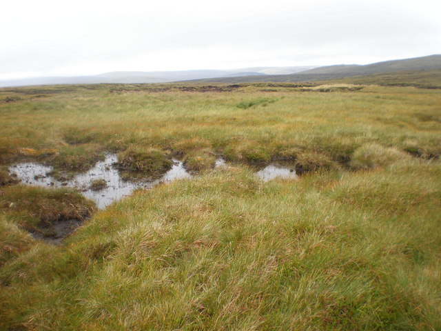
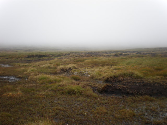
Cairn Ewen Images

Images are sourced within 2km of 57.093701/-4.330232 or Grid Reference NH5802. Thanks to Geograph Open Source API. All images are credited.

Looking towards Carn Dearg from Carn Odhar Na Criche
Looking up to Carn Donnachaidh Beag from start of Allt Mòr Most of the walk on this moorland is over 800m. I zig-zagged across moor for 5km and the only things other than the occasional burn was peat field, bogs, rocky outcrops and peat haggs.
Looking up to Carn Donnachaidh Beag from start of Allt Mòr
Most of the walk on this moorland is over 800m. I zig-zagged across moor for 5km and the only things other than the occasional burn was peat field, bogs, rocky outcrops and peat haggs.
Carn Donnachaidh Beag across Allt Mòr
Grouse moor near Caochan Uchdach looking east
Cloud descending over Grouse moor near Caochan Uchdach Visibility was limited for the next 6km once I was above 600m.
Cloud descending over Grouse moor near Caochan Uchdach
Visibility was limited for the next 6km once I was above 600m.
Caochan Uchdach coming north across Grouse moor While sitting having lunch a water vole popped up from the pool, saw me and disappeared again. The water was too black to see where it went
Caochan Uchdach coming north across Grouse moor
While sitting having lunch a water vole popped up from the pool, saw me and disappeared again. The water was too black to see where it went
Looking SE across Grouse moor to Carn na Criche
Looking NE across moorland to Cairn Ewen
Deer tracks crossing Boggy Moorland near watershed from Cairn Ewen
Allt Coire na Saobhaidh Tributary coming down from Cairn Ewen
Watershed of Allt Coire na Saobhaidhin below Coire Saobhaidh
Watershed of Allt Coire na Saobhaidhin as cloud comes down Good job I had my GPS to tell me exactly where I was when the cloud came and reduced visibility to about 50m.
Watershed of Allt Coire na Saobhaidhin as cloud comes down
Good job I had my GPS to tell me exactly where I was when the cloud came and reduced visibility to about 50m.
Rough Moorland on lower western slopes of Cairn Ewen
Crossing Bog in cloud on lower western slopes of Cairn Ewen
Tributary of Allt Coire na Saobhaidh on Cairn Ewen
Large Stone on lower western slopes of Cairn Ewen I thought it looked like a pudding
Large Stone on lower western slopes of Cairn Ewen
I thought it looked like a pudding
Large Boulder on lower western slopes of Cairn Ewen I could see a cairn through the mist and thought I had climbed further than I had. no such luck.
Large Boulder on lower western slopes of Cairn Ewen
I could see a cairn through the mist and thought I had climbed further than I had. no such luck.
Small Cairn on Cairn Ewen
Show me another place!

Cairn Ewen is located at Grid Ref: NH5802 (Lat: 57.093701, Lng: -4.330232)

Unitary Authority: Highland

Police Authority: Highlands and Islands

What 3 Words

///grandest.only.grandson. Near Newtonmore, Highland

Nearby Locations

Cairn Ewen

Related Wikis

Càrn Dearg, Monadh Liath

Càrn Dearg is the highest peak of the Monadh Liath mountains in the Highlands of Scotland. Its eastern flanks slope steeply down into Glen Ballach, while...

Laggan, Badenoch

Laggan (Gaelic: Lagan ) is a village in Badenoch, in the Highland region of Scotland. It is beside the River Spey, about 10 km west of Newtonmore. The...

A' Chailleach (Monadhliath Mountains)

A' Chailleach (Scottish Gaelic for 'the old woman or Cailleach') is one of the Monadhliath Mountains of Scotland. It lies 7 km (4.3 mi) northwest of Newtonmore...

Dùn dà Làmh

Dùn dà Làmh is a Pictish now ruined hill fort near Laggan in the Scottish Highlands. It became a scheduled monument in 1986, with an extension to the protected...

Have you been to Cairn Ewen?

Leave your review of Cairn Ewen below (or comments, questions and feedback).