Cnoc Cèislein
Hill, Mountain in Ross-shire
Scotland
Cnoc Cèislein

The requested URL returned error: 429 Too Many Requests
If you have any feedback on the listing, please let us know in the comments section below.
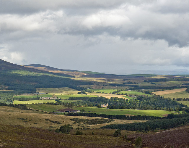
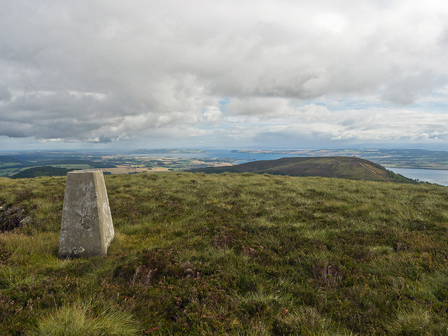
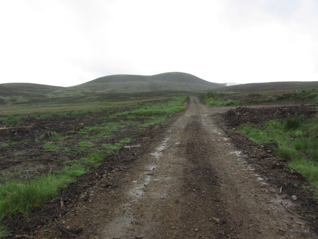
Cnoc Cèislein Images
Images are sourced within 2km of 57.703219/-4.3691994 or Grid Reference NH5870. Thanks to Geograph Open Source API. All images are credited.


Cnoc Cèislein is located at Grid Ref: NH5870 (Lat: 57.703219, Lng: -4.3691994)
Unitary Authority: Highland
Police Authority: Highlands and Islands
What 3 Words
///organ.clips.carefully. Near Evanton, Highland
Nearby Locations
Related Wikis
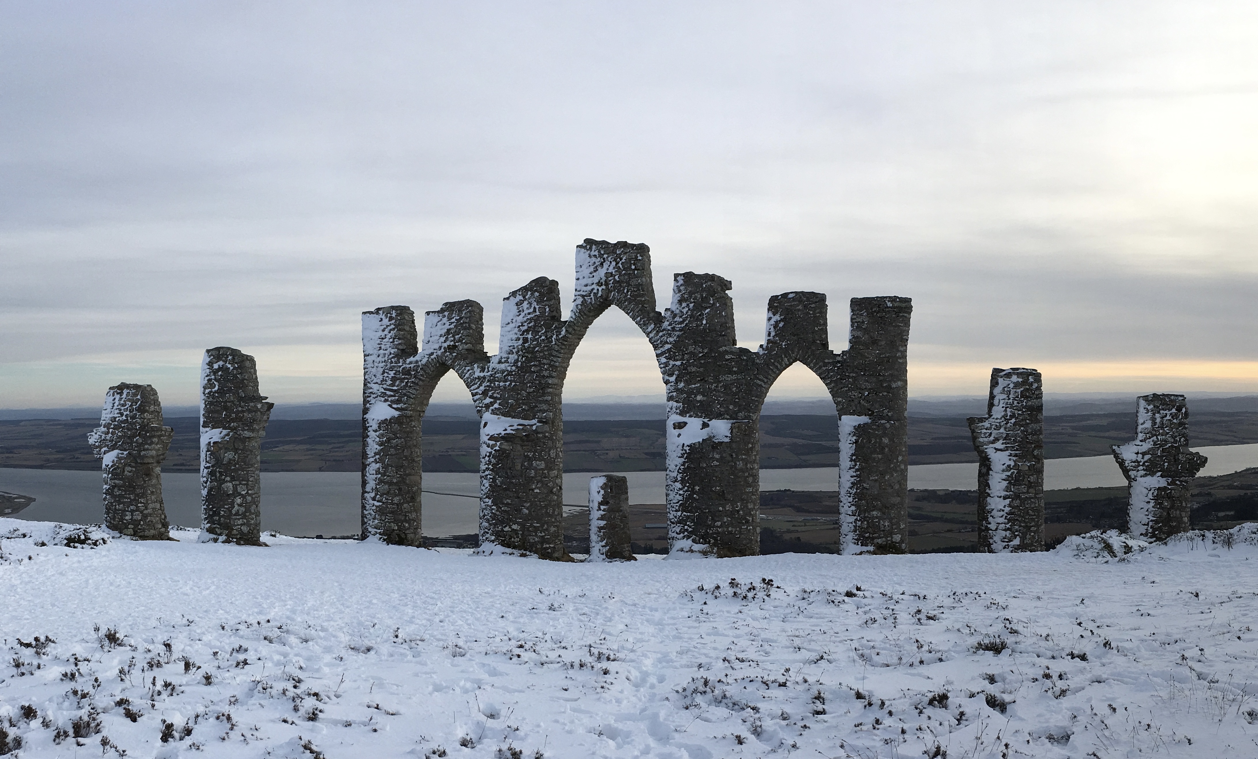
Fyrish Monument
The Fyrish Monument is a monument built in 1782 on Fyrish Hill (Scottish Gaelic: Cnoc Fhaoighris), in Fyrish in Evanton, near Alness, Easter Ross, Scotland...

Fyrish
Fyrish is the name given to an ancient area of land found just north of Evanton, Ross-shire, Scotland. The lands of Fyrish are now part of the Novar Estate...

Ardross, Highland
Ardross (Scottish Gaelic: Àird Rois, high-point of [Easter] Ross) is a rural area in the Highland region of Scotland, 30 miles (48 km) north of the nearest...
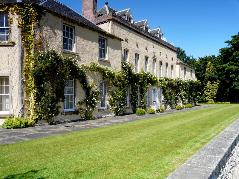
Novar House
Novar House is an 18th-century building, located 0.7 miles north of the village of Evanton in Ross, Scotland. It is built on the site of an earlier castle...
Nearby Amenities
Located within 500m of 57.703219,-4.3691994Have you been to Cnoc Cèislein?
Leave your review of Cnoc Cèislein below (or comments, questions and feedback).