Beinn Dearg
Hill, Mountain in Perthshire
Scotland
Beinn Dearg
Beinn Dearg is a prominent hill located in Perthshire, Scotland. It is part of the Grampian Mountains and stands at an impressive height of 1,004 meters (3,294 feet) above sea level. The name "Beinn Dearg" translates to "Red Mountain" in Scottish Gaelic, which is fitting as the hill is often characterized by its reddish-brown color.
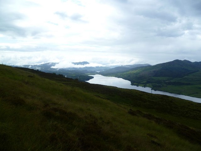
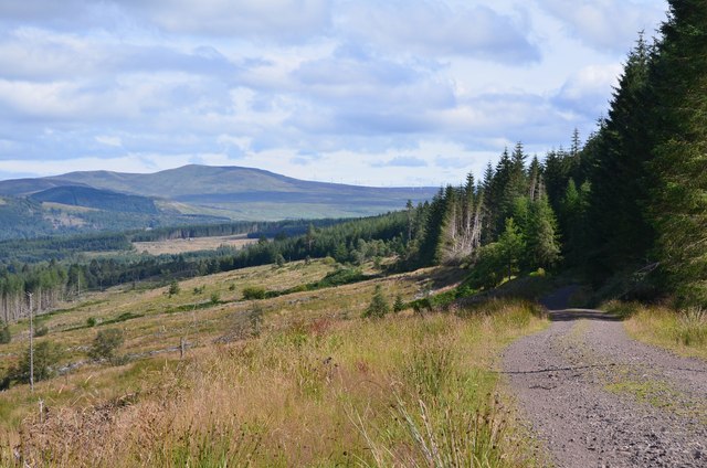
Situated in the heart of the Cairngorms National Park, Beinn Dearg offers breathtaking panoramic views of the surrounding landscape. Its location within the park also means that it is home to a diverse range of flora and fauna, making it a popular destination for nature enthusiasts and hikers. The hill is known for its challenging terrain, with steep slopes and rocky ridges, making it a thrilling adventure for experienced climbers.
The ascent of Beinn Dearg can be approached from different directions, with routes varying in difficulty and length. One of the most common routes begins at Inverey, a small village located to the south of the hill. The path takes hikers through picturesque glens, alongside sparkling streams, and eventually leads to the summit. Along the way, walkers may encounter wildlife such as red deer, golden eagles, and ptarmigans.
Reaching the summit of Beinn Dearg rewards visitors with breathtaking views of the surrounding peaks, including the nearby Cairn Toul and Braeriach. On clear days, it is even possible to see as far as the Ben Nevis range in the west. Overall, Beinn Dearg offers a challenging yet rewarding experience for outdoor enthusiasts and showcases the natural beauty of Perthshire.
If you have any feedback on the listing, please let us know in the comments section below.
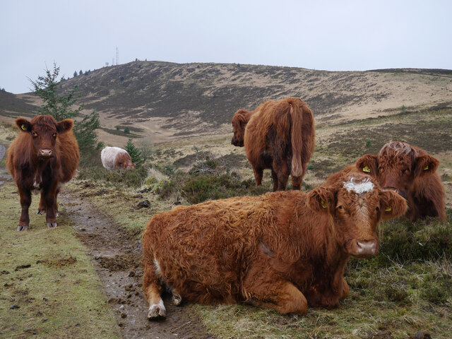
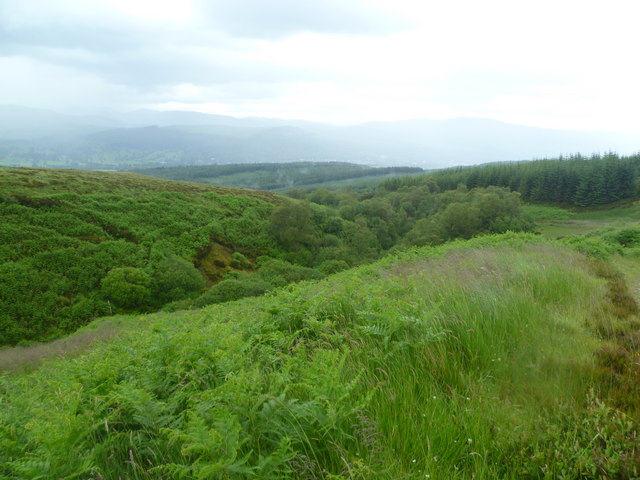
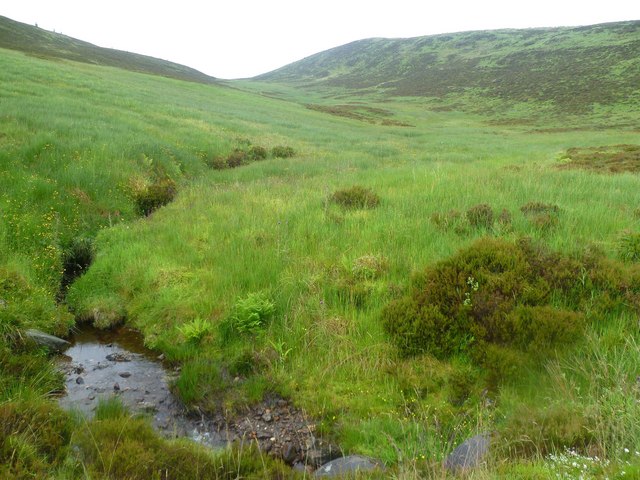
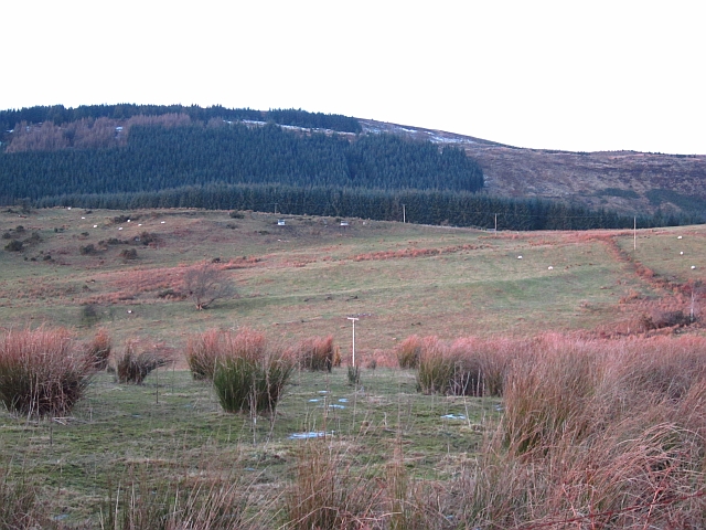
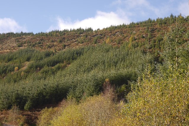
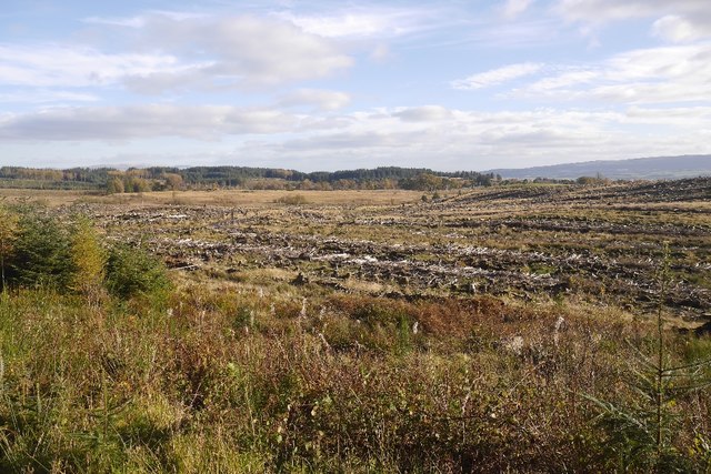
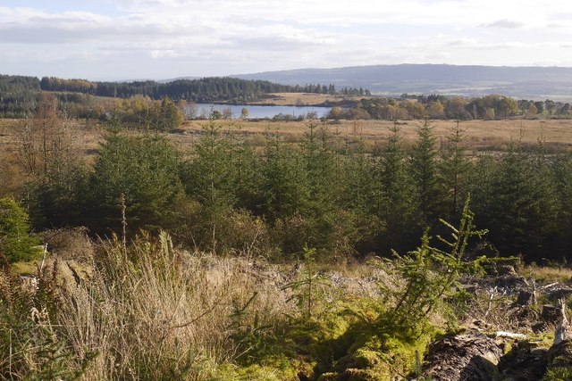
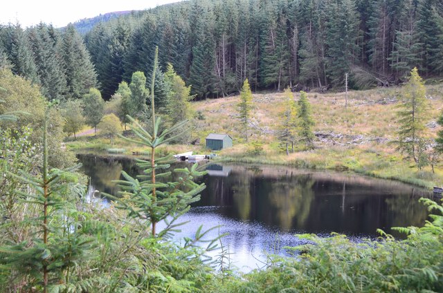
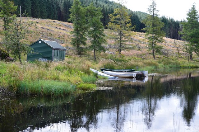
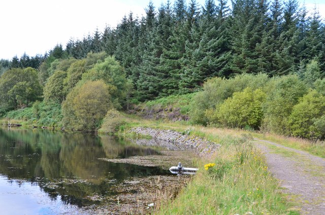
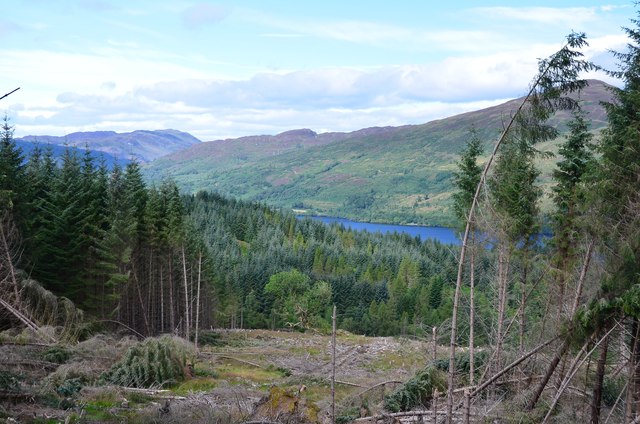
Beinn Dearg Images
Images are sourced within 2km of 56.205697/-4.2764874 or Grid Reference NN5803. Thanks to Geograph Open Source API. All images are credited.


Beinn Dearg is located at Grid Ref: NN5803 (Lat: 56.205697, Lng: -4.2764874)
Unitary Authority: Stirling
Police Authority: Forth Valley
What 3 Words
///perplexed.savers.prices. Near Callander, Stirling
Nearby Locations
Related Wikis

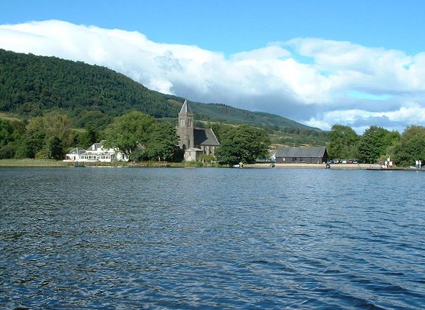
Loch Venachar
Loch Venachar (Scottish Gaelic: Loch Bheannchair) is a freshwater loch in Stirling district, Scotland. == Geography == The loch is situated between Callander...
Port of Menteith
Port of Menteith (Scottish Gaelic: Port Loch Innis Mo Cholmaig) is a village and civil parish in the Stirling district of Scotland, the only significant...

Rusky Castle
Rusky Castle, also known as Ruskie Castle, is a ruined castle on an islet on Loch Rusky, Stirling, Scotland. The islet is now submerged. The castle was...

Loch Rusky
Loch Rusky is a small freshwater loch near Callander in the Stirling council area in Scottish Highlands. == Geography == The lake lies in the Registration...
Nearby Amenities
Located within 500m of 56.205697,-4.2764874Have you been to Beinn Dearg?
Leave your review of Beinn Dearg below (or comments, questions and feedback).