Earls' Hill

Hill, Mountain in Perthshire

Scotland

Earls' Hill

Goodie Cottage The sign points down the side road to the Nick Nairn Cook School, Lochend Chalets and Lochend House.
Goodie Cottage Credit: Richard Sutcliffe

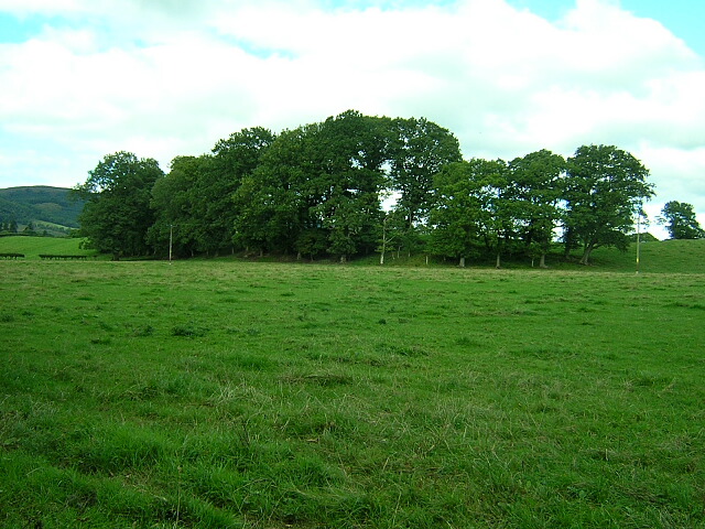
Earls' Hill is a prominent hill located in the county of Perthshire, Scotland. Standing at an elevation of approximately 286 meters (938 feet), it is classified as a hill rather than a mountain. It is situated near the small village of Muthill, about 5 kilometers (3 miles) west of Crieff.

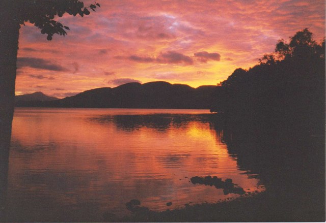
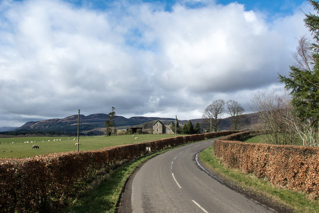
The hill gets its name from the Earls of Strathearn, who historically owned land in the area. It is a notable landmark in the region, offering stunning panoramic views of the surrounding countryside and nearby Ochil Hills. The top of the hill provides an excellent vantage point, allowing visitors to enjoy breathtaking vistas of the picturesque Perthshire landscape.

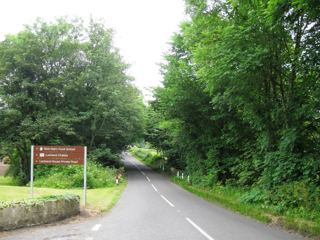
Earls' Hill is a popular destination for outdoor enthusiasts, hikers, and nature lovers. It features well-maintained walking trails that lead to the summit, making it accessible for people of all fitness levels. The trails wind through beautiful woodlands and offer opportunities for wildlife spotting, including various species of birds and small mammals.

The hill is also known for its historical significance. It is believed to have been the site of a fort during ancient times, with remains of earthworks and a ditch still visible today. This adds an extra layer of interest for those interested in archaeology and history.

Overall, Earls' Hill is a stunning natural landmark in Perthshire, offering visitors the chance to immerse themselves in Scotland's beautiful countryside, enjoy breathtaking views, and explore its rich historical past.

If you have any feedback on the listing, please let us know in the comments section below.
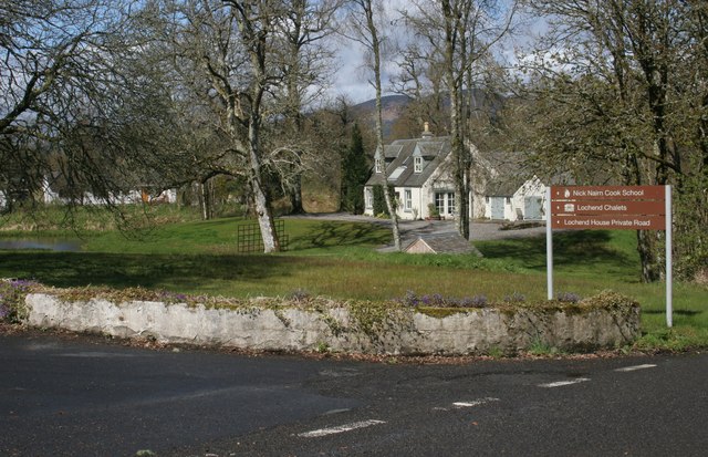
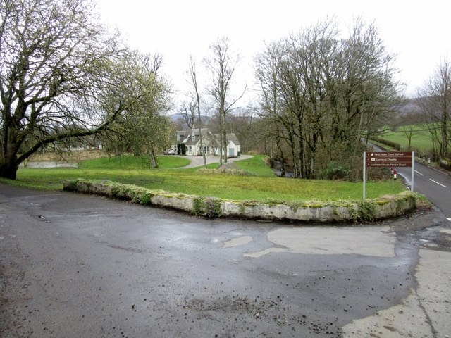
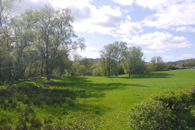
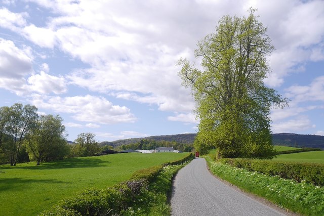
Earls' Hill Images

Images are sourced within 2km of 56.181567/-4.2749937 or Grid Reference NN5801. Thanks to Geograph Open Source API. All images are credited.

Goodie Cottage The sign points down the side road to the Nick Nairn Cook School, Lochend Chalets and Lochend House.
Goodie Cottage
The sign points down the side road to the Nick Nairn Cook School, Lochend Chalets and Lochend House.
Entrance to Nick Nairn Cook School
Between Inchie and Lochend A field up against the woods around Lochend and Lake of Menteith.
Between Inchie and Lochend
A field up against the woods around Lochend and Lake of Menteith.
B8034 Near Inchie and the Lake of Menteith.
B8034
Near Inchie and the Lake of Menteith.
Sunset over Lake of Menteith Taken from the shore of Lochend Chalets
Sunset over Lake of Menteith
Taken from the shore of Lochend Chalets
Lochend Chalets by the Lake of Menteith
Lochend Farm The B8034 passes close to Lochend Farm which must have a commanding view over the hidden Lake of Menteith. The Menteith Hills are prominent in the distance beyond the lake.
Lochend Farm
The B8034 passes close to Lochend Farm which must have a commanding view over the hidden Lake of Menteith. The Menteith Hills are prominent in the distance beyond the lake.
B8034 northbound, Lochend House
Bank of Trees Bank of trees near Inchie
Bank of Trees
Bank of trees near Inchie
Lochend Cottages Looking Northwards over grazing land. Cookery school named after famous chef is main building on right.
Lochend Cottages
Looking Northwards over grazing land. Cookery school named after famous chef is main building on right.
Disused building on the banks of the Lake of Menteith This building used to house a generator which was used to supply electricity to Lochend House
Disused building on the banks of the Lake of Menteith
This building used to house a generator which was used to supply electricity to Lochend House
Turnip field on the shores of the Lake of Menteith
Pasture, Port of Menteith Wet and rashy in places, typical of the area.
Pasture, Port of Menteith
Wet and rashy in places, typical of the area.
Damp pasture near Lake of Menteith There is a lot of moss land in the area, and the higher, better drained parts are still wet.
Damp pasture near Lake of Menteith
There is a lot of moss land in the area, and the higher, better drained parts are still wet.
Give Way sign east of Port of Monteith
Fields on A81 near Blairhoyle
A81 Castle Rednock Trekking Centre The A81 is a 35 mile long route from Glasgow to Callander. It starts directly underneath the M8 motorway. It goes through Maryhill, Bearsden and Milngavie before reaching the countryside. It goes through Strathblane but bypasses Killearn before entering the Trossachs. Before reaching Aberfoyle it turns off towards the Lake of Menteith and finally crosses the River Teith before ending on the A84 in Callander.
A81 Castle Rednock Trekking Centre
The A81 is a 35 mile long route from Glasgow to Callander. It starts directly underneath the M8 motorway. It goes through Maryhill, Bearsden and Milngavie before reaching the countryside. It goes through Strathblane but bypasses Killearn before entering the Trossachs. Before reaching Aberfoyle it turns off towards the Lake of Menteith and finally crosses the River Teith before ending on the A84 in Callander.
A81 Near Ballabeg The A81 is a 35 mile long route from Glasgow to Callander. It starts directly underneath the M8 motorway. It goes through Maryhill, Bearsden and Milngavie before reaching the countryside. It goes through Strathblane but bypasses Killearn before entering the Trossachs. Before reaching Aberfoyle it turns off towards the Lake of Menteith and finally crosses the River Teith before ending on the A84 in Callander.
A81 Near Ballabeg
The A81 is a 35 mile long route from Glasgow to Callander. It starts directly underneath the M8 motorway. It goes through Maryhill, Bearsden and Milngavie before reaching the countryside. It goes through Strathblane but bypasses Killearn before entering the Trossachs. Before reaching Aberfoyle it turns off towards the Lake of Menteith and finally crosses the River Teith before ending on the A84 in Callander.
Show me another place!

Earls' Hill is located at Grid Ref: NN5801 (Lat: 56.181567, Lng: -4.2749937)

Unitary Authority: Stirling

Police Authority: Forth Valley

What 3 Words

///amending.noise.revolting. Near Callander, Stirling

Related Wikis

Port of Menteith

Port of Menteith (Scottish Gaelic: Port Loch Innis Mo Cholmaig) is a village and civil parish in the Stirling district of Scotland, the only significant...
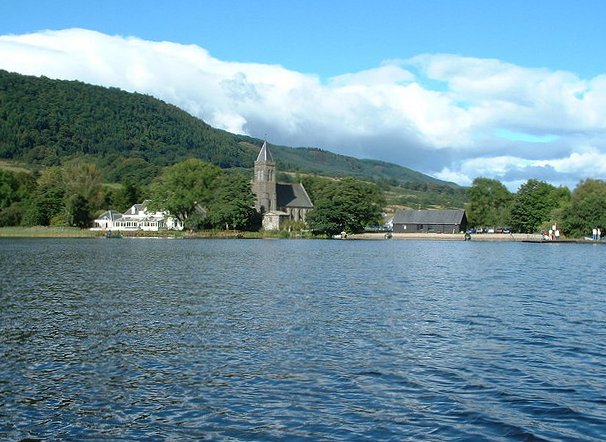
Lake of Menteith

Lake of Menteith, also known as Loch Inchmahome (Scottish Gaelic: Loch Innis Mo Cholmaig), is a loch in Scotland located on the Carse of Stirling (the...

Inchmahome

Inchmahome, an anglicisation of Innis Mo Cholmaig ("my-Colmac's island"), is the largest of three islands in the Lake of Menteith, in Stirlingshire....
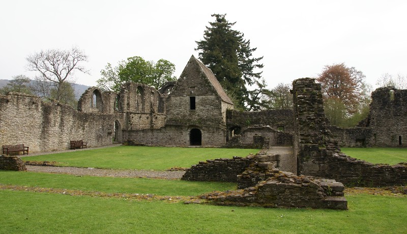
Inchmahome Priory

Inchmahome Priory is situated on Inchmahome, the largest of three islands in the centre of the Lake of Menteith, close to Aberfoyle, Scotland. The name...

Talla Castle

Talla Castle, also known as Inch Talla or Inchtalla Castle, was a 15th-century castle on Inchtalla upon Lake of Menteith, Scotland. The castle was built...

Inchtalla

Inchtalla or Inch Talla is an island in the Loch or Lake of Menteith in central Scotland. Its name derives from the Gaelic words innis ("island") and...

Rusky Castle

Rusky Castle, also known as Ruskie Castle, is a ruined castle on an islet on Loch Rusky, Stirling, Scotland. The islet is now submerged. The castle was...
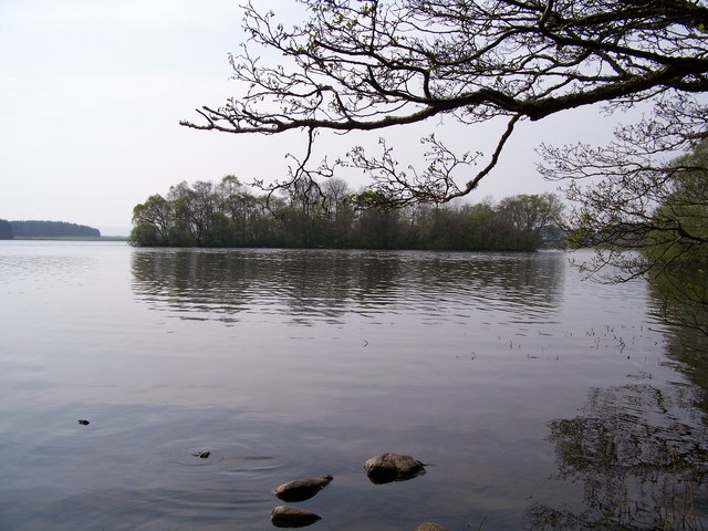
Loch Rusky

Loch Rusky is a small freshwater loch near Callander in the Stirling council area in Scottish Highlands. == Geography == The lake lies in the Registration...

Nearby Amenities

Located within 500m of 56.181567,-4.2749937
Parking
Lat/Long: 56.178088/-4.2775762
Power: pole
Lat/Long: 56.1858085/-4.2757688
The data included in this document is from www.openstreetmap.org. The data is made available under ODbL.

Have you been to Earls' Hill?

Leave your review of Earls' Hill below (or comments, questions and feedback).