Allanrowie

Hill, Mountain in Stirlingshire

Scotland

Allanrowie

Gate above Balglass Gateway on the Campsie Fells, below the wide open spaces of rough grazing that make up this square.
Gate above Balglass Credit: Richard Webb

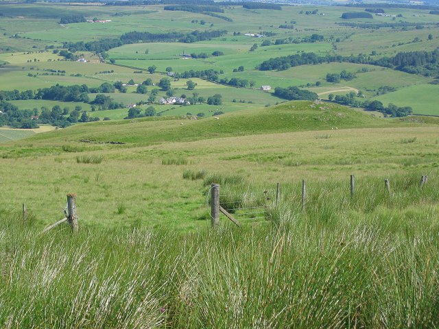
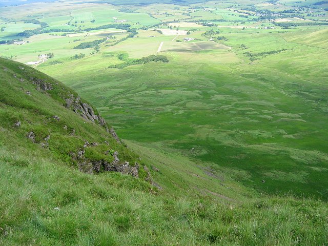
Allanrowie is a prominent hill located in Stirlingshire, Scotland. Situated in the picturesque countryside, it offers stunning panoramic views of the surrounding area. The hill stands at an elevation of approximately 384 meters (1,260 feet) above sea level.

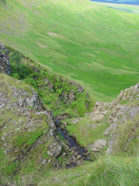
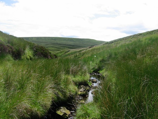
Covered in lush greenery, Allanrowie is a favorite destination for hikers and nature enthusiasts. Its diverse flora and fauna make it an ideal spot for wildlife observation and conservation. The hill provides a habitat for various bird species, including peregrine falcons and buzzards, making it a popular spot for birdwatching.

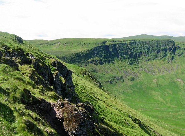
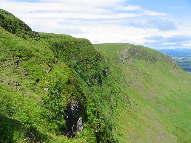
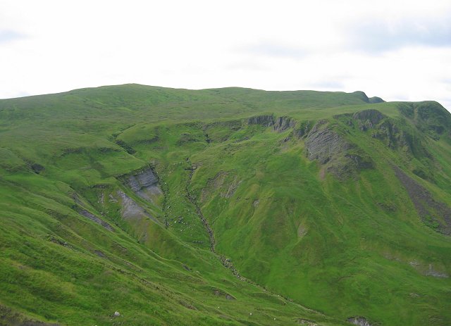
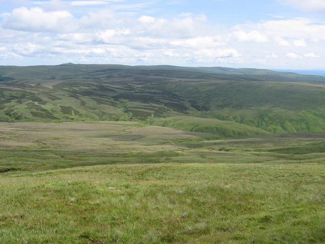
The ascent to the summit of Allanrowie is relatively moderate, with well-maintained paths leading to the top. As hikers make their way up, they are rewarded with breathtaking views of the surrounding landscape, including rolling hills, meandering rivers, and nearby villages.

At the peak, visitors can take in the beauty of Stirlingshire, with landmarks such as the Wallace Monument and Stirling Castle visible in the distance. On clear days, the view extends as far as the Trossachs National Park and the peaks of the Grampian Mountains.

Allanrowie is not only a natural gem but also a place of historical significance. The hill is believed to have been used as a lookout point during battles in Scotland’s turbulent past. Today, it serves as a reminder of the region's rich history and offers a tranquil retreat for those seeking solace in nature.

If you have any feedback on the listing, please let us know in the comments section below.
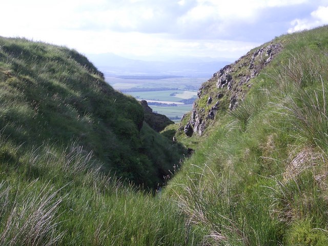
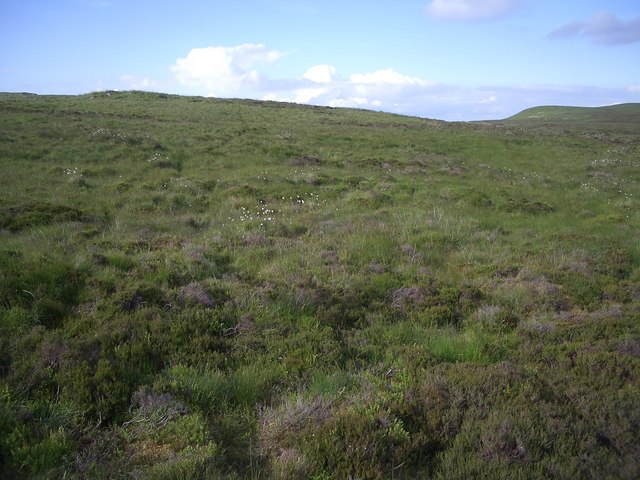
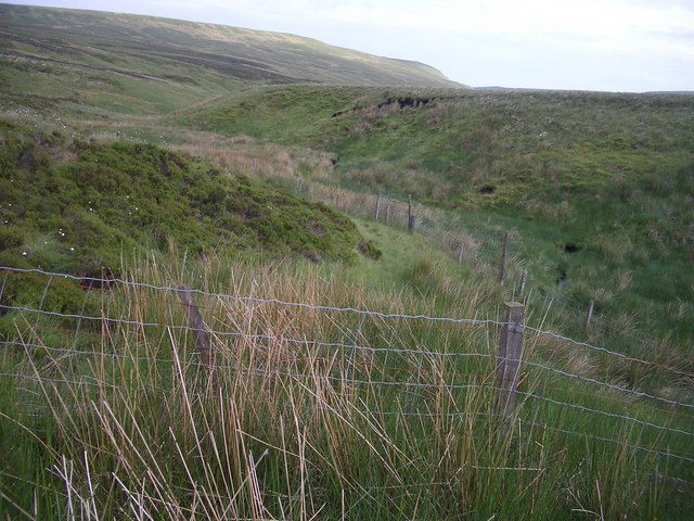
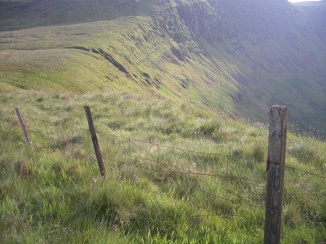
Allanrowie Images

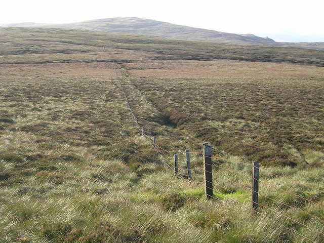
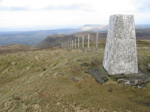
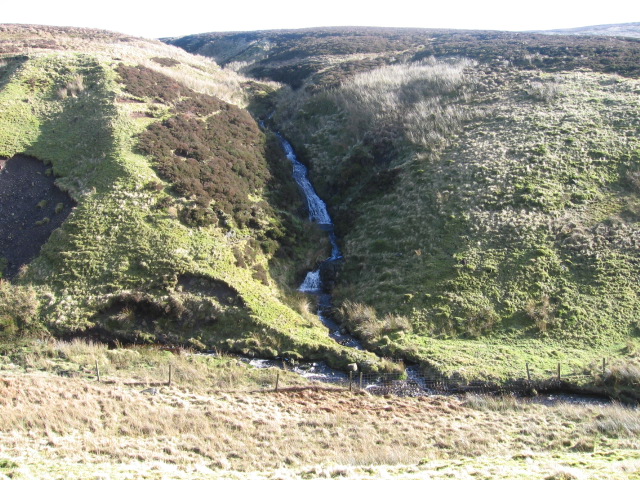
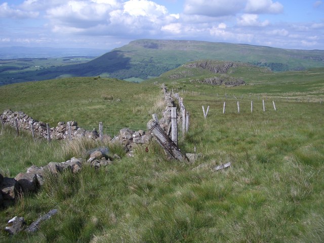
Images are sourced within 2km of 56.032205/-4.2673835 or Grid Reference NS5884. Thanks to Geograph Open Source API. All images are credited.

Gate above Balglass Gateway on the Campsie Fells, below the wide open spaces of rough grazing that make up this square.
Gate above Balglass
Gateway on the Campsie Fells, below the wide open spaces of rough grazing that make up this square.
Coire of Balglass The Campsie Fell's big attraction - only I doubt many come here. A big bowl with exposed trap crags. The crags are heavily vegetated.
Coire of Balglass
The Campsie Fell's big attraction - only I doubt many come here. A big bowl with exposed trap crags. The crags are heavily vegetated.
Balglass burn Burn draining a bog at the head of the corrie plunges over the edge on the way down through the Coire of Balglass to the Endrick.
Balglass burn
Burn draining a bog at the head of the corrie plunges over the edge on the way down through the Coire of Balglass to the Endrick.
Crags, Coire of Balglass. The big vegetated crag at the back of Coire of Balglass. This is a refuge for the sort of plants that would be growing on the hill if it were not for the grazing.
Crags, Coire of Balglass.
The big vegetated crag at the back of Coire of Balglass. This is a refuge for the sort of plants that would be growing on the hill if it were not for the grazing.
Corrie of Balglass The floor of the corrie takes up a fair chunk of this square. looking into the depths from the western rim.
Corrie of Balglass
The floor of the corrie takes up a fair chunk of this square. looking into the depths from the western rim.
Jocks Cairn. On the small sharp summit of Barniemore. View over the square showing the new forestry plantations below the scarp.
Jocks Cairn.
On the small sharp summit of Barniemore. View over the square showing the new forestry plantations below the scarp.
Little Corrie Another chunk bitten out of the north side of the Campsie Fells.  This is smaller than Balglass, but still a very scenic feature. The highest point of the skyline is Earl's Seat, the highest point in the Campsie Fells.
Little Corrie
Another chunk bitten out of the north side of the Campsie Fells. This is smaller than Balglass, but still a very scenic feature. The highest point of the skyline is Earl's Seat, the highest point in the Campsie Fells.
Campsie Plateau Eastward view from below the summit of Earl's seat showing the big undulating boggy plateau of the Campsie Fells.
Campsie Plateau
Eastward view from below the summit of Earl's seat showing the big undulating boggy plateau of the Campsie Fells.
Upper Finglen A small burn running off Earl's Seat - this soon becomes a deep glen dividing the southern scarp of the Campsie Fells.
Upper Finglen
A small burn running off Earl's Seat - this soon becomes a deep glen dividing the southern scarp of the Campsie Fells.
Fenceline from Hart Hill Looking towards Earl's Seat in the distance
Fenceline from Hart Hill
Looking towards Earl's Seat in the distance
Earl's Seat trig point S1622 towards Allanrowie
Across Finglen Burn to Flaughter burn
Walls and fences Crumbling dry stone walls have been replaced by fences which are now showing their age.
A view to Dunmore and Stronend.
Walls and fences
Crumbling dry stone walls have been replaced by fences which are now showing their age. A view to Dunmore and Stronend.
Crag, Corrie of Balglass Distinctive crag on the eastern side of the Corrie of Balglass.
Crag, Corrie of Balglass
Distinctive crag on the eastern side of the Corrie of Balglass.
Cloch Burn Burn, slowly cutting a gouge in the rim of the Corrie of Balglass.
Cloch Burn
Burn, slowly cutting a gouge in the rim of the Corrie of Balglass.
Campsie moorland The Campsie Fells are distinctive on their north side by their steep escarpments.  Stick to the top of the cliffs and the walking is generally easy going.  Away from the crags, it's often a different story with deep grass, heather and tufts.
Campsie moorland
The Campsie Fells are distinctive on their north side by their steep escarpments. Stick to the top of the cliffs and the walking is generally easy going. Away from the crags, it's often a different story with deep grass, heather and tufts.
Finglen Burn The Burn starts life high on the Campsie moorland.
Finglen Burn
The Burn starts life high on the Campsie moorland.
Corrie of Balglass
Corrie of Balglass
Show me another place!

Allanrowie is located at Grid Ref: NS5884 (Lat: 56.032205, Lng: -4.2673835)

Unitary Authority: Stirling

Police Authority: Forth Valley

What 3 Words

///arose.shadows.dentures. Near Strathblane, Stirling

Nearby Locations

Allanrowie

Related Wikis

Earl's Seat

Earl's Seat (578 m) is the highest hill of the Campsie Fells in Central Scotland. It lies on the border of Stirlingshire and East Dunbartonshire in central...

Campsie, East Dunbartonshire

Campsie is a civil parish in East Dunbartonshire, Scotland. The parish was formerly part of Stirlingshire. == Settlements == Auchenreoch Clachan of Campsie...

Campsie Fells

The Campsie Fells (also known as the Campsies; Scottish Gaelic: Monadh Chamaisidh) are a range of hills in central Scotland, stretching east to west from...

Fintry

Fintry is a small riverside village in Stirlingshire, central Scotland. It is located 16 miles (26 km) south-west of Stirling and around 19 miles (31 km...

Have you been to Allanrowie?

Leave your review of Allanrowie below (or comments, questions and feedback).